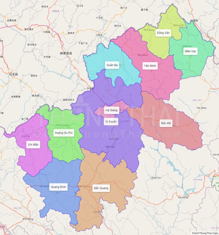
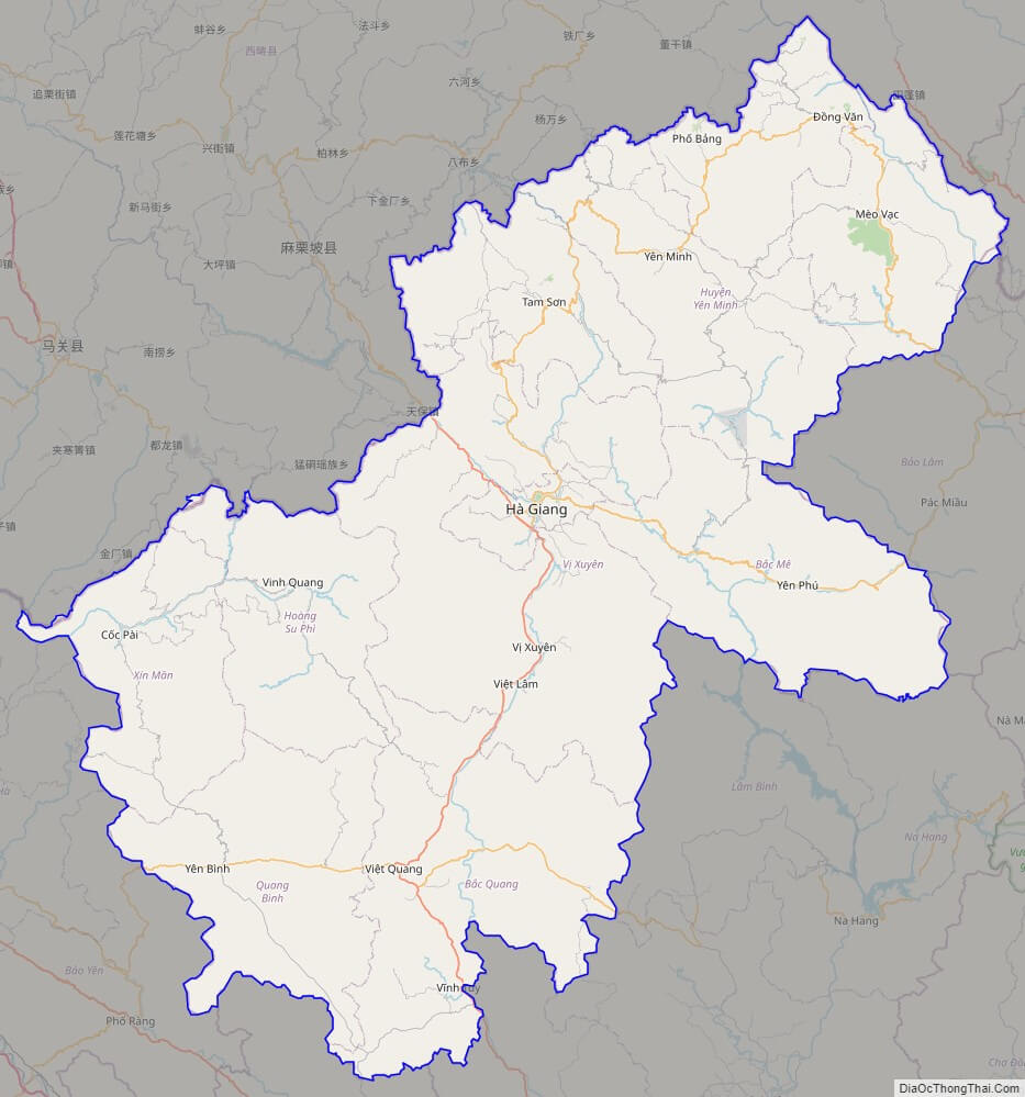
Ha Giang is a province in the Northeast region of Vietnam. It is located in the far north of the country, and contains Vietnam’s northernmost point. It shares a 270 km long border with Yunnan province of southern China, and thus is known as Vietnam’s final frontier. The province covers an area of 7,945.8 square kilometres and as of 2008 it had a population of 705,100 people.
The provincial capital, also called Ha Giang, is connected by Highway 2 and is 320 km away from Hanoi. The border crossing is at Thanh Thuy, 25 km from the capital, Ha Giang city. It is one of the poorest provinces of Vietnam as it has mountainous topography with the least potential for agricultural development.
The province borders China with a length of over 270 km; the border gate is known as the Thanh Thuy. In addition, there are three smaller gates namely, the Pho Bang, the Xin Man and Sam Pun.
The province’s name derives from Sino-Vietnamese 河江. Both characters mean river.
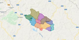
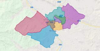
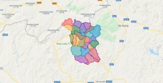
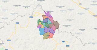
Political Map of Ha Giang province
Click on ![]() to view map in "full screen" mode.
to view map in "full screen" mode.
Base Map Layer: Open Street Map (OSM), Arcgisonline, Google Map, Wmflabs.
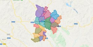
Large scale maps of Ha Giang province


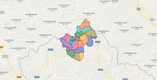
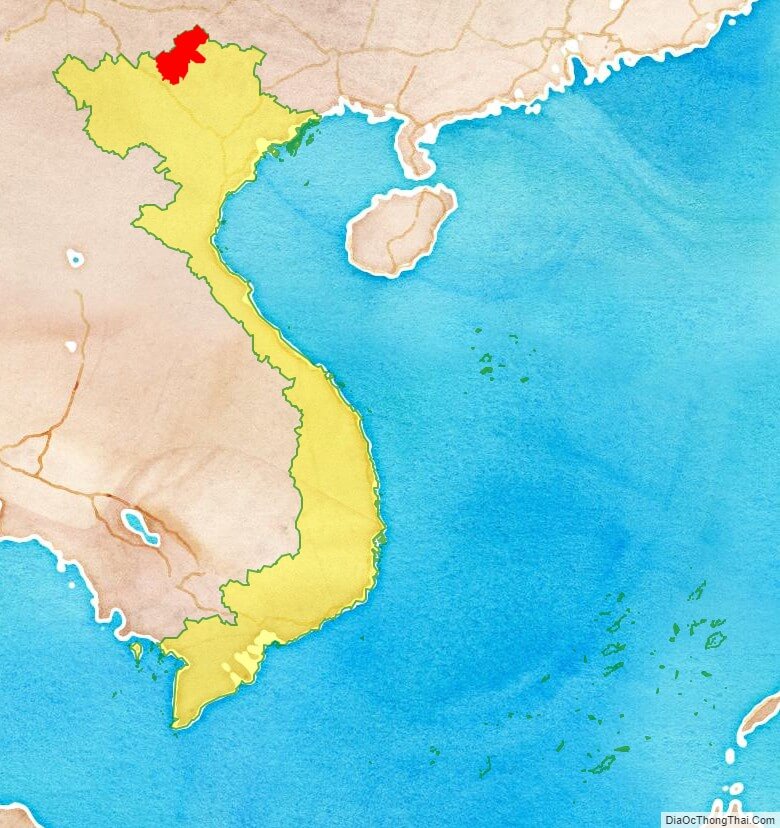
Ha Giang province location map
Ha Giang street map
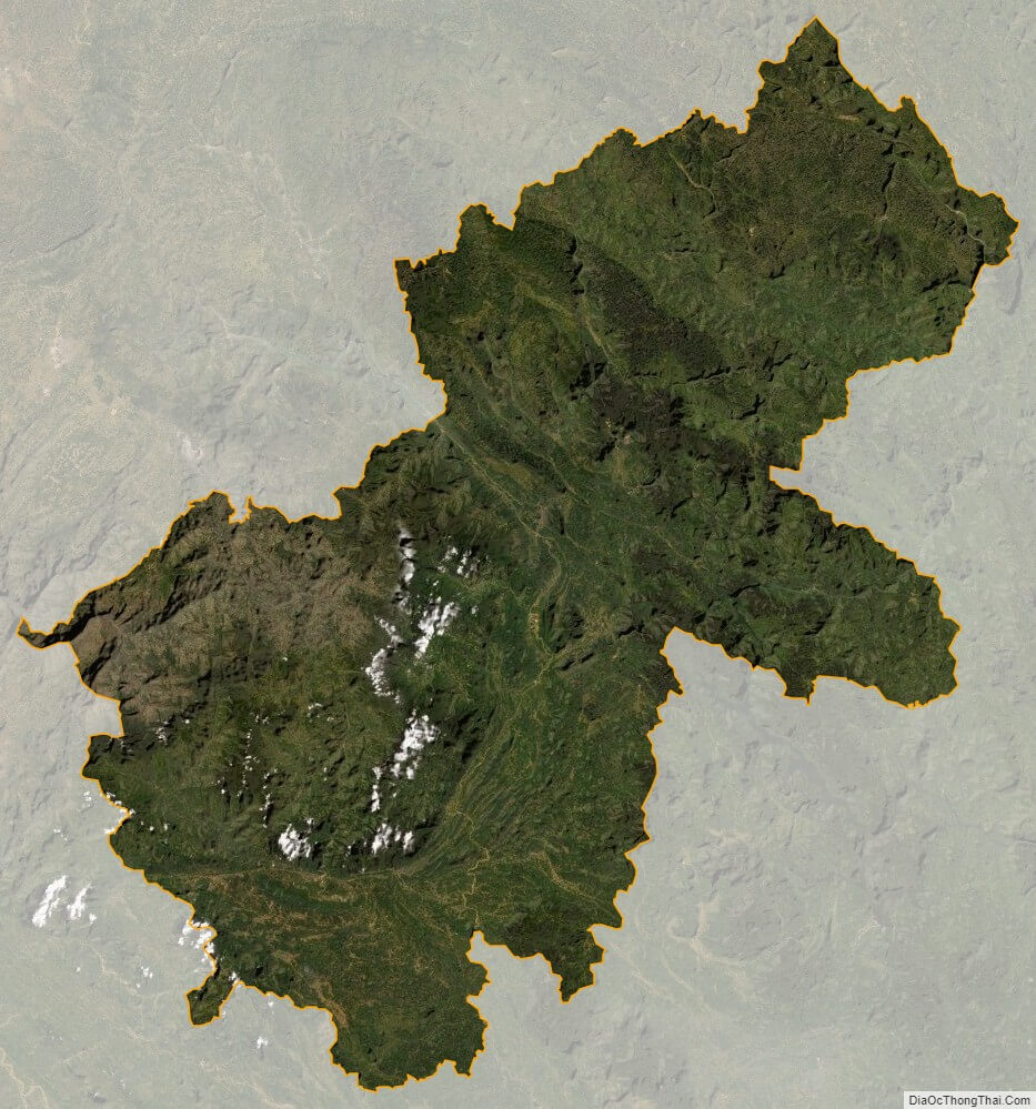
Ha Giang satellite map