Ha Tinh is a province on the North Central Coast of Vietnam. Together with neighbouring Nghe An Province the two provinces are together called “Nghe Tinh”, and the locals are known for speaking Vietnamese with a very noticeable accent.
Ha Tinh Province is located in the northern part of central Vietnam, about 340 km (211 miles) south of Hanoi, facing Nghe An Province to the north, Quang Binh Province to the south, Laos to the west, and the Eastern Sea to the east.
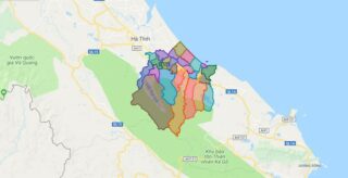
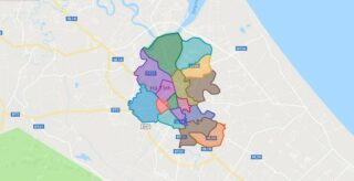
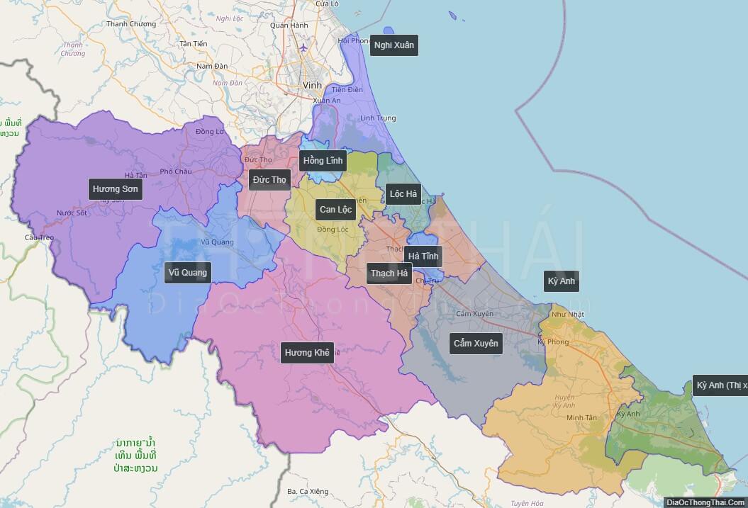
Political Map of Ha Tinh province
Click on ![]() to view map in "full screen" mode.
to view map in "full screen" mode.
Base Map Layer: Open Street Map (OSM), Arcgisonline, Google Map, Wmflabs.
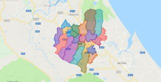
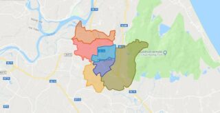
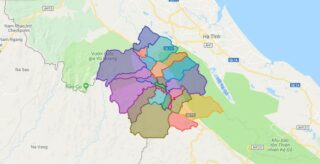
Large scale maps of Ha Tinh province
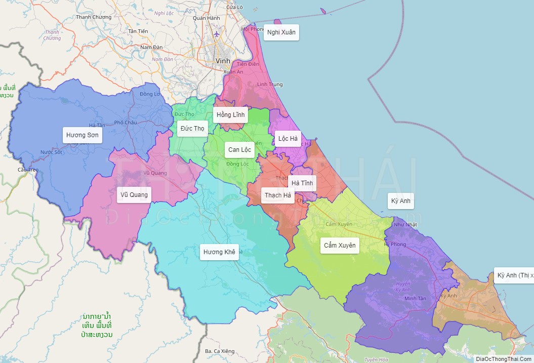
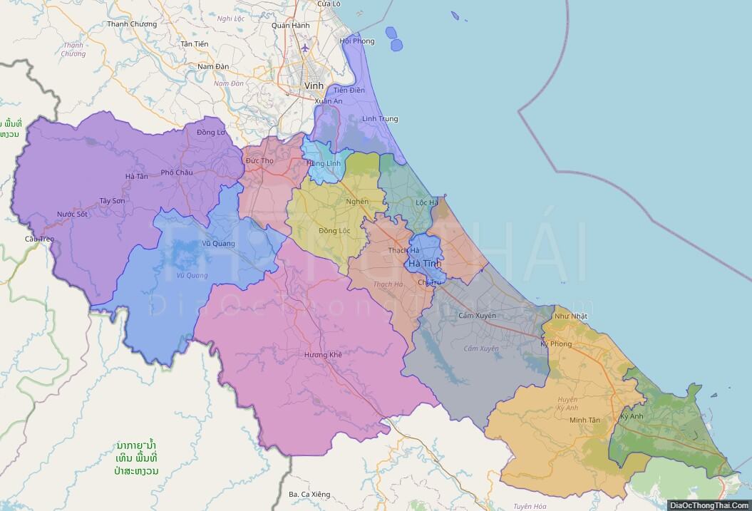
Ha Tinh province location map

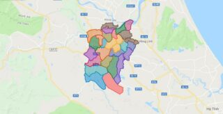
Ha Tinh street map

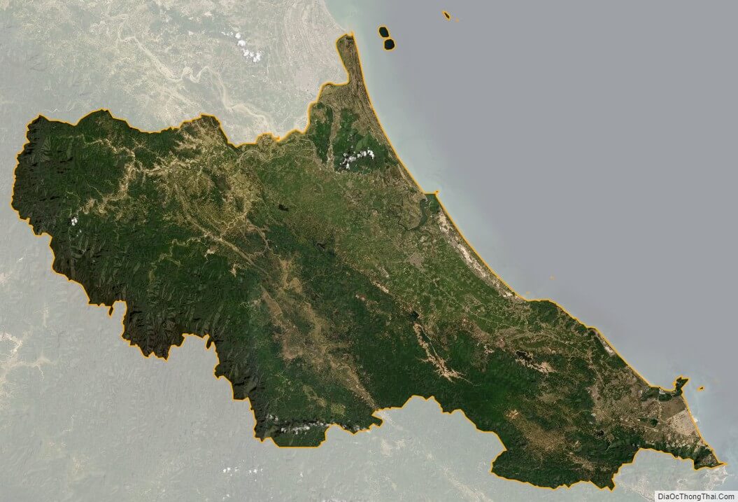
Ha Tinh satellite map