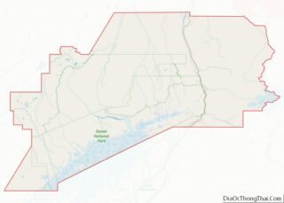
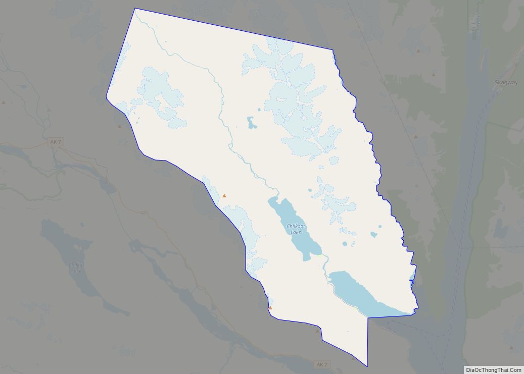
Haines Borough is a home-rule borough located in the state of Alaska. As of the 2020 census, the population was 2,080, down from 2,508 in 2010.
| Name: | Haines Borough |
|---|---|
| FIPS code: | 02-100 |
| State: | Alaska |
| Founded: | August 29, 1968 |
| Named for: | Haines |
| Total Area: | 2,726 sq mi (7,060 km²) |
| Land Area: | 2,319 sq mi (6,010 km²) |
| Total Population: | 2,080 |
| Population Density: | 0.76/sq mi (0.29/km²) |
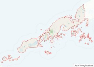
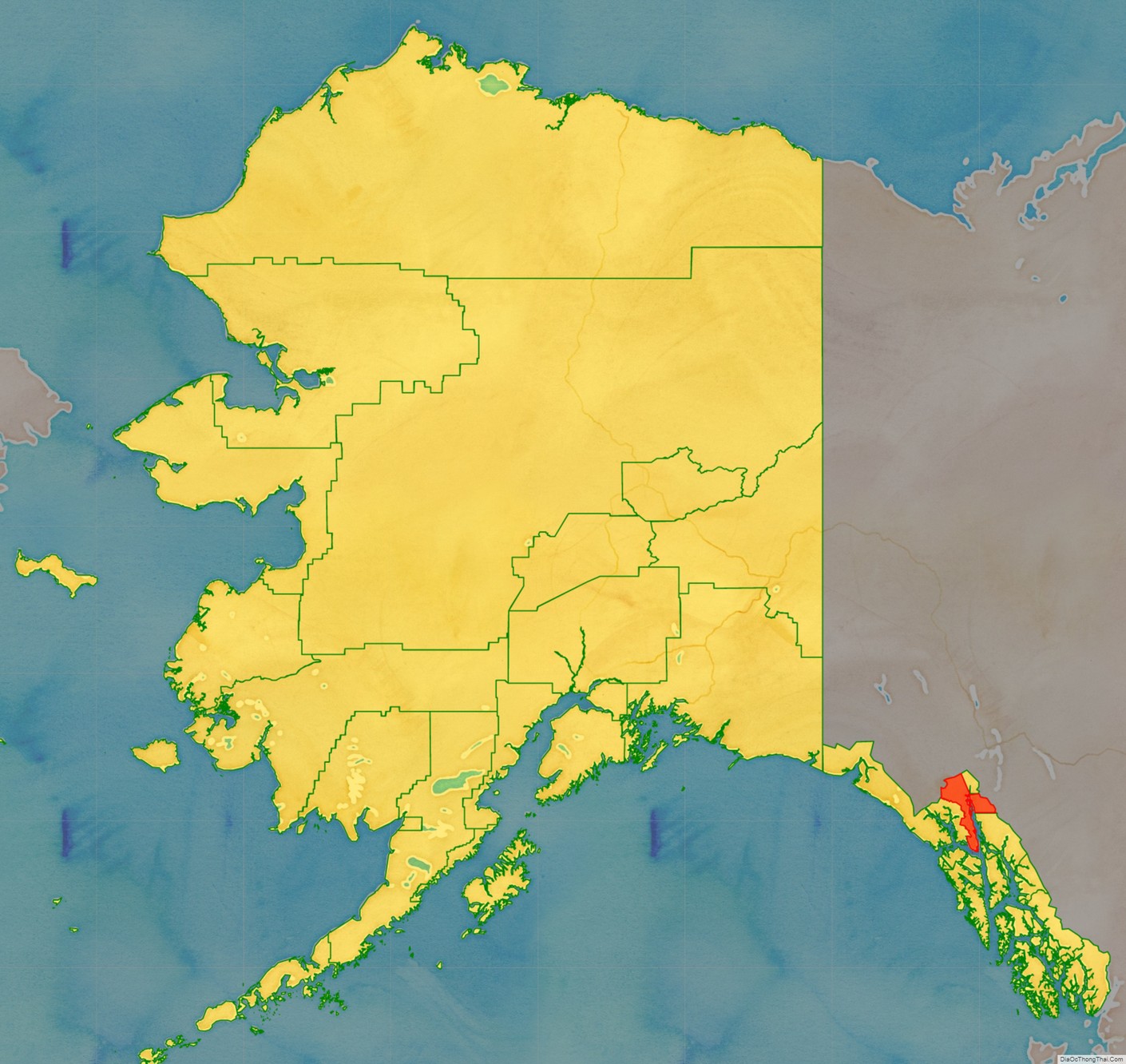
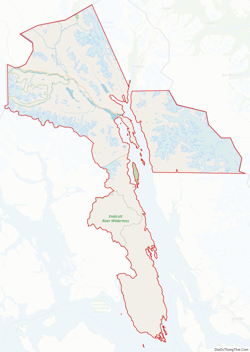
Haines Borough location map. Where is Haines Borough?
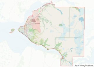
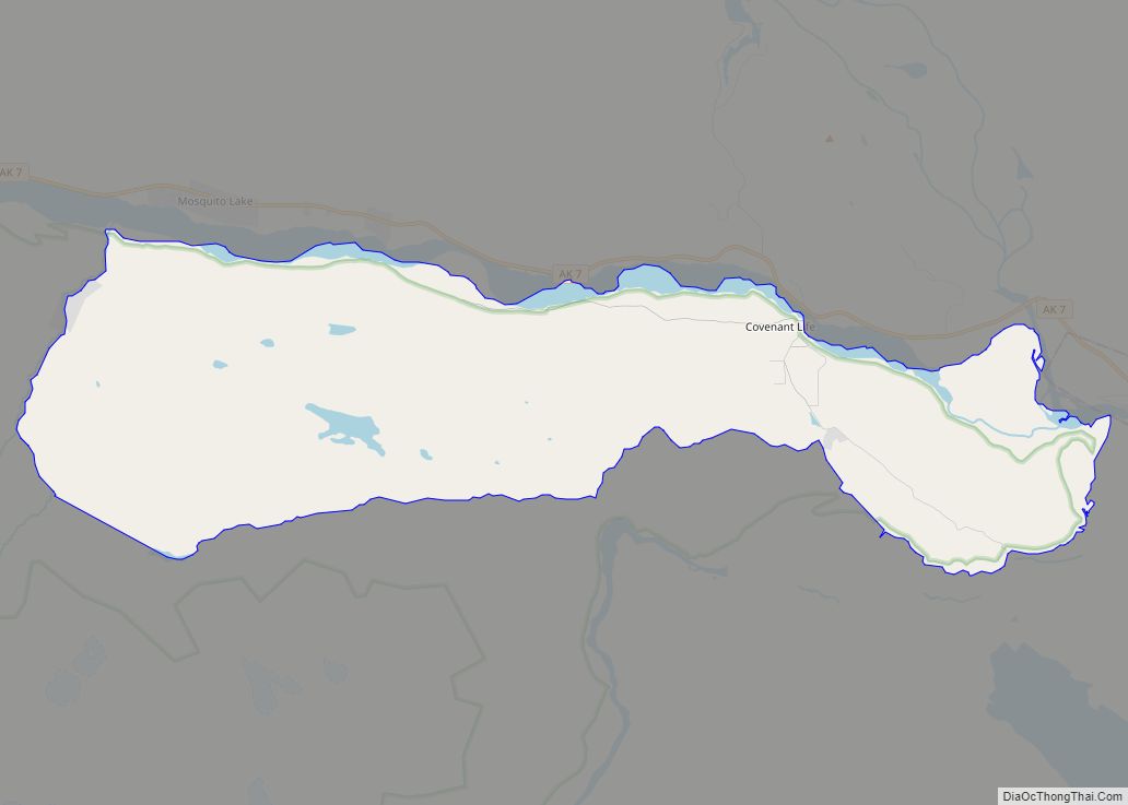
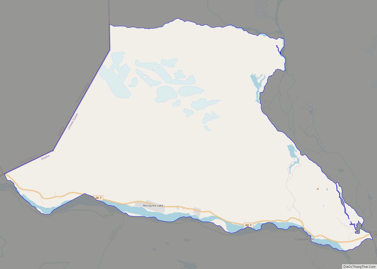
Haines Borough Road Map
Geography
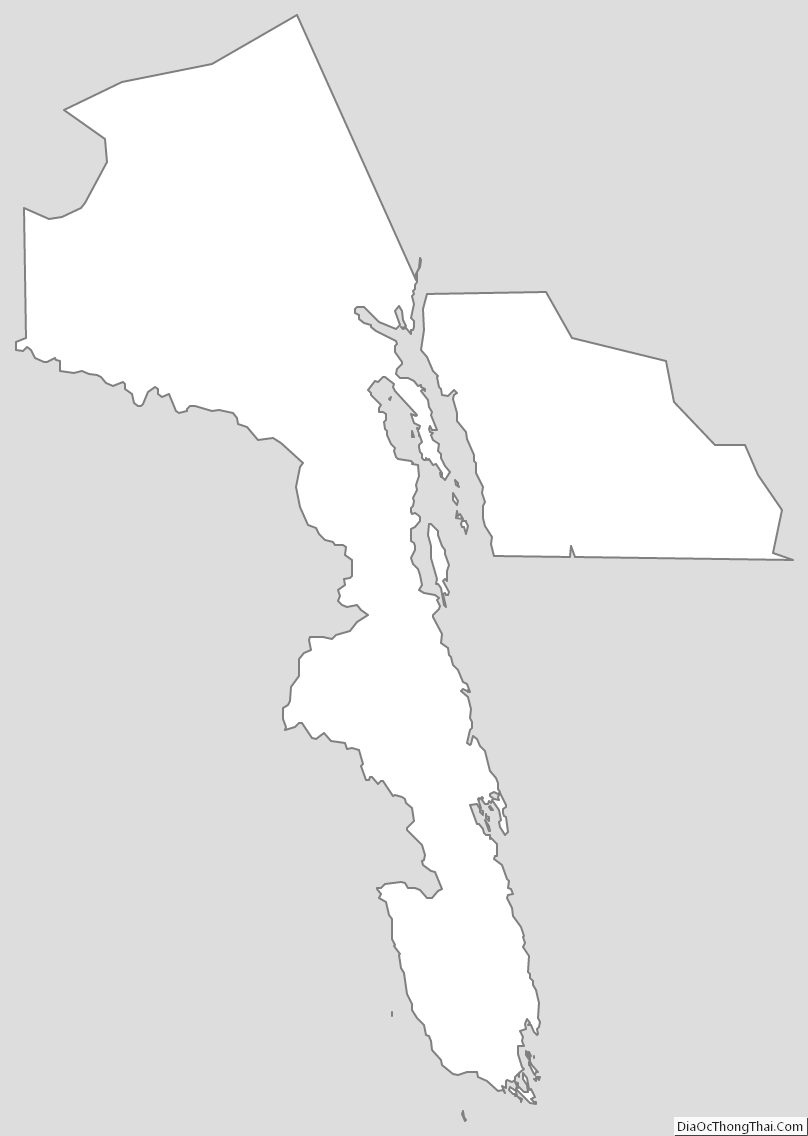
The borough has a total area of 2,726 square miles (7,060 km), of which 2,319 square miles (6,010 km) is land and 407 square miles (1,050 km) (14.9%) is water.
Adjacent boroughs and census areas
- Municipality of Skagway Borough, Alaska – northeast
- Juneau City and Borough, Alaska – southeast
- Hoonah-Angoon Census Area, Alaska – south, west
- Stikine Region, British Columbia – northwest, east
National protected area
- Tongass National Forest (part)
- Endicott River Wilderness
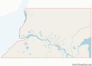
Haines Borough Topographic Map
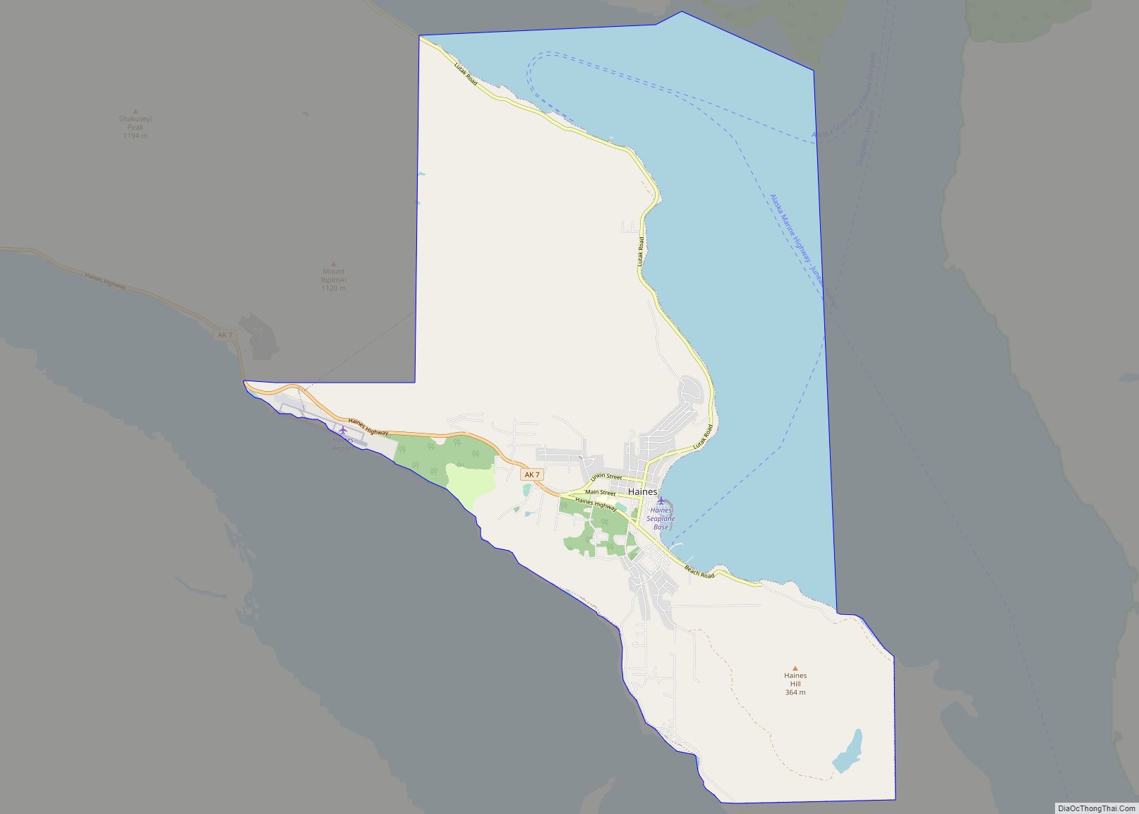
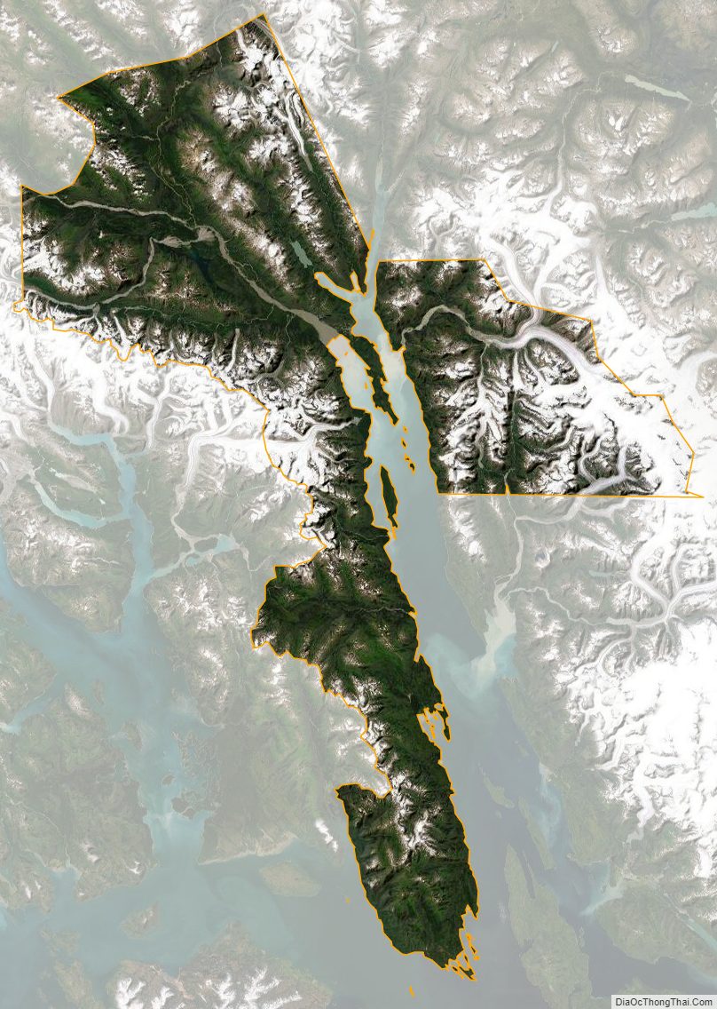
Haines Borough Satellite Map
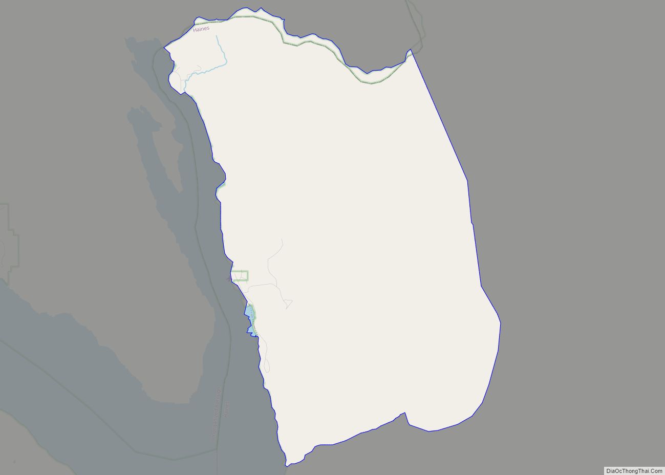
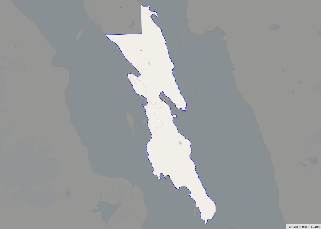
Haines Borough Outline Map