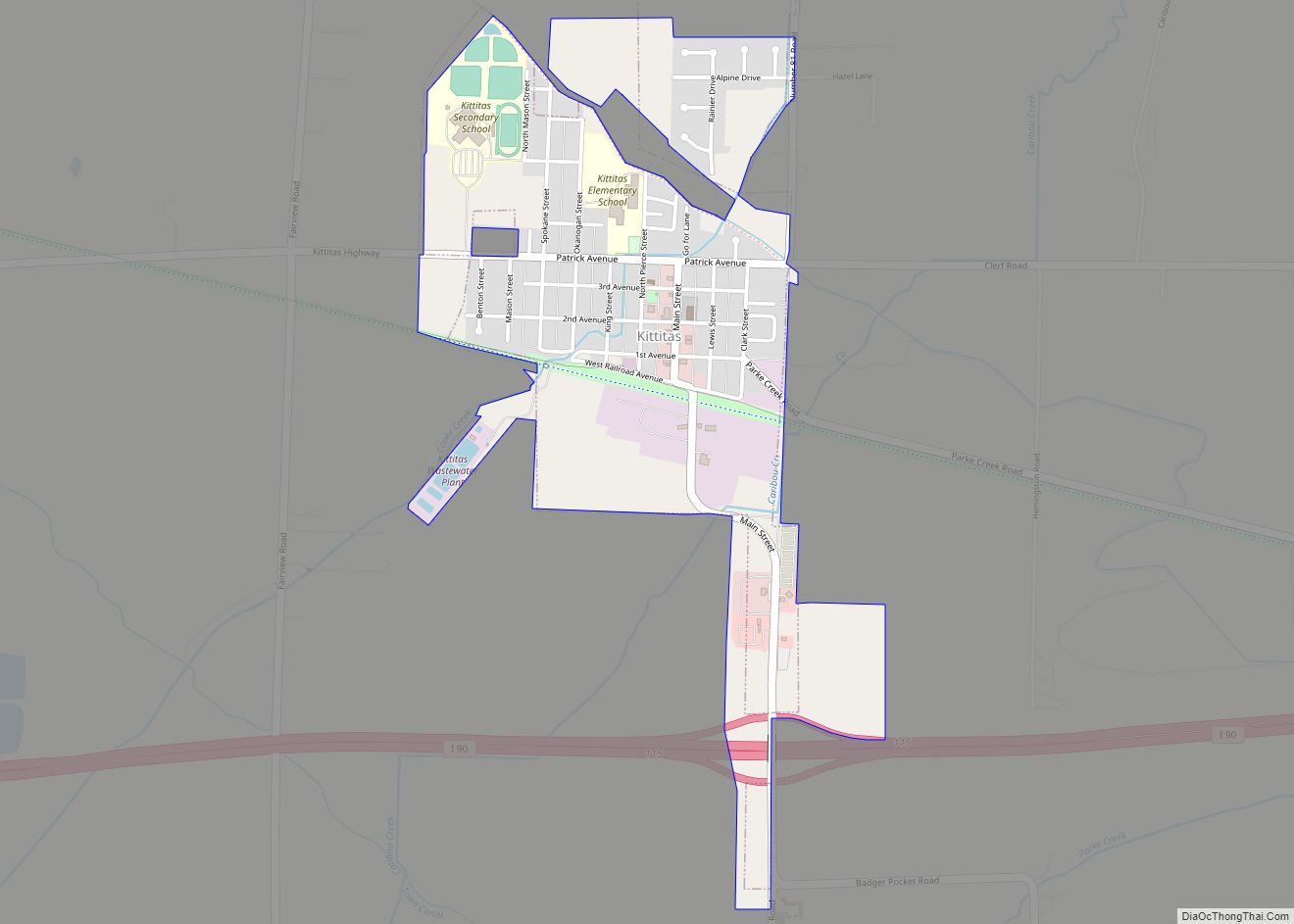
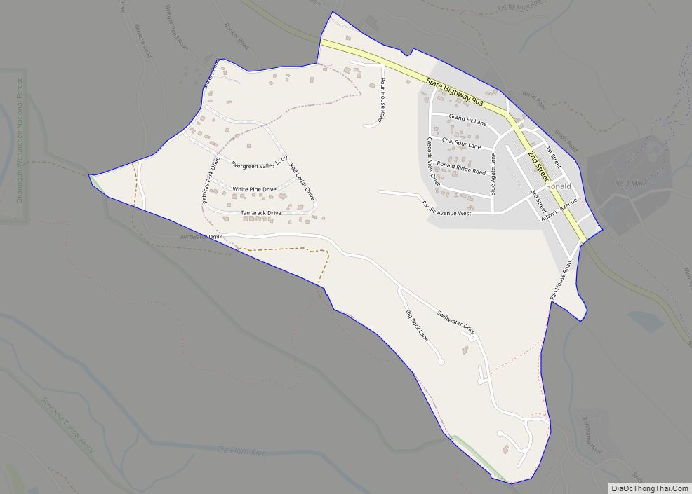
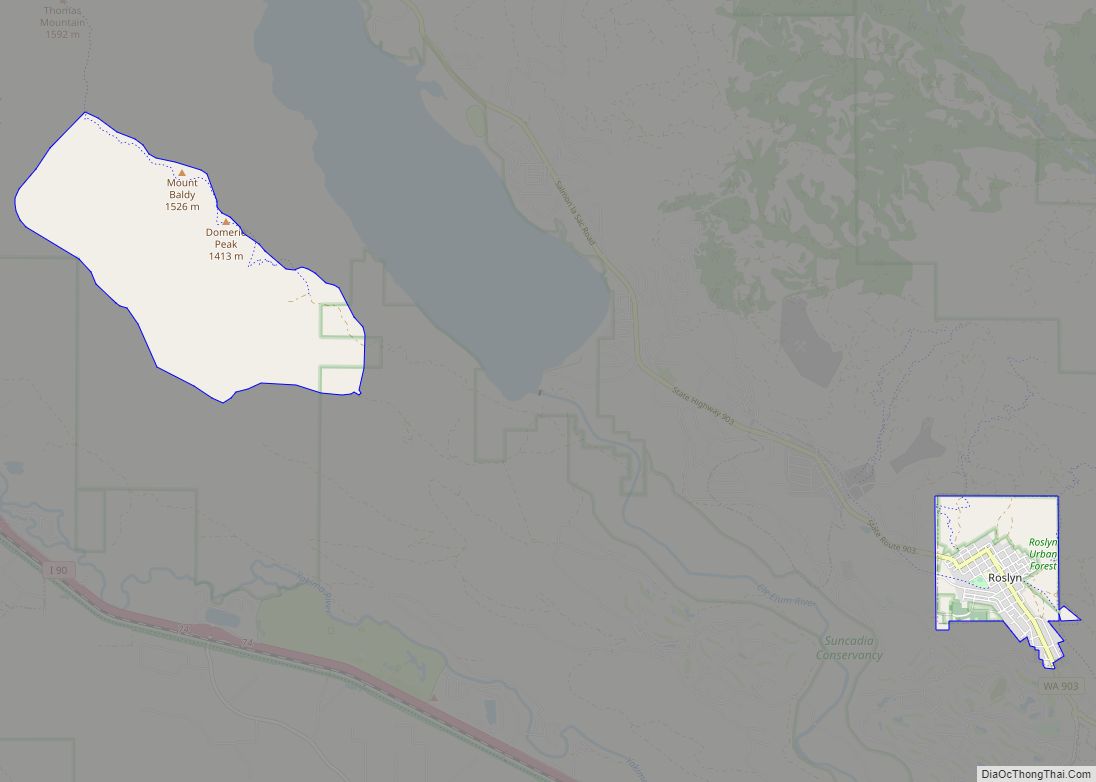
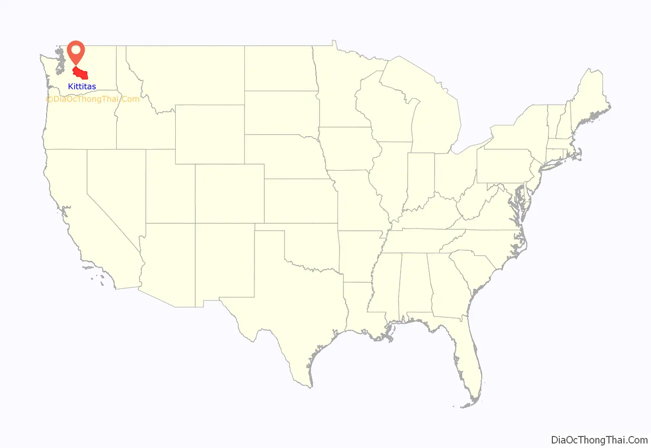
Kittitas County (/ˈkɪtɪtæs/) is a county located in the U.S. state of Washington. At the 2020 census, its population was 44,337. Its county seat and largest city is Ellensburg. The county was created in November 1883 when it was carved out of Yakima County. Kittitas County comprises the Ellensburg, Washington, Micropolitan Statistical Area.
There are numerous interpretations of the county’s name, which is from the language of the Yakama Nation. According to one source, it “has been said to mean everything from ‘white chalk’ to ‘shale rock’ to ‘shoal people’ to ‘land of plenty'”. Most anthropologists and historians concede that each interpretation has some validity depending upon the particular dialect spoken.
| Name: | Kittitas County |
|---|---|
| FIPS code: | 53-037 |
| State: | Washington |
| Founded: | November 24, 1883 |
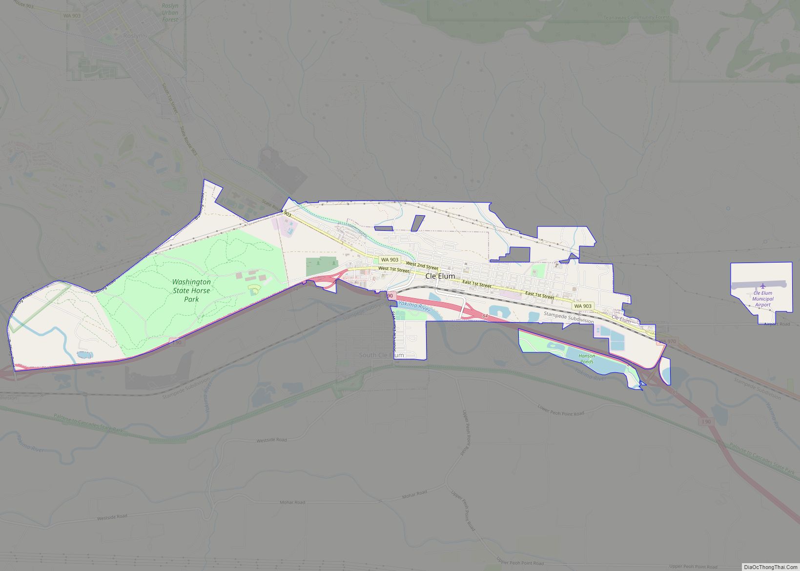
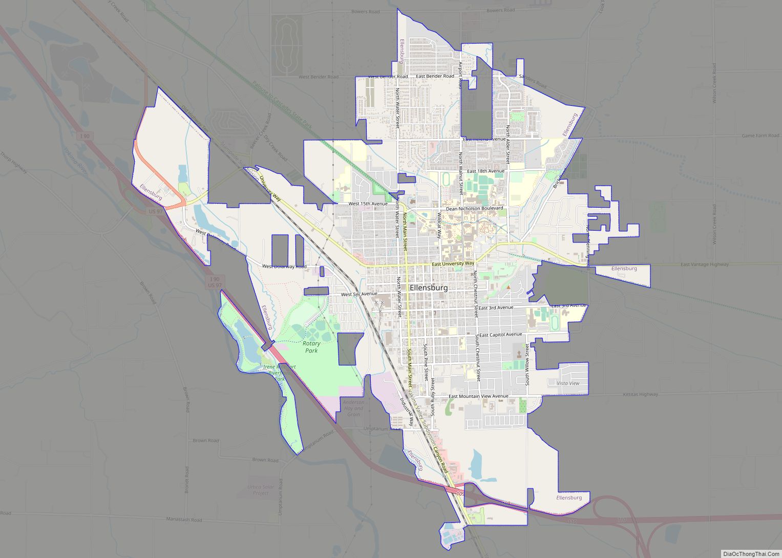
| Seat: | Ellensburg |
| Largest city: | Ellensburg |
| Total Area: | 2,333 sq mi (6,040 km²) |
| Land Area: | 2,297 sq mi (5,950 km²) |
| Total Population: | 44,337 |
| Population Density: | 20/sq mi (8/km²) |
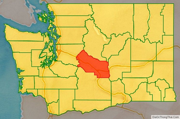
Kittitas County location map. Where is Kittitas County?
History
The county was organized in November 1883 by the Washington Territorial Legislature, carved from the northern part of Yakima County.
Indigenous peoples known as Kittitas (or Upper Yakima) occupied the lands along the Yakima River for hundreds of years before the present era. The Kittitas Valley was a traditional gathering place for tribes east of the Cascades.
White settlers began pouring into the Kittitas Valley in the late 1850s. Their arrival forced dislocation and displacement of the native inhabitants, who were eventually forced into the Yakama Indian Reservation. White settlers introduced livestock raising, crop farming, dairying, logging, lumber processing, and mining. The abundant grassland and the generally-favorable terrain made beef and cattle production become the county’s mainstay. That was assisted by the introduction of railways into the area and the large-scale irrigation systems introduced in the 1930s.
Wheat planting in Kittitas Valley began in 1868. The county’s first flour mill was established near Ellensburg in 1873. Production of alfalfa was also seen from the county’s early days.
Lumber extraction was an important county activity from its early days, mostly in the west end. Logging camps were established near the county’s three largest lakes (Cle Elum, Kachess, Keechelus).
Mining for coal and minerals was established by the mid-1880s.
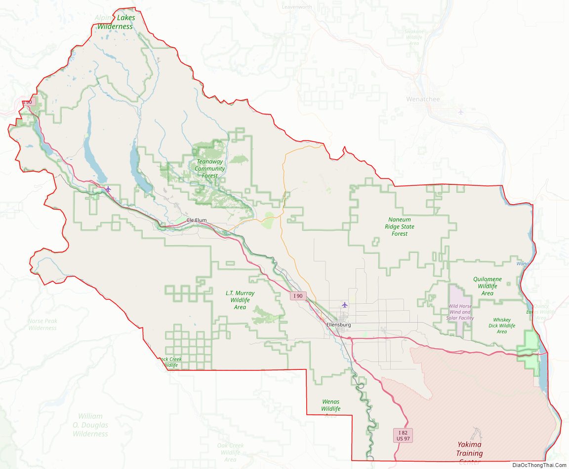
Kittitas County Road Map
Geography
According to the United States Census Bureau, the county has a total area of 2,333 square miles (6,040 km), of which 2,297 square miles (5,950 km) is land and 36 square miles (93 km) (1.5%) is water. The highest point in the county is Mount Daniel at 7,959 feet (2,426 m) above mean sea level.
Geographic features
- Cascade Mountains
- Yakima River
- Manastash Ridge
- Wenatchee Mountains
Major highways
- Interstate 90
- Interstate 82
- U.S. Route 97
Adjacent counties
- Chelan County – north
- Douglas County – northeast
- Grant County – east
- Yakima County – south
- Pierce County – west
- King County – northwest
National protected areas
- Snoqualmie National Forest (part)
- Wenatchee National Forest (part)
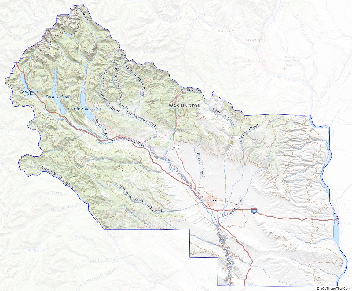
Kittitas County Topographic Map
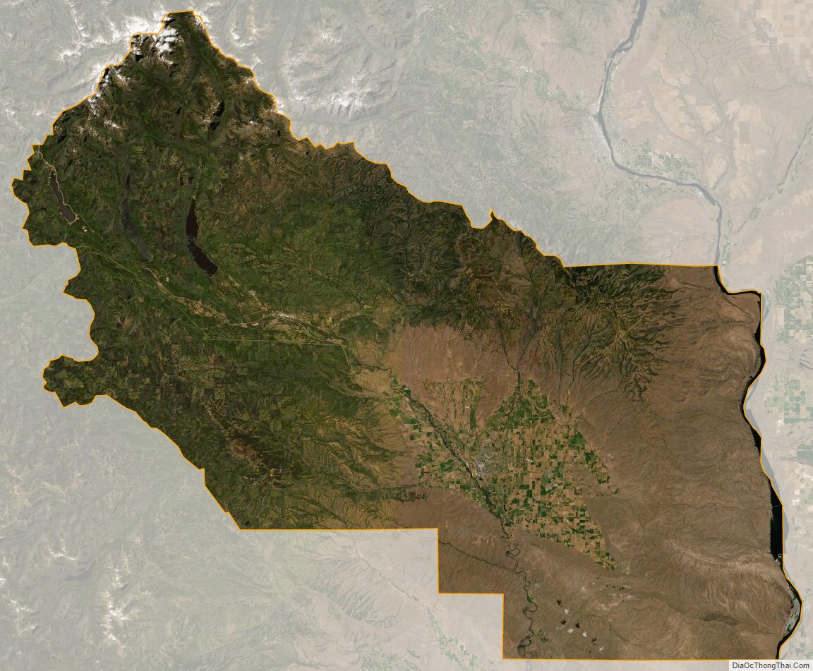
Kittitas County Satellite Map
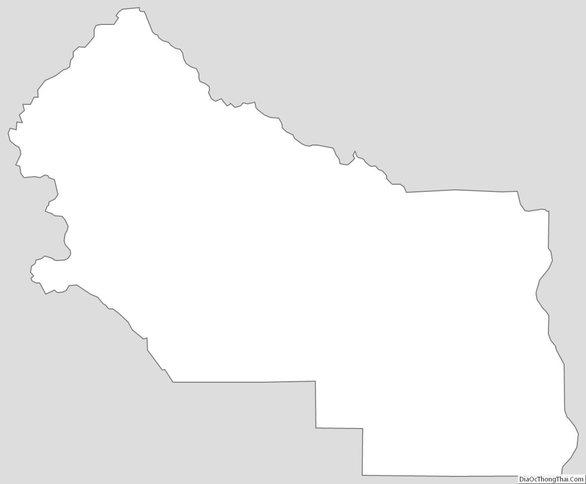
Kittitas County Outline Map