Map of Kon Tum province

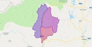
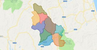
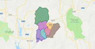
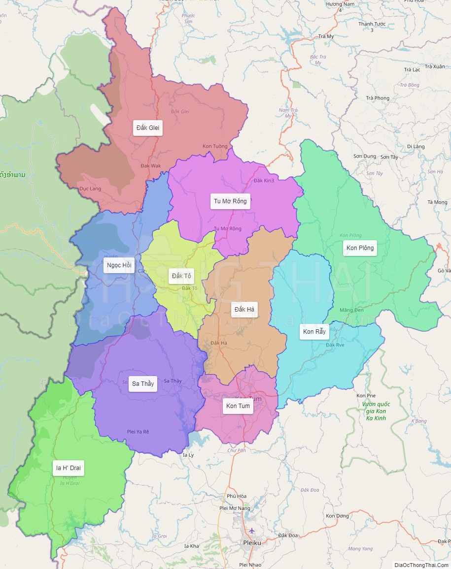
Kon Tum province lies in the Central Highlands region of Vietnam and shares borders with Laos and Cambodia. It has an area of 9,934 square km and a population of approximately 330,000. The economy is primarily agricultural.

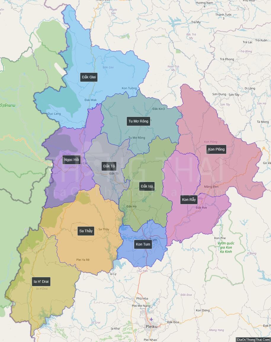
Political Map of Kon Tum province

Interactive online map of Kon Tum

Click on View map in full screen to view map in “full screen” mode.

Source: Database of Global Administrative Areas, Global Map of Vietnam ©ISCGM, Ministry of Nutural Resources and Environment -Vietnam.
Base Map Layer: Open Street Map (OSM), Arcgisonline, Google Map, Wmflabs.
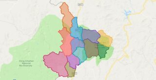
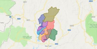
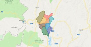
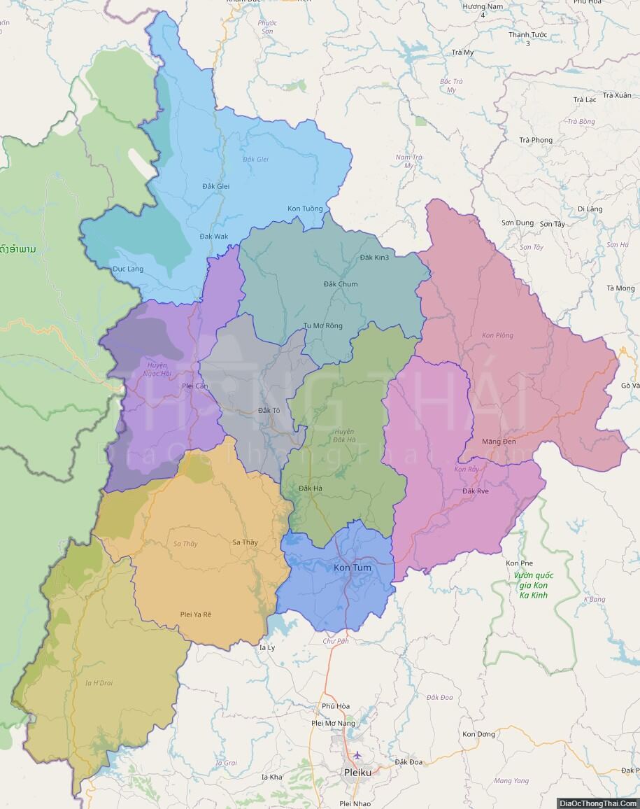
Large scale maps of Kon Tum

High-resolution political map of Kon Tum
High-resolution political map of Kon Tum. ©DiaOcThongThai. Click on picture to zoom in.

Kon Tum location map

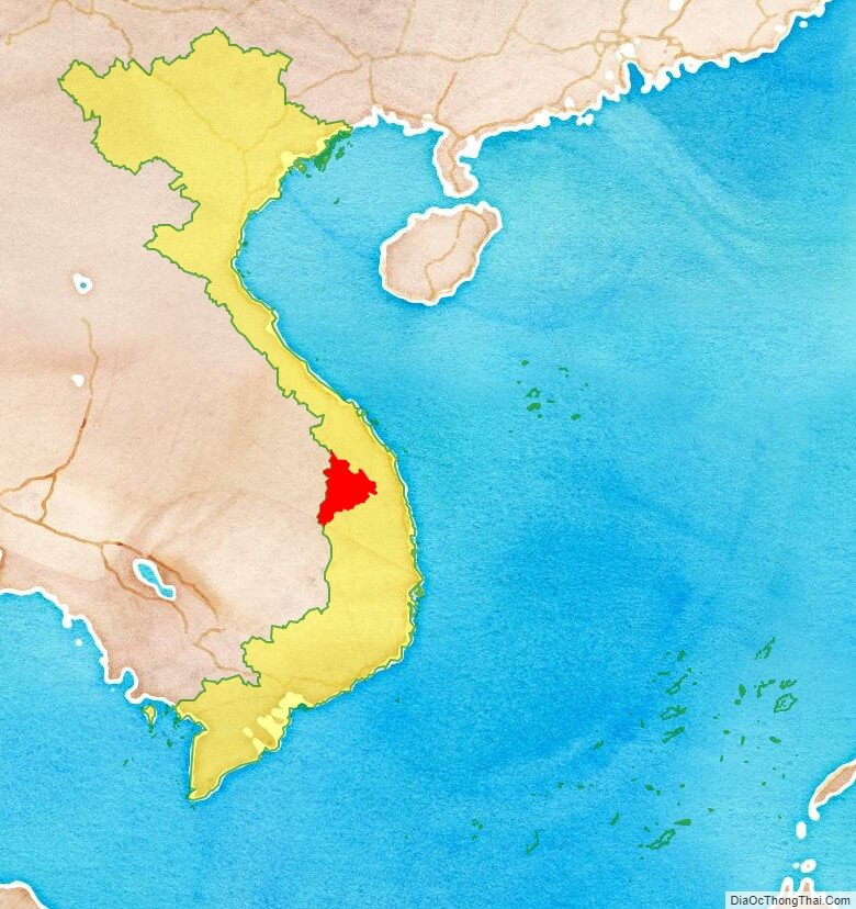
Kon Tum province location map
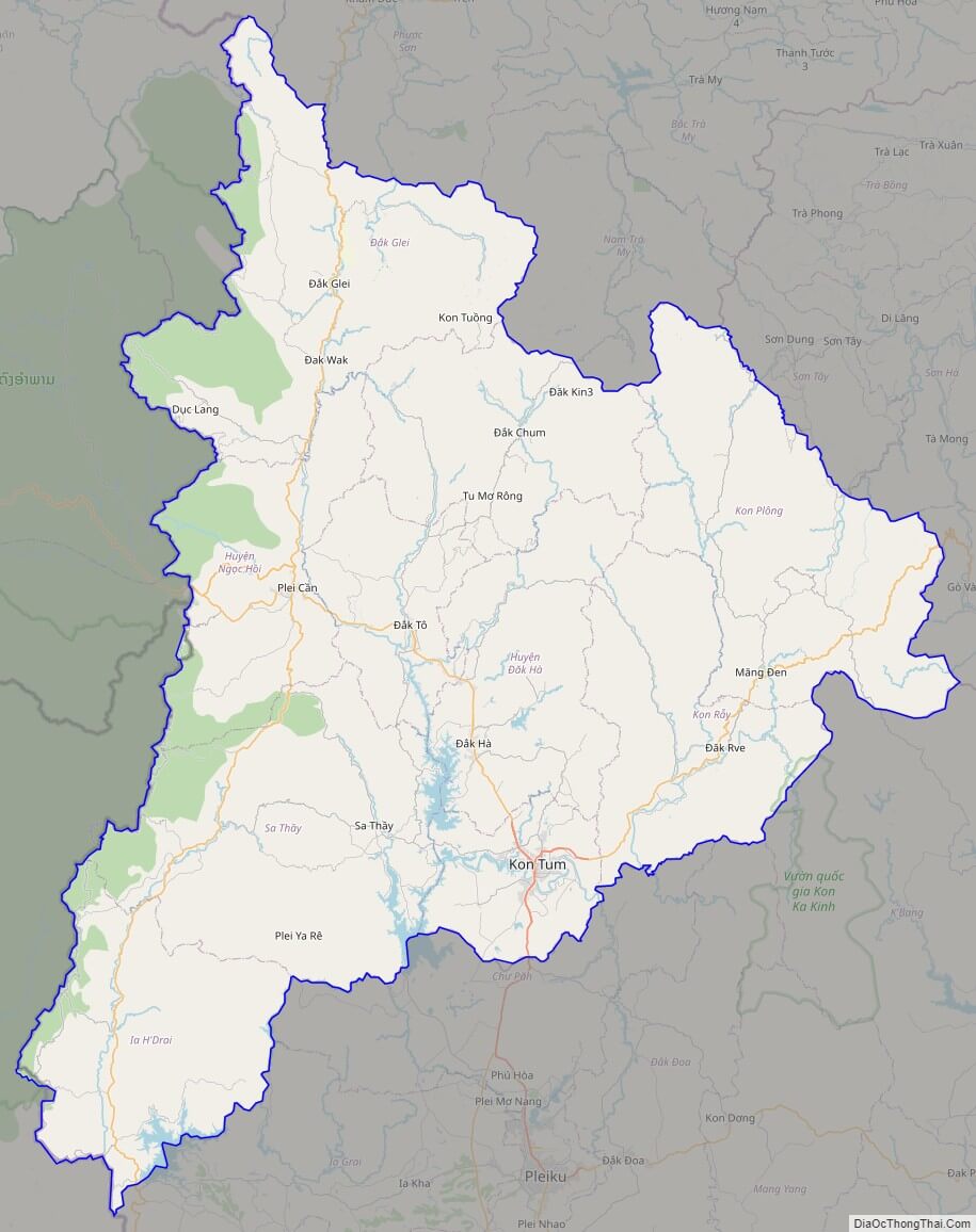
Kon Tum street map

Kon Tum street map
Street Map of Kon Tum province, Vietnam

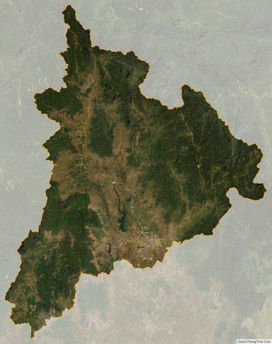
Kon Tum satellite map

Kon Tum province satellite map
Satellite map of Kon Tum province, Vietnam

See also

See also map of Kon Tum province and district-level sub-divisions: Map of Vietnam provinces:
5/5 - (4 votes)