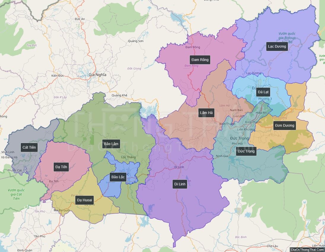
Lam Dong is a province located in the Central Highlands (Tay Nguyen) region of Vietnam. Its capital is Da Lat. Lam Dong borders Khanh Hoa Province and Ninh Thuan Province to the east, Dong Nai Province to the southwest, Binh Thuan Province to the southeast, Dak Lak Province to the north, and Dak Nong Province to the northwest. It is the only Central Highlands province which does not share its western border with Cambodia.
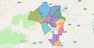
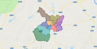
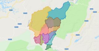
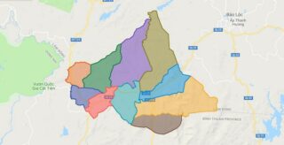
Political Map of Lam Dong province
Click on ![]() to view map in "full screen" mode.
to view map in "full screen" mode.
Base Map Layer: Open Street Map (OSM), Arcgisonline, Google Map, Wmflabs.
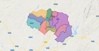
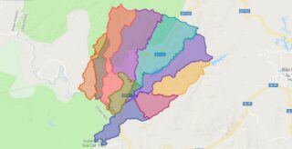
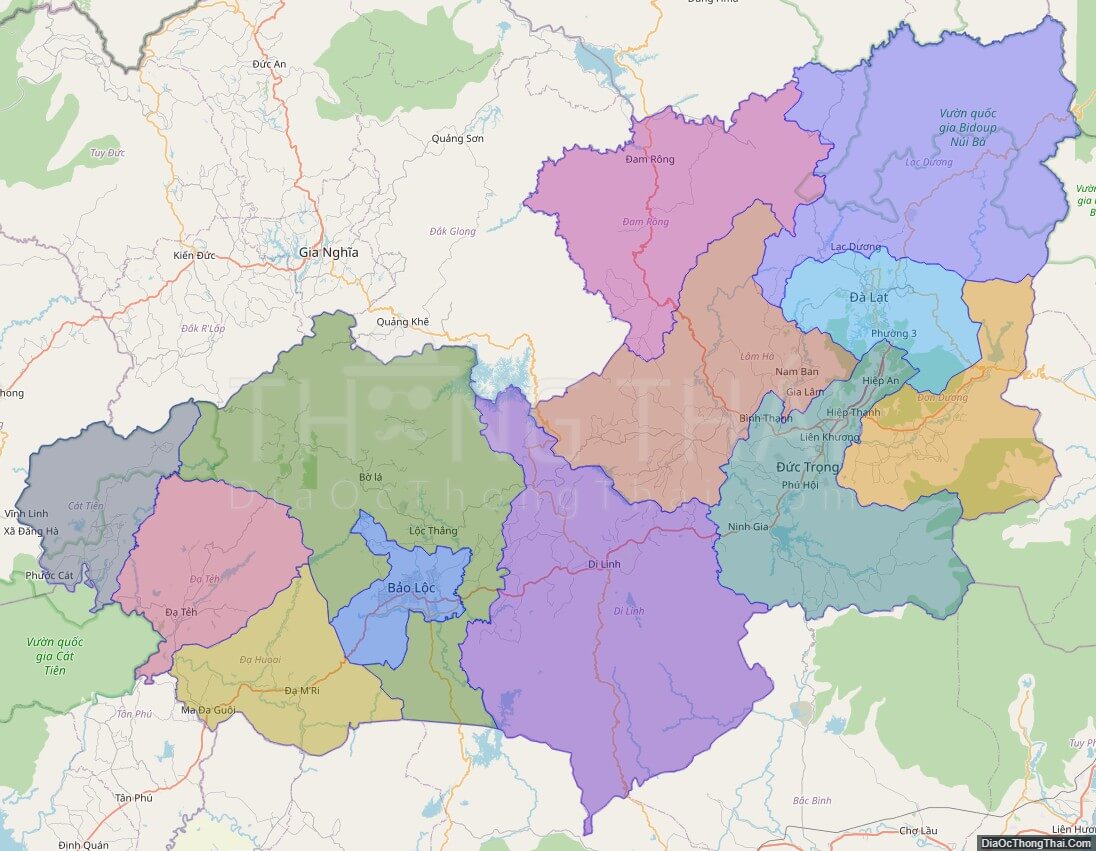
Large scale maps of Lam Dong province
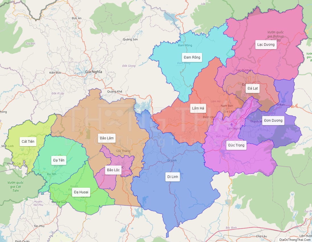
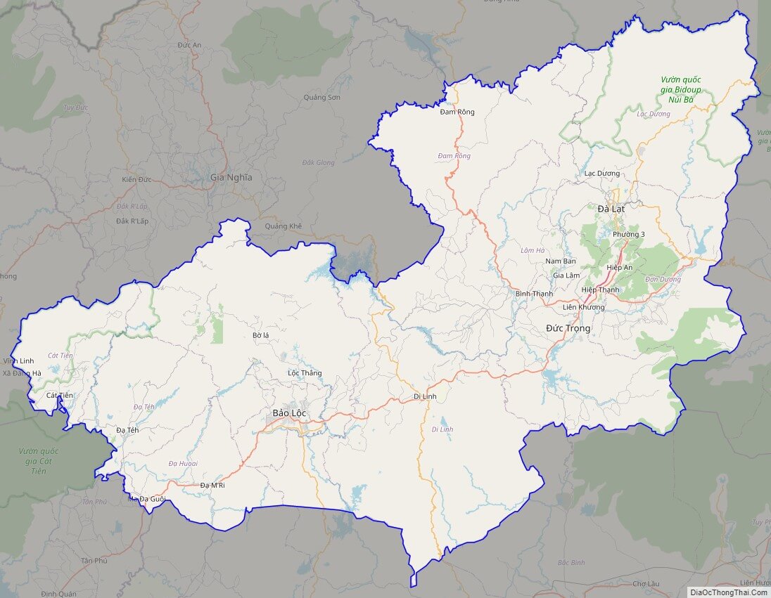
Lam Dong province location map

Lam Dong street map
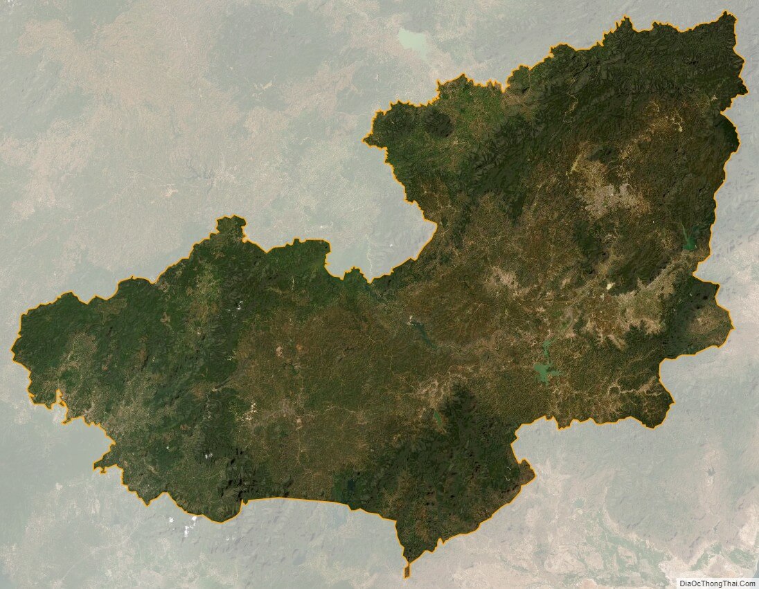
Lam Dong satellite map