Map of Long An province

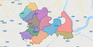
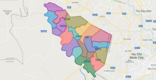
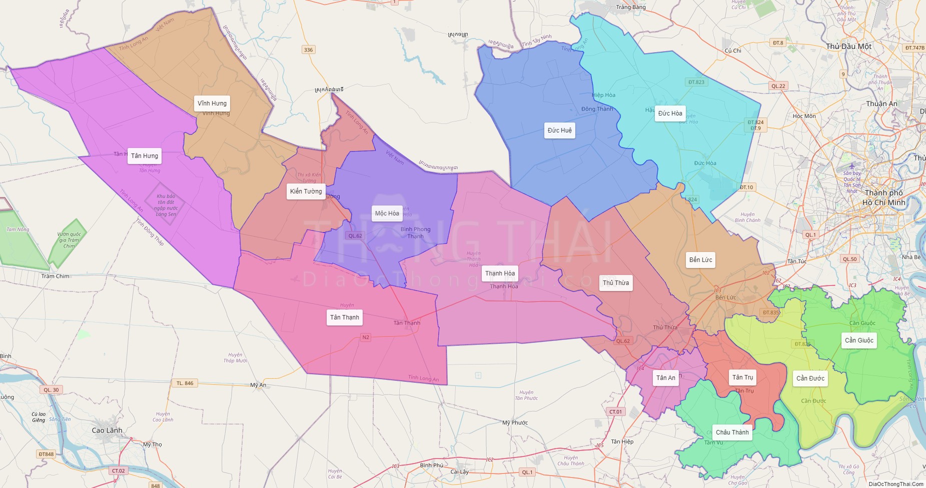
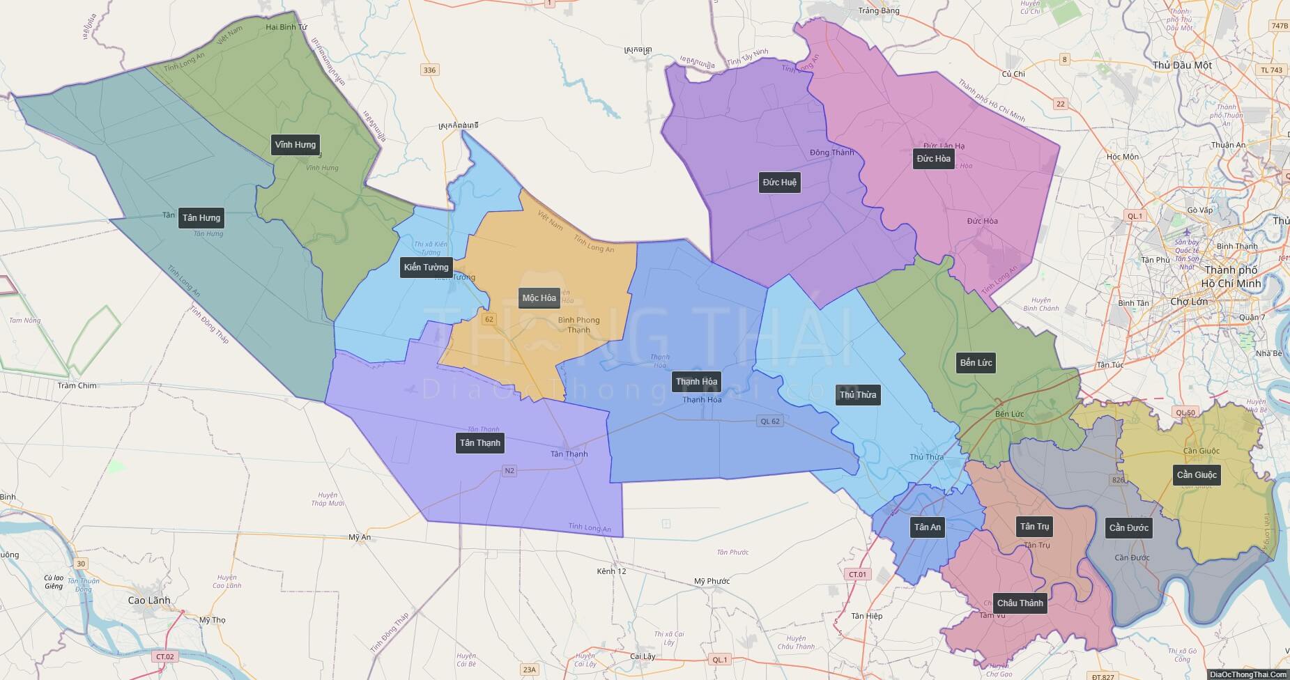
Long An is a province in the Mekong Delta region of southern Vietnam. The provincial capital is Tan An, other major cities include Ben Luc, Duc Hoa, Thanh Hoa, and Moc Hoa District. There are 13 districts within the province.

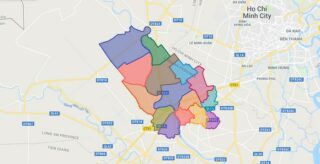
Political Map of Long An province

Interactive online map of Long An

Click on View map in full screen to view map in “full screen” mode.

Source: Database of Global Administrative Areas, Global Map of Vietnam ©ISCGM, Ministry of Nutural Resources and Environment -Vietnam.
Base Map Layer: Open Street Map (OSM), Arcgisonline, Google Map, Wmflabs.
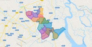
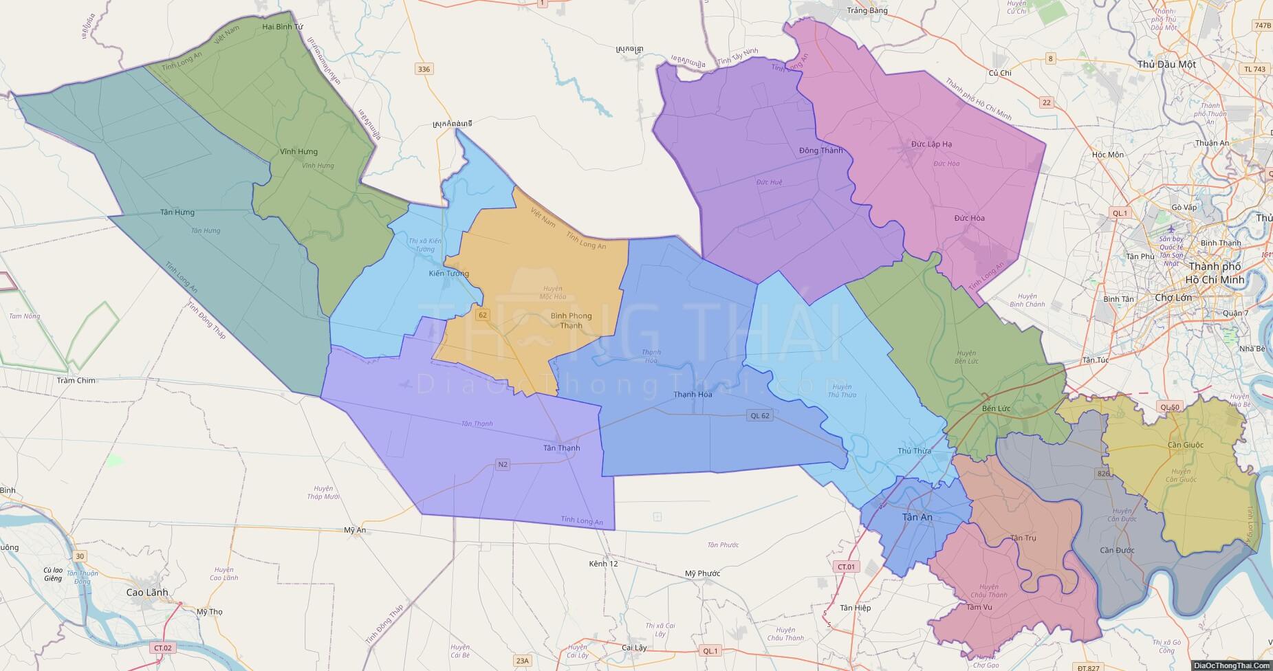
Large scale maps of Long An

High-resolution political map of Long An
High-resolution political map of Long An. ©DiaOcThongThai. Click on picture to zoom in.

Long An location map

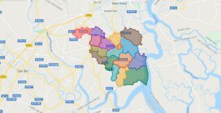
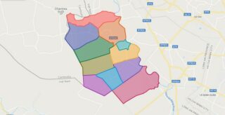
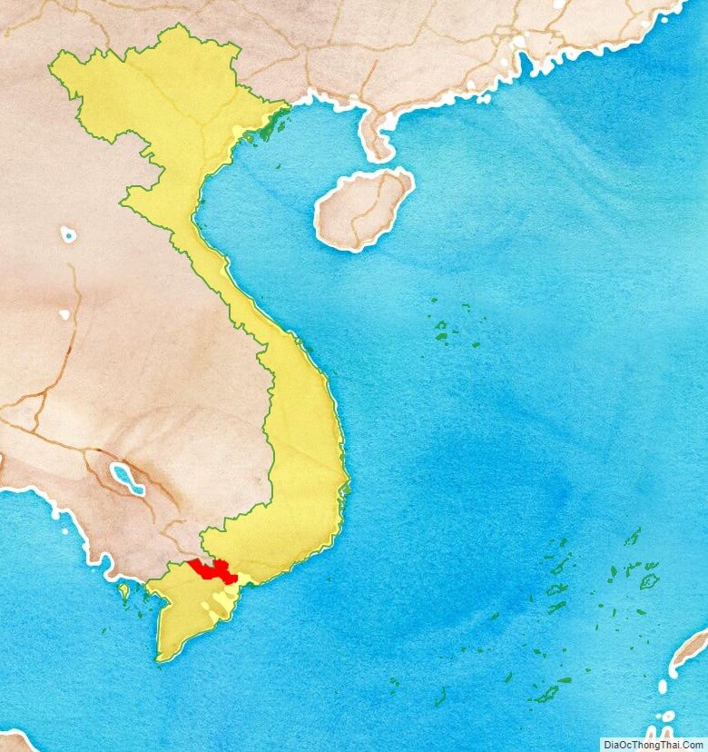
Long An province location map

Long An street map

Long An street map
Street Map of Long An province, Vietnam

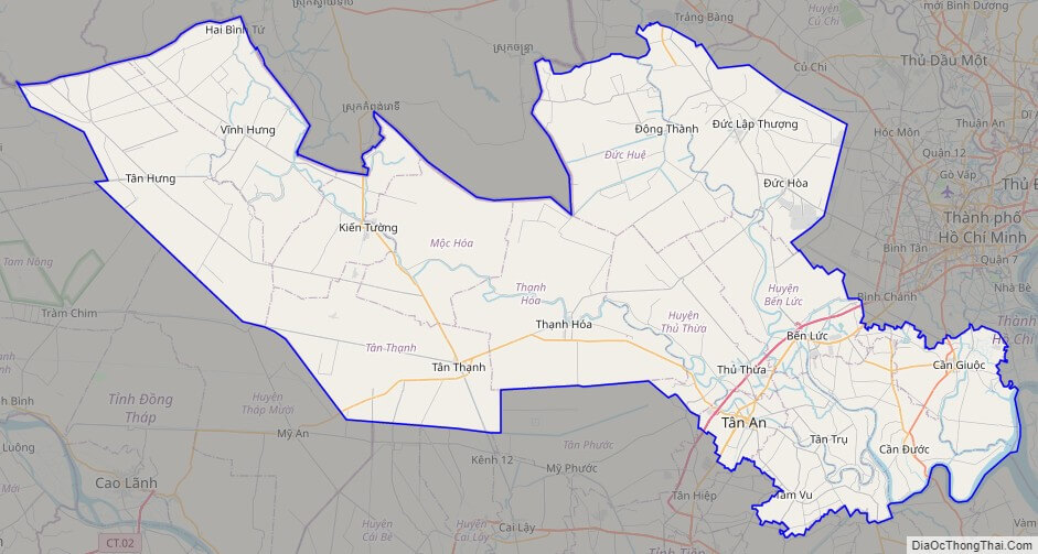
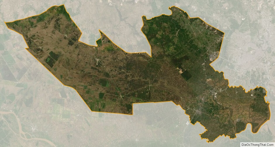
Long An satellite map

Long An province satellite map
Satellite map of Long An province, Vietnam

See also

See also map of Long An province and district-level sub-divisions: Map of Vietnam provinces:
5/5 - (3 votes)