Phu Tho is a province in northern Vietnam. Its capital is Viet Tri, which is 80 km from Hanoi and 50 km from Noi Bai International Airport. The province covers an area of 3528.1 square kilometres and, as of 2008, it had a population of 1,364,700.
The history of Phu Tho is linked to the 18 dynasties of Hung kings who were credited with building the nation of Van Lang. Because of its strategic location, the province is known as the “West Gate of Hanoi”. It is located at the confluence of two large rivers: the Red River and the Da River, and in a transitional area between the Red River Delta the country’s northern mountainous provinces. The Xuan Son National Park, established in February 2002, is located in the province about 80 km from Viet Tri. The park covers an area of 15048 ha, with over 11000 ha of natural forest and 1396 ha of limestone-mountain forests. Phu Tho is one of the poorest areas of Vietnam and the poorest households earn below US$6 per person per month. Tea is important to the economy of the province. The Hung Kings temple complex, located on Nghia Linh mountain in Viet Tri, is a complex of majestic architecture enclosing Ha Temple (built in the 15th century), Thien Quang pagoda, Gieng, Trung and Thuong temples, and King Hung’s tomb.
The history of the area is traced to the early third millennium BC during the Hong Bang period. Hence, the province was part of the first Vietnamese state known as Xich Quy. The Vietnamese rulers of this period are now collectively known as the Hung kings. Later, the capital was moved to Phong Chau, which is taken as evidence of the historicity of the province. There are many festivals in the province linked to this historical lineage. Beginning in the third century BC during the Thuc dynasty, the Hung Temple complex, located on Nghia Linh mountain, was laid ground to dedicate to the Hung kings who are credited with building the nation.
In December 1999, Nguyen Thi Thuy, the leader of an unregistered Protestant house church in the province, was sentenced to one year in prison for “interfering with an officer doing his duty”, which caused some religious controversy in the province.
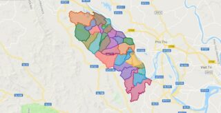
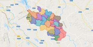
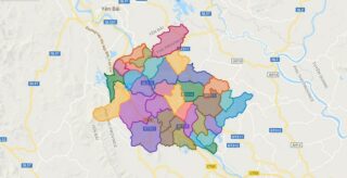
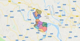
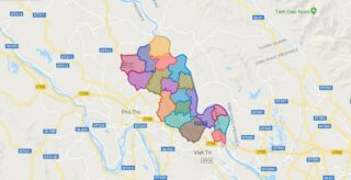
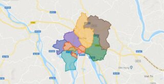
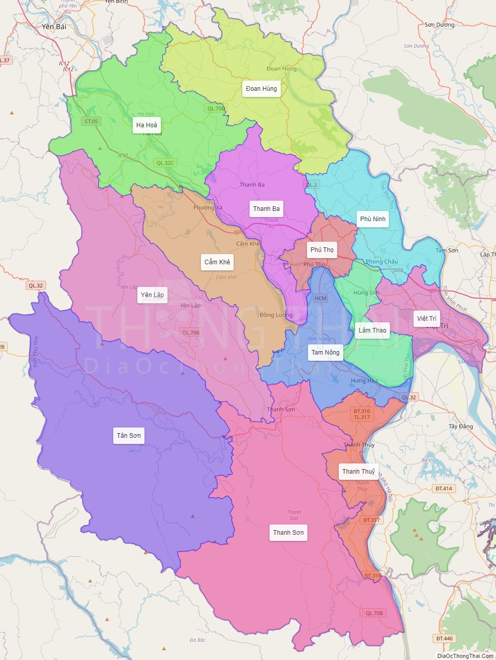
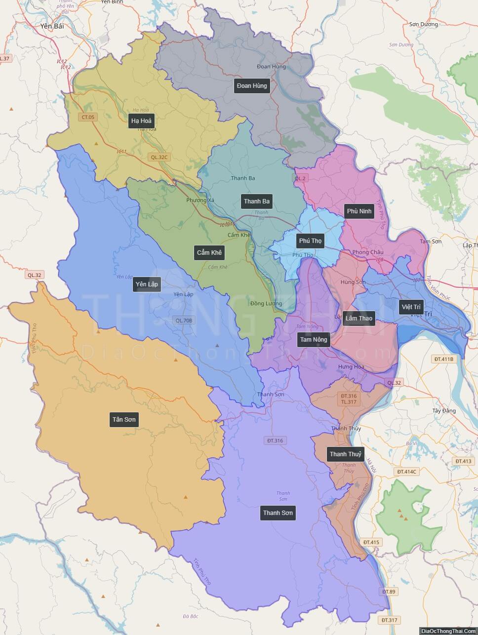
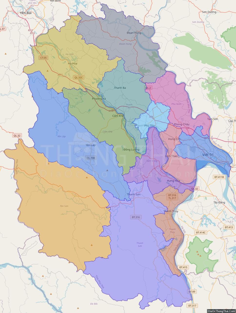
Political Map of Phu Tho province
Click on ![]() to view map in "full screen" mode.
to view map in "full screen" mode.
Base Map Layer: Open Street Map (OSM), Arcgisonline, Google Map, Wmflabs.
Large scale maps of Phu Tho province
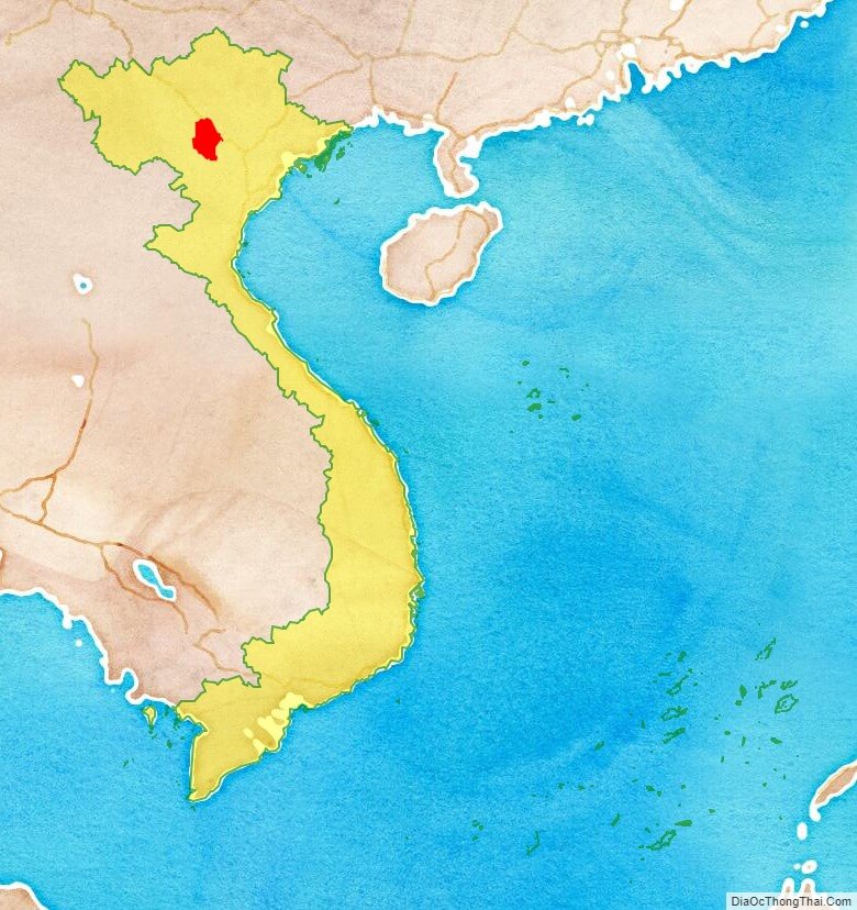
Phu Tho province location map
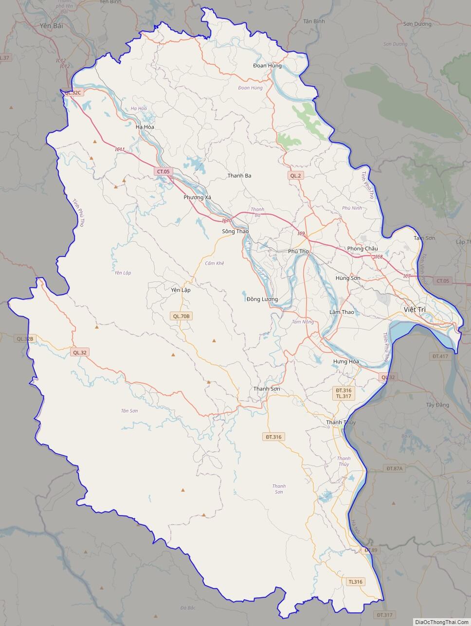
Phu Tho street map
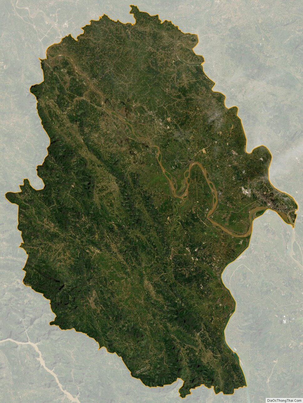
Phu Tho satellite map