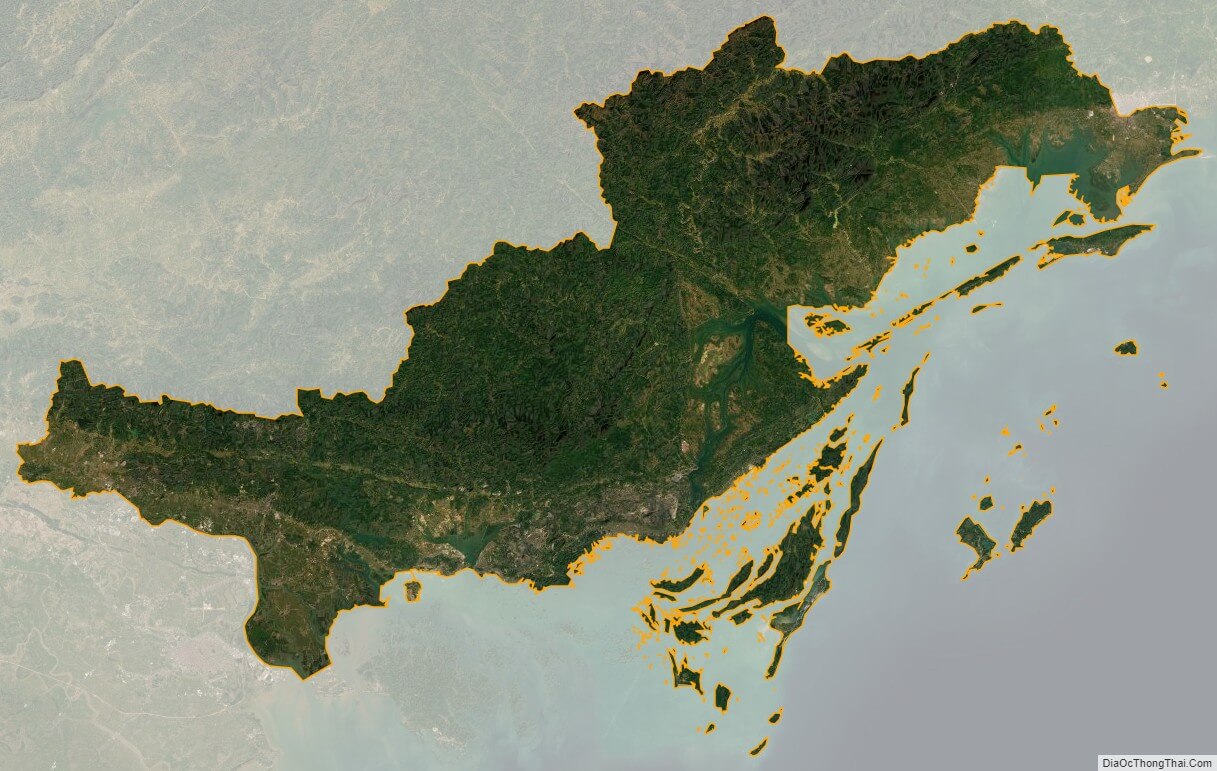
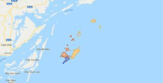
Quang Ninh is a province along the northeastern coast of Vietnam. It is 153 km (95 mi) east of Hanoi. The province is home to Ha Long Bay, a World Heritage Site. The provincial capital is Ha Long. Nearly 80% of the province is mountainous with abundant land, forest water and mineral resources. Nearly 90% of coal output in the country is extracted in this province. Ha Long Bay has 1,969 islands, out of which 989 have been given names. The province covers an area of 6,102.4 square kilometres and as of 2014 it had a population of 1,185,200 people.
The name of Quang Ninh province is the compound name of two provinces: Quang Yen and Hai Ninh according to the naming of President Ho Chi Minh.
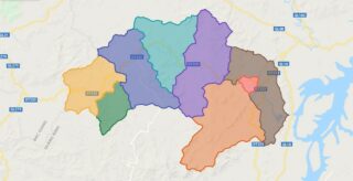
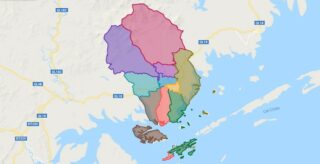
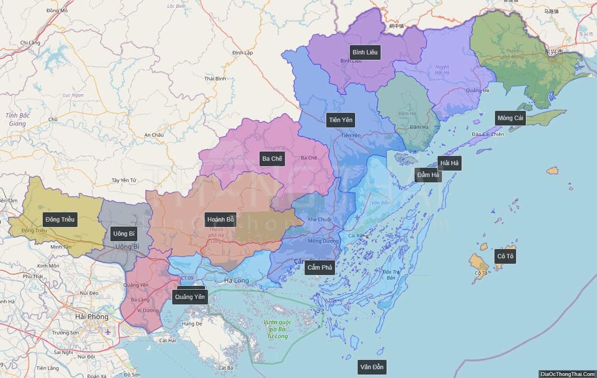
Political Map of Quang Ninh province
Click on ![]() to view map in "full screen" mode.
to view map in "full screen" mode.
Base Map Layer: Open Street Map (OSM), Arcgisonline, Google Map, Wmflabs.
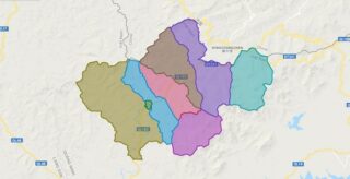
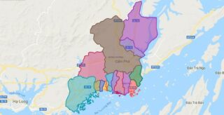
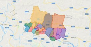
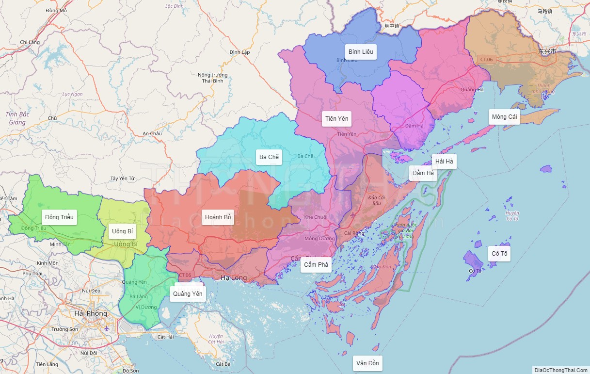
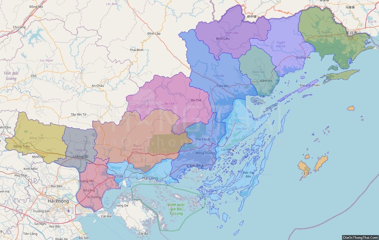
Large scale maps of Quang Ninh province
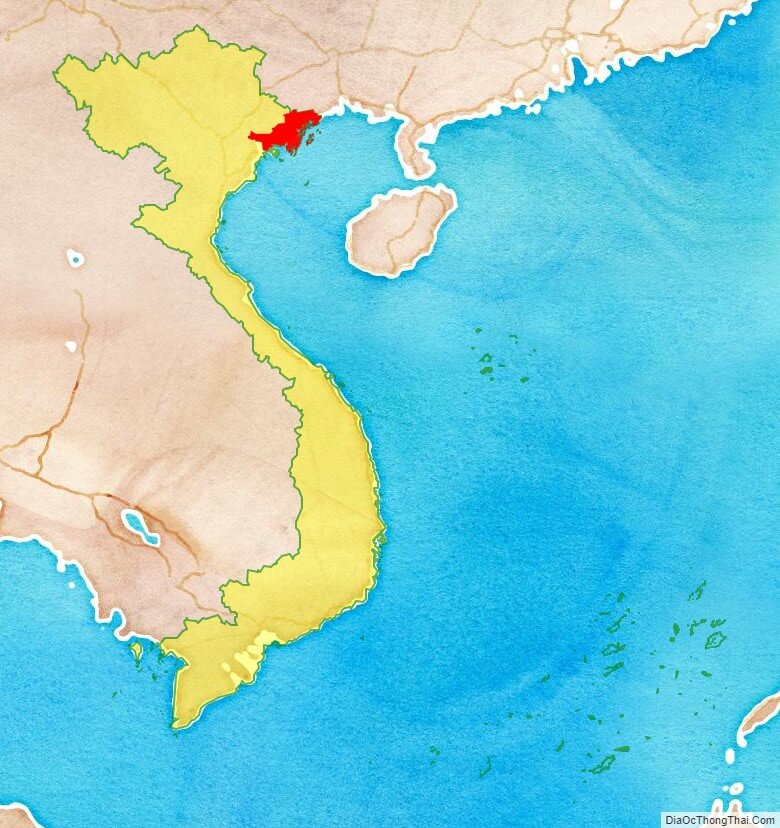
Quang Ninh province location map
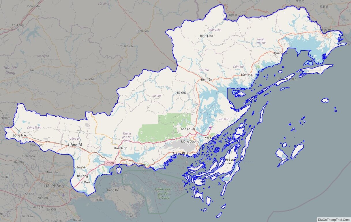
Quang Ninh street map
Quang Ninh satellite map