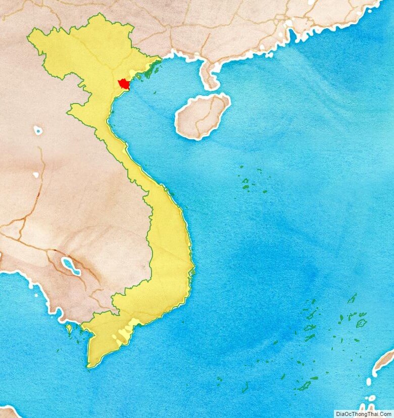
Thai Binh is a coastal eastern province in the Red River Delta region of northern Vietnam, named after the Vietnamese name for the Pacific Ocean: Thai Binh Duong. It is about 18 km from Nam Dinh, 70 km from Haiphong, and 110 km from Hanoi.
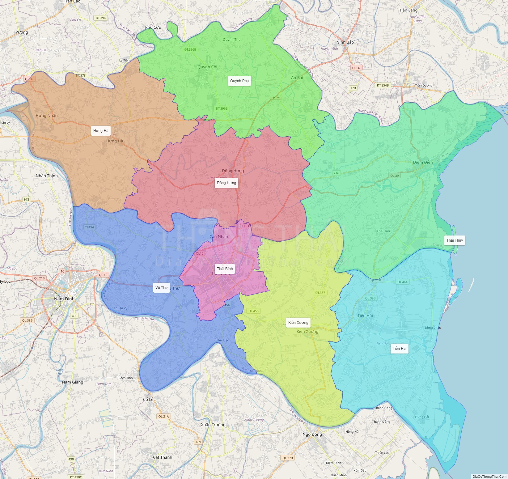
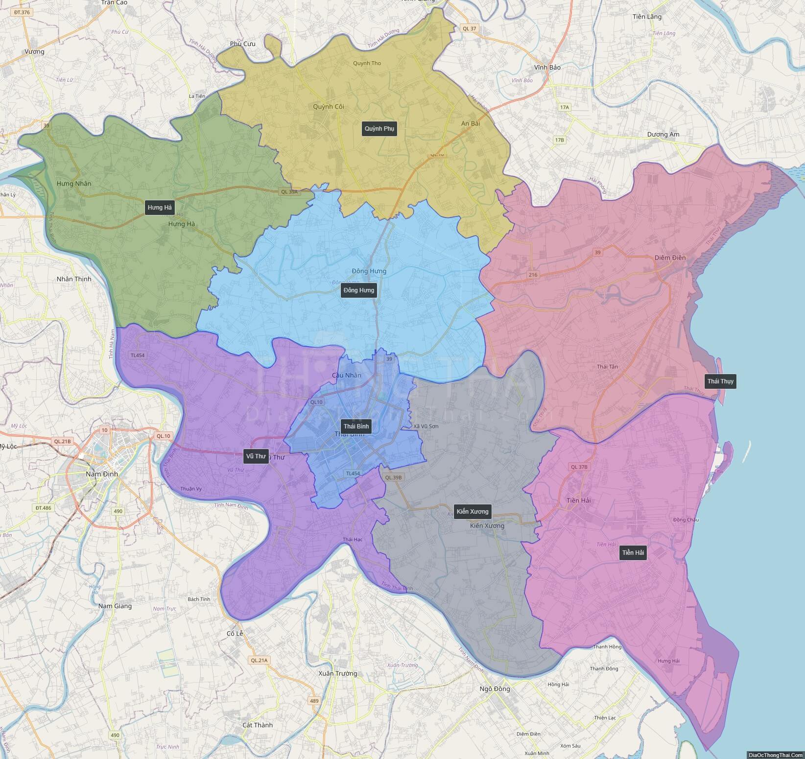
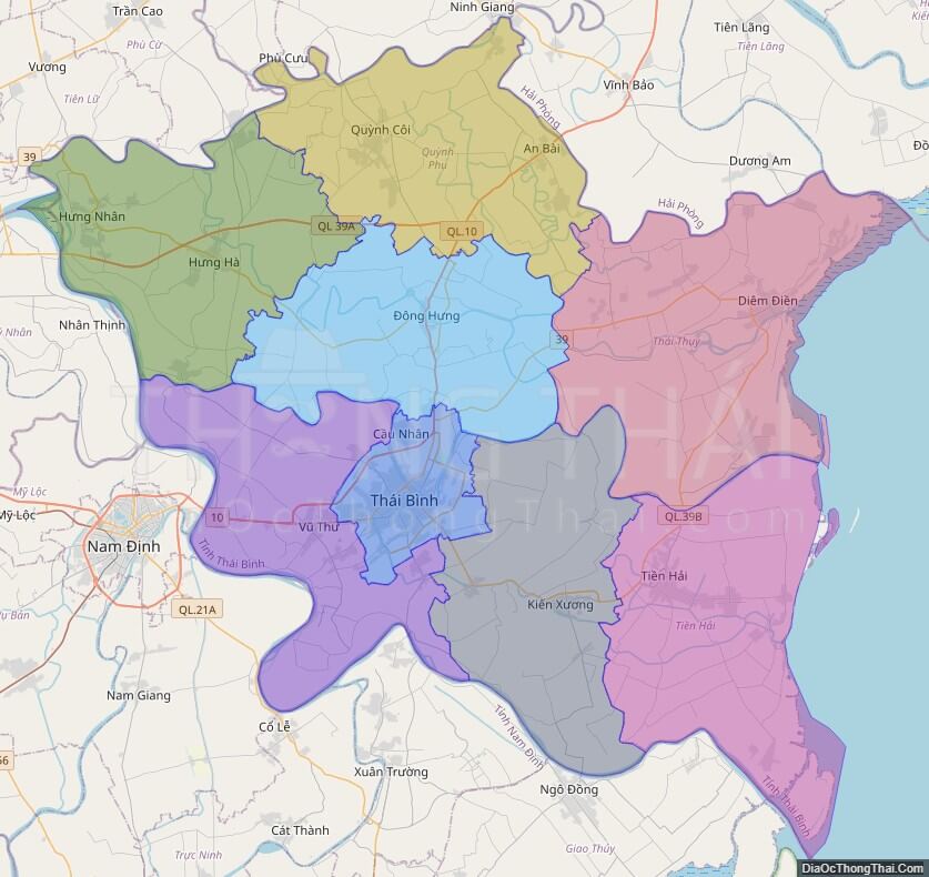
Political Map of Thai Binh province
Click on ![]() to view map in "full screen" mode.
to view map in "full screen" mode.
Base Map Layer: Open Street Map (OSM), Arcgisonline, Google Map, Wmflabs.
Large scale maps of Thai Binh province
Thai Binh province location map
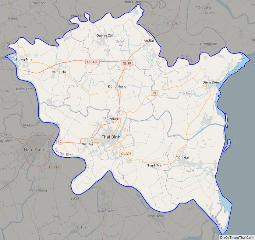
Thai Binh street map
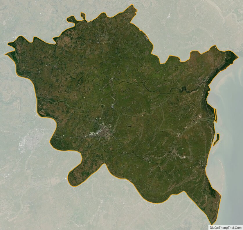
Thai Binh satellite map