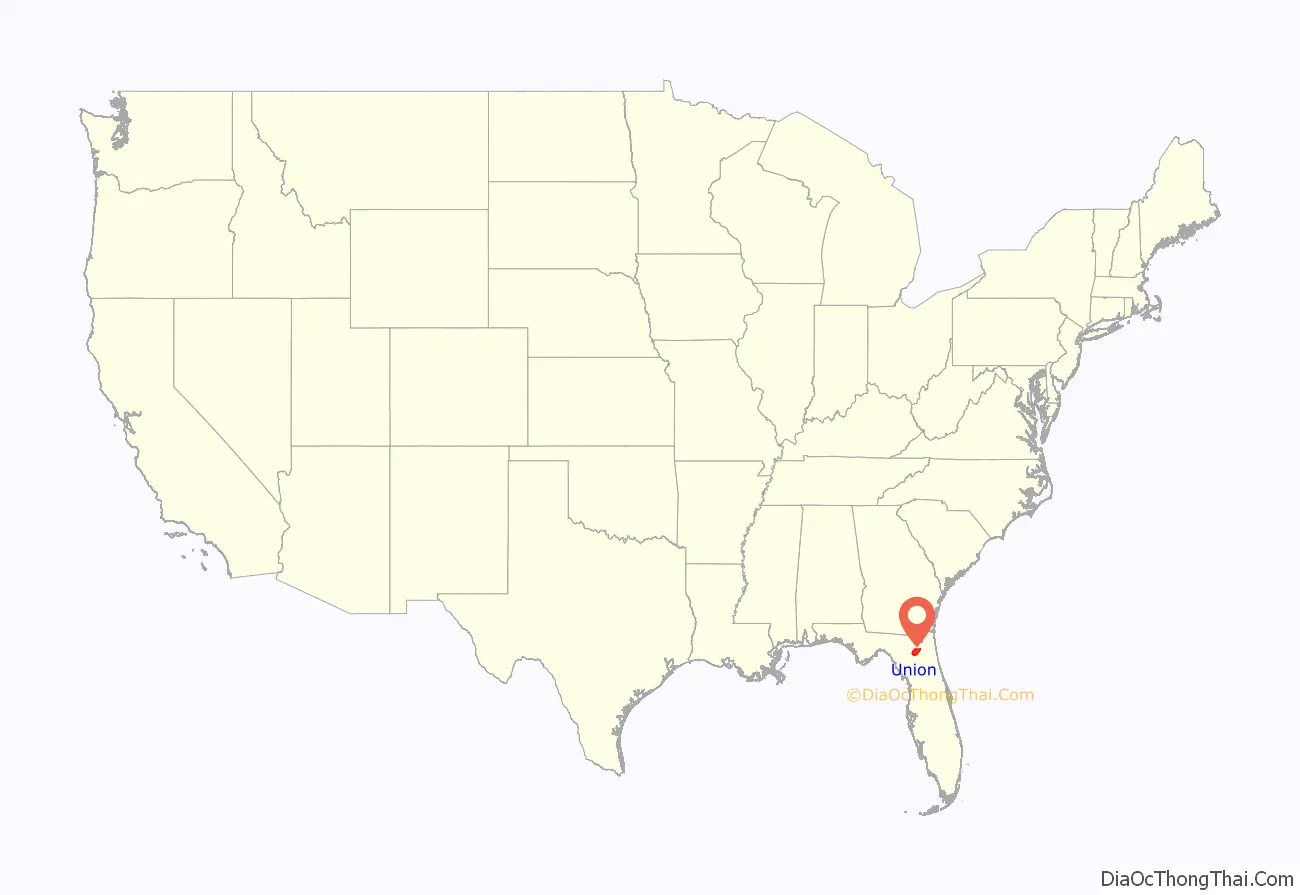
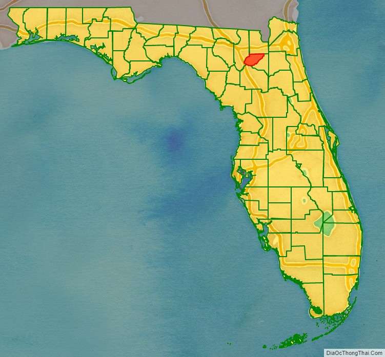
Union County is a county located in the north central portion of the U.S. state of Florida, the smallest in the state by area. As of the 2020 census, the population was 16,147. The county seat is Lake Butler. With a personal per capita income of $20,396 (as of 2017), it is the fourth-poorest county in the United States.
| Name: | Union County |
|---|---|
| FIPS code: | 12-125 |
| State: | Florida |
| Founded: | May 20, 1921 |
| Named for: | Concept of Unity |
| Seat: | Lake Butler |
| Largest city: | Lake Butler |
| Total Area: | 250 sq mi (600 km²) |
| Land Area: | 244 sq mi (630 km²) |
| Total Population: | 16,147 |
| Population Density: | 64/sq mi (25/km²) |
| Time zone: | UTC−5 (Eastern) |
| Summer Time Zone (DST): | UTC−4 (EDT) |
| Website: | www.unioncounty-fl.gov |
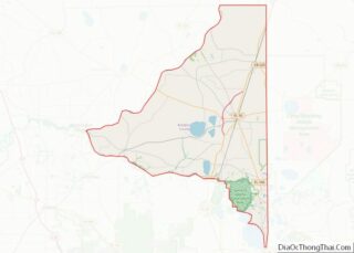
Union County location map. Where is Union County?
History
Union County was created in 1921 from part of Bradford County. It was named to honor the concept of unity. Union County is the location of Union Correctional Institution and the Reception and Medical Center (RMC). Union CI is a maximum security prison and is home to part of Florida’s Death Row. The death chamber is located at nearby Florida State Prison (FSP) in Bradford County. Florida State Prison also houses some death-row inmates.
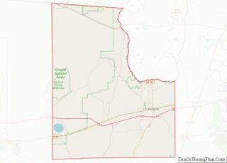
Union County Road Map
Geography
According to the U.S. Census Bureau, the county has an area of 250 square miles (650 km), of which 244 square miles (630 km) is land and 6.2 square miles (16 km) (2.5%) is water. It is the smallest county by area in Florida.
