Baker County is a county in the U.S. state of Florida. As of the 2020 census, the population was 28,259. Its county seat is Macclenny. The county was founded in 1861 and is named for James McNair Baker, a judge and Confederate Senator.
Baker County is included in the Jacksonville, FL Metropolitan Statistical Area.
In 1864, the Battle of Olustee, which was the only major American Civil War battle in Florida, was fought near Lake City in Baker County.
| Name: | Baker County |
|---|---|
| FIPS code: | 12-003 |
| State: | Florida |
| Founded: | February 8, 1861 |
| Named for: | James McNair Baker |
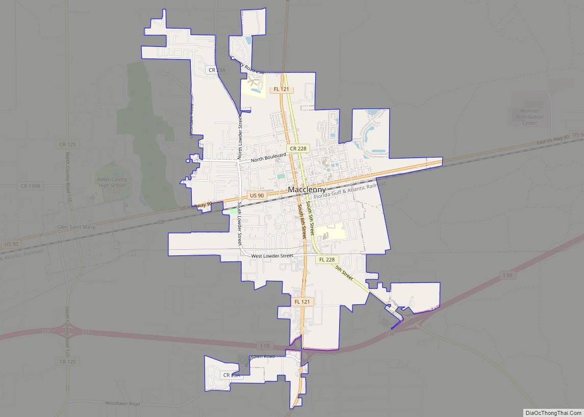
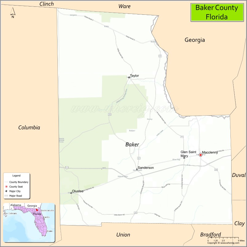
| Seat: | Macclenny |
| Largest city: | Macclenny |
| Total Area: | 588.97 sq mi (1,525.4 km²) |
| Land Area: | 585.23 sq mi (1,515.7 km²) |
| Total Population: | 28,259 |
| Population Density: | 48.29/sq mi (18.64/km²) |
| Time zone: | UTC−5 (Eastern) |
| Summer Time Zone (DST): | UTC−4 (EDT) |
| Website: | www.bakercountyfl.org |
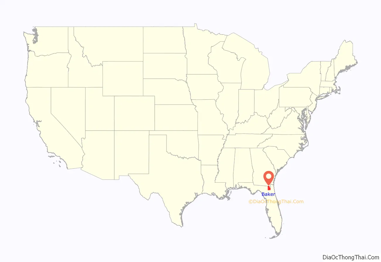
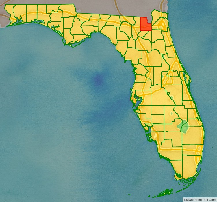
Baker County location map. Where is Baker County?
History
Baker County was founded in 1861. It was named for James McNair Baker (1821–1892), a judge and Confederate senator. In 1864 the Battle of Olustee was fought near Lake City in Baker County. This was the only major American Civil War battle in Florida.
Much of the area was originally covered with pine flatwoods and cypress swamps, as was Columbia County to the west. Parts of both counties are included in Osceola National Forest. A lumber industry developed here, with sawmills constructed along rivers and waterways, where lumber was brought out by water. Turpentine was also produced. These industries employed many African American laborers.
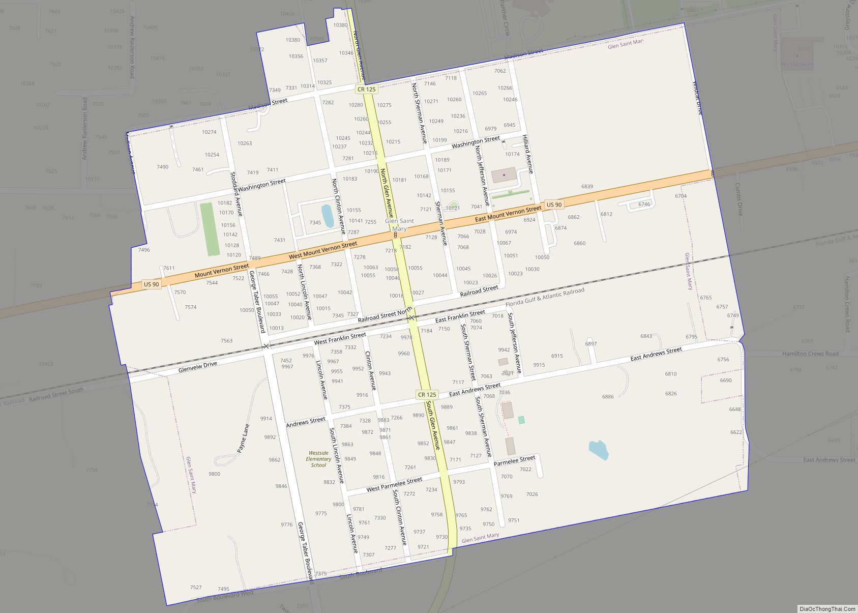
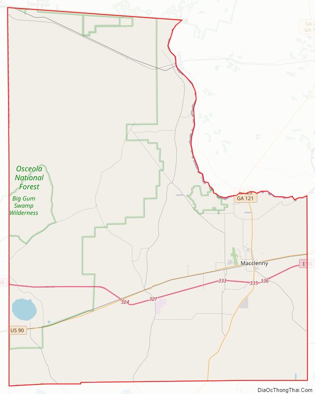
Baker County Road Map
Geography
According to the U.S. Census Bureau, the county has a total area of 589 square miles (1,530 km), of which 585 square miles (1,520 km) is land and 3.7 square miles (9.6 km) (0.6%) is water. The extreme northern part of the county lies within the Okefenokee Swamp and its federally protected areas.
The St. Mary’s River passes through Baker and numerous other counties. The St. Marys River is a remote blackwater river, rising in southeastern Georgia and flowing into northeastern Florida, where it forms the easternmost border between the two states.
Adjacent counties
- Charlton County, Georgia – north
- Ware County, Georgia – north
- Nassau County, Florida – northeast
- Duval County, Florida – east
- Clay County, Florida – southeast
- Union County, Florida – south
- Bradford County, Florida – south
- Columbia County, Florida – west
- Clinch County, Georgia – northwest
National protected areas
- Okefenokee National Wildlife Refuge (part)
- Osceola National Forest (part)
Major highways
- I-10
- US 90
- SR 2
- SR 121
- SR 228
Baker County Topographic Map
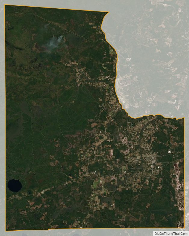
Baker County Satellite Map
Baker County Outline Map