Map of Vincent town

Map of Vincent town, Alabama

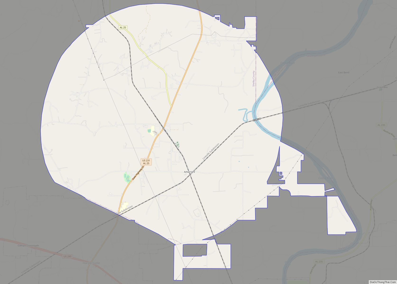
Vincent, originally known as Propel, is a city in Shelby, St. Clair, and Talladega counties in the U.S. state of Alabama. At the 2020 census, the population was 1,982. The community was first known as Propel, but later named Vincent in honor of the Vincent family, who were early settlers of the area. It was … Read more

Map of Vina town

Map of Vina town, Alabama

Vina is a town in Franklin County, Alabama, United States. At the 2010 census the population was 358, down from 400 in 2000. Carl Elliott, the representative of Alabama’s 7th congressional district from 1949 to 1965, graduated in 1929 from Vina High School. Johnny Mack Morrow, who served in the Alabama Legislature from 1990 to … Read more

Map of Vestavia Hills city

Map of Vestavia Hills city

Vestavia Hills, colloquially known simply as Vestavia, is a city in Jefferson and Shelby counties in the U.S. state of Alabama. It is a suburb of Birmingham and it is made up of Vestavia, Liberty Park, and Cahaba Heights. As of the 2020 census, its population was 39,102, up from 34,033 in 2010. It moved … Read more

Map of Wadley town

Map of Wadley town, Alabama

Wadley is a town in Randolph County, Alabama, United States. It is home to the Wadley campus of Southern Union State Community College. As of the 2010 census, the population of the town was 751, up from 640 in 2000. According to the 1910 U.S. Census, the town was incorporated in 1908. Wadley town overview: … Read more

Map of Vredenburgh town

Map of Vredenburgh town

Vredenburgh (/ˈvriːdənbɜːrɡ/) is a town in Monroe County, Alabama, United States. It incorporated in 1912. At the 2020 census, the population was 222. Vredenburgh town overview: Name: Vredenburgh town LSAD Code: 43 LSAD Description: town (suffix) State: Alabama County: Monroe County Elevation: 151 ft (46 m) Total Area: 1.52 sq mi (3.93 km²) Land Area: 1.50 sq mi (3.89 km²) Water Area: 0.01 sq mi … Read more

Map of Vinegar Bend CDP

Map of Vinegar Bend CDP

Vinegar Bend is an unincorporated census-designated place in Washington County, Alabama, United States. Vinegar Bend is 15 miles (24 km) south-southwest of Chatom. As of the 2010 census, its population was 192. Vinegar Bend had a post office with ZIP code 36584 until it was closed July 1, 2010. When the bridge on the “main” road … Read more

Map of Warrior city

Map of Warrior city

Warrior is a city in Jefferson and Blount counties in the State of Alabama. At the 2020 census, the population was 3,224. It is a northern suburb of Birmingham. Warrior city overview: Name: Warrior city LSAD Code: 25 LSAD Description: city (suffix) State: Alabama County: Jefferson County Elevation: 564 ft (172 m) Total Area: 9.78 sq mi (25.32 km²) Land … Read more

Map of Walnut Grove town

Map of Walnut Grove town, Alabama

Walnut Grove is a town in Etowah County, Alabama, United States. It is part of the Gadsden Metropolitan Statistical Area. At the 2010 census the population was 698 (is much larger than census reports as most do not fill out the census reports in the area and most have an Altoona mailing address as well. … Read more

Map of Waldo town

Map of Waldo town, Alabama

Waldo is a town in Talladega County, Alabama, United States. It incorporated in 1972. At the 2020 census, the population was 258. Waldo town overview: Name: Waldo town LSAD Code: 43 LSAD Description: town (suffix) State: Alabama County: Talladega County Elevation: 705 ft (215 m) Total Area: 2.86 sq mi (7.42 km²) Land Area: 2.81 sq mi (7.28 km²) Water Area: 0.05 sq mi (0.14 km²) … Read more

Map of Weaver city

Map of Weaver city

Weaver is a city in Calhoun County, Alabama, United States. At the 2020 census, the population was 3,339. It is included in the Anniston–Oxford, Alabama Metropolitan Statistical Area. Weaver city overview: Name: Weaver city LSAD Code: 25 LSAD Description: city (suffix) State: Alabama County: Calhoun County Elevation: 748 ft (228 m) Total Area: 3.48 sq mi (9.02 km²) Land Area: … Read more

Map of Waverly town

Map of Waverly town, Alabama

Waverly is a town in Chambers and Lee counties in the U.S. state of Alabama. It is part of the Auburn Metropolitan Area. It was incorporated in 1910. As of 2010, the town population was 145. Waverly has an operating post office, and four churches are located in the town. Waverly town overview: Name: Waverly … Read more

Map of Waterloo town

Map of Waterloo town, Alabama

Waterloo is a town in Lauderdale County, Alabama, United States. It is part of the Florence–Muscle Shoals metropolitan area, known as “The Shoals”. As of the 2010 census, the population of the town was 203, down from 208 in 2000. The town and surrounding area is served by Waterloo High School and by the Waterloo … Read more