Map of Wilton town

Map of Wilton town, Alabama

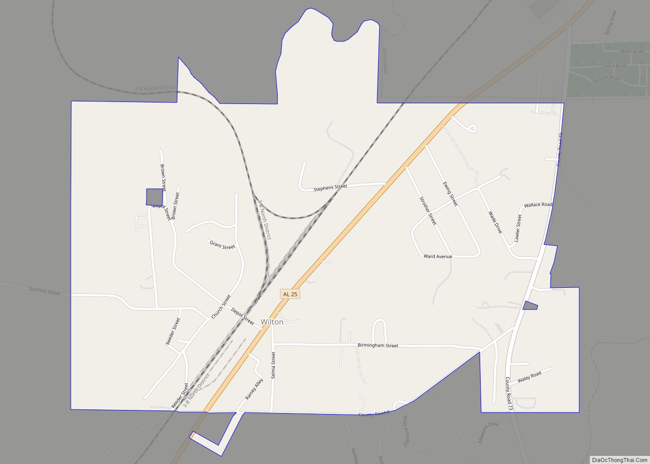
Wilton, also known by the previous names of Birmingham Junction, Bismark, and Catoosa, is a town in Shelby County, Alabama, United States. It was incorporated in 1918. This town is part of the Birmingham–Hoover–Cullman Combined Statistical Area. At the 2010 census the population was 687, up from 580 in 2000. Wilton town overview: Name: Wilton … Read more

Map of Wilsonville town

Map of Wilsonville town, Alabama

Wilsonville is a town in southeastern Shelby County, Alabama, United States, located northeast of Columbiana. At the 2020 census, the population was 1,857. Wilsonville is named after the earliest settler in the area, Elisha Wilson. The town was incorporated in 1897. 3 years later in 1900, it had the distinction of being the largest community … Read more

Map of Whitesboro CDP

Map of Whitesboro CDP, Alabama

Whitesboro is a census-designated place and unincorporated community in Etowah County, Alabama, United States. Its population was 2,138 as of the 2010 census. Whitesboro CDP overview: Name: Whitesboro CDP LSAD Code: 57 LSAD Description: CDP (suffix) State: Alabama County: Etowah County Elevation: 1,043 ft (318 m) Total Area: 17.50 sq mi (45.32 km²) Land Area: 17.48 sq mi (45.27 km²) Water Area: 0.02 sq mi … Read more

Map of Woodstock town

Map of Woodstock town, Alabama

Woodstock is a town in Bibb and Tuscaloosa counties in the U.S. state of Alabama. Formerly known as North Bibb, by referendum in August 2000, the town adopted the name of a long-established local unincorporated community and, as of October 1, 2000, is now known officially as “Woodstock”. As of the 2010 census, the population … Read more

Map of Woodland town

Map of Woodland town, Alabama

Woodland is a town in Randolph County, Alabama, United States. At the 2010 census the population was 184, down from 192 in 2000. It incorporated in 1967. Woodland town overview: Name: Woodland town LSAD Code: 43 LSAD Description: town (suffix) State: Alabama County: Randolph County Elevation: 1,083 ft (330 m) Total Area: 1.56 sq mi (4.04 km²) Land Area: 1.56 sq mi … Read more

Map of Winfield city

Map of Winfield city, Alabama

Winfield is a city in Marion and Fayette counties in the U.S. state of Alabama. The population was 4,845 at the 2020 census, the second largest city in Marion County. Winfield city overview: Name: Winfield city LSAD Code: 25 LSAD Description: city (suffix) State: Alabama County: Fayette County, Marion County Elevation: 476 ft (145 m) Total Area: … Read more

Map of York city

Map of York city, Alabama

York is a city in Sumter County, Alabama, United States. Founded around 1838 after the merging of two communities, Old Anvil and New York Station, the latter a station on a stagecoach line. The rail came through in the 1850s and later, the “New” was dropped from York Station in 1861. With the discovery that … Read more

Map of Yellow Bluff town

Map of Yellow Bluff town

Yellow Bluff is a town in Wilcox County, Alabama, United States. It incorporated in 1985. Per the 2020 census, the population was 208. Yellow Bluff town overview: Name: Yellow Bluff town LSAD Code: 43 LSAD Description: town (suffix) State: Alabama County: Wilcox County Elevation: 102 ft (31 m) Total Area: 0.63 sq mi (1.62 km²) Land Area: 0.63 sq mi (1.62 km²) Water … Read more

Map of Woodville town

Map of Woodville town, Alabama

Woodville is a town in Jackson County, Alabama, United States. It was officially established by an act of the Alabama State Legislature on December 13, 1819, one day before Alabama became a state. It was later incorporated on May 12, 1890, but lost its charter in 1897. It reincorporated in 1912. As of the 2010 … Read more