Map of Huntsville city

Map of Huntsville city, Alabama

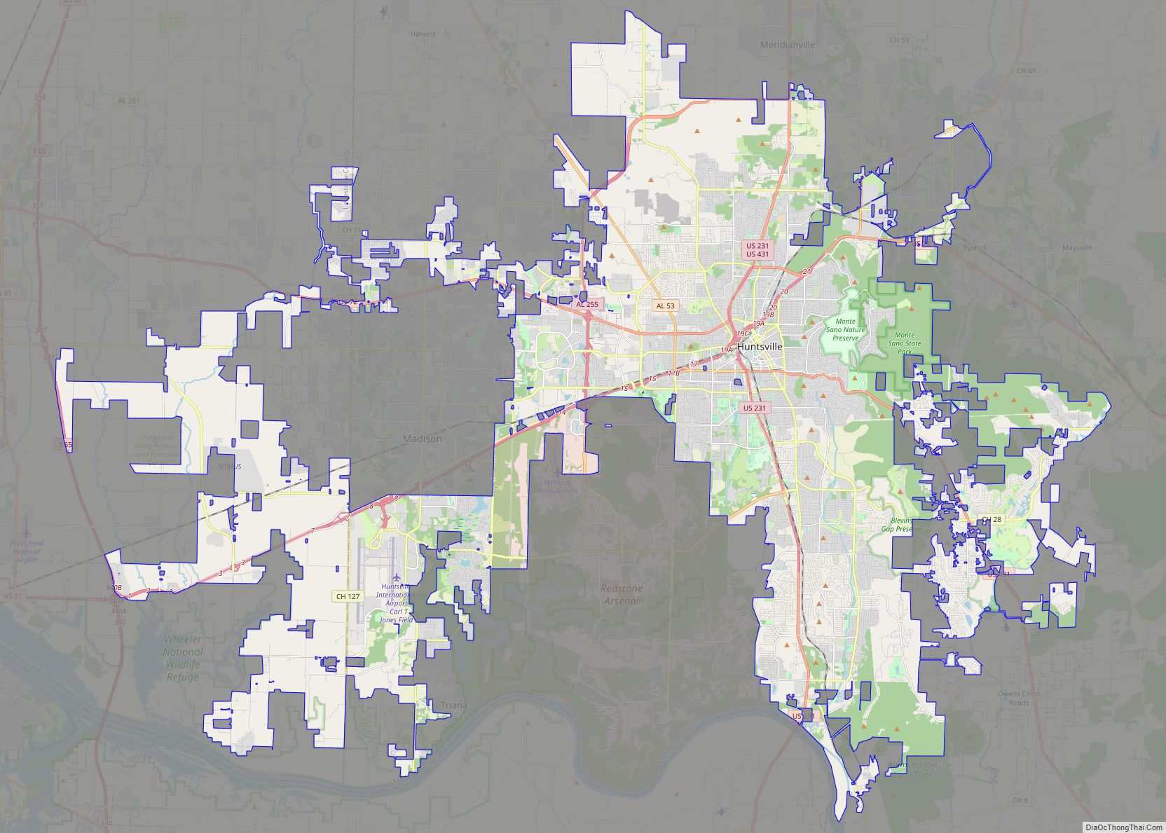
Huntsville is a city in Madison County and Limestone County, Alabama, United States, with a small portion extending into Morgan County. It is the county seat of Madison County. Located in the Appalachian region of northern Alabama, Huntsville is the most populous city in the state. Huntsville was founded within the Mississippi Territory in 1805 … Read more

Map of Birmingham city

Map of Birmingham city, Alabama

Birmingham city overview: Name: Birmingham city LSAD Code: 25 LSAD Description: city (suffix) State: Alabama County: Jefferson County, Shelby County Incorporated: December 19, 1871 Elevation: 597 ft (182 m) Land Area: 147.02 sq mi (380.77 km²) Water Area: 2.52 sq mi (6.53 km²) Population Density: 1,365.37/sq mi (527.17/km²) Area code: 205, 659 FIPS code: 0107000 GNISfeature ID: 2403868 Website: www.birminghamal.gov Discover the beauty of … Read more

Map of Montgomery city

Map of Montgomery city, Alabama

Montgomery is the capital city of the U.S. state of Alabama and the county seat of Montgomery County. Named for the Irish soldier Richard Montgomery, it stands beside the Alabama River, on the coastal Plain of the Gulf of Mexico. In the 2020 census, Montgomery’s population was 200,603. It is the second most populous city … Read more

Map of Mobile city

Map of Mobile city

Mobile city overview: Name: Mobile city LSAD Code: 25 LSAD Description: city (suffix) State: Alabama County: Mobile County Founded: 1702 Elevation: 33 ft (10 m) Land Area: 139.48 sq mi (361.26 km²) Water Area: 40.59 sq mi (105.14 km²) Population Density: 1,340.97/sq mi (517.75/km²) Area code: 251 FIPS code: 0150000 GNISfeature ID: 2404278 Website: www.cityofmobile.org Online Interactive Map Mobile online map. Source: Basemap layers … Read more

Map of Tuscaloosa city

Map of Tuscaloosa city

Tuscaloosa (/ˌtʌskəˈluːsə/ TUS-kə-LOO-sə) is a city in and the seat of Tuscaloosa County in west-central Alabama, United States, on the Black Warrior River where the Gulf Coastal and Piedmont plains meet. Alabama’s fifth-largest city, it had an estimated population of 102,432 in 2022. It was known as Tuskaloosa until the early 20th century. It is … Read more

Map of Abanda CDP

Map of Abanda CDP

Abanda is a census-designated place and unincorporated community in Chambers County, Alabama, United States. Its population was 133 as of the 2020 census. Abanda CDP overview: Name: Abanda CDP LSAD Code: 57 LSAD Description: CDP (suffix) State: Alabama County: Chambers County Elevation: 646 ft (197 m) Total Area: 3.01 sq mi (7.80 km²) Land Area: 3.00 sq mi (7.76 km²) Water Area: 0.01 sq mi … Read more

Map of Addison town

Map of Addison town, Alabama

Addison is a town in Winston County, Alabama, United States. It incorporated in December 1949. At the 2020 U.S. Census, it had a population of 659, down from 758 in 2010. Addison town overview: Name: Addison town LSAD Code: 43 LSAD Description: town (suffix) State: Alabama County: Winston County Elevation: 784 ft (239 m) Total Area: 3.80 sq mi … Read more

Map of Adamsville city

Map of Adamsville city, Alabama

Adamsville is a city in western Jefferson County, Alabama. It is north from the Birmingham suburb of Pleasant Grove. It initially incorporated in 1901 (although the 1910 U.S. Census stated 1900), but disincorporated in 1915. It later reincorporated in 1953. According to the 2010 census, this town had a population of 4,522, down from its … Read more

Map of Abbeville city

Map of Abbeville city, Alabama

Abbeville is a city in and the county seat of Henry County, in the southeast part of Alabama, United States. It is part of the Dothan, Alabama Metropolitan Statistical Area. At the 2020 census, the population was 2,358. It is the first city alphabetically, both by city and state, in the Rand McNally Road Atlas. … Read more

Map of Albertville city

Map of Albertville city, Alabama

Albertville is a city in Marshall County, Alabama, United States, and is included in the Huntsville-Decatur Combined Statistical Area. As of the 2020 census, the population of the city was 22,386. It is the largest city in Marshall County. Albertville city overview: Name: Albertville city LSAD Code: 25 LSAD Description: city (suffix) State: Alabama County: … Read more

Map of Alabaster city

Map of Alabaster city

Alabaster is a city and southern suburb of Birmingham in Shelby County, Alabama, United States. At the 2020 census, the population was 33,284. Alabaster is the 16th largest city in Alabama by number of residents. Alabaster city overview: Name: Alabaster city LSAD Code: 25 LSAD Description: city (suffix) State: Alabama County: Shelby County Elevation: 584 ft … Read more

Map of Akron city

Map of Akron town, Alabama

Akron (/ˈækrɒn/) is a town in Hale County, Alabama, United States. In 1906, the owner of a large plantation, Waller Evan Wedgworth, sold part of his land to developers, and a construction boom followed. The town was incorporated in March 1918. At the 2010 census the population was 356, down from 521 at the 2000 … Read more