Map of Kotzebue city

Map of Kotzebue city

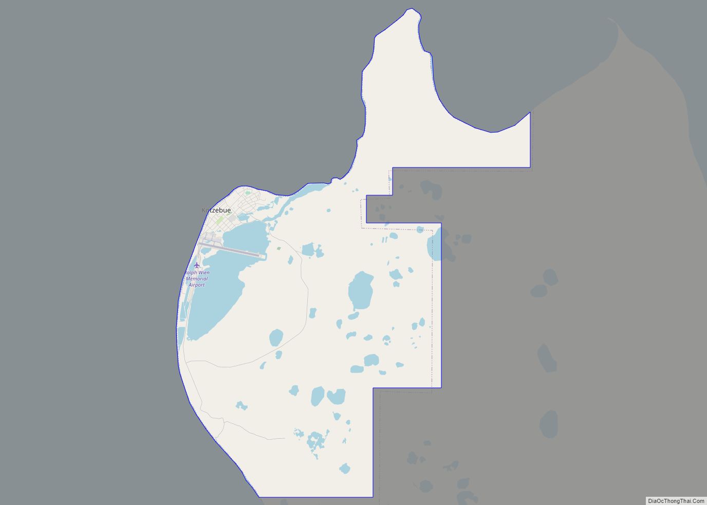
Kotzebue (/ˈkɒtsəbjuː/ KOTS-ə-bew) or Qikiqtaġruk (/kɪkɪkˈtʌɡrʊk/ kik-ik-TUG-rook, Inupiaq: [qekeqtɑʁʐuk]) is a city in the Northwest Arctic Borough in the U.S. state of Alaska. It is the borough’s seat, by far its largest community and the economic and transportation hub of the subregion of Alaska encompassing the borough. The population of the city was 3,102 as of … Read more

Map of Kotlik city

Map of Kotlik city

Kotlik (Central Yupik: Qerrulliik, Russian: Котлик) is a city in Kusilvak Census Area, Alaska, United States. At the 2010 census the population was 577, down from 591 in 2000. Kotlik city overview: Name: Kotlik city LSAD Code: 25 LSAD Description: city (suffix) State: Alaska County: Kusilvak Census Area Incorporated: October 28, 1970 Elevation: 0 ft (0 m) … Read more

Map of Kongiganak CDP

Map of Kongiganak CDP

Kongiganak (Central Yupik: Kangirnaq) is a census-designated place (CDP) in Bethel Census Area, Alaska, United States, and primarily sits on the eastern shore of the Kongiganak River. As of the 2010 census, the population was 439, up from 359 in 2000. Kongiganak CDP overview: Name: Kongiganak CDP LSAD Code: 57 LSAD Description: CDP (suffix) State: … Read more

Map of Kupreanof city

Map of Kupreanof city

Kupreanof (Lingít: Aansadaak’w) is a city at the eastern shore of Kupreanof Island in the Petersburg Borough, in the U.S. state of Alaska. The population was 21 as of the 2020 census, down from 27 in 2010. It is the smallest incorporated city in the state as of 2020. Kupreanof city overview: Name: Kupreanof city … Read more

Map of Koyukuk city

Map of Koyukuk city

Koyukuk (/ˈkaɪjəkək/) (Koyukon: Meneelghaadze’ T’oh [məniːlʁæːt͡səʔ tʼoh]) is a city in Yukon-Koyukuk Census Area, Alaska, United States. At the 2010 census the population was 96, down from 101 in 2000. As of 2009, Koyukuk is one of a number of Alaskan communities threatened by erosion. Koyukuk city overview: Name: Koyukuk city LSAD Code: 25 LSAD … Read more

Map of Koyuk city

Map of Koyuk city

Koyuk (Inupiaq: Kuuyuk) is a city in the Nome Census Area, Alaska, United States. The population was 332 at the 2010 census, up from 297 in 2000. Koyuk city overview: Name: Koyuk city LSAD Code: 25 LSAD Description: city (suffix) State: Alaska County: Nome Census Area Incorporated: October 19, 1970 Elevation: 33 ft (10 m) Total Area: … Read more

Map of Lake Louise CDP

Map of Lake Louise CDP

Lake Louise (Sasnuu’ Bene’ in Ahtna) is a census-designated place (CDP) in Matanuska-Susitna Borough, Alaska, United States. Although it is an isolated settlement and is close to Glennallen, it is considered part of the Anchorage Metropolitan Area, like all other locations in the Mat-Su Borough. At the 2020 census the population was 15, down from … Read more

Map of Kwigillingok CDP

Map of Kwigillingok CDP

Kwigillingok (Central Yupik: Kuigilnguq) is a census-designated place (CDP) in Bethel Census Area, Alaska, United States. The population was 321 at the 2010 census, down from 338 in 2000. Kwigillingok CDP overview: Name: Kwigillingok CDP LSAD Code: 57 LSAD Description: CDP (suffix) State: Alaska County: Bethel Census Area Total Area: 23.83 sq mi (61.71 km²) Land Area: 23.79 sq mi … Read more

Map of Kwethluk city

Map of Kwethluk city

Kwethluk (/ˈkwiːθlʊk/ KWEETH-luuk; Central Yupik: Kuiggluk) is a city in Bethel Census Area in the U.S. state of Alaska. At the 2010 census the population was 721, up from 713 in 2000. Kwethluk city overview: Name: Kwethluk city LSAD Code: 25 LSAD Description: city (suffix) State: Alaska County: Bethel Census Area Incorporated: 1975 Elevation: 10 ft … Read more

Map of Larsen Bay city

Map of Larsen Bay city

Larsen Bay (Alutiiq: Uyaqsaq) is a city in Kodiak Island Borough, Alaska, United States. At the 2010 census the population was 87, down from 115 in 2000. Larsen Bay city overview: Name: Larsen Bay city LSAD Code: 25 LSAD Description: city (suffix) State: Alaska County: Kodiak Island Borough Incorporated: 1974 Elevation: 3 ft (1 m) Total Area: … Read more

Map of Lakes CDP

Map of Lakes CDP

Lakes CDP overview: Name: Lakes CDP LSAD Code: 57 LSAD Description: CDP (suffix) State: Alaska County: Matanuska-Susitna Borough FIPS code: 0242832 Online Interactive Map Lakes online map. Source: Basemap layers from Google Map, Open Street Map (OSM), Arcgisonline, Wmflabs. Boundary Data from Database of Global Administrative Areas. Lakes location map. Where is Lakes CDP? Lakes … Read more

Map of Lake Minchumina CDP

Map of Lake Minchumina CDP

Lake Minchumina (Menchuh Mene’ [mənt͡ʃʰuh mənə] in Koyukon; Minchu Mina’ in Dinak’i) is a census-designated place (CDP) in Yukon-Koyukuk Census Area, Alaska, United States. As of the 2020 census, the population of the CDP is 30. Lake Minchumina CDP overview: Name: Lake Minchumina CDP LSAD Code: 57 LSAD Description: CDP (suffix) State: Alaska County: Yukon-Koyukuk … Read more