Map of Mekoryuk city

Map of Mekoryuk city

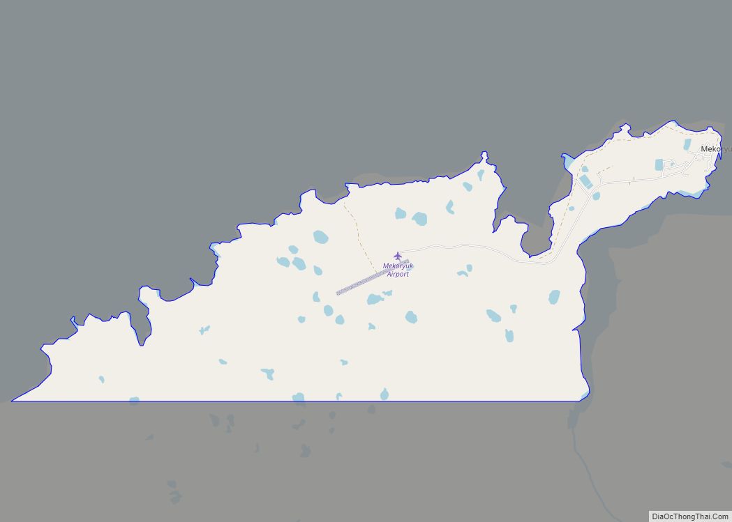
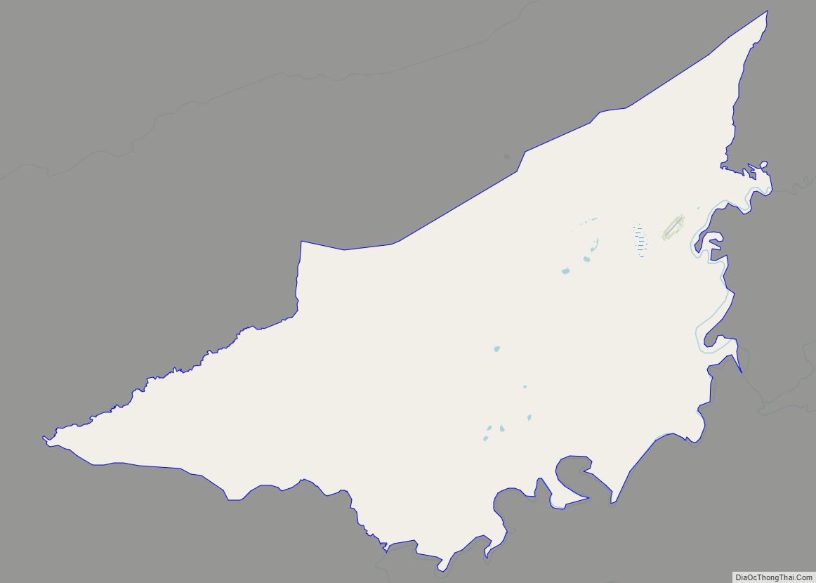
Mekoryuk (Nunivak Cup’ig: Mikuryarmiut; Central Yup’ik: Mikuryar) is a city located on Nunivak Island in the Bethel Census Area, Alaska, United States. At the 2010 census the population was 191, down from 210 in 2000. Mekoryuk city overview: Name: Mekoryuk city LSAD Code: 25 LSAD Description: city (suffix) State: Alaska County: Bethel Census Area Incorporated: … Read more

Map of Meadow Lakes CDP

Map of Meadow Lakes CDP

Meadow Lakes is a census-designated place (CDP) in Matanuska-Susitna Borough, Alaska, United States. Located west of Wasilla, it is part of the Anchorage, Alaska Metropolitan Statistical Area. As of the 2020 census, the population was 9,197, up from 7,570 in 2010. It is the fifth-most populated CDP in Alaska and the third largest community in … Read more

Map of McGrath city

Map of McGrath city, Alaska

McGrath (Tochak’ in Upper Kuskokwim, Digenegh in Deg Xinag) is a city and village on the Kuskokwim River in Alaska, United States. The population was 301 at the 2020 census. Despite its small population, the village is an important transportation and economic hub for the area. McGrath city overview: Name: McGrath city LSAD Code: 25 … Read more

Map of Mertarvik CDP

Map of Mertarvik CDP

Mertarvik (Mug-TUG-vik; Central Yupik: Mertarvik [məg’təgvɪk]) is a village in the Bethel Census Area, Alaska. In 2019 the first residents from the town of Newtok, which is eroding, began to arrive. By 2020, about 130 residents were there. In 2020, the State of Alaska had not sent voting primary forms to the village because of … Read more

Map of Mentasta Lake CDP

Map of Mentasta Lake CDP

Mentasta Lake (Mendaesde in Ahtna Athabascan) is a census-designated place (CDP) in Copper River Census Area, Alaska, United States. At the 2010 census the population was 112, down from 142 in 2000. Mentasta Lake CDP overview: Name: Mentasta Lake CDP LSAD Code: 57 LSAD Description: CDP (suffix) State: Alaska County: Valdez-Cordova Census Area Total Area: … Read more

Map of Mendeltna CDP

Map of Mendeltna CDP

Mendeltna (Bendilna’ in Ahtna) is a census-designated place (CDP) in Copper River Census Area, Alaska, United States. The population was 36 at the 2020 census, down from 39 in 2010. Mendeltna CDP overview: Name: Mendeltna CDP LSAD Code: 57 LSAD Description: CDP (suffix) State: Alaska County: Valdez-Cordova Census Area Elevation: 2,441 ft (744 m) Total Area: 458.52 sq mi … Read more

Map of Metlakatla CDP

Map of Metlakatla CDP

Metlakatla (/ˌmɛtləˈkætlə/; Tsimshian: Maxłakxaała or Wil uks t’aa mediik; Lingít: Tàakw.àani) is a census-designated place (CDP) on Annette Island in Prince of Wales-Hyder Census Area, Alaska, United States. At the 2010 census the population was 1,405; this had grown to 1,454 by the 2020 census. Since the late 19th century, it has been the major … Read more

Map of Moose Creek CDP

Map of Moose Creek CDP

Moose Creek is a census-designated place (CDP) in Fairbanks North Star Borough in the U.S. state of Alaska. As of the 2010 census, the population of the CDP was 747, up from 542 in 2000. It is part of the ‘Fairbanks, Alaska Metropolitan Statistical Area’. Moose Creek is located south of Fairbanks, Alaska along the … Read more

Map of Minto CDP

Map of Minto CDP, Alaska

Minto (Tanana: Menhti) is a census-designated place (CDP) in Yukon-Koyukuk Census Area, Alaska, United States. As of the 2020 census, the population of the CDP is 150, down from 210 in 2010. The name is an anglicized version of the Lower Tanana Athabaskan name Menhti mən̥tʰi, meaning ‘among the lakes’. After repeated flooding the village … Read more

Map of Mountain Village city

Map of Mountain Village city, Alaska

Mountain Village (Central Yupik: Asaacaryaraq) is a city in Kusilvak Census Area, Alaska, United States, located on the Yukon River near the Yukon-Kuskokwim Delta. At the 2010 census the population was 813, up from 755 in 2000. Mountain Village city overview: Name: Mountain Village city LSAD Code: 25 LSAD Description: city (suffix) State: Alaska County: … Read more

Map of Mosquito Lake CDP

Map of Mosquito Lake CDP

Mosquito Lake (Lingít: Xunt’i Áa) is a census-designated place (CDP) in Haines Borough, Alaska, United States. At the 2010 census the population was 309, up from 221 at the 2000 census. Mosquito Lake CDP overview: Name: Mosquito Lake CDP LSAD Code: 57 LSAD Description: CDP (suffix) State: Alaska County: Haines Borough Elevation: 305 ft (93 m) Total … Read more

Map of Moose Pass CDP

Map of Moose Pass CDP

Moose Pass is a census-designated place (CDP) in Kenai Peninsula Borough, Alaska, United States. The population was 219 at the 2010 census, up from 206 in 2000. Moose Pass CDP overview: Name: Moose Pass CDP LSAD Code: 57 LSAD Description: CDP (suffix) State: Alaska County: Kenai Peninsula Borough Elevation: 472 ft (144 m) Total Area: 17.88 sq mi (46.31 km²) … Read more