Map of Naknek CDP

Map of Naknek CDP

Naknek (Central Yupik: Nakniq) is a census-designated place located in and the borough seat of Bristol Bay Borough in the U.S. state of Alaska. As of the 2020 census, the population of the CDP was 470, down from 544 in 2010. Naknek is located on the north bank of the Naknek River, close to where … Read more

Map of Nabesna CDP

Map of Nabesna CDP

Nabesna (Nabaesna’ in Ahtna; Naambia Niign Daacheeg in Upper Tanana) is a census-designated place and unincorporated community in northern Copper River Census Area, Alaska, United States, in the northern part of the Wrangell-St. Elias National Park and Preserve. It lies along the Nabesna Road, a gravel road that connects it to the Tok Cut-Off at … Read more

Map of Mud Bay CDP

Map of Mud Bay CDP

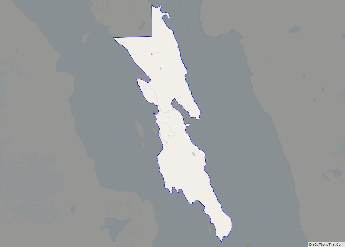
Mud Bay (Lingít: Ḵutlkw G̱eeyí) is a census-designated place (CDP) in Haines Borough, Alaska, United States. At the 2010 census the population was 212, up from 137 at the 2000 census. Mud Bay CDP overview: Name: Mud Bay CDP LSAD Code: 57 LSAD Description: CDP (suffix) State: Alaska County: Haines Borough Elevation: 72 ft (22 m) Total … Read more

Map of Nanwalek CDP

Map of Nanwalek CDP

Nanwalek (‘place by lagoon’; Russian: Нануалек), formerly Alexandrovsk (Russian: Александровск) and later English Bay, is a census-designated place (CDP) in the Kenai Peninsula Borough, Alaska, United States, that contains a traditional Alutiiq village. The population was 254 at the 2010 census, up from 177 in 2000. There is one school located in the community, attended … Read more

Map of Napaskiak city

Map of Napaskiak city

Napaskiak (Central Yupik: Napaskiaq) is a city in Bethel Census Area, Alaska, United States. At the 2010 census the population was 405, up from 390 in 2000. Napaskiak city overview: Name: Napaskiak city LSAD Code: 25 LSAD Description: city (suffix) State: Alaska County: Bethel Census Area Incorporated: October 27, 1971 Elevation: 3 ft (1 m) Total Area: … Read more

Map of Napakiak city

Map of Napakiak city

Napakiak (Central Yupik: Naparyarraq) is a city in Bethel Census Area, Alaska, United States. At the 2010 census the population was 354, up one resident from 353 since 2000. Napakiak city overview: Name: Napakiak city LSAD Code: 25 LSAD Description: city (suffix) State: Alaska County: Bethel Census Area Incorporated: October 19, 1970 Elevation: 10 ft (3 m) … Read more

Map of Nelson Lagoon CDP

Map of Nelson Lagoon CDP

Nelson Lagoon (Unangax̂: Niilsanam Alĝuudaa) is a census-designated place (CDP) in Aleutians East Borough, Alaska, United States. At the 2020 census the population was 41, down from 52 in 2010 and 83 in 2000. Nelson Lagoon was established around 1960 and is the youngest of the Borough communities. It is the only Aleut settlement on … Read more

Map of Nelchina CDP

Map of Nelchina CDP

Nelchina (Xaz Ghae Na’ in Ahtna) is a census-designated place (CDP) in Copper River Census Area, Alaska, United States. The population was 45 at the 2020 census, down from 59 in 2010. Nelchina CDP overview: Name: Nelchina CDP LSAD Code: 57 LSAD Description: CDP (suffix) State: Alaska County: Valdez-Cordova Census Area Elevation: 2,402 ft (732 m) Total … Read more

Map of Naukati Bay CDP

Map of Naukati Bay CDP

Naukati Bay (Lingít: Nàakig̱èey) is a census-designated place (CDP) in the Prince of Wales-Hyder Census Area of the Unorganized Borough of the U.S. state of Alaska. The population was 113 at the 2010 census, down from 135 in 2000. Also known as Naukati or Naukati West, the community lies approximately 30 miles (48 km) north of … Read more

Map of Newhalen city

Map of Newhalen city

Newhalen (Central Yupik: Nuuriileng; Tanaina: Nughilen) is a city in Lake and Peninsula Borough, Alaska, United States. At the 2020 census, the population was 168. Newhalen city overview: Name: Newhalen city LSAD Code: 25 LSAD Description: city (suffix) State: Alaska County: Lake and Peninsula Borough Incorporated: October 26, 1971 Elevation: 62 ft (19 m) Total Area: 8.50 sq mi … Read more

Map of New Stuyahok city

Map of New Stuyahok city

New Stuyahok (Central Yupik: Cetuyaraq) is a city in Dillingham Census Area, Alaska, United States. At the 2010 census the population was 510, up from 471 in 2000. New Stuyahok city overview: Name: New Stuyahok city LSAD Code: 25 LSAD Description: city (suffix) State: Alaska County: Dillingham Census Area Incorporated: November 20, 1972 Elevation: 138 ft … Read more

Map of Nenana city

Map of Nenana city

Nenana /nɛˈnænə/ (Lower Tanana: Toghotili; is a home rule city in the Yukon-Koyukuk Census Area of the Unorganized Borough in the Interior of the U.S. state of Alaska. Nenana developed as a Lower Tanana community at the confluence where the tributary Nenana River enters the Tanana. The population was 378 at the 2010 census, down … Read more