Map of Northway CDP

Map of Northway CDP

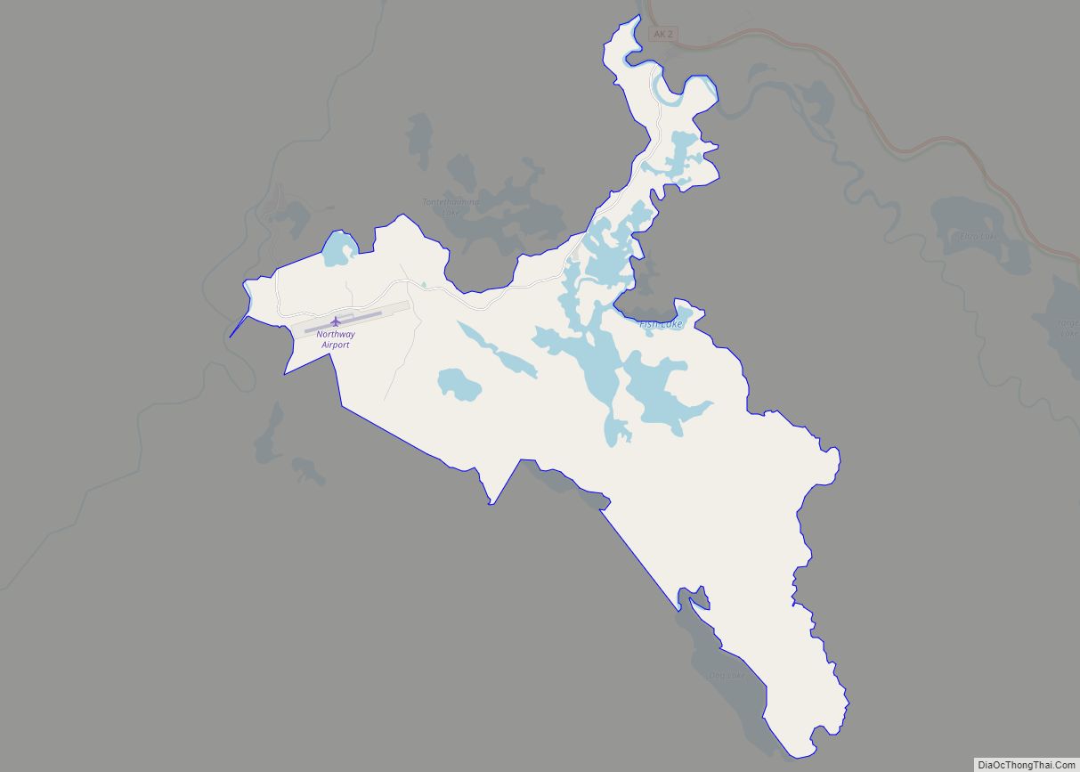
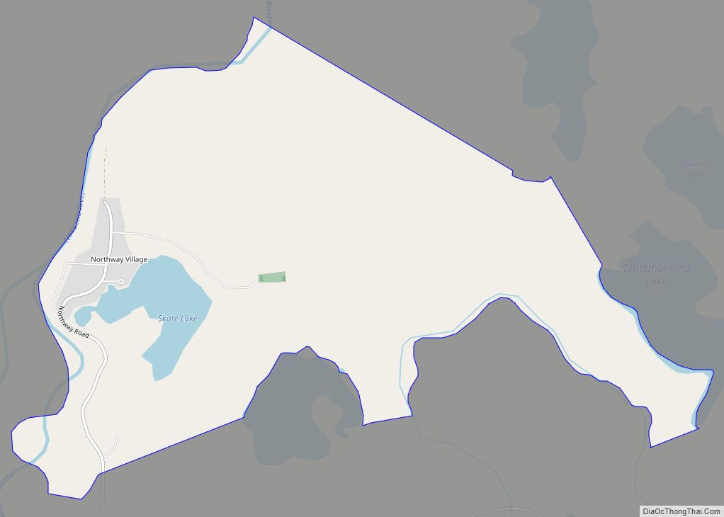
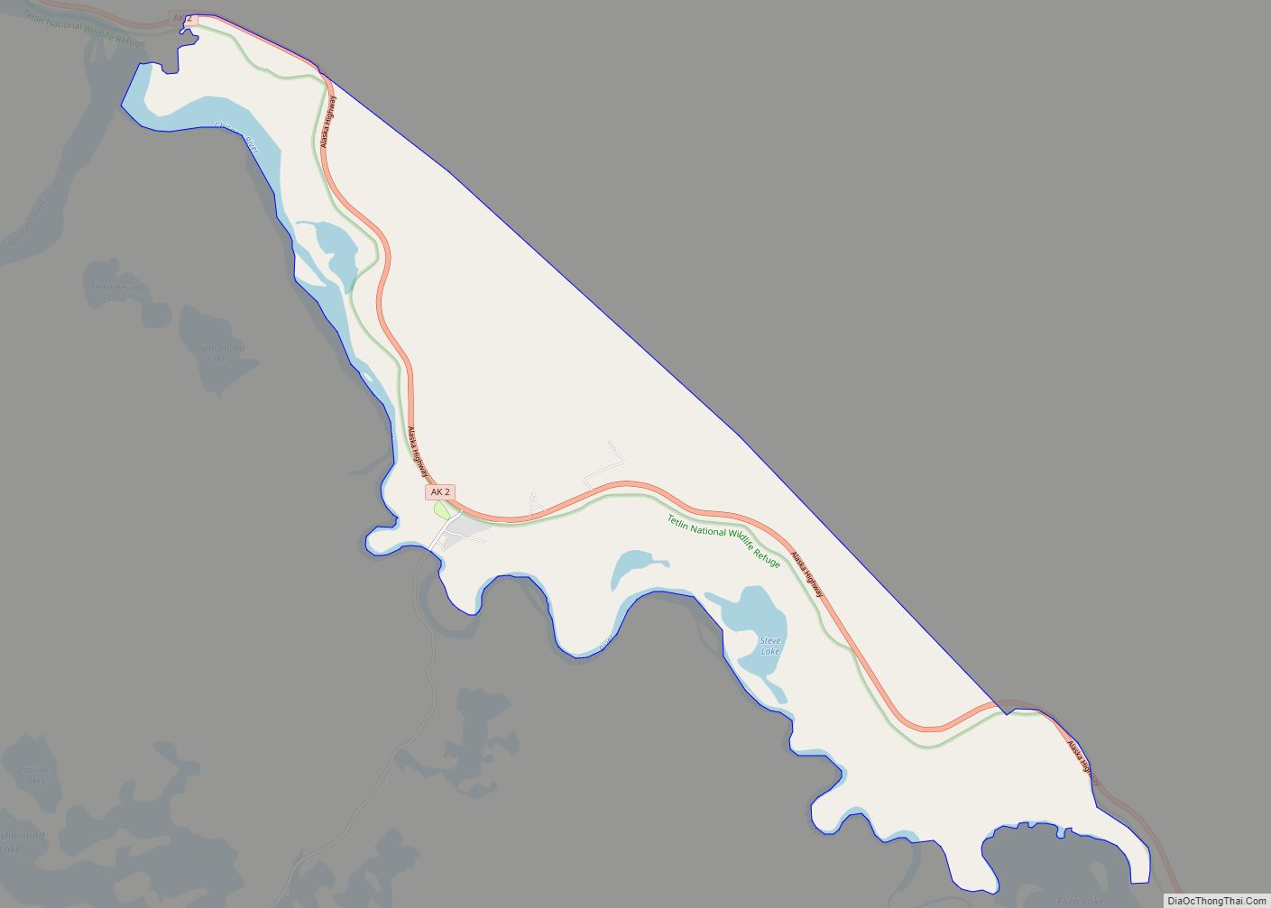
Northway (K’ehtthiign in Upper Tanana Athabascan) is a census-designated place (CDP) in Southeast Fairbanks Census Area, Alaska, United States. Prior to the 2020 Census, the borders of the CDP got expanded to include Northway Junction and Northway Village. The population was 234 at the 2020 census, up from 71 in 2010. Northway CDP overview: Name: … Read more

Map of Northway Village CDP

Map of Northway Village CDP

Northway Village CDP overview: Name: Northway Village CDP LSAD Code: 57 LSAD Description: CDP (suffix) State: Alaska County: Southeast Fairbanks Census Area FIPS code: 0256260 Online Interactive Map Northway Village online map. Source: Basemap layers from Google Map, Open Street Map (OSM), Arcgisonline, Wmflabs. Boundary Data from Database of Global Administrative Areas. Northway Village location … Read more

Map of Northway Junction CDP

Map of Northway Junction CDP

Northway Junction CDP overview: Name: Northway Junction CDP LSAD Code: 57 LSAD Description: CDP (suffix) State: Alaska County: Southeast Fairbanks Census Area FIPS code: 0256250 Online Interactive Map Northway Junction online map. Source: Basemap layers from Google Map, Open Street Map (OSM), Arcgisonline, Wmflabs. Boundary Data from Database of Global Administrative Areas. Northway Junction location … Read more

Map of Nunam Iqua city

Map of Nunam Iqua city

Nunam Iqua, formerly called Sheldon Point, is a city in the Kusilvak Census Area in the U.S. state of Alaska. At the 2010 census the population was 187, up from 164 in 2000. Nunam Iqua is a Yupik name meaning “land’s end” (nuna = “land”; iquk = “end”). A man named Sheldon opened a fish … Read more

Map of Nulato city

Map of Nulato city

Nulato (/nuːˈlætoʊ/; Noolaaghe Doh /nuːlaːɣə tɔːχ/ “chum salmon fish camp” in Koyukon; Russian: Нулато) is a city in Yukon-Koyukuk Census Area, Alaska, United States. At the 2020 census, the population was 239. Nulato city overview: Name: Nulato city LSAD Code: 25 LSAD Description: city (suffix) State: Alaska County: Yukon-Koyukuk Census Area Incorporated: April 22, 1963 … Read more

Map of Nuiqsut city

Map of Nuiqsut city

Nuiqsut (Inupiaq: Nuiqsat, IPA: [nuiχsɐt]) is a city in North Slope Borough, Alaska, United States. The population was 512 at the 2020 Census and 92.5% Alaska Native. It is located in the midst of a vast quantity of oil reserves and the closest community to ConocoPhillips oil drilling project named Willow Project in the Alpine, Alaska … Read more

Map of Oscarville CDP

Map of Oscarville CDP

Oscarville (Central Yupik: Kuiggayagaq) is a census-designated place (CDP) in Bethel Census Area, Alaska, United States. The population was 70 at the 2010 census, up from 61 in 2000. Oscarville CDP overview: Name: Oscarville CDP LSAD Code: 57 LSAD Description: CDP (suffix) State: Alaska County: Bethel Census Area Total Area: 2.78 sq mi (7.20 km²) Land Area: 2.60 sq mi … Read more

Map of Old Harbor city

Map of Old Harbor city

Old Harbor (Alutiiq: Nuniaq; Russian: Старая Гавань) is a city in Kodiak Island Borough, Alaska, United States. At the 2010 census the population was 218, down from 237 in 2000. Old Harbor city overview: Name: Old Harbor city LSAD Code: 25 LSAD Description: city (suffix) State: Alaska County: Kodiak Island Borough Incorporated: June 3, 1966 … Read more

Map of Nunapitchuk city

Map of Nunapitchuk city

Nunapitchuk /nuːnəˈpɪtʃək/ (Central Yupik: Nunapicuar) is a city in Bethel Census Area, Alaska, United States. At the 2010 census the population was 496, up from 466 in 2000. Nunapitchuk city overview: Name: Nunapitchuk city LSAD Code: 25 LSAD Description: city (suffix) State: Alaska County: Bethel Census Area Incorporated: August 26, 1969 Elevation: 10 ft (3 m) Total … Read more

Map of Paxson CDP

Map of Paxson CDP

Paxson is a census-designated place (CDP) in Copper River Census Area, Alaska, United States. As of the 2020 census, its population was 26, down from 40 in 2010. It is located on the Richardson Highway at the junction with the Denali Highway. Currently, there are five accommodations in Paxson, as well as several gift shops, … Read more

Map of Palmer city

Map of Palmer city, Alaska

Palmer (Ahtna: Nił’etse’it’aade or Nuutah; Dena’ina: Denal’i Kena) is a city in and the borough seat of the Matanuska-Susitna Borough, Alaska, United States, located 42 miles (68 km) northeast of Anchorage on the Glenn Highway in the Matanuska Valley. It is the ninth-largest city in Alaska, and forms part of the Anchorage Metropolitan Statistical Area. As of … Read more

Map of Ouzinkie city

Map of Ouzinkie city

Ouzinkie (/juːˈzɪŋki/, Uusenkaaq in Alutiiq, Russian: Узинки), is a hamlet on Spruce Island in Kodiak Island Borough, Alaska, United States. At the 2010 census the population was 161, down from 225 in 2000. Ouzinkie city overview: Name: Ouzinkie city LSAD Code: 25 LSAD Description: city (suffix) State: Alaska County: Kodiak Island Borough Incorporated: October 23, … Read more