Palmer (Ahtna: Nił’etse’it’aade or Nuutah; Dena’ina: Denal’i Kena) is a city in and the borough seat of the Matanuska-Susitna Borough, Alaska, United States, located 42 miles (68 km) northeast of Anchorage on the Glenn Highway in the Matanuska Valley. It is the ninth-largest city in Alaska, and forms part of the Anchorage Metropolitan Statistical Area. As of the 2020 census, the population of the city is 5,888, down from 5,937 in 2010.
Palmer hosts the annual Alaska State Fair, and is also the headquarters of the National Tsunami Warning Center.
| Name: | Palmer city |
|---|---|
| LSAD Code: | 25 |
| LSAD Description: | city (suffix) |
| State: | Alaska |
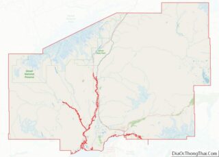
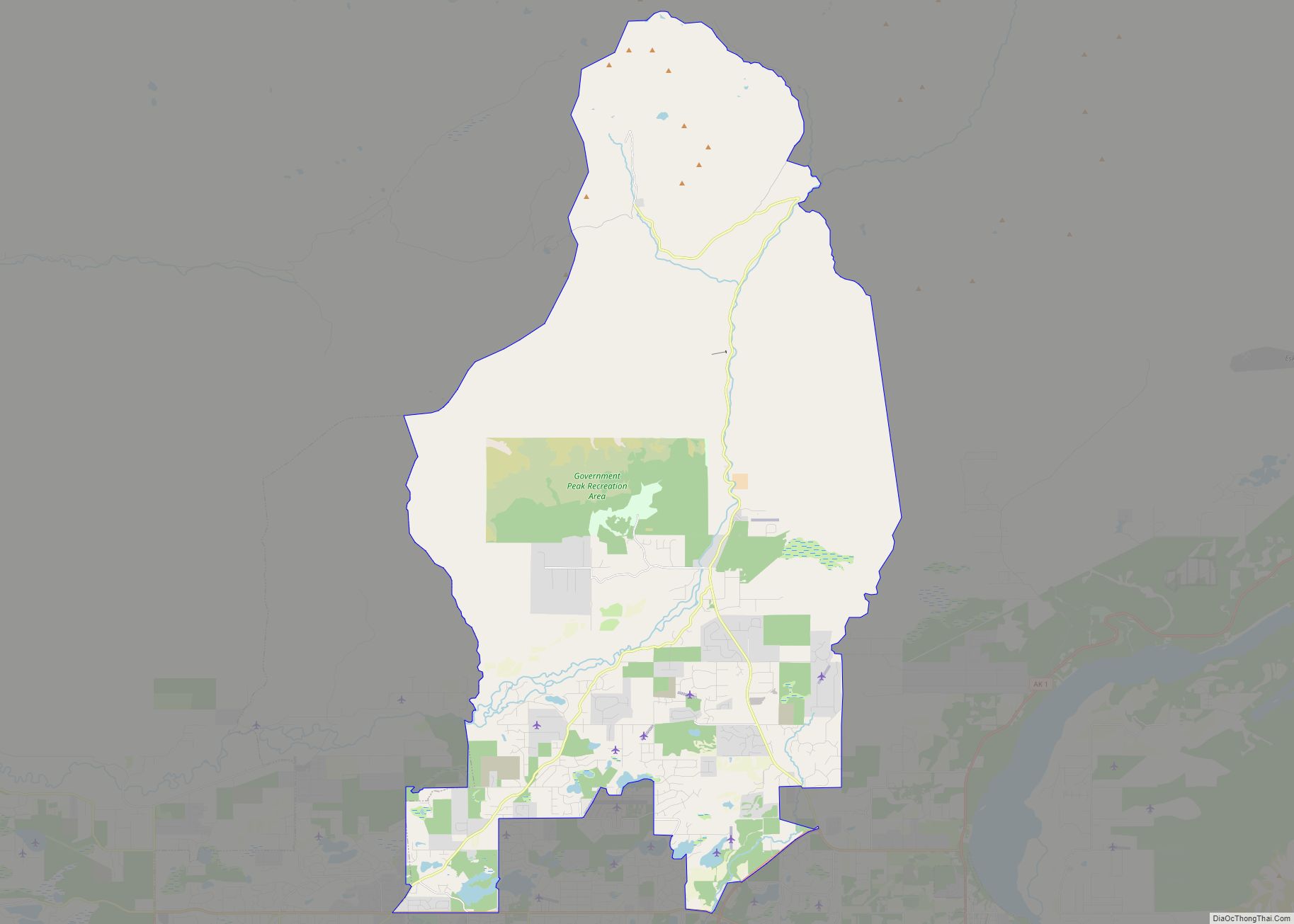
| County: | Matanuska-Susitna Borough |
| Incorporated: | April 30, 1951 |
| Elevation: | 233 ft (71 m) |
| Total Area: | 5.07 sq mi (13.14 km²) |
| Land Area: | 5.07 sq mi (13.14 km²) |
| Water Area: | 0.00 sq mi (0.00 km²) |
| Total Population: | 5,888 |
| Population Density: | 1,160.88/sq mi (448.25/km²) |
| ZIP code: | 99645 |
| Area code: | 907 |
| FIPS code: | 0258660 |
| GNISfeature ID: | 1407737 |
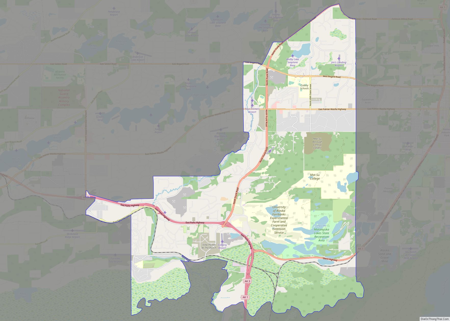
Online Interactive Map
Click on ![]() to view map in "full screen" mode.
to view map in "full screen" mode.
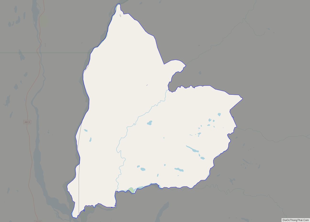
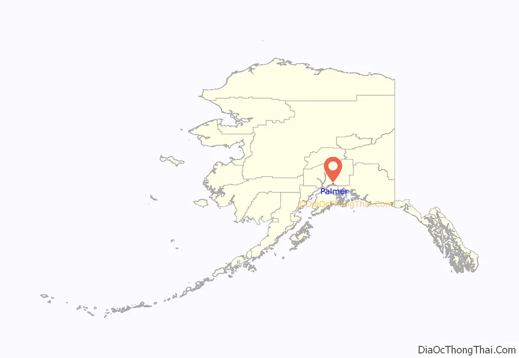
Palmer location map. Where is Palmer city?
History
The first people to live in the Matanuska Valley, where Palmer is located, were the Dena’ina and Ahtna Athabaskans. They moved throughout the area, living a subsistence lifestyle and trading with other native groups. Their trade routes were along the Matanuska River. Russians came to Alaska in 1741 and brought the Russian Orthodox religious tradition to the indigenous peoples of the region. In the early 1890s, an entrepreneur named George W. Palmer built a trading post on the Matanuska River, near present-day Palmer. The town was later named after Palmer.
In the late 19th century, the U.S. government began to take interest in the Matanuska coal fields located north of Palmer. This interest sparked financiers to consider constructing the Alaska Central Railroad in 1904. The advent of World War I created a need for high-quality coal to fuel U.S. battleships, and by 1917 the US Navy had constructed rail from the port of Seward to the Chickaloon coal deposits. At the end of World War I, the U.S. Navy distributed land in the coal fields to war veterans and additional land was opened to homesteading. Farmers, miners and homesteaders began to populate the area. The Palmer Post Office was opened July 6, 1917, under the name of Warton. With railroad accessibility, new markets for agriculture began to open up for farmers in the Matanuska Valley.
In one year, Palmer transformed from a mere whistle stop rail siding to a planned community with modern utilities and community services. Eleven million dollars from Federal Emergency Relief Administration was spent to create the town of Palmer and relocate 203 families from the hard hit Iron Range region of Michigan, Minnesota and Wisconsin. Families traveled by train and ship to Palmer, arriving in May 1935. Upon their arrival they were housed in a city tent during their first Alaskan summer. Each family drew lots for 40-acre (160,000 m) tracts and their farming adventure began in earnest. The failure rate was high, but many of their descendants still live in the area and there are still many operating farms in the Palmer area, including the Vanderwheele and Wolverine farms. In 1971, the National Outdoor Leadership School started operating wilderness education courses in the nearby Talkeetna and Chugach mountain ranges from a local historic farmhouse, the Berry House, which is currently listed on the National Register of Historic Places.
In addition to an agrarian heritage, the colony families brought with them Midwest America’s small-town values, institutional structures, and a well-planned city center reminiscent of their old hometowns in Minnesota, Wisconsin, and Michigan. Many of the structures built are now in a nationally recognized historic district. Construction of the statewide road system and the rapid development of Anchorage has fueled growth around Palmer. Many Palmer residents commute 45 minutes to work in Anchorage.
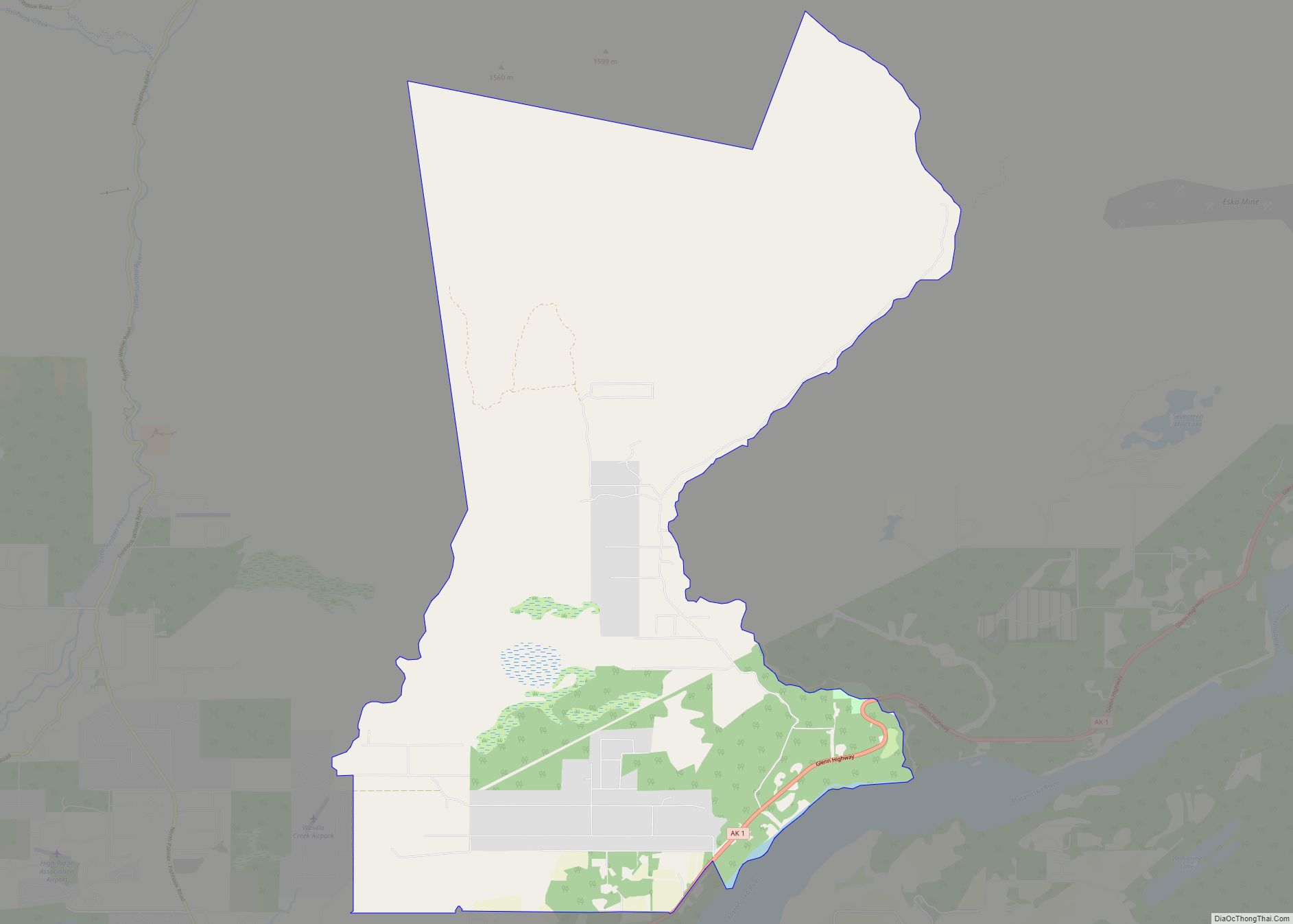
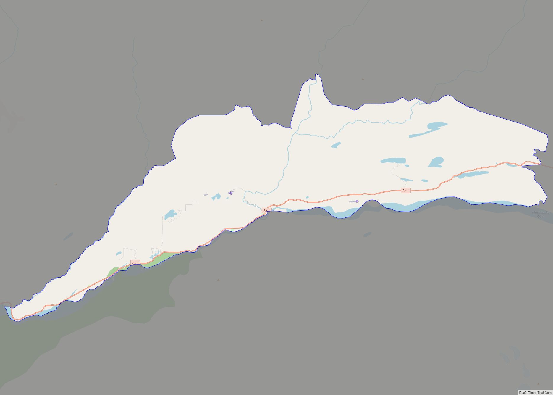
Palmer Road Map
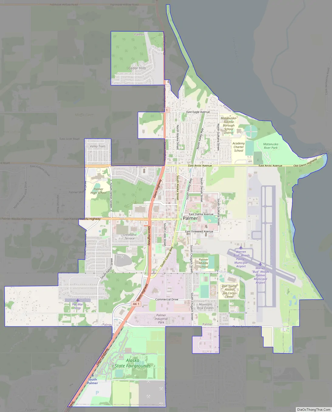
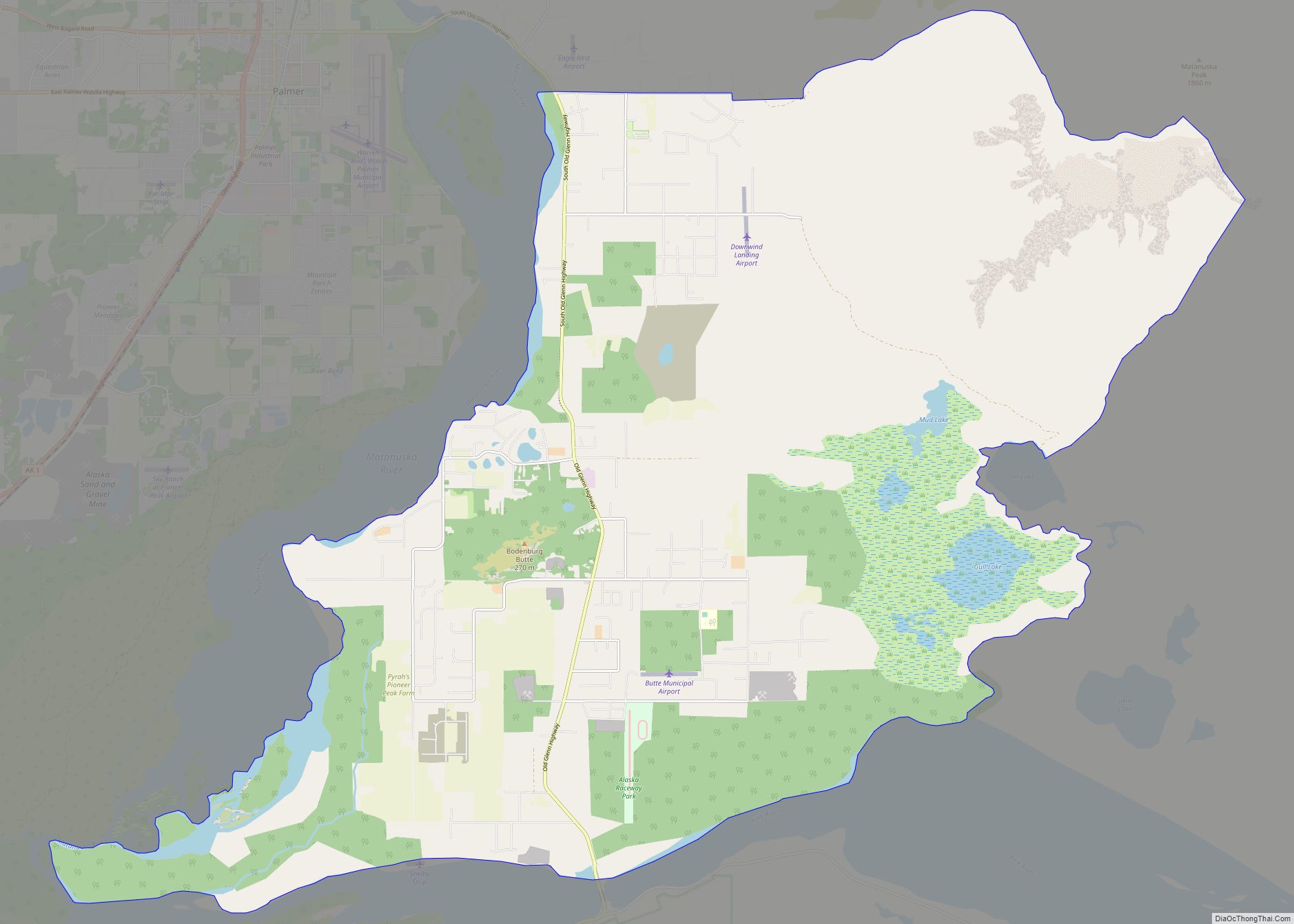
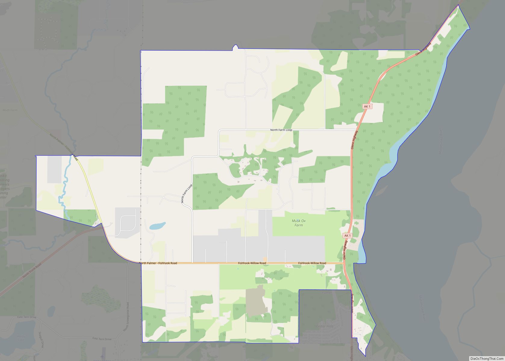
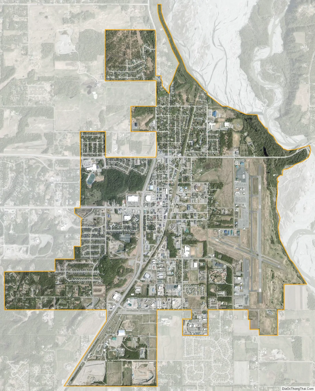
Palmer city Satellite Map
Geography
Palmer is located at 61°36′7″N 149°7′2″W / 61.60194°N 149.11722°W / 61.60194; -149.11722 (61.601879, −149.117351).
Palmer is 42 miles (68 km) northeast of Anchorage on the Glenn Highway. It lies on the north shore of the Matanuska River, not far above tidewater, in a wide valley between the Talkeetna Mountains to the north and the Chugach Mountains to the south and east. Pioneer Peak rises over 6,000 feet (1,800 m) above the town, just a few miles south. East of Palmer is Lazy Mountain, and standing behind that is Matanuska Peak. Lazy Mountain, Matanuska Peak, and Pioneer Peak are all a part of the Chugach Range. North of Palmer are the Talkeetna Mountains. Hatcher Pass, a local favorite for hiking, skiing and other recreational activities, is located in this mountain range about 22 mi (35 km) from Palmer.
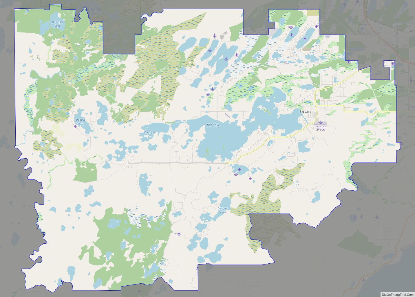
According to the United States Census Bureau, the city has a total area of 3.8 square miles (9.8 km), all of it land. Palmer and Wasilla are the two major old-town cores of the Matanuska-Susitna Valley. Population of the area has grown dramatically in the past decade; Borough officials estimate the local population at 8,000.
Apart from road access, Palmer can be accessed by the Palmer Municipal Airport and the Palmer Depot of the Alaska Railroad. Neither of these have regularly scheduled service. However, when the Alaska State Fair operates, the Alaska Railroad operates a special train from Anchorage to Palmer (though it does not operate in 2021).
Climate
Palmer has a subarctic climate (Köppen climate classification: Dsc). Despite this classification, the city receives noticeably more precipitation in summer, with August being the wettest month. However, April, one of the six warmer months is sufficiently drier than October and December, hence the letter ‘s’ is used instead of ‘f’ (as in Dfc).
Palmer has a climate similar to that of Anchorage, although with low temperatures that are on average 1.4 °F (0.8 °C) cooler and highs 0.8 °F (0.4 °C) warmer. On average, over the course of a year, there are 28–29 days of sub-0 °F (−18 °C) lows, 22–23 days of 70 °F (21 °C)+ highs, and 0.8 days of 80 °F (27 °C)+ highs. The town straddles the border between USDA Plant Hardiness Zones 4b and 5a, indicating the coldest temperature of the year is typically around −20 °F (−29 °C). Palmer is flanked by two glaciers, the Matanuska Glacier and the Knik Glacier. Wind blows through the Matanuska and Knik River Valleys into the town frequently. If there is a substantial snowfall, it will often sit for several days before most of it is blown away. These warm winds can raise winter temperatures for a couple days at a time, and are often called Chinook winds by the local people.
See also
Map of Alaska State and its subdivision:- Aleutians East
- Aleutians West
- Anchorage
- Bethel
- Bristol Bay
- Denali
- Dillingham
- Fairbanks North Star
- Haines
- Juneau
- Kenai Peninsula
- Ketchikan Gateway
- Kodiak Island
- Lake and Peninsula
- Matanuska-Susitna
- Nome
- North Slope
- Northwest Arctic
- Prince of Wales-Outer Ketchi
- Sitka
- Skagway-Yakutat-Angoon
- Southeast Fairbanks
- Valdez-Cordova
- Wade Hampton
- Wrangell-Petersburg
- Yukon-Koyukuk
- Alabama
- Alaska
- Arizona
- Arkansas
- California
- Colorado
- Connecticut
- Delaware
- District of Columbia
- Florida
- Georgia
- Hawaii
- Idaho
- Illinois
- Indiana
- Iowa
- Kansas
- Kentucky
- Louisiana
- Maine
- Maryland
- Massachusetts
- Michigan
- Minnesota
- Mississippi
- Missouri
- Montana
- Nebraska
- Nevada
- New Hampshire
- New Jersey
- New Mexico
- New York
- North Carolina
- North Dakota
- Ohio
- Oklahoma
- Oregon
- Pennsylvania
- Rhode Island
- South Carolina
- South Dakota
- Tennessee
- Texas
- Utah
- Vermont
- Virginia
- Washington
- West Virginia
- Wisconsin
- Wyoming