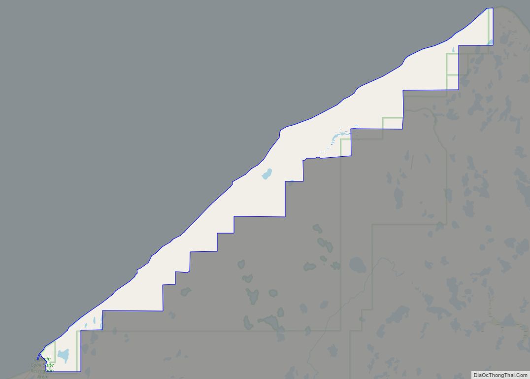
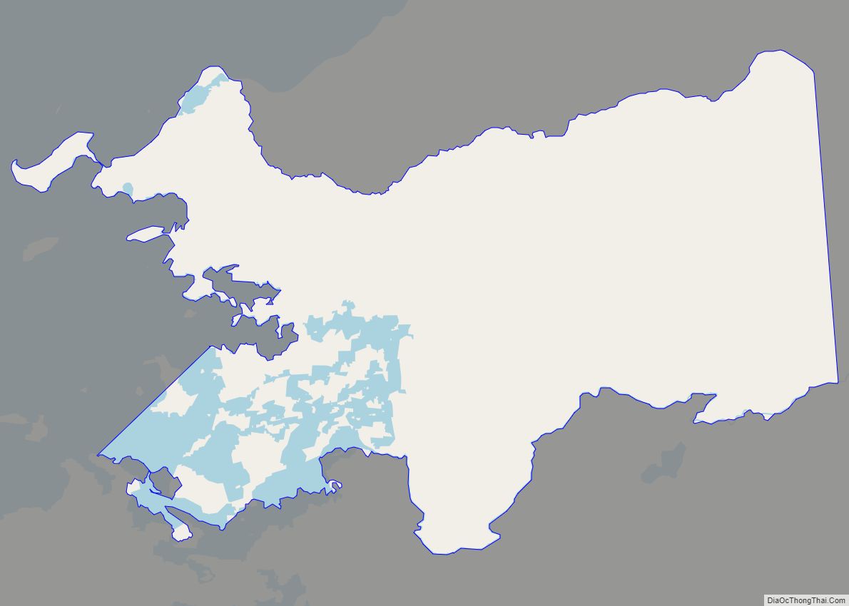
Point Possession (Dena’ina: Tuyqun or Ch’aghałnikt) is a census-designated place (CDP) on the Kenai Peninsula in Alaska. According to the 2020 census, the CDP population was 9. Since 2009, Point Possession has been owned by the federal government and has been made a part of the Kenai National Wildlife Refuge. Point Possession CDP overview: Name: ... Read more
Alaska Cities and Places
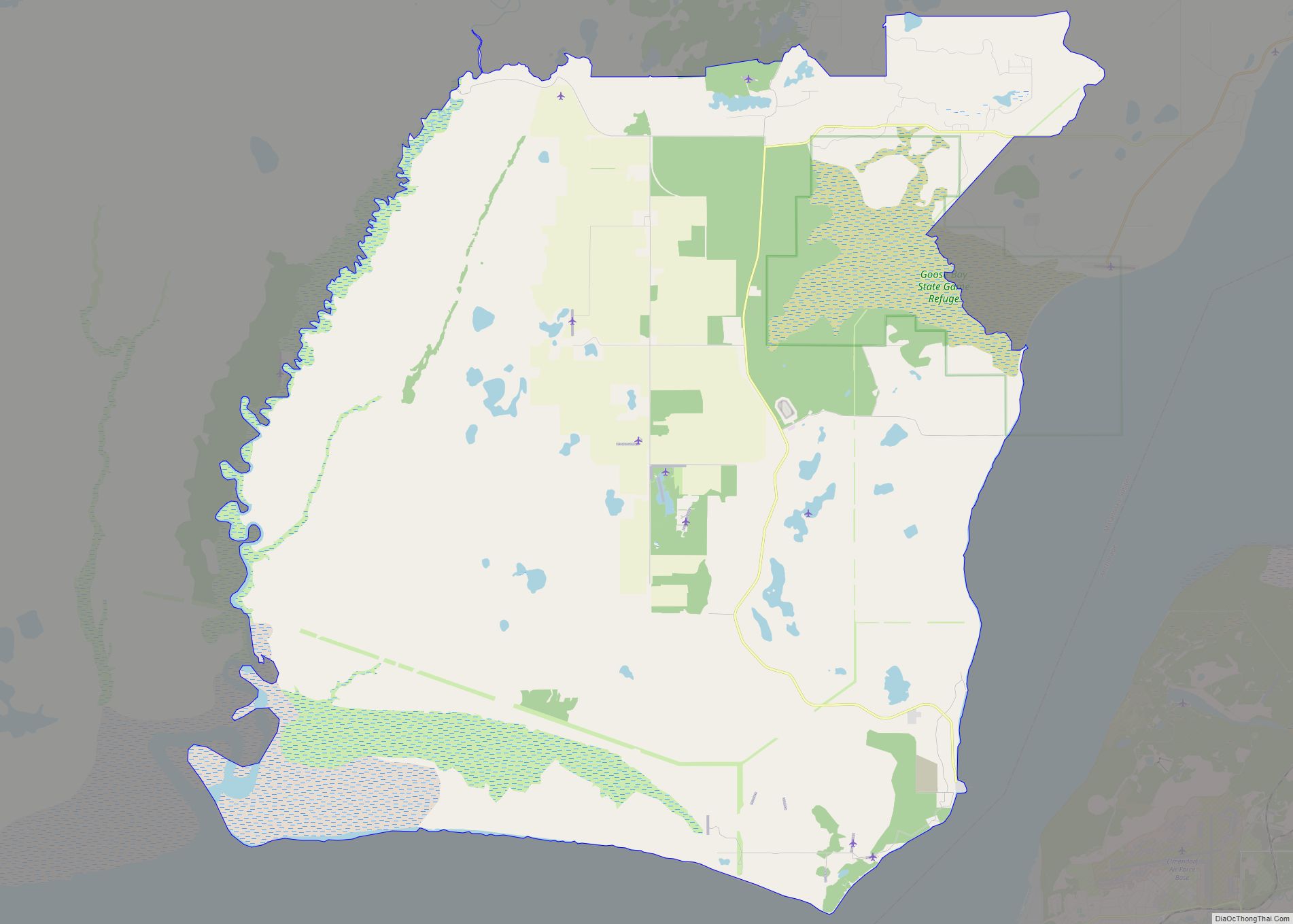
Point MacKenzie is a census-designated place (CDP) in Matanuska-Susitna Borough, Alaska, United States. It is part of the Anchorage, Alaska Metropolitan Statistical Area. At the 2020 census the population was 1,852, up from 529 in 2010. Point MacKenzie CDP overview: Name: Point MacKenzie CDP LSAD Code: 57 LSAD Description: CDP (suffix) State: Alaska County: Matanuska-Susitna ... Read more
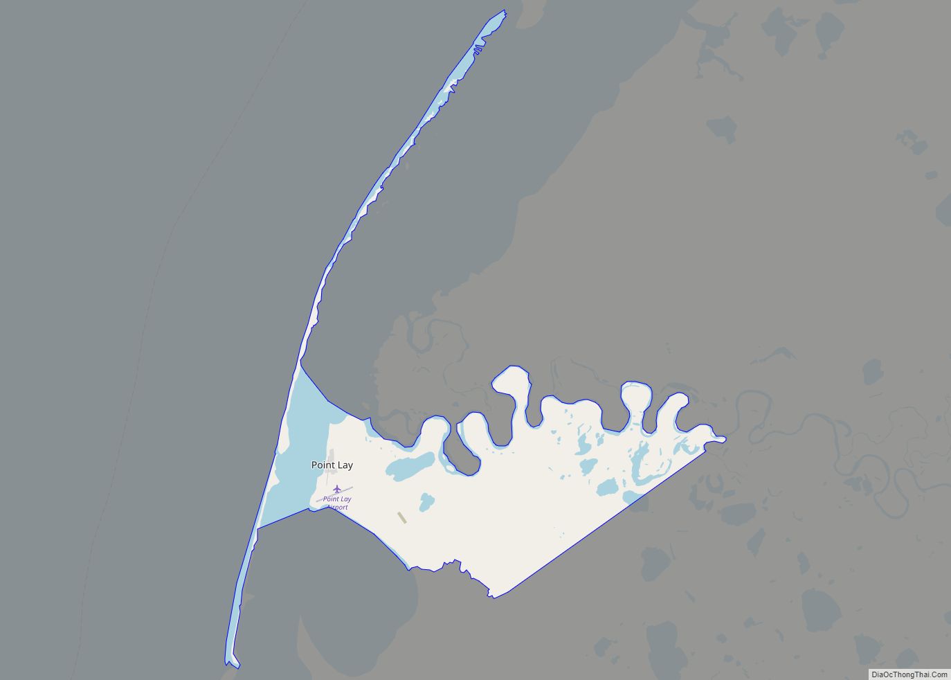
Point Lay (Kali in Inupiaq- “Mound”) is a census-designated place (CDP) in North Slope Borough, Alaska, United States. At the 2020 census the population was 330, up from 189 in 2010. Point Lay CDP overview: Name: Point Lay CDP LSAD Code: 57 LSAD Description: CDP (suffix) State: Alaska County: North Slope Borough Total Area: 32.29 sq mi ... Read more
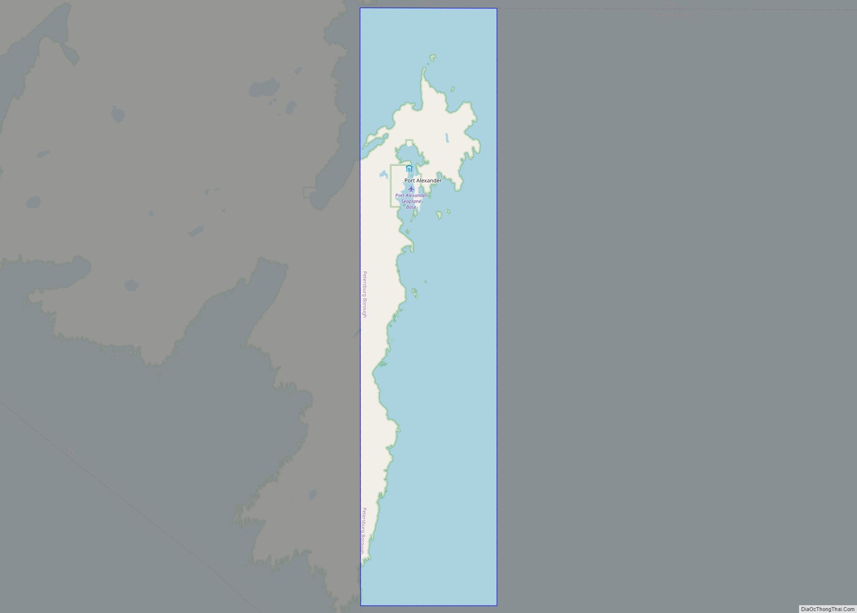
Port Alexander (Lingít: Shee Yat’aḵ.aan) is a city at the southeastern corner of Baranof Island in Prince of Wales-Hyder Census Area, Alaska, United States. At the 2010 census the population was 52, down from 81 in 2000. Port Alexander city overview: Name: Port Alexander city LSAD Code: 25 LSAD Description: city (suffix) State: Alaska County: ... Read more
Pope-Vannoy Landing is a census-designated place (CDP) in the Lake and Peninsula Borough in the U.S. state of Alaska. The population was six at the 2020 census, same amount as in 2010. Pope-Vannoy Landing CDP overview: Name: Pope-Vannoy Landing CDP LSAD Code: 57 LSAD Description: CDP (suffix) State: Alaska County: Lake and Peninsula Borough Total ... Read more
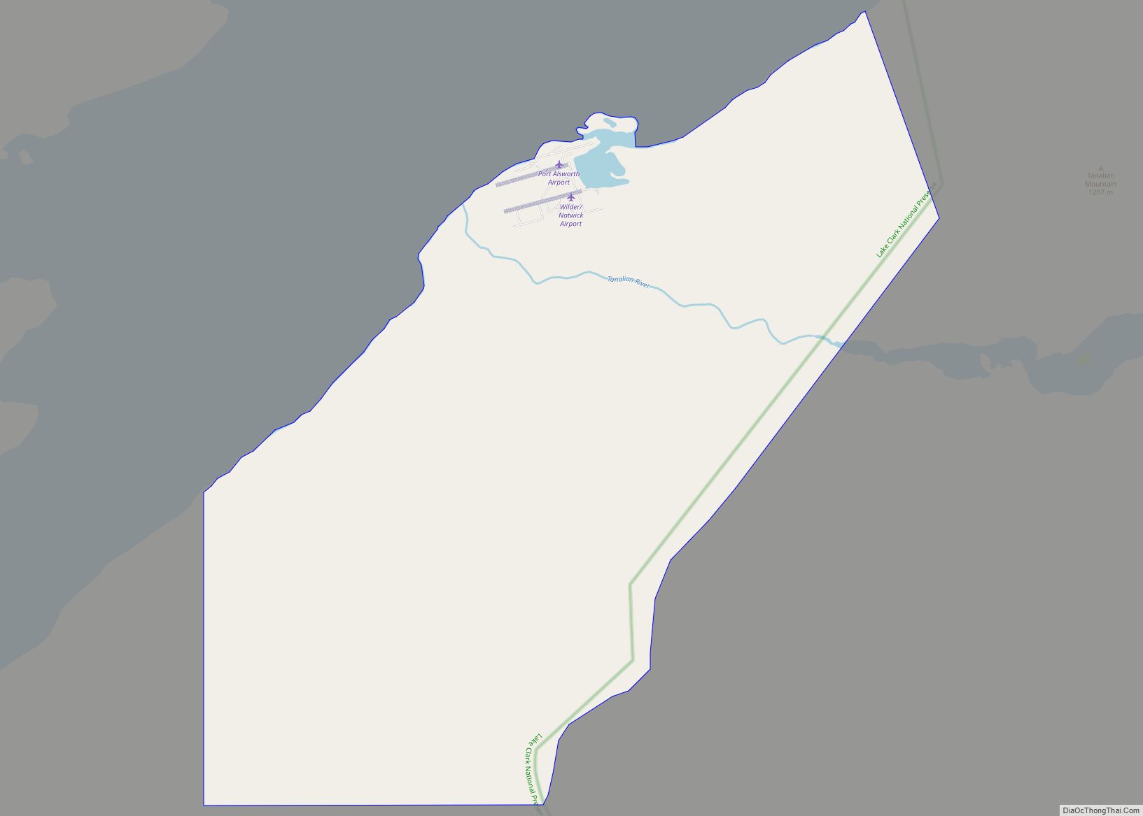
Port Alsworth is a census-designated place (CDP) in Lake and Peninsula Borough, Alaska, United States. It is 165 miles (266 km) by air southwest of Anchorage. The population was 186 at the 2020 census, up from 159 in 2010. It is the most populated community in the borough. Port Alsworth was founded in 1950 by Babe ... Read more
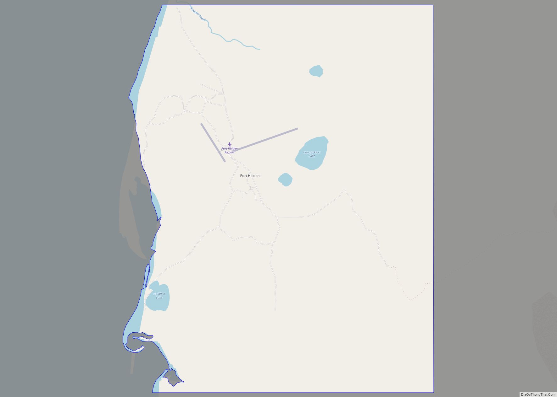
Port Heiden (Alutiiq: Masrriq) is a city in Lake and Peninsula Borough, Alaska, United States. As of the 2020 census, the population of the city is 100, slightly down from 102 in 2010. Port Heiden city overview: Name: Port Heiden city LSAD Code: 25 LSAD Description: city (suffix) State: Alaska County: Lake and Peninsula Borough ... Read more
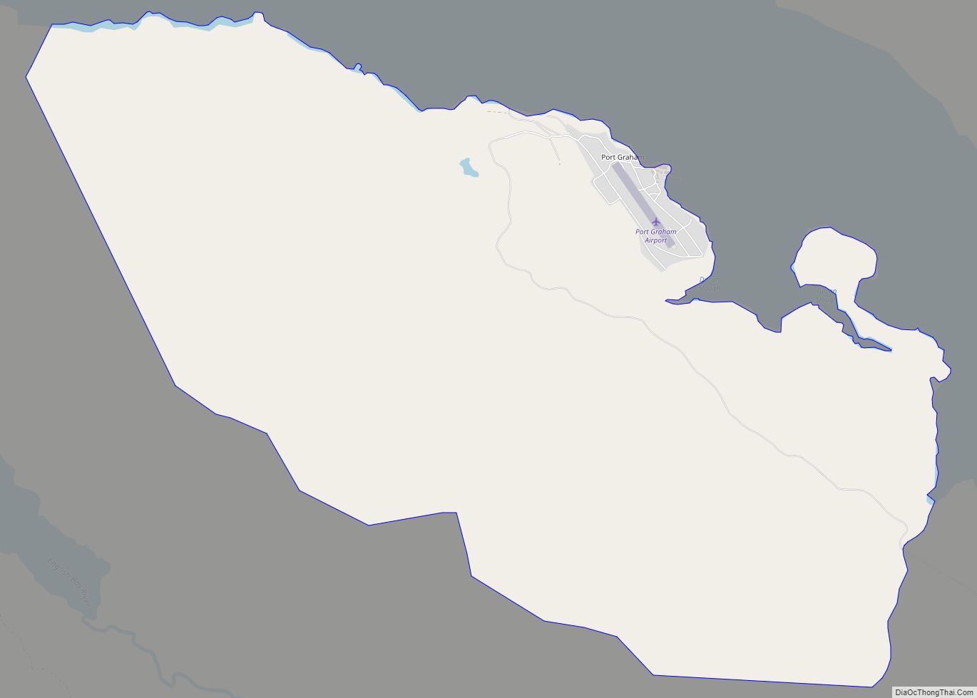
Port Graham, also known as Paluwik (pah-LU-wig) in the Alutiiq language, is a census-designated place (CDP) in Kenai Peninsula Borough, Alaska, United States. At the 2020 census, the population was 162. Port Graham CDP overview: Name: Port Graham CDP LSAD Code: 57 LSAD Description: CDP (suffix) State: Alaska County: Kenai Peninsula Borough Elevation: 20 ft (6 m) ... Read more
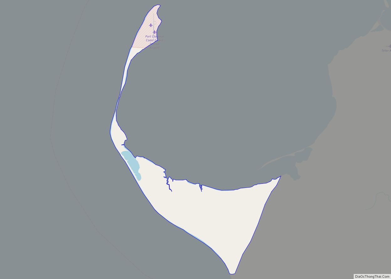
Port Clarence is a census-designated place (CDP) in Nome Census Area, Alaska. The population was 24 at the 2010 census, up from 21 in 2000. It is located on the spit separating Port Clarence Bay from the Bering Strait. Port Clarence CDP overview: Name: Port Clarence CDP LSAD Code: 57 LSAD Description: CDP (suffix) State: ... Read more
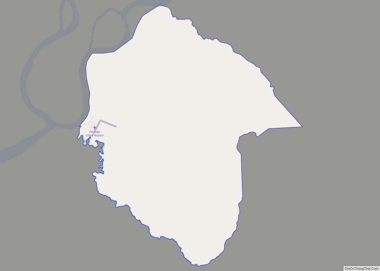
Portage Creek is a census-designated place (CDP) in Dillingham Census Area, Alaska, United States. The population was 2 at the 2010 census, down from 36 at the 2000 census. Portage Creek CDP overview: Name: Portage Creek CDP LSAD Code: 57 LSAD Description: CDP (suffix) State: Alaska County: Dillingham Census Area Elevation: 40 ft (10 m) Total Area: ... Read more
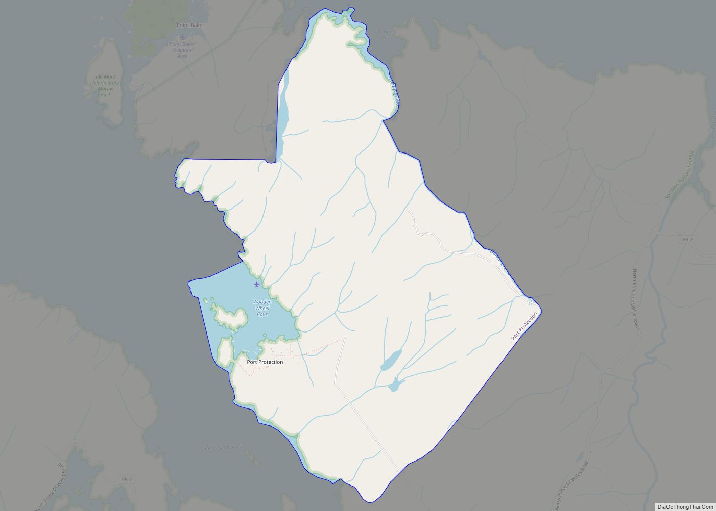
Port Protection (Lingít: Kél) is a census-designated place (CDP) in Prince of Wales-Hyder Census Area, Alaska, United States. The population was 36 at the 2020 census, down from 48 in 2010 census. Port Protection CDP overview: Name: Port Protection CDP LSAD Code: 57 LSAD Description: CDP (suffix) State: Alaska County: Prince of Wales-Hyder Census Area ... Read more
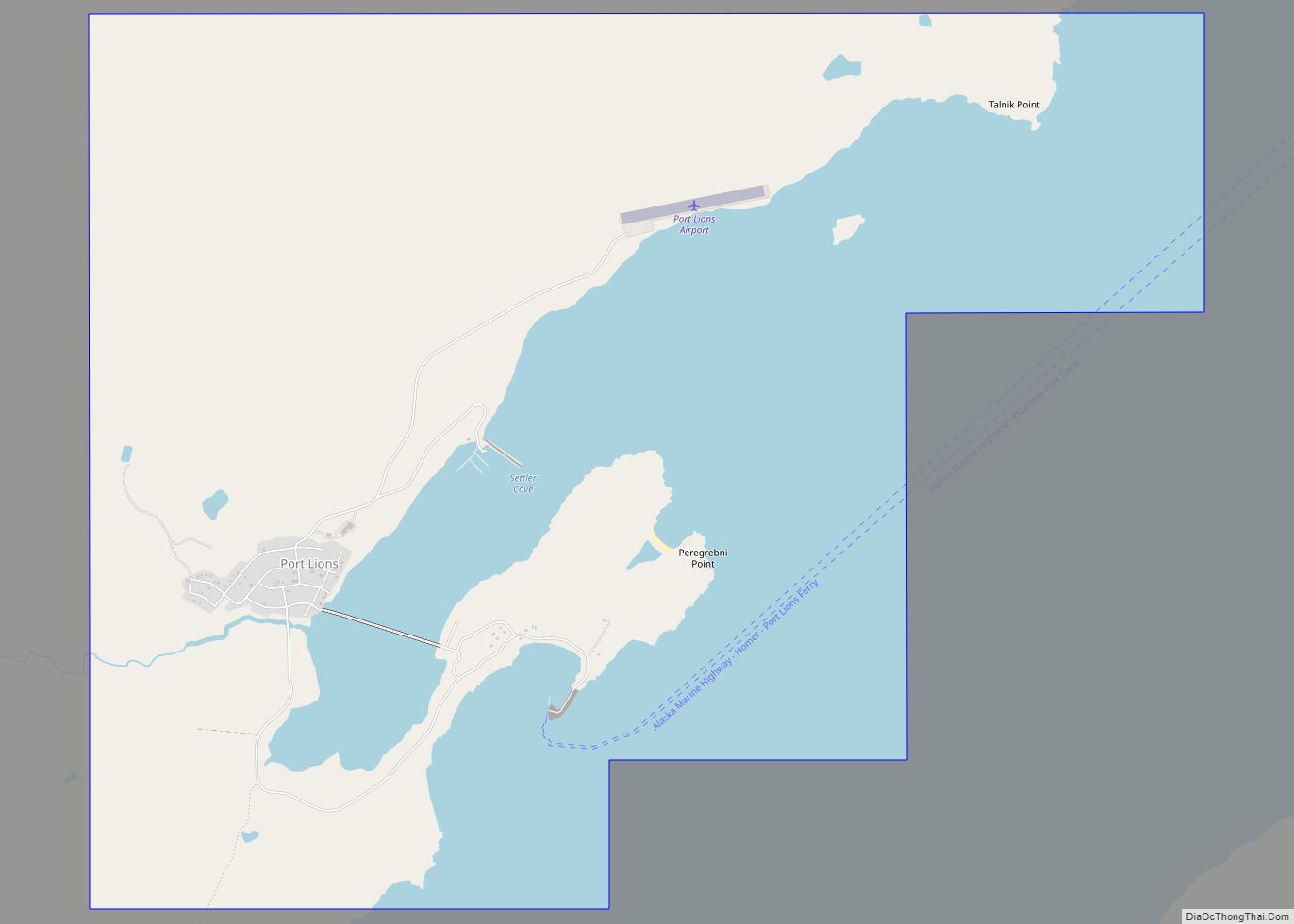
Port Lions (Masiqsirraq in Alutiiq) is a city located on Kodiak Island in the Kodiak Island Borough of the U.S. state of Alaska. As of the 2010 census, the population of the city was 194, down from 256 in 2000. Port Lions was built to house the inhabitants of Ag’waneq from the neighboring island of ... Read more
