Port Alsworth is a census-designated place (CDP) in Lake and Peninsula Borough, Alaska, United States. It is 165 miles (266 km) by air southwest of Anchorage. The population was 186 at the 2020 census, up from 159 in 2010. It is the most populated community in the borough.
Port Alsworth was founded in 1950 by Babe Alsworth, a missionary and bush pilot, and Mary Alsworth, who was the town’s first postmaster.
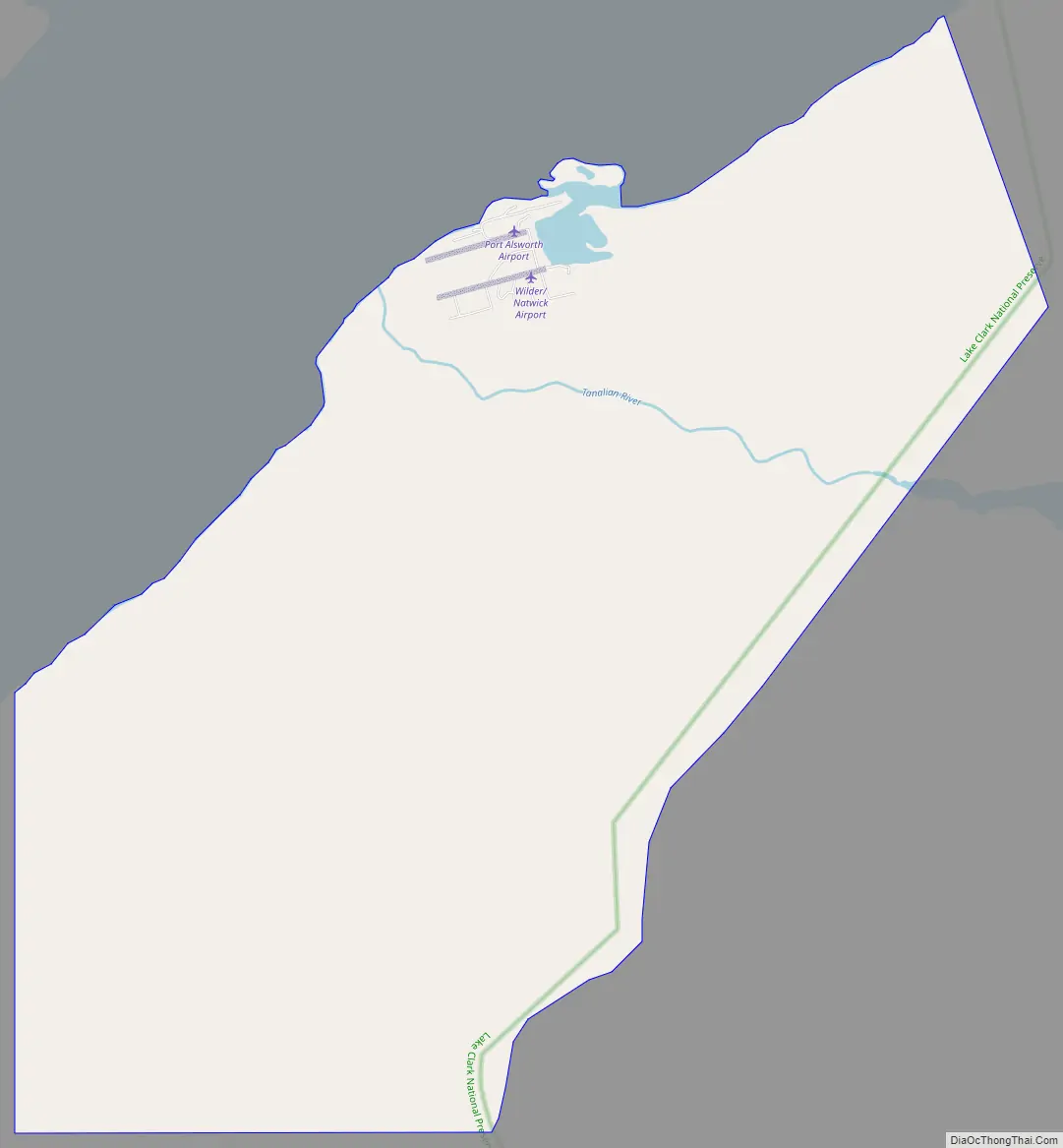
Port Alsworth is located on private land within Lake Clark National Park and Preserve and is the site of the national park’s field headquarters.
Samaritan’s Purse operates a lodge for wounded United States military veterans located within the town for “Operation Heal Our Patriots” (OHOP). There is also a summer camp called “Tanalian Bible Camp” where youth, ages 8–19, from the surrounding villages can attend.
From the summer of 2013 to the spring of 2014, the local Tanalian School underwent renovation and a dearly needed expansion. The renovation involved tripling school square footage, all new furniture, and doubling the size of the gym.
| Name: | Port Alsworth CDP |
|---|---|
| LSAD Code: | 57 |
| LSAD Description: | CDP (suffix) |
| State: | Alaska |
| County: | Lake and Peninsula Borough |
| Elevation: | 253 ft (77 m) |
| Total Area: | 22.71 sq mi (58.81 km²) |
| Land Area: | 22.56 sq mi (58.43 km²) |
| Water Area: | 0.15 sq mi (0.39 km²) |
| Total Population: | 186 |
| Population Density: | 8.25/sq mi (3.18/km²) |
| ZIP code: | 99653 |
| Area code: | 907 |
| FIPS code: | 0262620 |
| GNISfeature ID: | 1408208 |
Online Interactive Map
Click on ![]() to view map in "full screen" mode.
to view map in "full screen" mode.
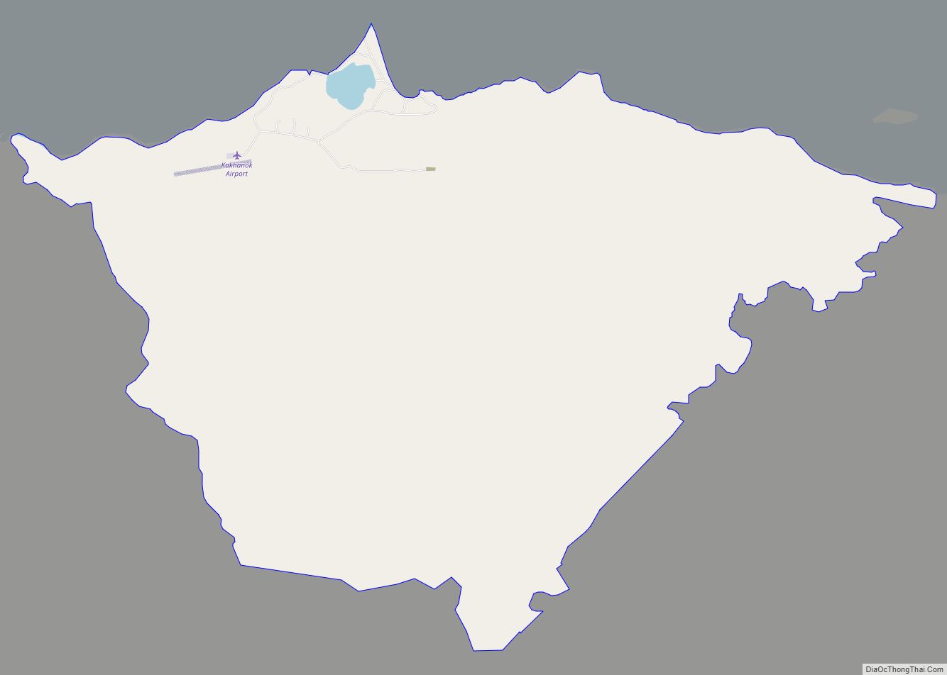
Port Alsworth location map. Where is Port Alsworth CDP?

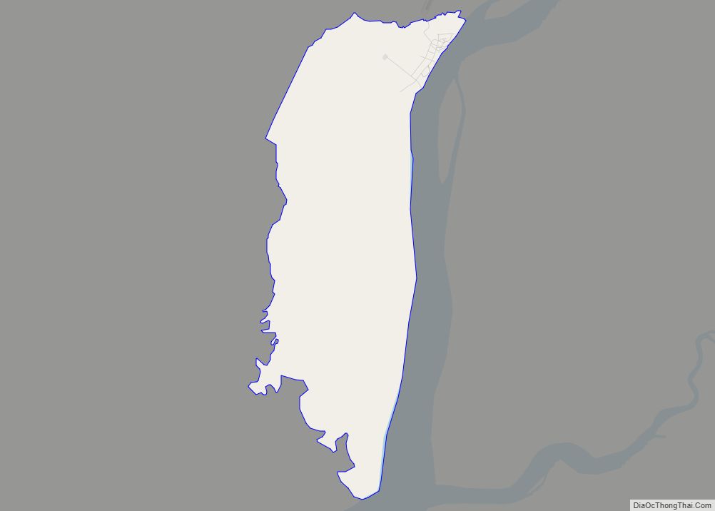
Port Alsworth Road Map
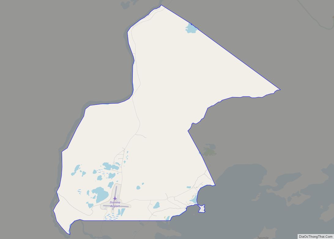
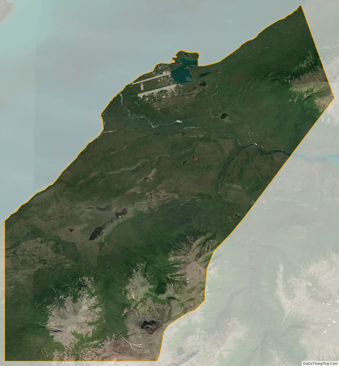
Port Alsworth city Satellite Map
Geography
Port Alsworth is located in northern Lake and Peninsula Borough at 60°12′30″N 154°18′24″W / 60.20833°N 154.30667°W / 60.20833; -154.30667 (60.208281, -154.306586). It sits on the south shore of Lake Clark at the mouth of the Tanalian River.
According to the United States Census Bureau, the CDP has a total area of 22.7 square miles (58.8 km), of which 22.64 square miles (58.65 km) are land and 0.06 square miles (0.16 km), or 0.27%, are water.
See also
Map of Alaska State and its subdivision:- Aleutians East
- Aleutians West
- Anchorage
- Bethel
- Bristol Bay
- Denali
- Dillingham
- Fairbanks North Star
- Haines
- Juneau
- Kenai Peninsula
- Ketchikan Gateway
- Kodiak Island
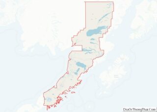
- Lake and Peninsula
- Matanuska-Susitna
- Nome
- North Slope
- Northwest Arctic
- Prince of Wales-Outer Ketchi
- Sitka
- Skagway-Yakutat-Angoon
- Southeast Fairbanks
- Valdez-Cordova
- Wade Hampton
- Wrangell-Petersburg
- Yukon-Koyukuk
- Alabama
- Alaska
- Arizona
- Arkansas
- California
- Colorado
- Connecticut
- Delaware
- District of Columbia
- Florida
- Georgia
- Hawaii
- Idaho
- Illinois
- Indiana
- Iowa
- Kansas
- Kentucky
- Louisiana
- Maine
- Maryland
- Massachusetts
- Michigan
- Minnesota
- Mississippi
- Missouri
- Montana
- Nebraska
- Nevada
- New Hampshire
- New Jersey
- New Mexico
- New York
- North Carolina
- North Dakota
- Ohio
- Oklahoma
- Oregon
- Pennsylvania
- Rhode Island
- South Carolina
- South Dakota
- Tennessee
- Texas
- Utah
- Vermont
- Virginia
- Washington
- West Virginia
- Wisconsin
- Wyoming