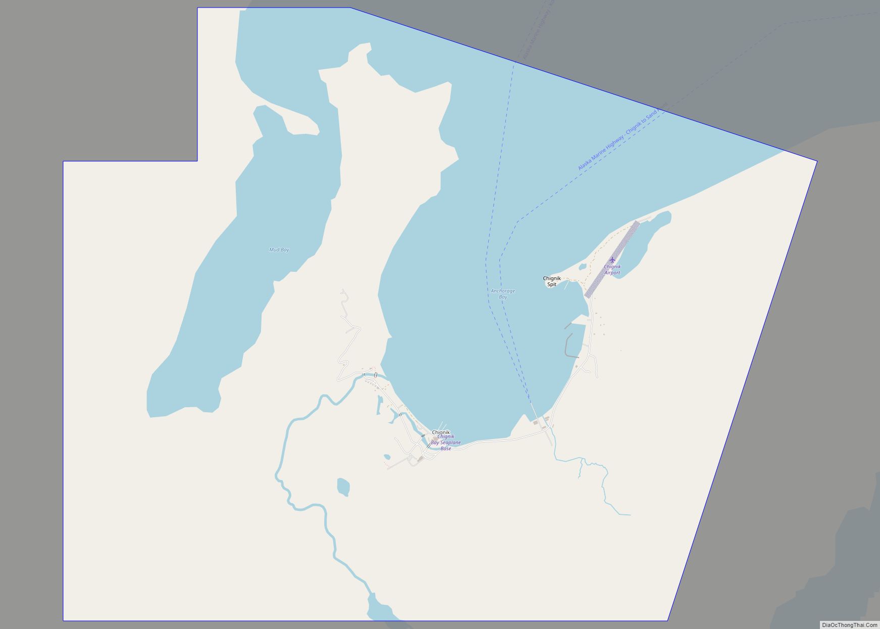
Chignik (Alutiiq: Cirniq) is a city in Lake and Peninsula Borough, Alaska, United States. It is two hundred and fifty miles southwest of Kodiak. At the 2020 census the population was 97, up from 91 in 2010. Chignik city overview: Name: Chignik city LSAD Code: 25 LSAD Description: city (suffix) State: Alaska County: Lake and ... Read more
Alaska Cities and Places
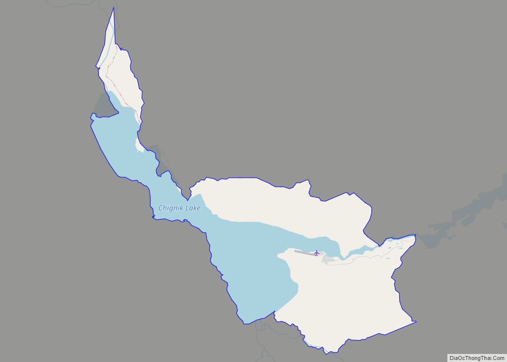
Chignik Lake (Alutiiq: Igyaraq; Russian: Чигник-Лейк) is a census-designated place (CDP) in Lake and Peninsula Borough, Alaska, United States. It is 475 miles (764 km) southwest of Anchorage. At the 2020 census, the population was 61. Chignik Lake CDP overview: Name: Chignik Lake CDP LSAD Code: 57 LSAD Description: CDP (suffix) State: Alaska County: Lake and ... Read more
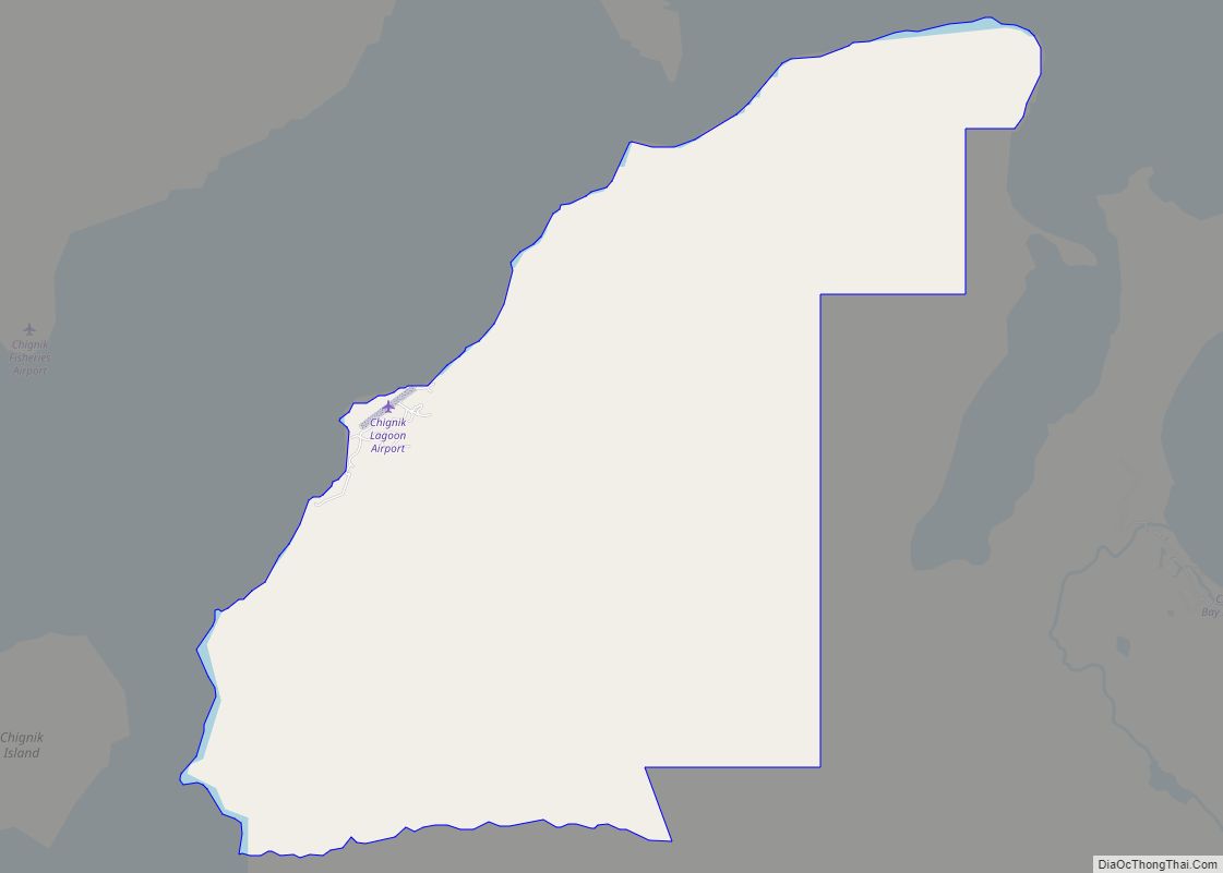
Chignik Lagoon (Alutiiq: Nanwarnaq) is a census-designated place (CDP) in Lake and Peninsula Borough, Alaska, United States. At the 2020 census, the population was 72. Chignik Lagoon CDP overview: Name: Chignik Lagoon CDP LSAD Code: 57 LSAD Description: CDP (suffix) State: Alaska County: Lake and Peninsula Borough Total Area: 13.25 sq mi (34.32 km²) Land Area: 13.25 sq mi (34.32 km²) ... Read more
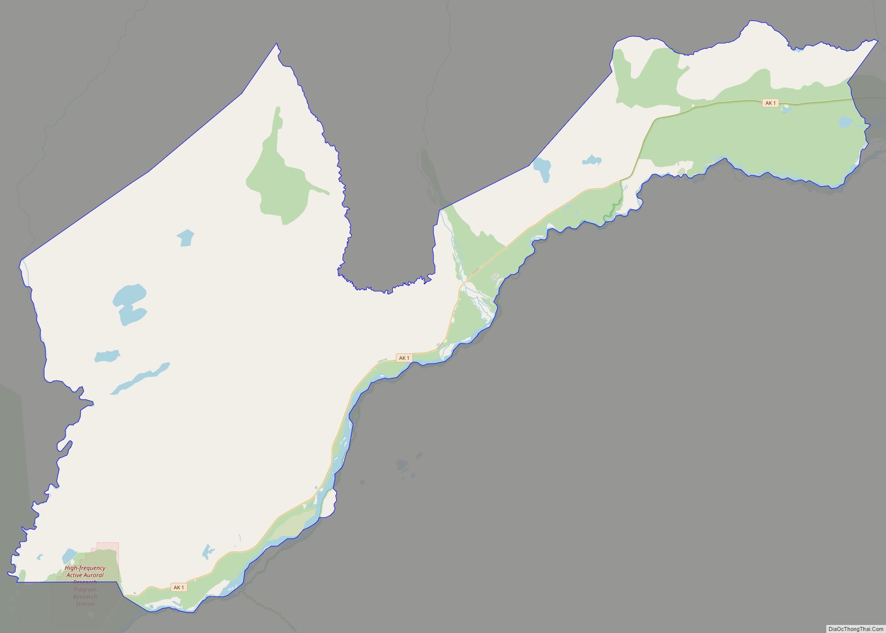
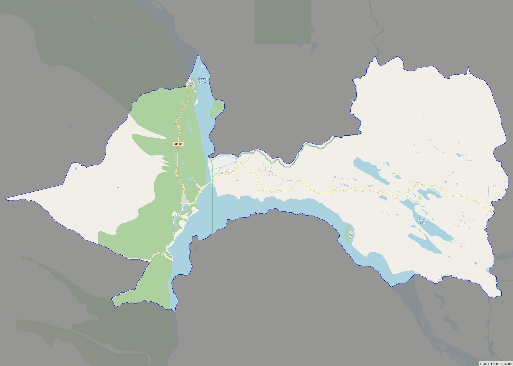
Chistochina (Tsiis Tl’edze’ Caegge in Ahtna Athabascan) is a census-designated place (CDP) in Copper River Census Area, Alaska, United States. At the 2020 census the population was 60, down from 93 in 2010. Chistochina CDP overview: Name: Chistochina CDP LSAD Code: 57 LSAD Description: CDP (suffix) State: Alaska County: Valdez-Cordova Census Area Total Area: 368.79 sq mi ... Read more
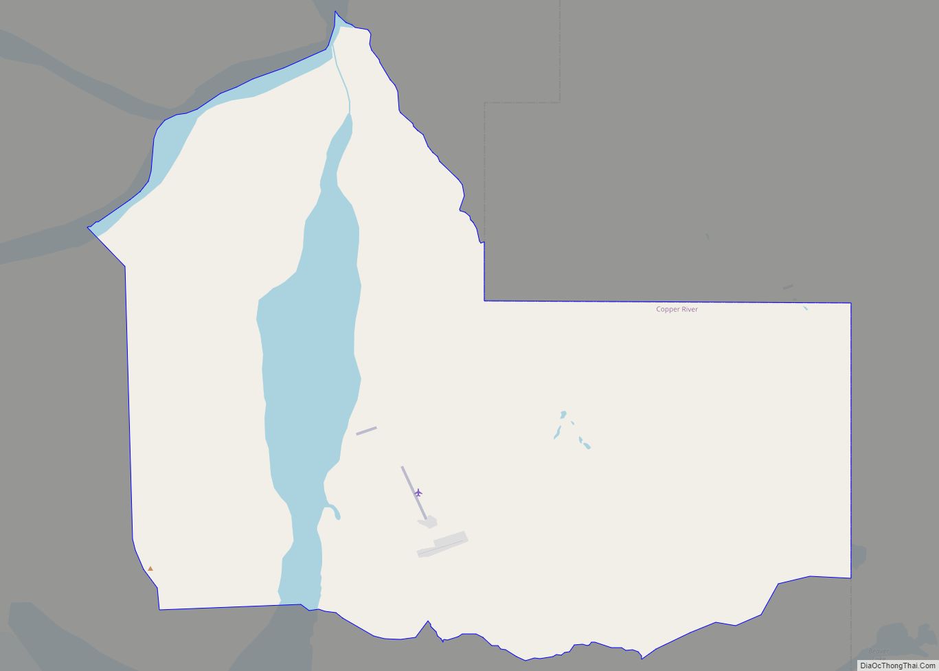
Chisana (also Shushanna) (Tsetsaan’ Na in Ahtna) is a census-designated place (CDP) in the Copper River Census Area in the U.S. state of Alaska. As of the 2010 Census, the population of the CDP was 0. The English name Chisana derives from the Ahtna Athabascan name Tsetsaan’ Na, meaning literally ‘copper river’ (not to be ... Read more
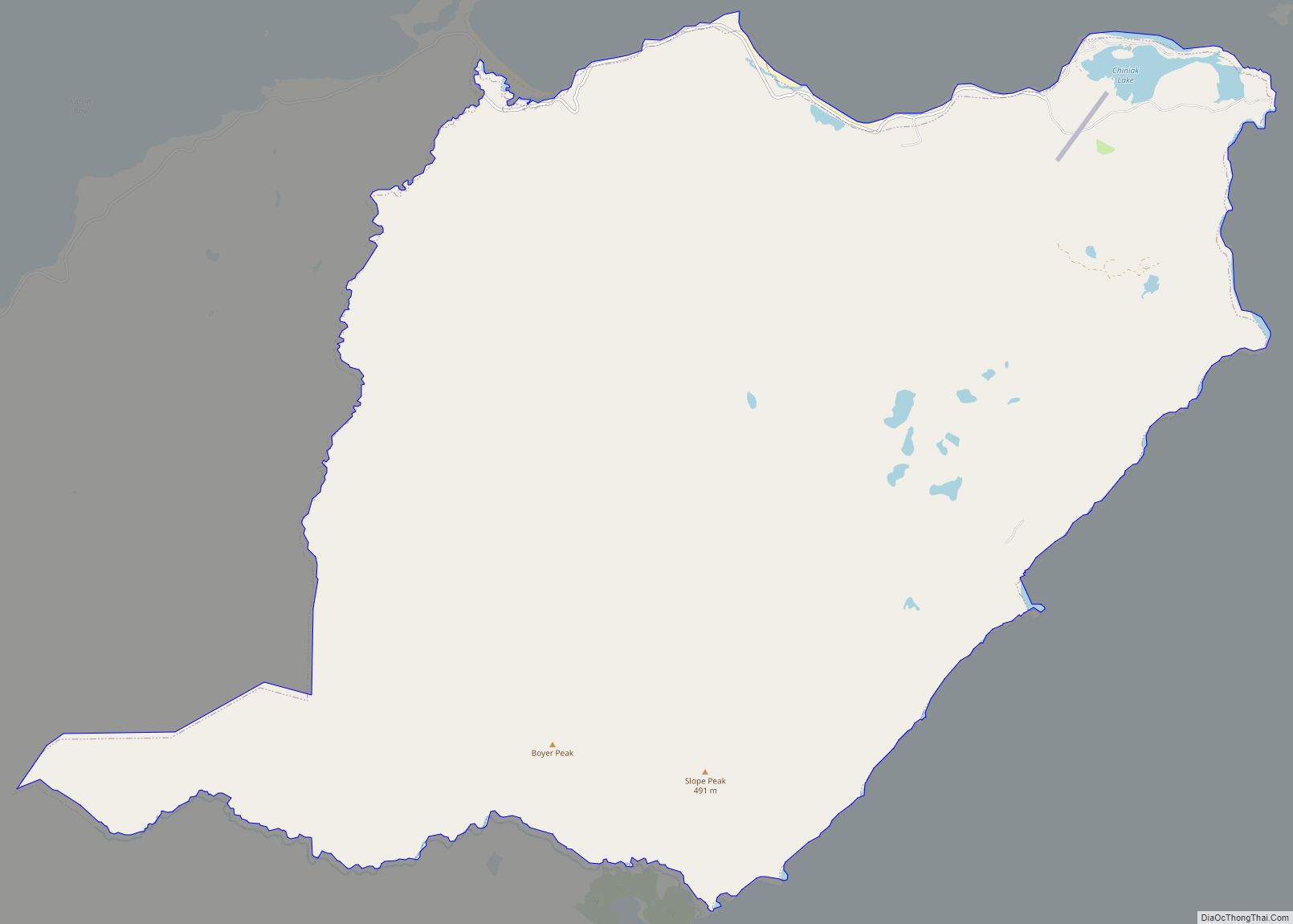
Chiniak (Cing’iyak in Alutiiq) is a census-designated place (CDP) in Kodiak Island Borough, Alaska, United States. The population was 47 at the 2010 census, down from 50 in 2000. Chiniak CDP overview: Name: Chiniak CDP LSAD Code: 57 LSAD Description: CDP (suffix) State: Alaska County: Kodiak Island Borough Elevation: 0 ft (0 m) Total Area: 38.80 sq mi (100.48 km²) ... Read more
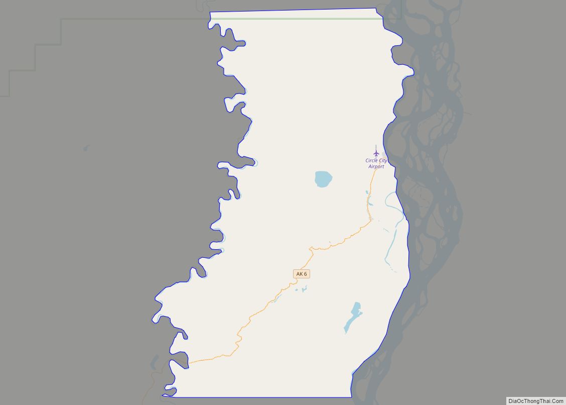
Circle (also called Circle City; Gwichʼin: Danzhit Khànląįį) is a census-designated place (CDP) in Yukon-Koyukuk Census Area, Alaska, United States. At the 2010 census the population was 104, up from 100 in 2000. Circle is 160 mi (260 km) northeast of Fairbanks at the end of the Steese Highway. Circle was named by miners in the late ... Read more
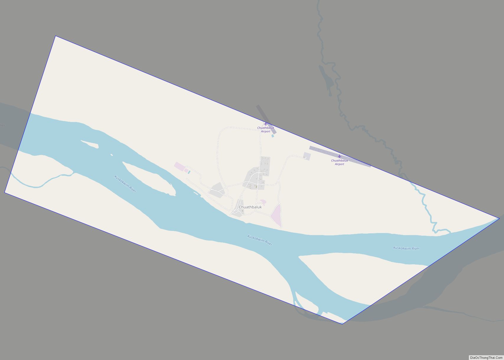
Chuathbaluk (Central Yupik: Curarpalek) is a city in Bethel Census Area, Alaska, United States. At the 2010 census the population was 118, down from 119 in 2000. Chuathbaluk city overview: Name: Chuathbaluk city LSAD Code: 25 LSAD Description: city (suffix) State: Alaska County: Bethel Census Area Incorporated: 1975 Elevation: 154 ft (47 m) Total Area: 6.22 sq mi (16.12 km²) ... Read more
Chitina (Ahtna Athabascan Tsedi Na’ [tʃɛ.diː.näʔ] < tsedi “copper” + na’ “river”) is a census-designated place (CDP) in Copper River Census Area, Alaska, United States. At the 2010 census the population was 126, up from 123 in 2000. Chitina CDP overview: Name: Chitina CDP LSAD Code: 57 LSAD Description: CDP (suffix) State: Alaska County: Valdez-Cordova ... Read more
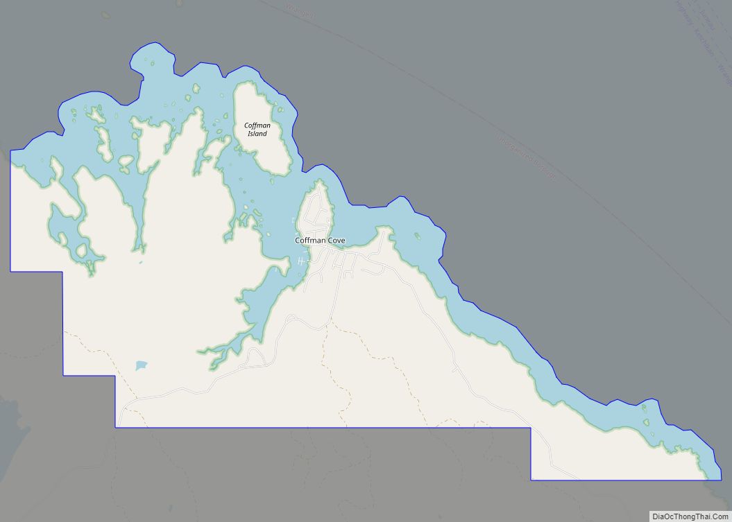
Coffman Cove (Lingít: Tatxánk) is a city in Prince of Wales-Hyder Census Area, Alaska, in the United States. Located on Prince of Wales Island, its population was 176 at the 2010 census, down from 199 in 2000. Coffman Cove city overview: Name: Coffman Cove city LSAD Code: 25 LSAD Description: city (suffix) State: Alaska County: ... Read more
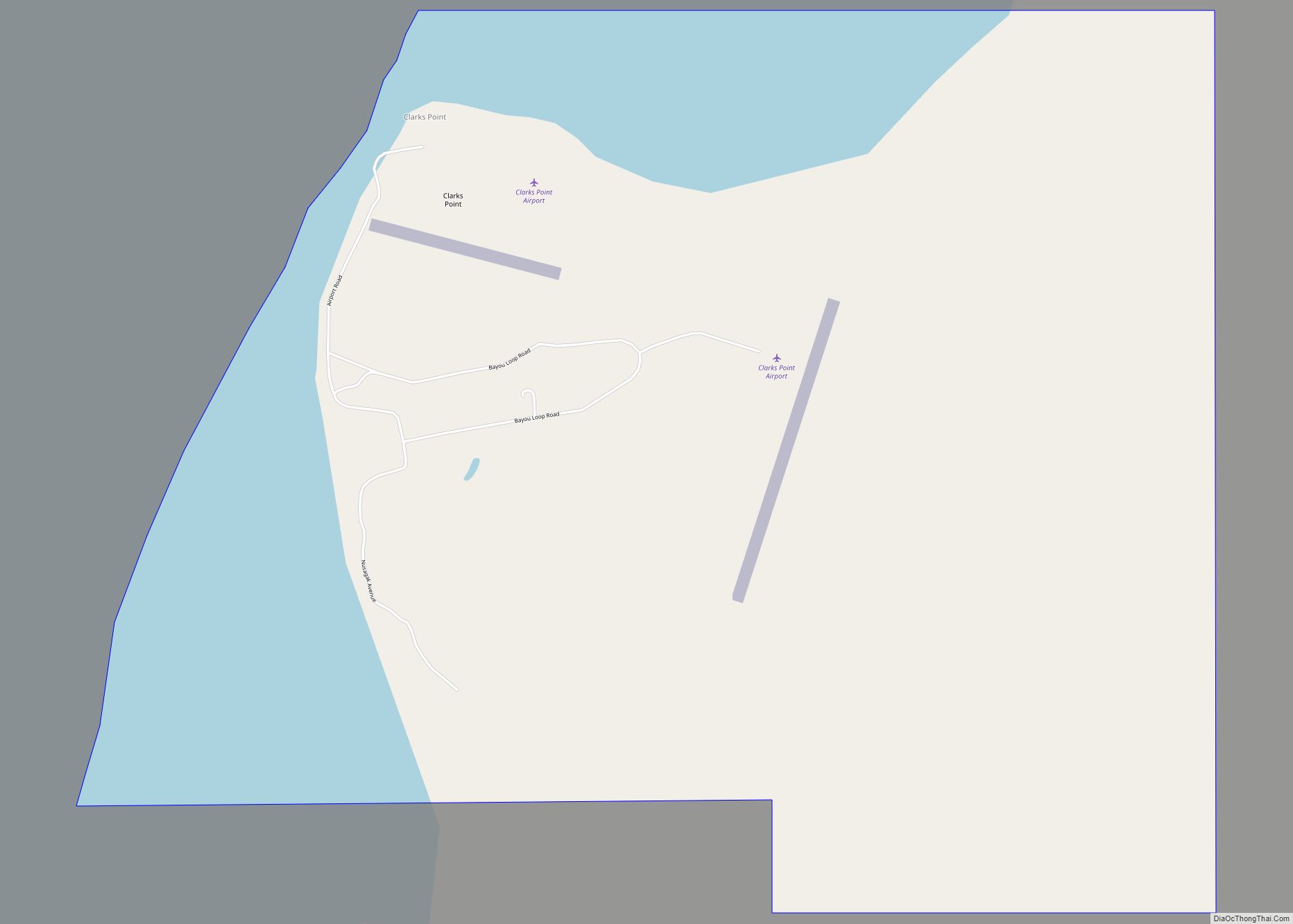
Clark’s Point (Central Yupik: Saguyaq) is a city in Dillingham Census Area, Alaska, United States. The population was 62 at the 2010 census. Clark’s Point city overview: Name: Clark’s Point city LSAD Code: 25 LSAD Description: city (suffix) State: Alaska County: Dillingham Census Area Total Area: 4.11 sq mi (10.64 km²) Land Area: 3.32 sq mi (8.61 km²) Water Area: 0.79 sq mi ... Read more
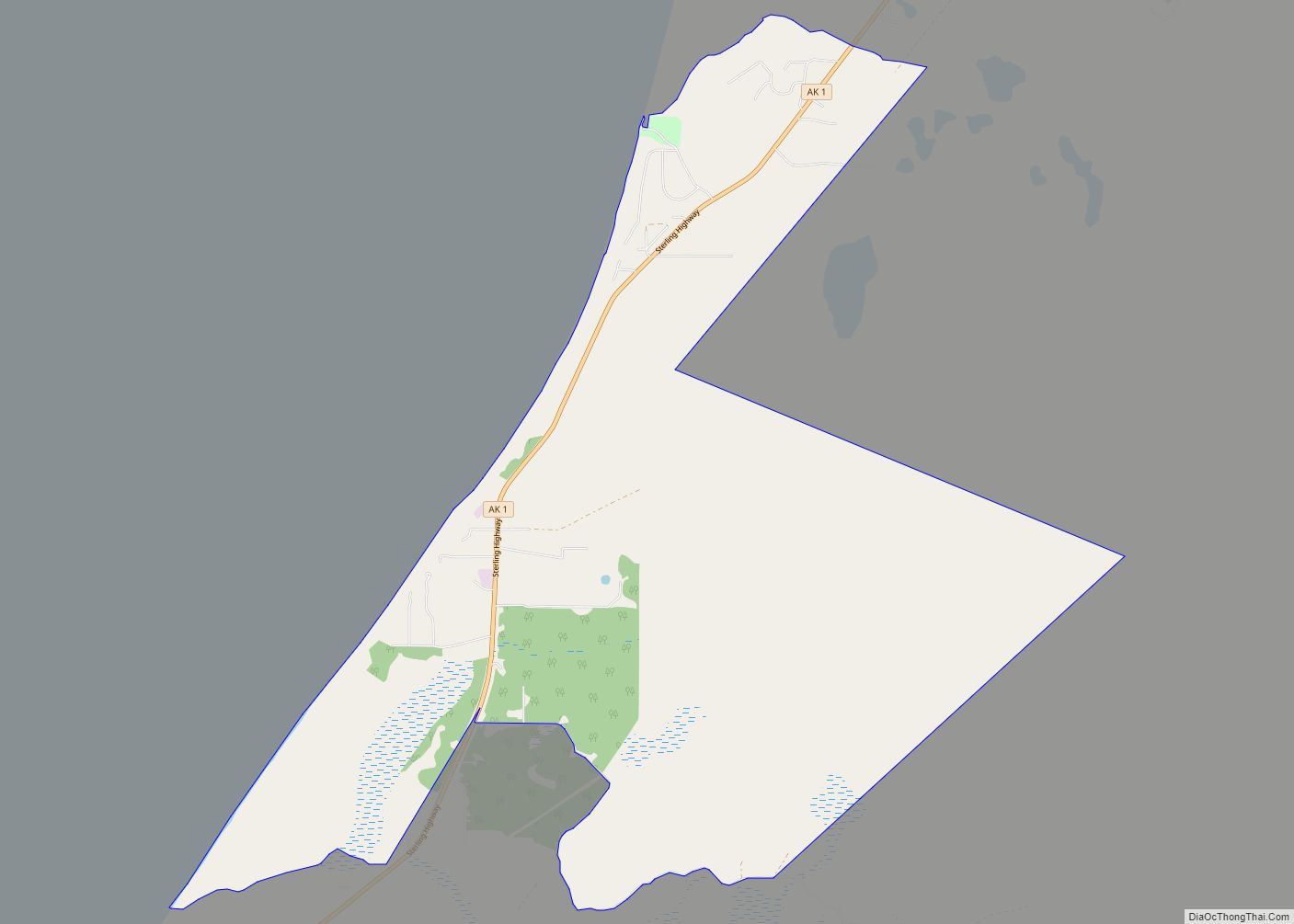
Clam Gulch (Dena’ina: Qałnigi D’nazludt) is a census-designated place (CDP) in Kenai Peninsula Borough, Alaska, United States. At the 2020 census, the population was 207. Clam Gulch CDP overview: Name: Clam Gulch CDP LSAD Code: 57 LSAD Description: CDP (suffix) State: Alaska County: Kenai Peninsula Borough Elevation: 269 ft (82 m) Total Area: 13.35 sq mi (34.57 km²) Land Area: ... Read more
