Circle (also called Circle City; Gwichʼin: Danzhit Khànląįį) is a census-designated place (CDP) in Yukon-Koyukuk Census Area, Alaska, United States. At the 2010 census the population was 104, up from 100 in 2000.
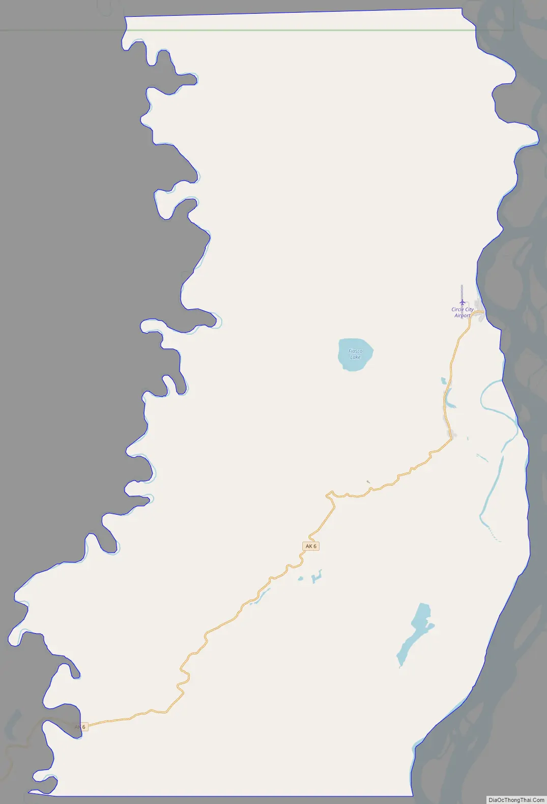
Circle is 160 mi (260 km) northeast of Fairbanks at the end of the Steese Highway. Circle was named by miners in the late 19th century who believed that the town was on the Arctic Circle, but the Arctic Circle is about 50 mi (80 km) north of Circle.
Every February, Circle City hosts a checkpoint for the long-distance Yukon Quest sled dog race.
There is only one general store which also houses the only fuel pump in town. The price of fuel is generally close to double that of Fairbanks.
Many of the events in John McPhee’s 1976 non-fiction book Coming into the Country occur in Circle.
In Truman Capote’s non-fiction book In Cold Blood, Perry Edward Smith mentions spending time with his father in Circle City.
| Name: | Circle CDP |
|---|---|
| LSAD Code: | 57 |
| LSAD Description: | CDP (suffix) |
| State: | Alaska |
| County: | Yukon-Koyukuk Census Area |
| Total Area: | 106.58 sq mi (276.04 km²) |
| Land Area: | 106.04 sq mi (274.64 km²) |
| Water Area: | 0.54 sq mi (1.40 km²) |
| Total Population: | 91 |
| Population Density: | 0.86/sq mi (0.33/km²) |
| ZIP code: | 99733 |
| Area code: | 907 |
| FIPS code: | 0214880 |
Online Interactive Map
Click on ![]() to view map in "full screen" mode.
to view map in "full screen" mode.
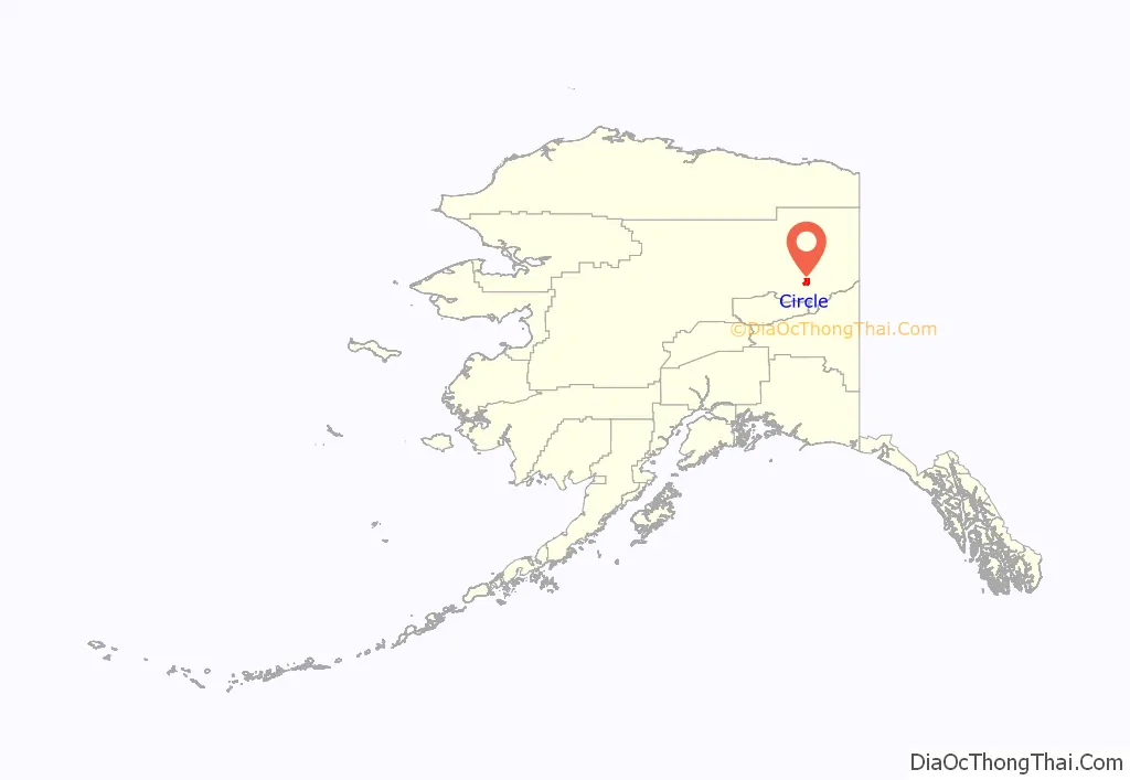
Circle location map. Where is Circle CDP?
History
Circle was established in 1893 when gold was discovered in Birch Creek; it served as an unloading point for supplies shipped up the Yukon River from the Bering Sea. The goods were sent overland to gold mining camps. In 1896, before the Klondike Gold Rush, Circle was the largest mining town on the Yukon River and had a population of 700. It had a store, a few dance halls, an opera house, a library, a school, a hospital, an American Episcopal church, a newspaper, a mill, and several federal officials: United States commissioner, marshal, customs inspector, tax collector and a postmaster.
Circle lost much of its population after gold discoveries in the Klondike in 1897, and Nome in 1899. A few miners stayed near Circle. Mining in the area has continued into the 21st century. Most of the residents of Circle today are Athabascan.
Circle Road Map
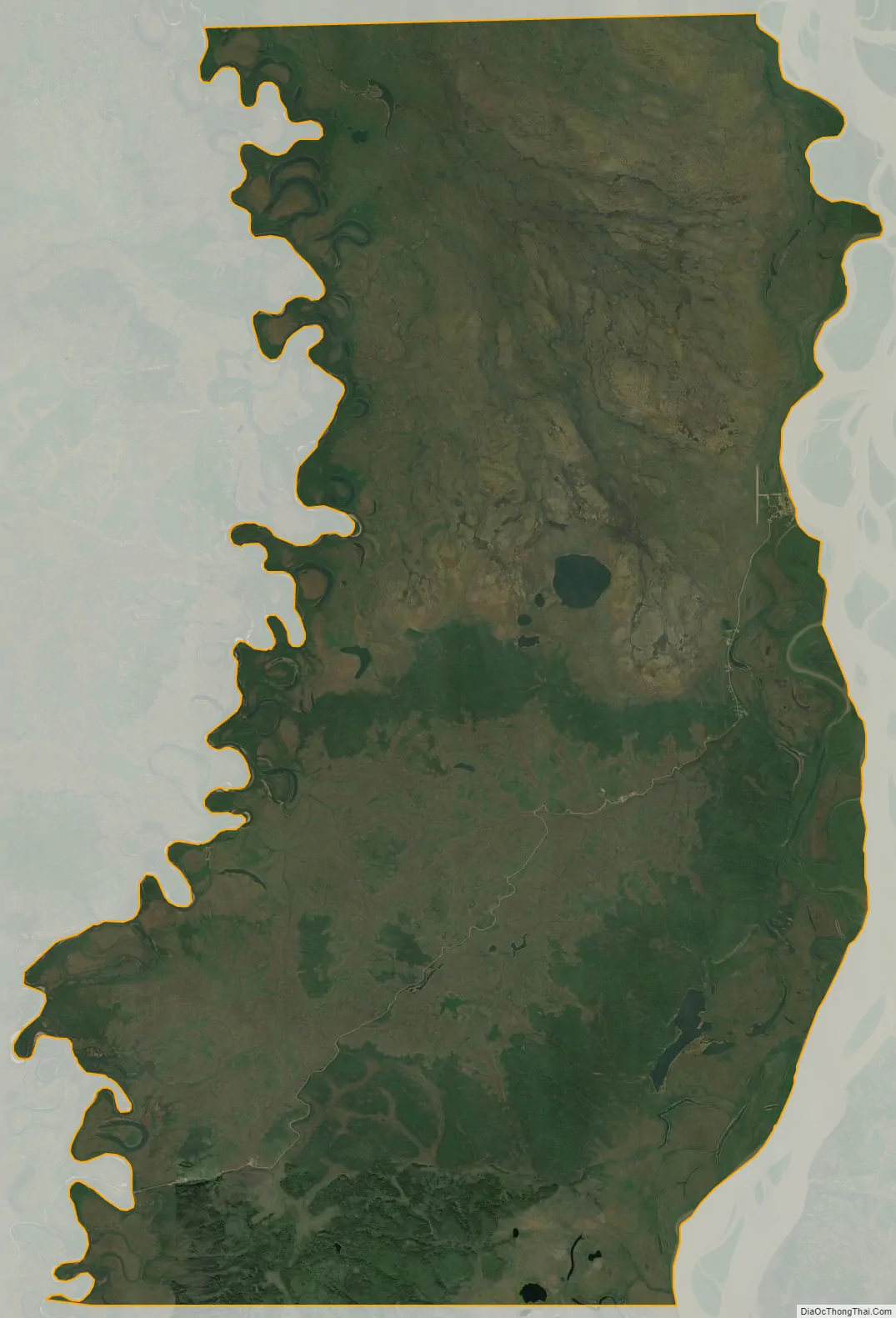
Circle city Satellite Map
Geography
Circle is located at 65°50′4″N 144°4′35″W / 65.83444°N 144.07639°W / 65.83444; -144.07639 (65.834464, -144.076392).
According to the United States Census Bureau, the CDP has a total area of 108.2 square miles (280 km), of which 107.7 square miles (279 km) is land and 0.5 square miles (1.3 km) (0.50%) is water.
Climate
According to the Köppen Climate Classification system, Circle has a subarctic climate, abbreviated “Dfc” on climate maps. The hottest temperature recorded in Circle was 94 °F (34.4 °C) on July 25, 1955 and June 26, 2004, while the coldest temperature recorded was −60 °F (−51.1 °C) on December 15, 1946, January 23, 1951, January 19, 1952, December 24, 1961, December 28–20, 1961 and January 18, 1971.
See also
Map of Alaska State and its subdivision:- Aleutians East
- Aleutians West
- Anchorage
- Bethel
- Bristol Bay
- Denali
- Dillingham
- Fairbanks North Star
- Haines
- Juneau
- Kenai Peninsula
- Ketchikan Gateway
- Kodiak Island
- Lake and Peninsula
- Matanuska-Susitna
- Nome
- North Slope
- Northwest Arctic
- Prince of Wales-Outer Ketchi
- Sitka
- Skagway-Yakutat-Angoon
- Southeast Fairbanks
- Valdez-Cordova
- Wade Hampton
- Wrangell-Petersburg
- Yukon-Koyukuk
- Alabama
- Alaska
- Arizona
- Arkansas
- California
- Colorado
- Connecticut
- Delaware
- District of Columbia
- Florida
- Georgia
- Hawaii
- Idaho
- Illinois
- Indiana
- Iowa
- Kansas
- Kentucky
- Louisiana
- Maine
- Maryland
- Massachusetts
- Michigan
- Minnesota
- Mississippi
- Missouri
- Montana
- Nebraska
- Nevada
- New Hampshire
- New Jersey
- New Mexico
- New York
- North Carolina
- North Dakota
- Ohio
- Oklahoma
- Oregon
- Pennsylvania
- Rhode Island
- South Carolina
- South Dakota
- Tennessee
- Texas
- Utah
- Vermont
- Virginia
- Washington
- West Virginia
- Wisconsin
- Wyoming


