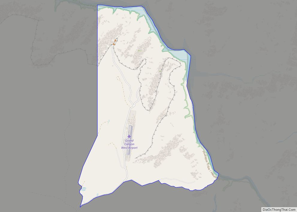
Grand Canyon West is a census-designated place (CDP) in Mohave County, Arizona, United States, located on the Hualapai Reservation. The population was reported as 0 at the 2020 census. Grand Canyon West is home to the tribe’s Grand Canyon business operations, including the Grand Canyon West Airport and the Grand Canyon Skywalk. Typically, they are ... Read more
Arizona Cities and Places
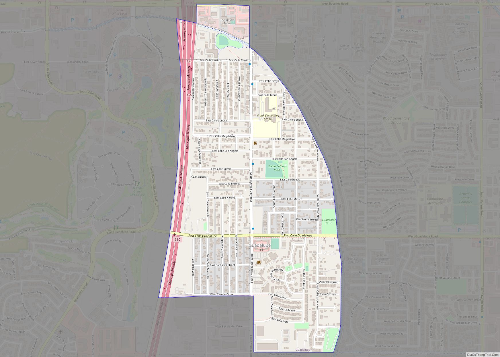
Guadalupe is a town in Maricopa County, Arizona, United States and part of the great Phoenix metropolitan area. The town motto, “where three cultures flourish”, recognizes the town’s roots in the Yaquis, Mexicans and descendants of the original farmers. Since its founding, Guadalupe has been known as a center of Yaqui culture, and it is ... Read more
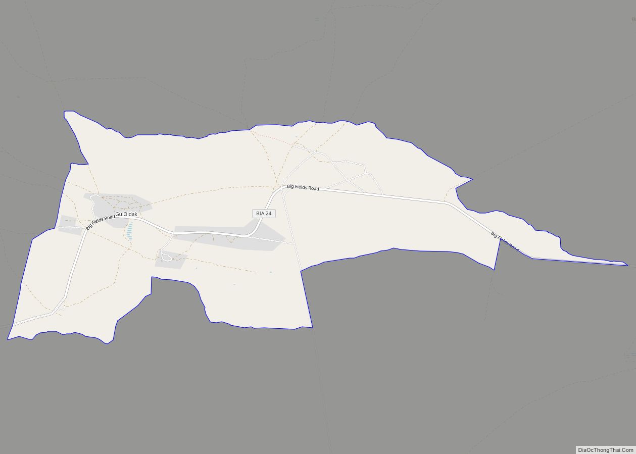
Gu Oidak (also known as Big Fields or Kuoitak) is a census-designated place (CDP) located within the Tohono O’odham Nation Division in Pima County, Arizona, United States. The population was 198 at the 2020 census. The name “Gu Oidak” is the O’odham term for “big field” and located on the Tohono O’odham Nation reservation. Gu ... Read more
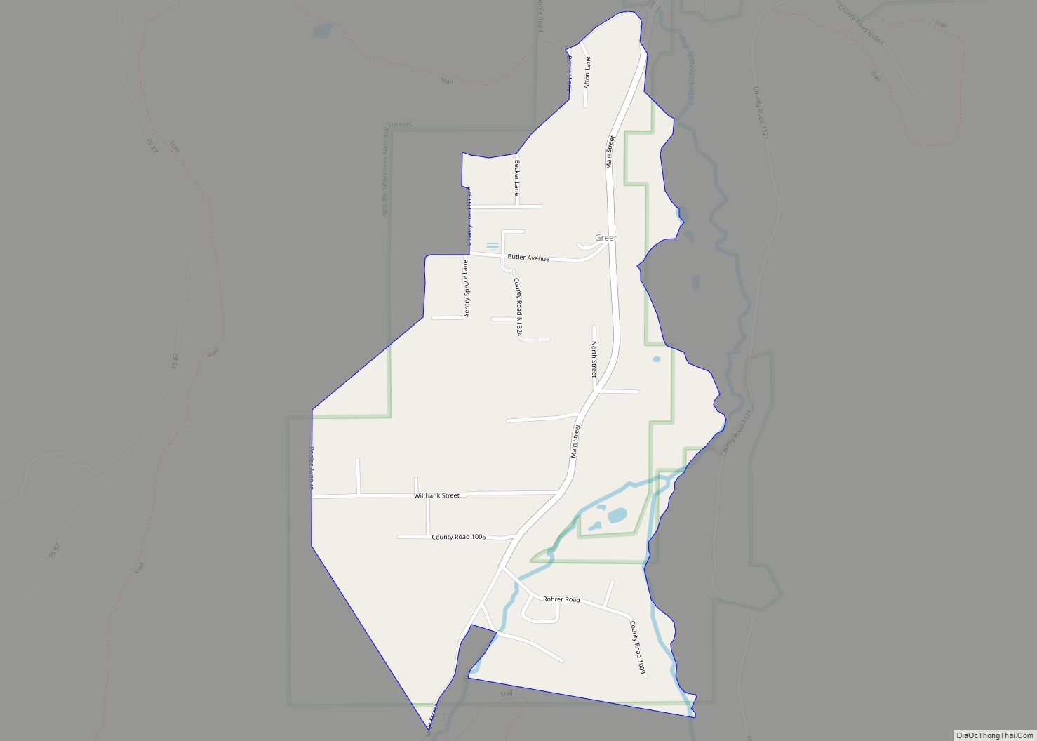
Greer is an unincorporated community and census-designated place in Apache County, Arizona, United States. Located within the White Mountains of Arizona and surrounded by the Apache-Sitgreaves National Forest, Greer is the highest town in the state at an elevation of approximately 8,400 feet (2,560 m). As of the 2020 census it had a population of ... Read more
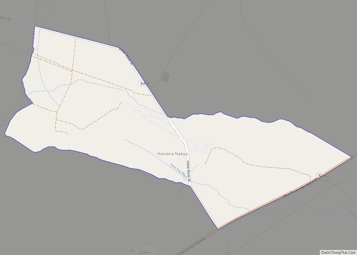
Haivana Nakya is a census-designated place (CDP) in Pima County, Arizona, United States. The population was 96 at the 2010 census. Haivana Nakya CDP overview: Name: Haivana Nakya CDP LSAD Code: 57 LSAD Description: CDP (suffix) State: Arizona County: Pima County Elevation: 2,854 ft (87 m) Total Area: 1.86 sq mi (4.82 km²) Land Area: 1.86 sq mi (4.82 km²) Water Area: 0.00 sq mi ... Read more
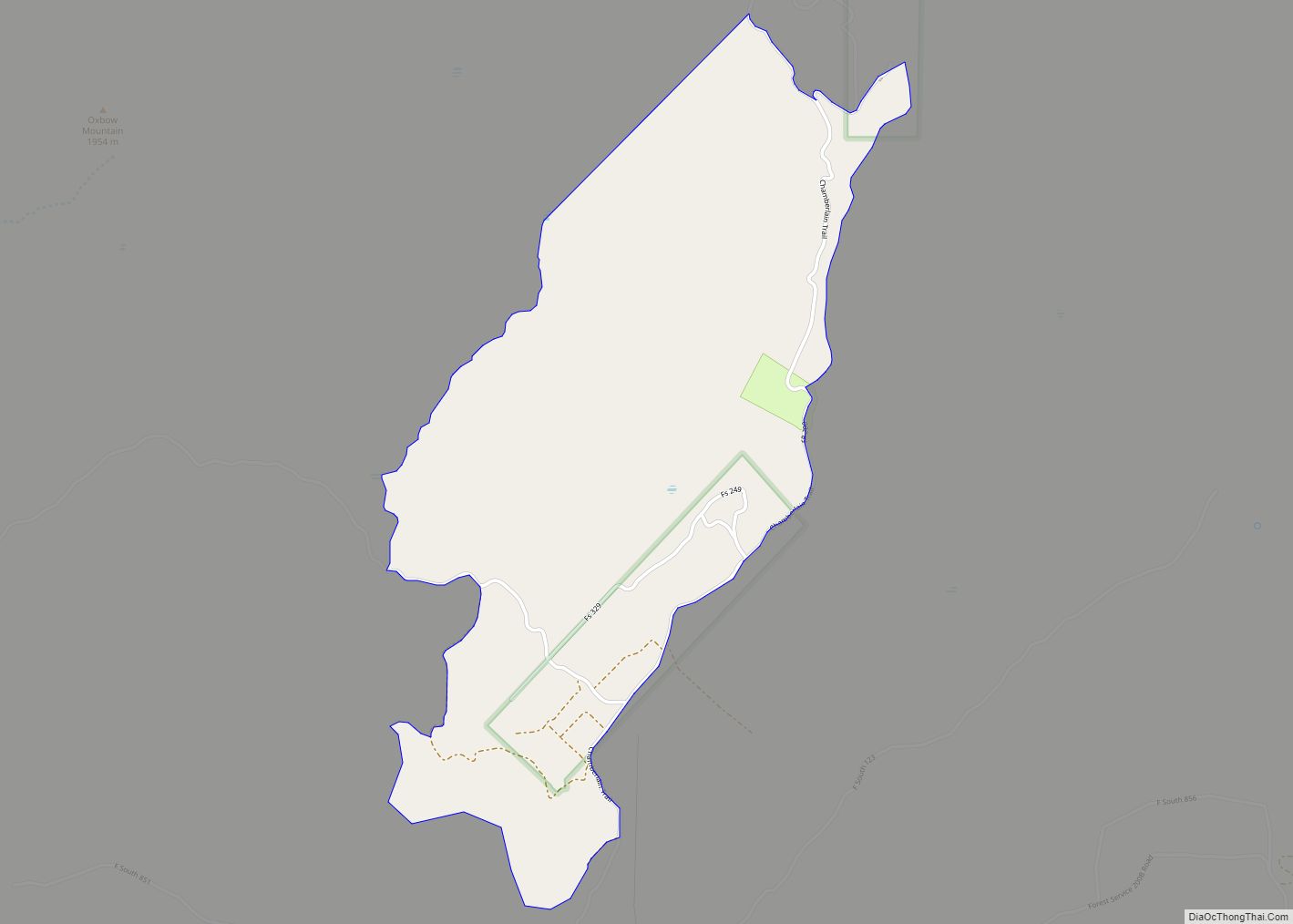
Haigler Creek is an unincorporated community and census-designated place (CDP) in northern Gila County, Arizona, United States. It lies at an elevation of 5,240 feet (1,597 m) and is surrounded by the Tonto National Forest. As of the 2020 census, Haigler Creek had a population of 39 people. Haigler Creek CDP overview: Name: Haigler Creek ... Read more
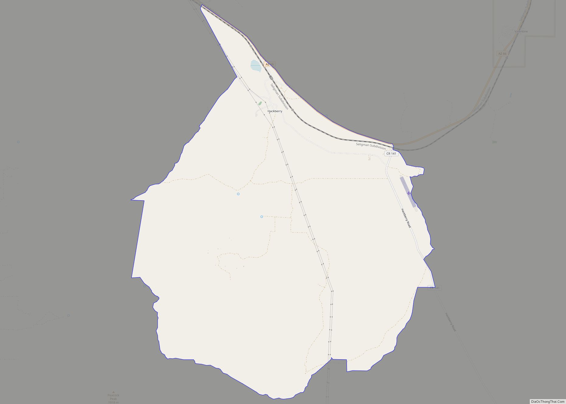
Hackberry is an unincorporated community and census-designated place (CDP) in Mohave County, Arizona, United States. It is located on Arizona State Route 66 (former U.S. Route 66) 28 miles (45 km) northeast of Kingman. Hackberry has a post office which as of 2015 served 68 residential mailboxes with ZIP code 86411. As of the 2020 census, ... Read more
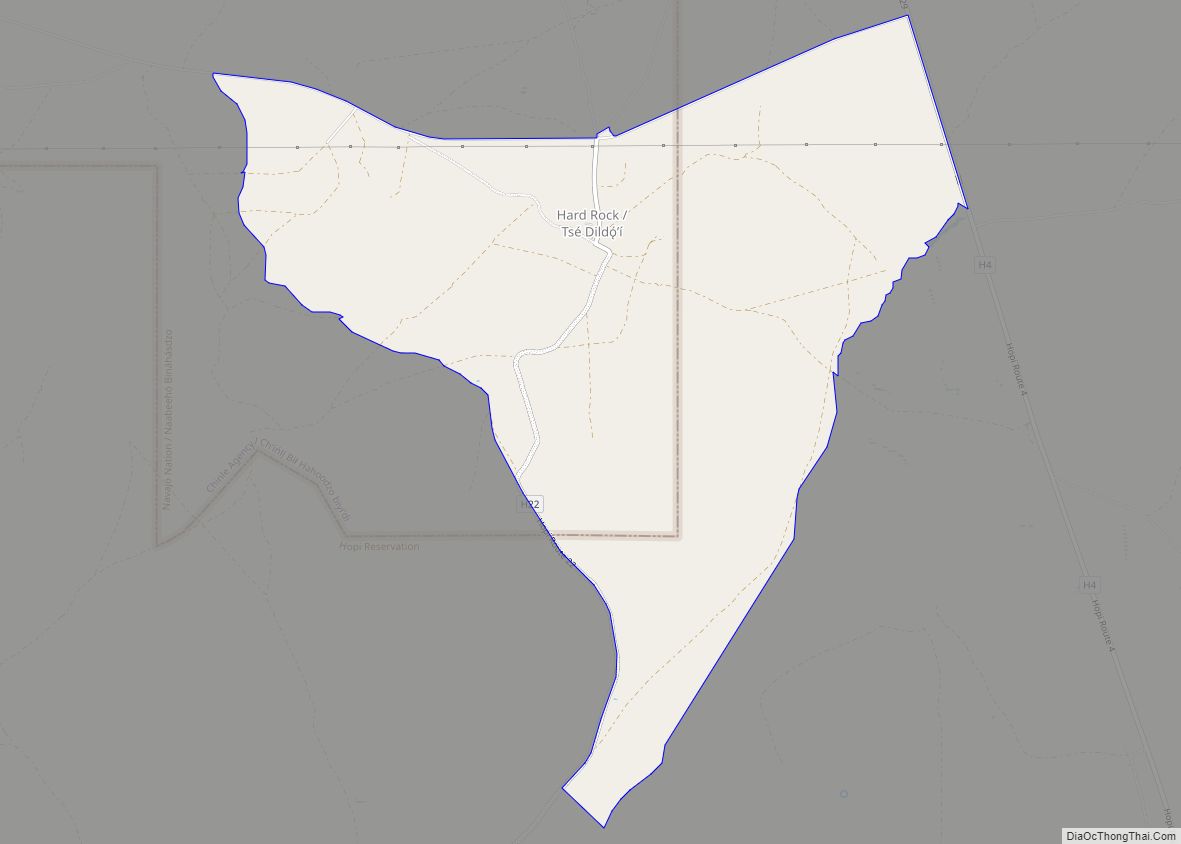
Hard Rock is a census-designated place (CDP) in Navajo County, Arizona, United States. The population was 94 at the 2010 census. Hard Rock CDP overview: Name: Hard Rock CDP LSAD Code: 57 LSAD Description: CDP (suffix) State: Arizona County: Navajo County Elevation: 6,021 ft (1,835 m) Total Area: 5.92 sq mi (15.34 km²) Land Area: 5.92 sq mi (15.34 km²) Water Area: 0.00 sq mi ... Read more
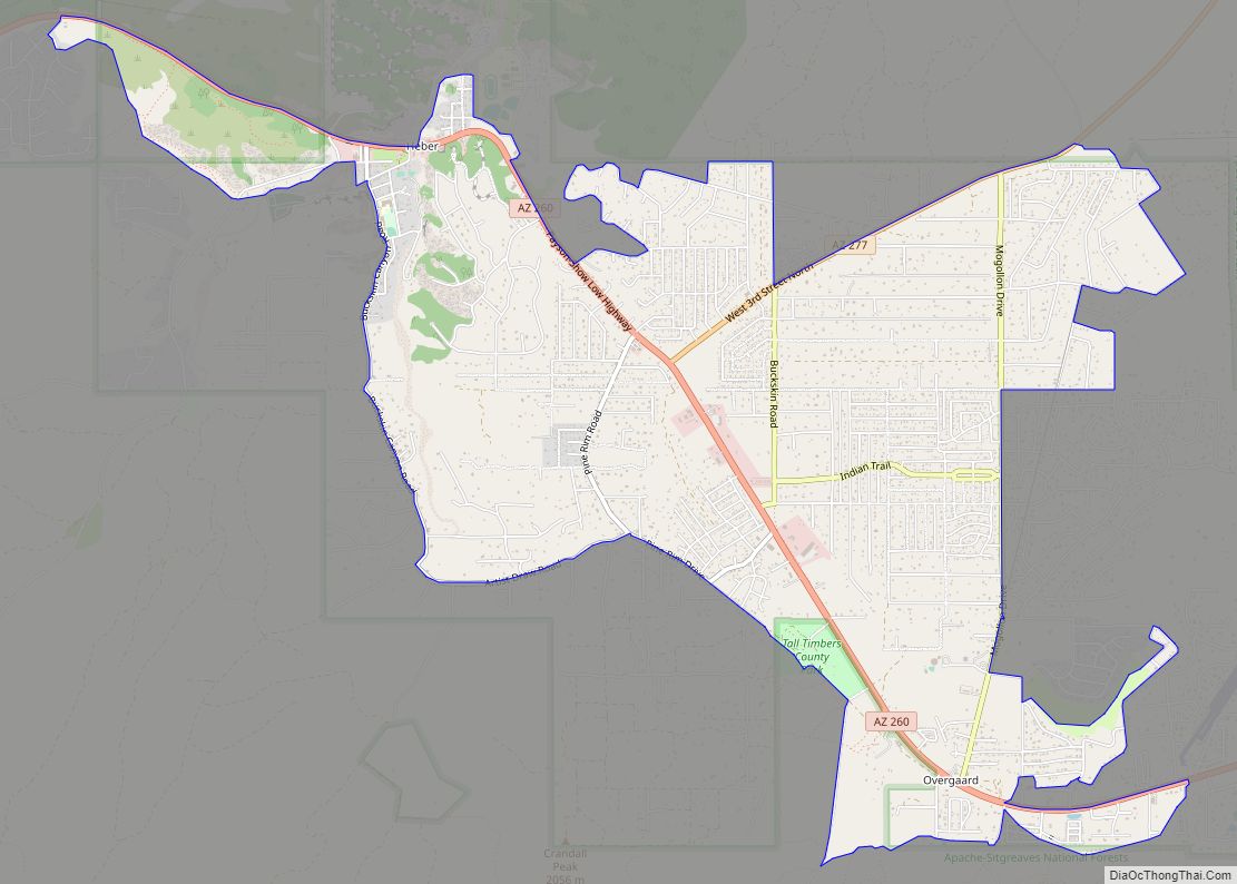
Heber-Overgaard is a census-designated place (CDP) in Navajo County, Arizona, United States. Situated atop the Mogollon Rim, the community lies at an elevation of 6,627 feet (2,020 m). The population was 2,898 at the 2020 census. Heber and Overgaard are technically two unincorporated communities, but as of the 1990 census, their proximity led to the merged ... Read more
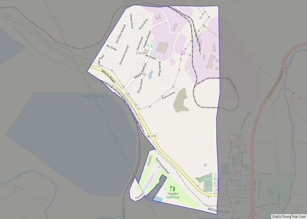
Hayden town overview: Name: Hayden town LSAD Code: 43 LSAD Description: town (suffix) State: Arizona County: Gila County, Pinal County Elevation: 2,044 ft (623 m) Total Area: 1.27 sq mi (3.30 km²) Land Area: 1.26 sq mi (3.28 km²) Water Area: 0.01 sq mi (0.02 km²) Total Population: 512 Population Density: 404.74/sq mi (156.23/km²) ZIP code: 85135 Area code: 520 FIPS code: 0432020 GNISfeature ID: 5646 Website: ... Read more
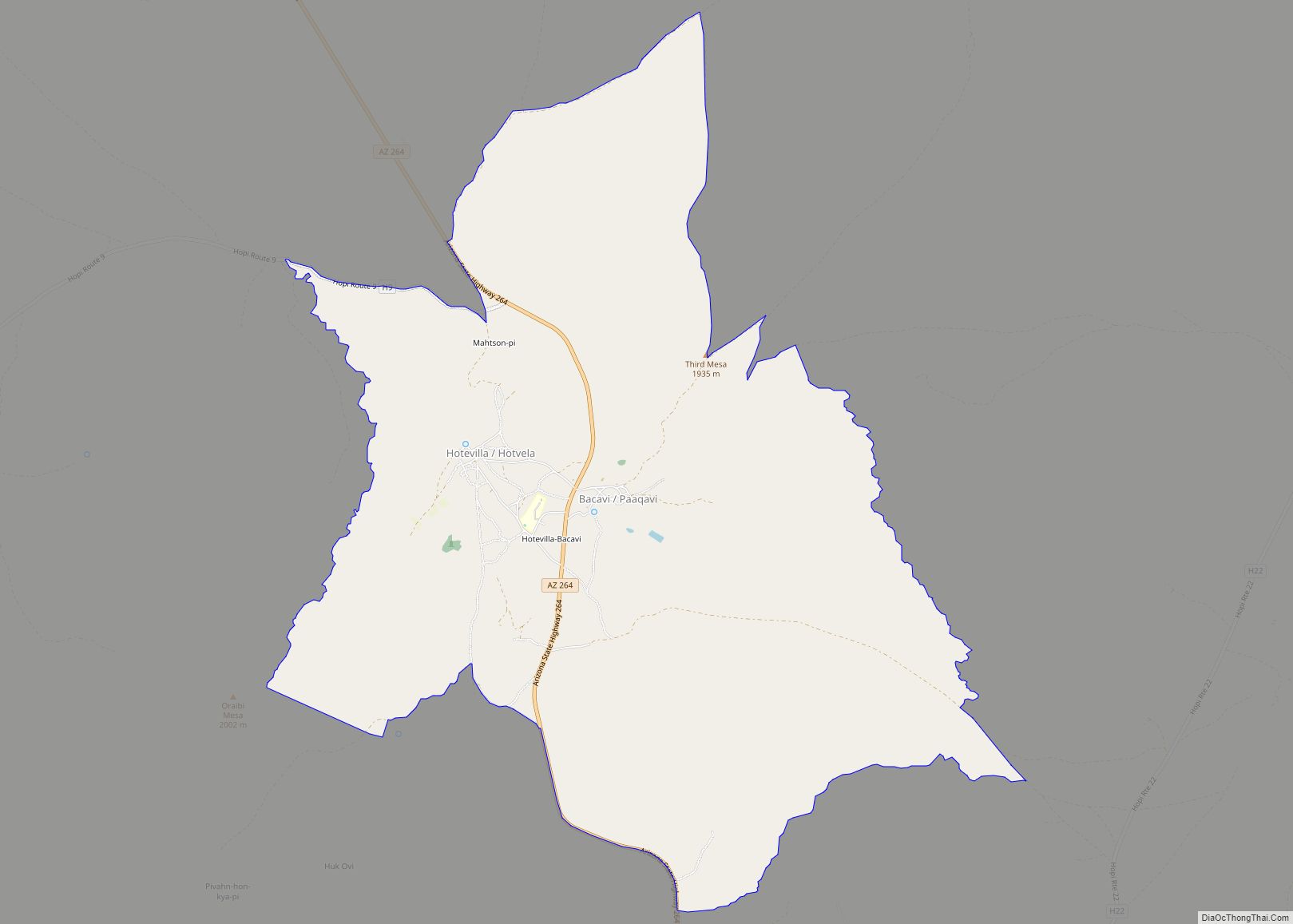
Hotevilla-Bacavi (Hopi: Hotvela-Paaqavi; also known as Third Mesa) is a census-designated place (CDP) in Navajo County, Arizona, United States, on the Hopi Reservation. The population was 957 at the 2010 census. Hotevilla-Bacavi CDP overview: Name: Hotevilla-Bacavi CDP LSAD Code: 57 LSAD Description: CDP (suffix) State: Arizona County: Navajo County Elevation: 6,319 ft (1,926 m) Total Area: 11.76 sq mi ... Read more
Hondah is a census-designated place (CDP) in Navajo County, Arizona, United States, on the Fort Apache Indian Reservation. The population was 812 at the 2010 census. Hondah is home to the Hon-Dah Resort Casino and Conference Center, operated by the tribe. Hondah CDP overview: Name: Hondah CDP LSAD Code: 57 LSAD Description: CDP (suffix) State: ... Read more
