Guadalupe is a town in Maricopa County, Arizona, United States and part of the great Phoenix metropolitan area. The town motto, “where three cultures flourish”, recognizes the town’s roots in the Yaquis, Mexicans and descendants of the original farmers. Since its founding, Guadalupe has been known as a center of Yaqui culture, and it is home to many religious festivals. Nestled between Phoenix and Tempe, the 2020 census listed the population of the town as 5,322. Guadalupe was founded around 1900 by Yaqui Indians, who fled their homeland in Sonora to avoid oppression by the Mexican government of Porfirio Díaz. The cemetery of Guadalupe was established in 1904, in the original townsite. The cemetery is now officially located in Tempe, due to that city’s annexation of the land surrounding the cemetery; however, it is still administered by the Guadalupe Clerk’s Office. Guadalupe is primarily a residential area; most residents commute to other parts of the Phoenix area to work.
| Name: | Guadalupe town |
|---|---|
| LSAD Code: | 43 |
| LSAD Description: | town (suffix) |
| State: | Arizona |
| County: | Maricopa County |
| Elevation: | 1,234 ft (376 m) |
| Total Area: | 0.80 sq mi (2.07 km²) |
| Land Area: | 0.80 sq mi (2.07 km²) |
| Water Area: | 0.00 sq mi (0.00 km²) |
| Total Population: | 5,322 |
| Population Density: | 6,660.83/sq mi (2,571.74/km²) |
| ZIP code: | 85283 |
| Area code: | 480 |
| FIPS code: | 0430270 |
| Website: | www.guadalupeaz.org |
Online Interactive Map
Click on ![]() to view map in "full screen" mode.
to view map in "full screen" mode.
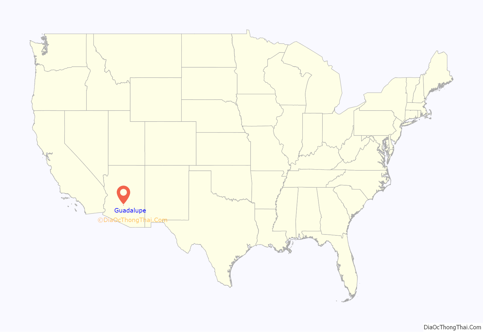
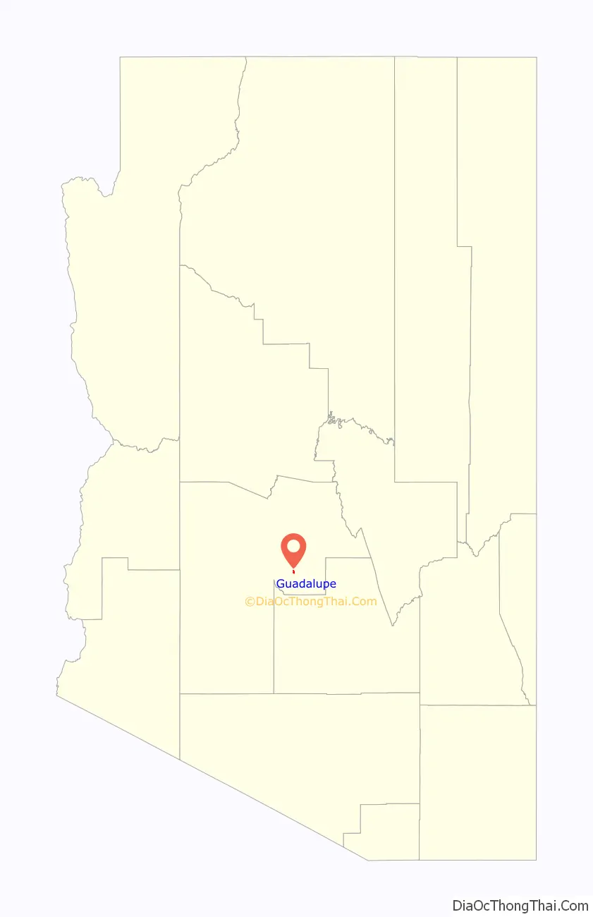
Guadalupe location map. Where is Guadalupe town?
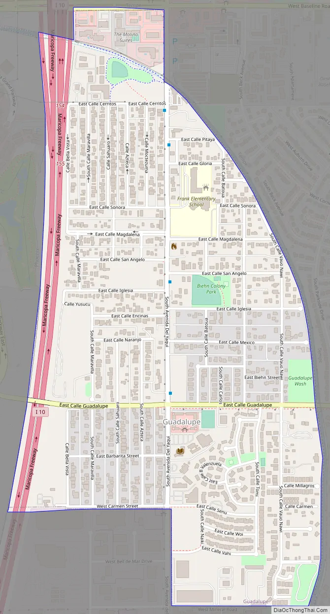
Guadalupe Road Map
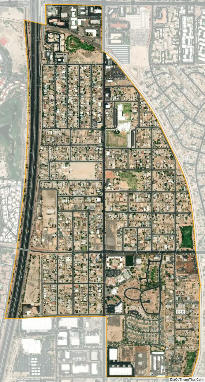
Guadalupe city Satellite Map
Geography
Guadalupe is located at 33°22′0″N 111°57′45″W / 33.36667°N 111.96250°W / 33.36667; -111.96250 (33.366733, -111.962414). It is bordered to the west by Phoenix and to the north, east, and south by Tempe. Downtown Phoenix is 11 miles (18 km) to the northwest.
According to the United States Census Bureau, the town has a total area of 0.8 square miles (2.1 km), all land.
See also
Map of Arizona State and its subdivision: Map of other states:- Alabama
- Alaska
- Arizona
- Arkansas
- California
- Colorado
- Connecticut
- Delaware
- District of Columbia
- Florida
- Georgia
- Hawaii
- Idaho
- Illinois
- Indiana
- Iowa
- Kansas
- Kentucky
- Louisiana
- Maine
- Maryland
- Massachusetts
- Michigan
- Minnesota
- Mississippi
- Missouri
- Montana
- Nebraska
- Nevada
- New Hampshire
- New Jersey
- New Mexico
- New York
- North Carolina
- North Dakota
- Ohio
- Oklahoma
- Oregon
- Pennsylvania
- Rhode Island
- South Carolina
- South Dakota
- Tennessee
- Texas
- Utah
- Vermont
- Virginia
- Washington
- West Virginia
- Wisconsin
- Wyoming


