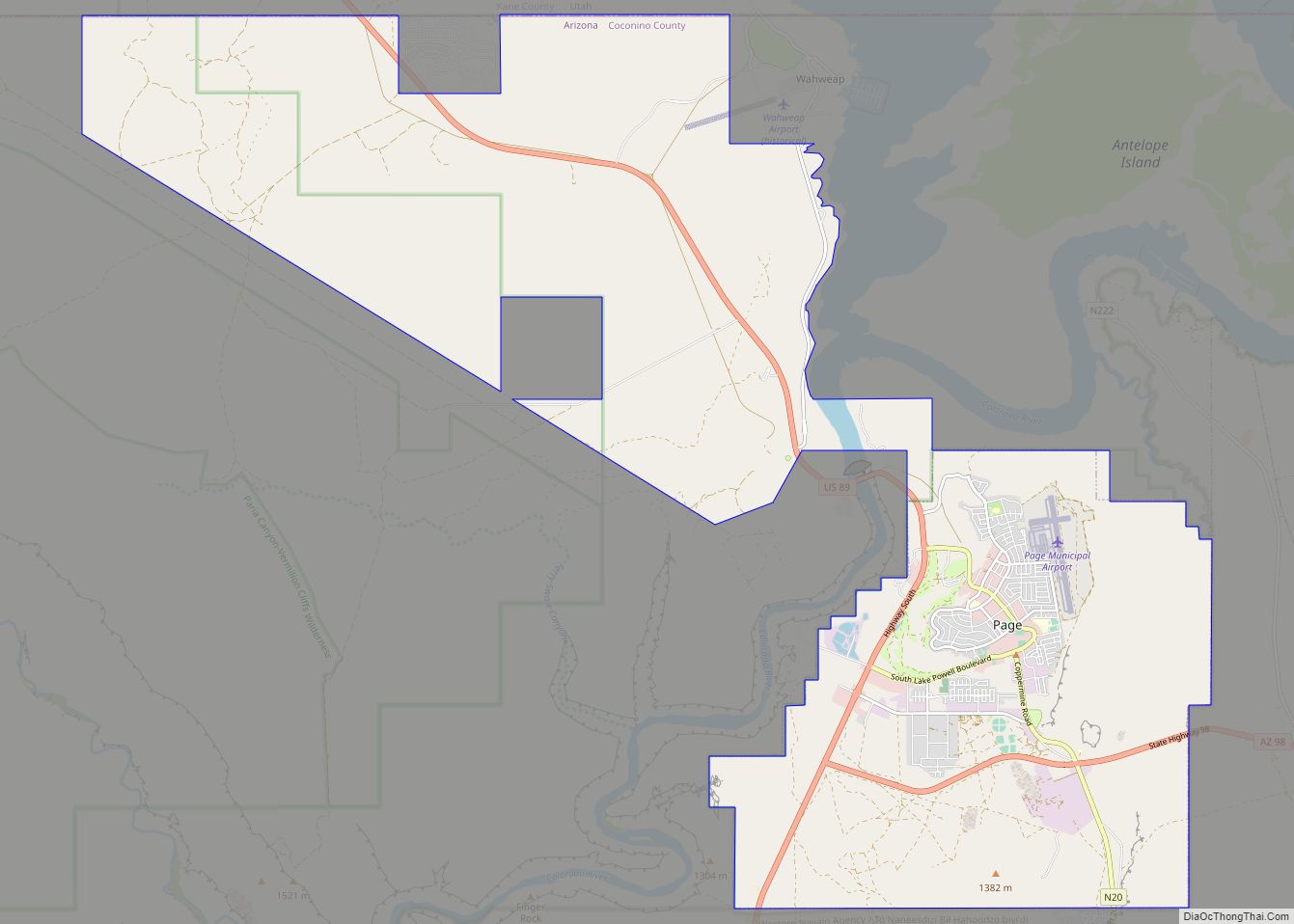
Page is a city in Coconino County, Arizona, United States, near the Glen Canyon Dam and Lake Powell. As of the 2010 census, the population of the city was 7,247. Page city overview: Name: Page city LSAD Code: 25 LSAD Description: city (suffix) State: Arizona County: Coconino County Elevation: 4,118 ft (1,255 m) Total Area: 38.33 sq mi (99.27 km²) ... Read more
Arizona Cities and Places
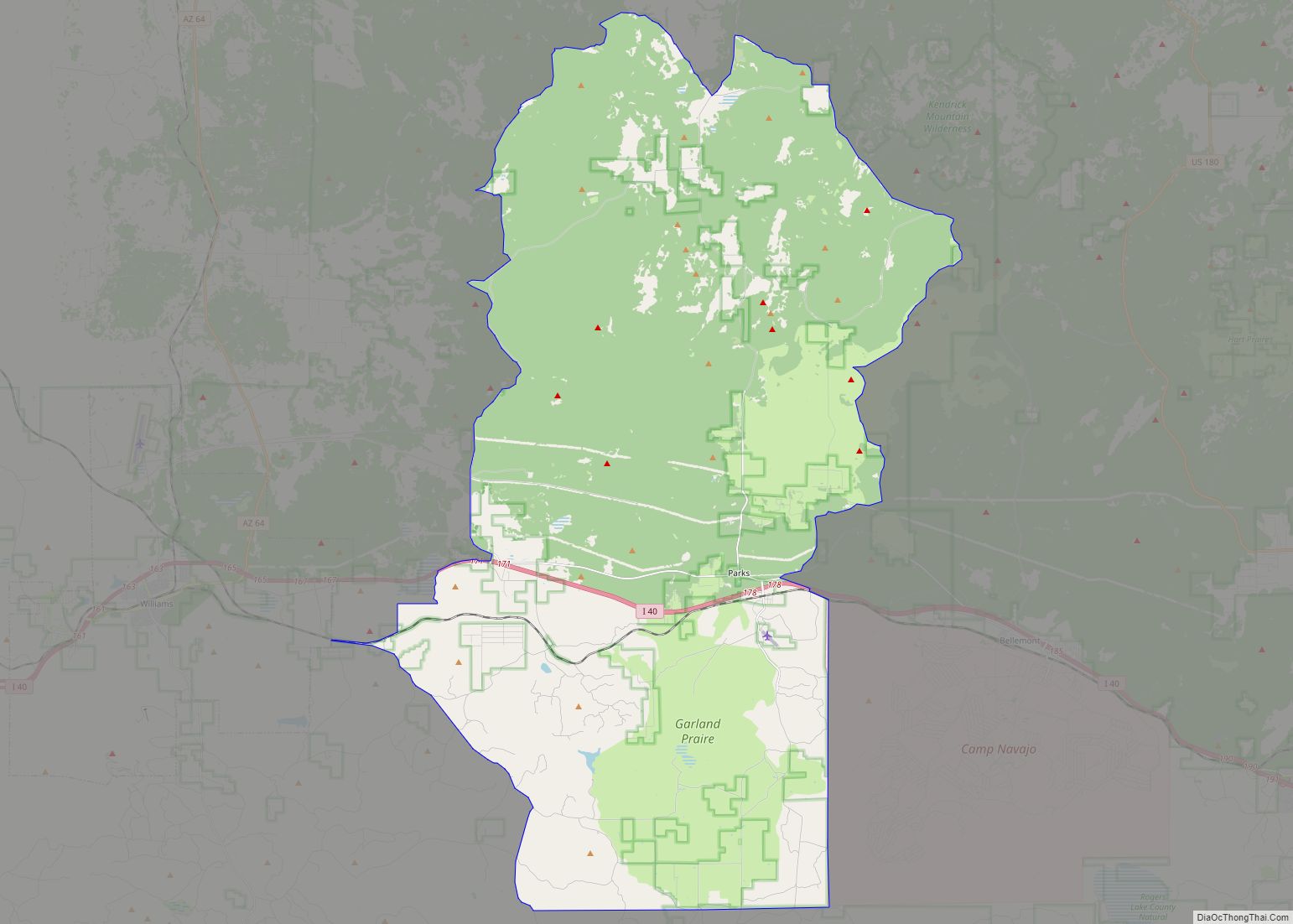
Parks is a census-designated place (CDP) in Coconino County, Arizona, United States. The population was 1,188 at the 2010 census. Parks CDP overview: Name: Parks CDP LSAD Code: 57 LSAD Description: CDP (suffix) State: Arizona County: Coconino County Elevation: 7,079 ft (2,158 m) Total Area: 169.92 sq mi (440.09 km²) Land Area: 169.90 sq mi (440.03 km²) Water Area: 0.02 sq mi (0.06 km²) Total Population: ... Read more
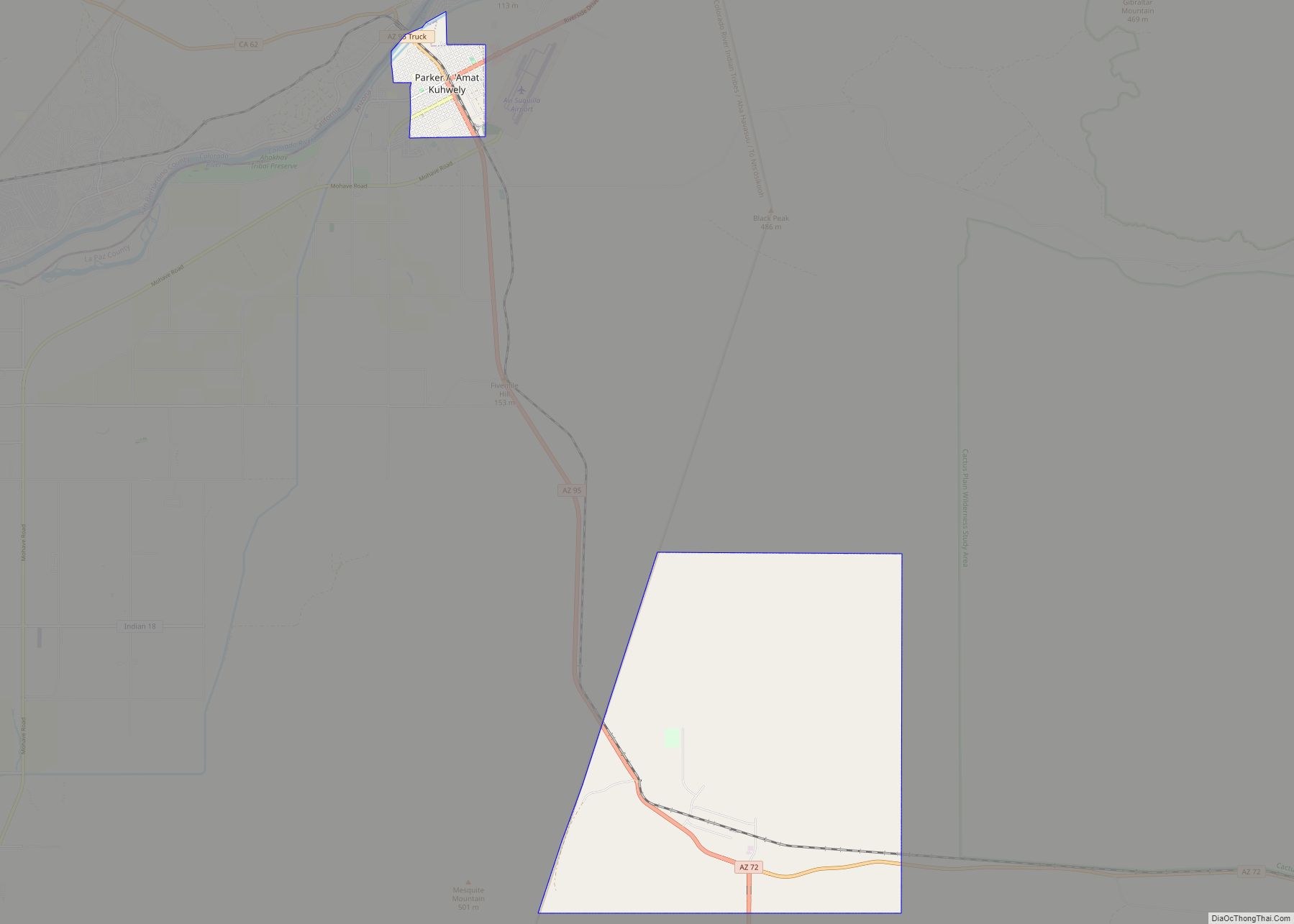
Parker (Mojave ‘Amat Kuhwely, formerly ‘Ahwe Nyava) is the county seat of La Paz County, Arizona, United States, on the Colorado River in Parker Valley. As of the 2020 census, the population of the city was 3,417. Parker town overview: Name: Parker town LSAD Code: 43 LSAD Description: town (suffix) State: Arizona County: La Paz ... Read more
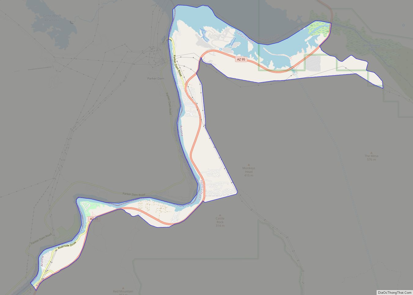
Parker Strip is a census-designated place (CDP) in La Paz County, Arizona, United States. The population was 662 at the 2010 census. Parker Strip CDP overview: Name: Parker Strip CDP LSAD Code: 57 LSAD Description: CDP (suffix) State: Arizona County: La Paz County Elevation: 395 ft (120 m) Total Area: 4.16 sq mi (10.78 km²) Land Area: 3.13 sq mi (8.10 km²) Water ... Read more
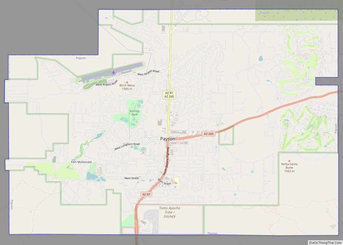
Payson is a town in northern Gila County, Arizona, United States. Due to Payson’s location being very near to the geographic center of Arizona, it has been called “The Heart of Arizona”. The town is surrounded by the Tonto National Forest, the largest of the six national forests in Arizona and is the ninth largest ... Read more
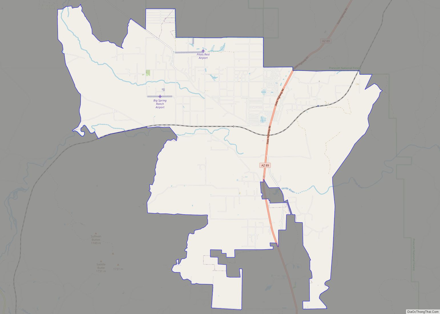
Paulden is a census designated place (CDP) in Yavapai County, Arizona, United States. The population was 5,231 at the 2010 census. Paulden CDP overview: Name: Paulden CDP LSAD Code: 57 LSAD Description: CDP (suffix) State: Arizona County: Yavapai County Elevation: 4,408 ft (1,344 m) Total Area: 57.32 sq mi (148.47 km²) Land Area: 57.32 sq mi (148.47 km²) Water Area: 0.00 sq mi (0.00 km²) Total ... Read more
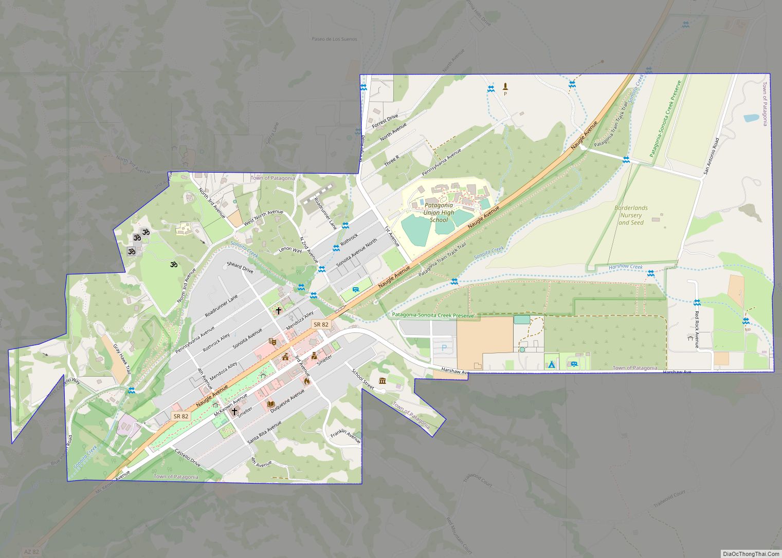
Patagonia is a town in Santa Cruz County, Arizona, United States. As of the 2010 census it had a population of 913. It developed in the mid-19th century as a trading and supply center for nearby mines and ranches. In the 21st century, it is a tourist destination, retirement community, and arts and crafts center. ... Read more
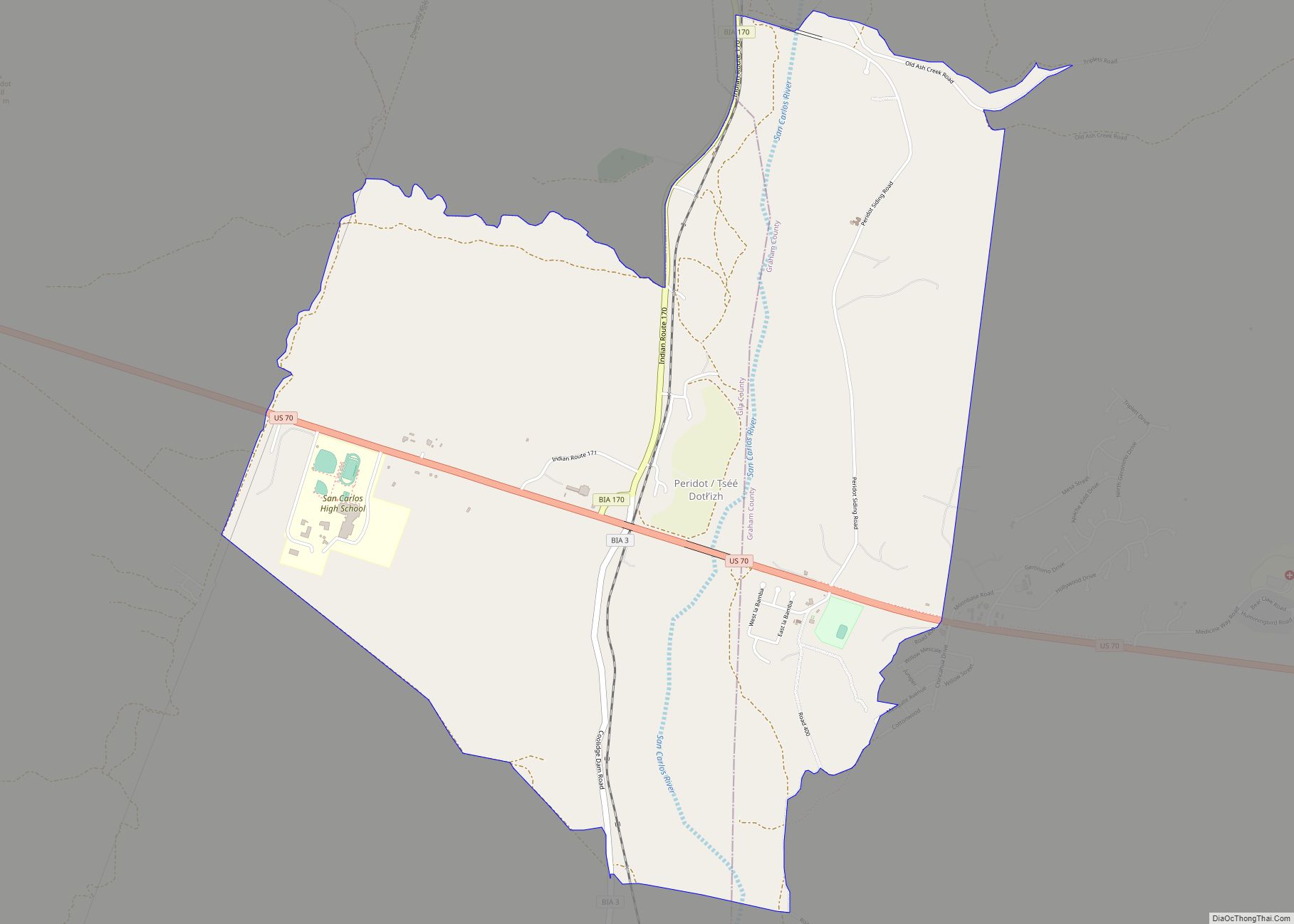
Peridot (Western Apache: Tséé Dotłʼizh “Blue Rock”) is an unincorporated community and census-designated place (CDP) in Gila and Graham counties in the U.S. state of Arizona. The population was 1,350 at the 2010 census. Peridot is named for the mineral peridot, found in basalt flows nearby. Peridot CDP overview: Name: Peridot CDP LSAD Code: 57 ... Read more
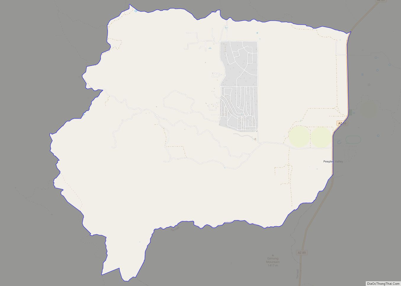
Peeples Valley (Yavapai: Wachinivo) is a census-designated place (CDP) in Yavapai County, Arizona, United States. The population was 374 at the 2000 census. Peeples Valley is named for prospector A. H. Peeples, who was the leader of the group that discovered Rich Hill, a gold deposit at Weaver, Arizona, in 1863. Peeples Valley CDP overview: ... Read more
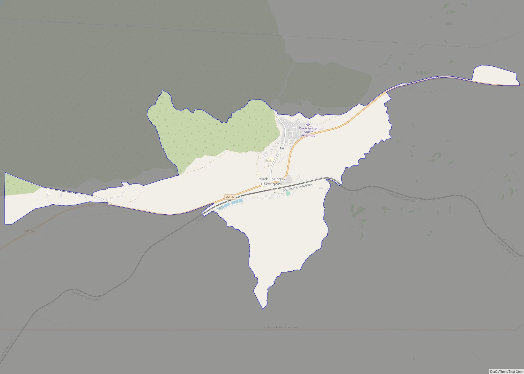
Peach Springs (Walapai: Hàkđugwi:v) is a census-designated place (CDP) in Mohave County, Arizona, United States. The population was 1,098 at the 2020 census. Peach Springs serves as the administrative headquarters of the Hualapai people and is located on the Hualapai Reservation. Peach Springs CDP overview: Name: Peach Springs CDP LSAD Code: 57 LSAD Description: CDP ... Read more
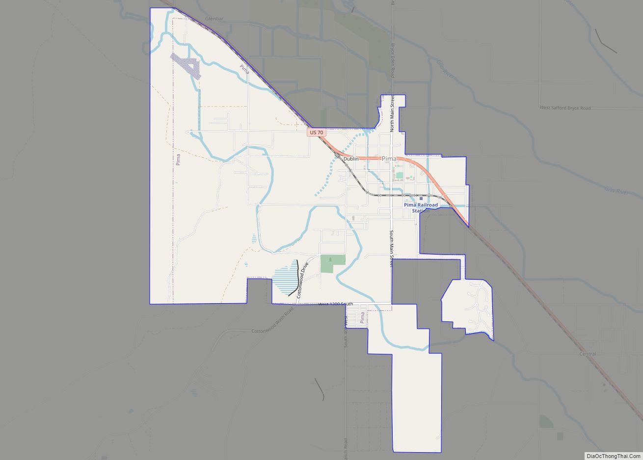
Pima is a town in Graham County, Arizona, United States. As of the 2010 census, the population of the town was 2,387, up from 1,989 in 2000. The estimated population in 2018 was 2,512. Pima is part of the Safford Micropolitan Statistical Area. Despite its name, it is not located in nearby Pima County. This ... Read more
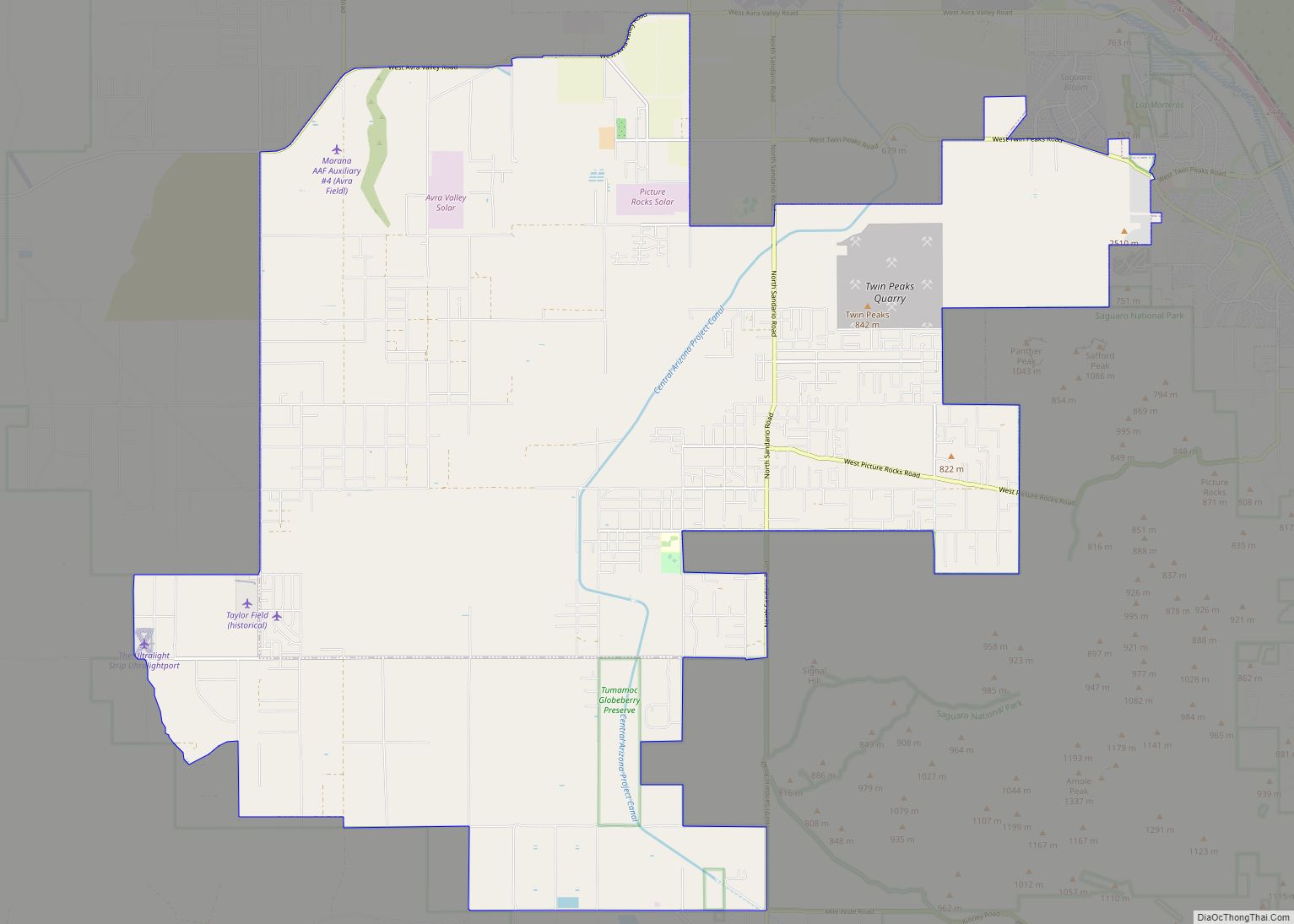
Picture Rocks is a census-designated place (CDP) in Pima County, Arizona, United States, home of the Tucson artifacts. The population was 9,551 at the 2020 United States census. Picture Rocks CDP overview: Name: Picture Rocks CDP LSAD Code: 57 LSAD Description: CDP (suffix) State: Arizona County: Pima County Elevation: 2,080 ft (634 m) Total Area: 70.86 sq mi (183.52 km²) ... Read more
