Parker (Mojave ‘Amat Kuhwely, formerly ‘Ahwe Nyava) is the county seat of La Paz County, Arizona, United States, on the Colorado River in Parker Valley. As of the 2020 census, the population of the city was 3,417.
| Name: | Parker town |
|---|---|
| LSAD Code: | 43 |
| LSAD Description: | town (suffix) |
| State: | Arizona |
| County: | La Paz County |
| Elevation: | 423 ft (129 m) |
| Total Area: | 21.99 sq mi (56.95 km²) |
| Land Area: | 21.98 sq mi (56.92 km²) |
| Water Area: | 0.01 sq mi (0.03 km²) |
| Total Population: | 3,417 |
| ZIP code: | 85344 |
| Area code: | 928 |
| FIPS code: | 0453070 |
Online Interactive Map
Click on ![]() to view map in "full screen" mode.
to view map in "full screen" mode.
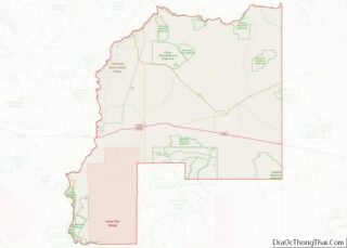
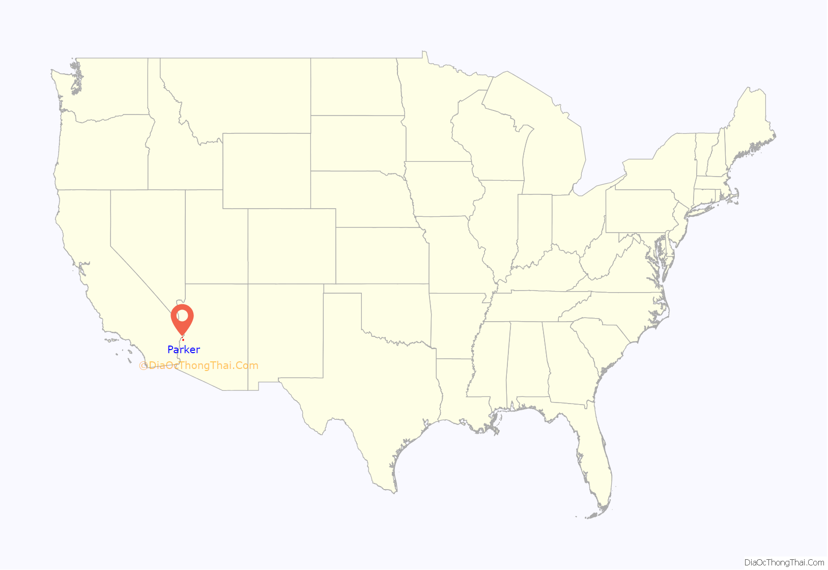
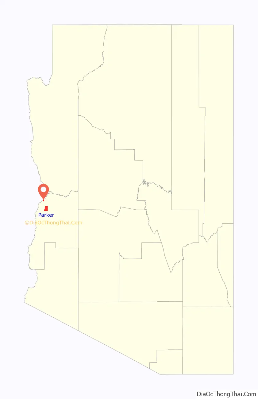
Parker location map. Where is Parker town?
History
Founded in 1908, the town was named after Ely Parker, the first Native American commissioner for the U.S. government. The original town site of Parker was surveyed and laid out in 1909 by Earl H. Parker, a railroad location engineer for the Arizona & California Railway. The town officially incorporated in 1948 and became the county seat for the newly created La Paz County on January 1, 1983.
Camp Colorado and Parkers Landing
The town’s name and origin began when a post office called Parker was established January 6, 1871, at Parker’s Landing and the site of the Parker Indian Agency, named for Ely Parker, on the Colorado River Indian Reservation, four miles downriver from the site of the railroad bridge of the modern town, to serve the Indian agency. What became Parkers Landing was established on the river as the place to land and pick up cargo and personnel for the Indian Agency and the U. S. Army detachment that was stationed there at Camp Colorado from 1864 to 1869, during the first years of the Reservation. Camp Colorado was abandoned after wind-blown sparks from the departing steamboat Cocopah rapidly burned down the brush huts of the officers of the garrison, and endangered its barracks and storehouses.
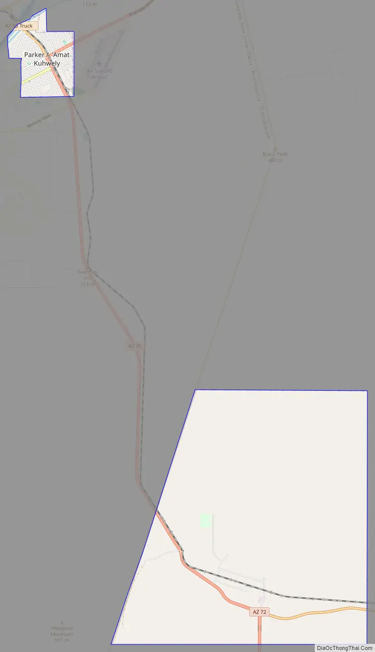
Parker Road Map
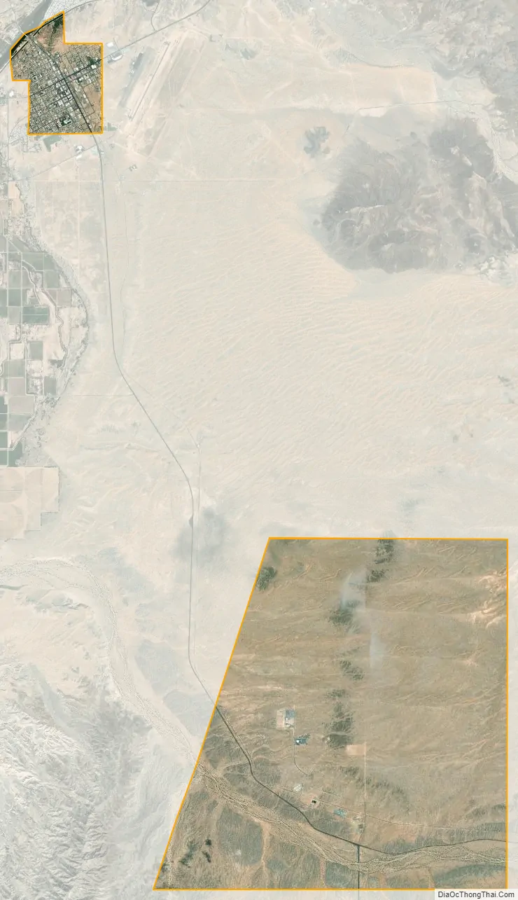
Parker city Satellite Map
Geography
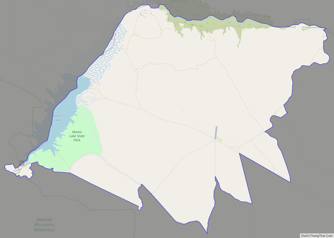
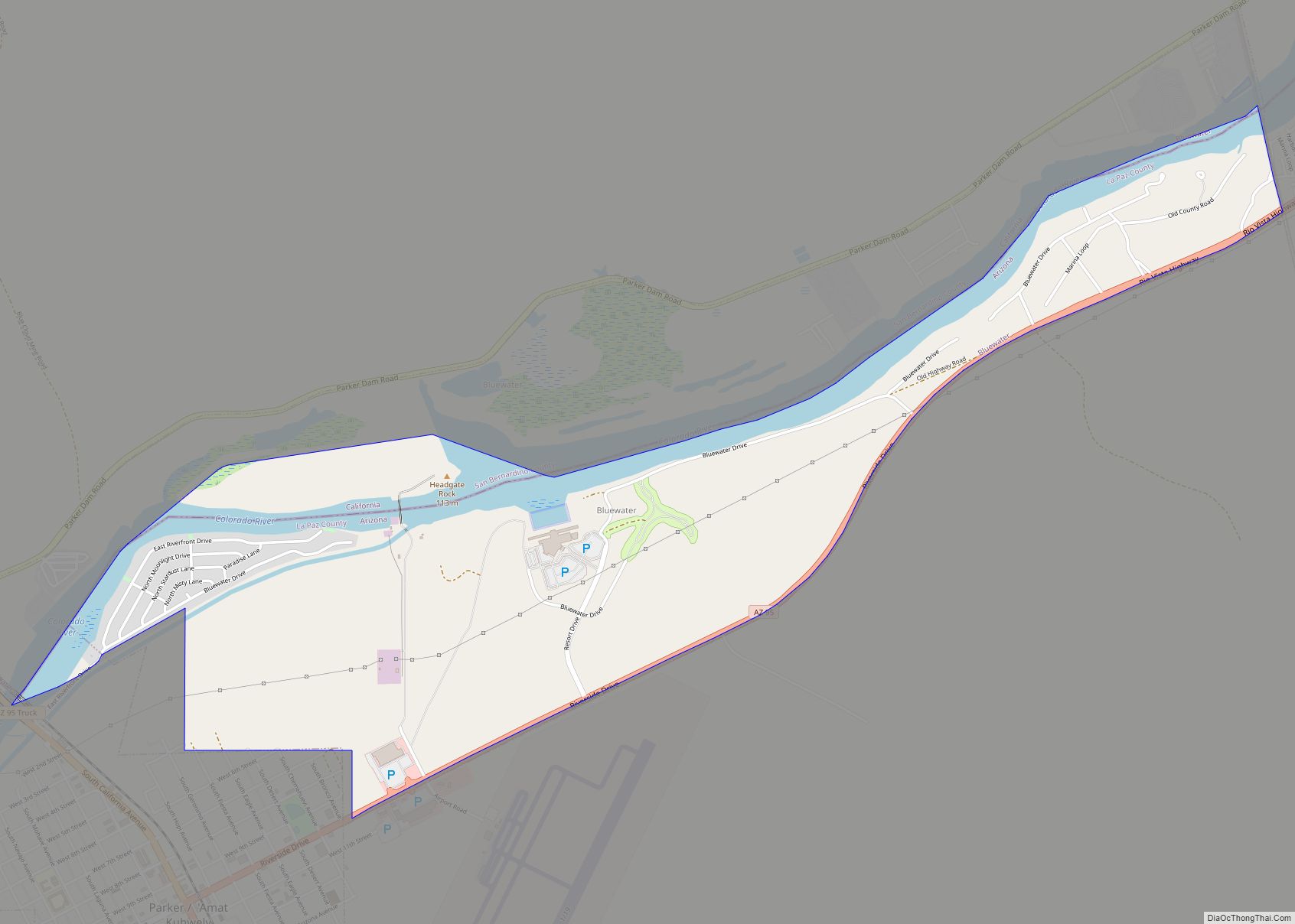
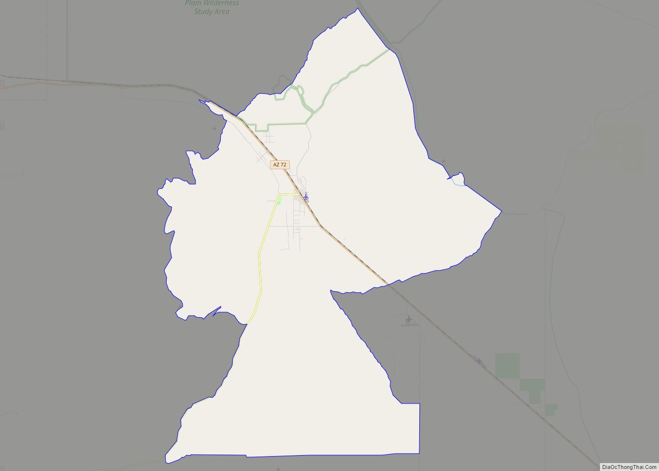
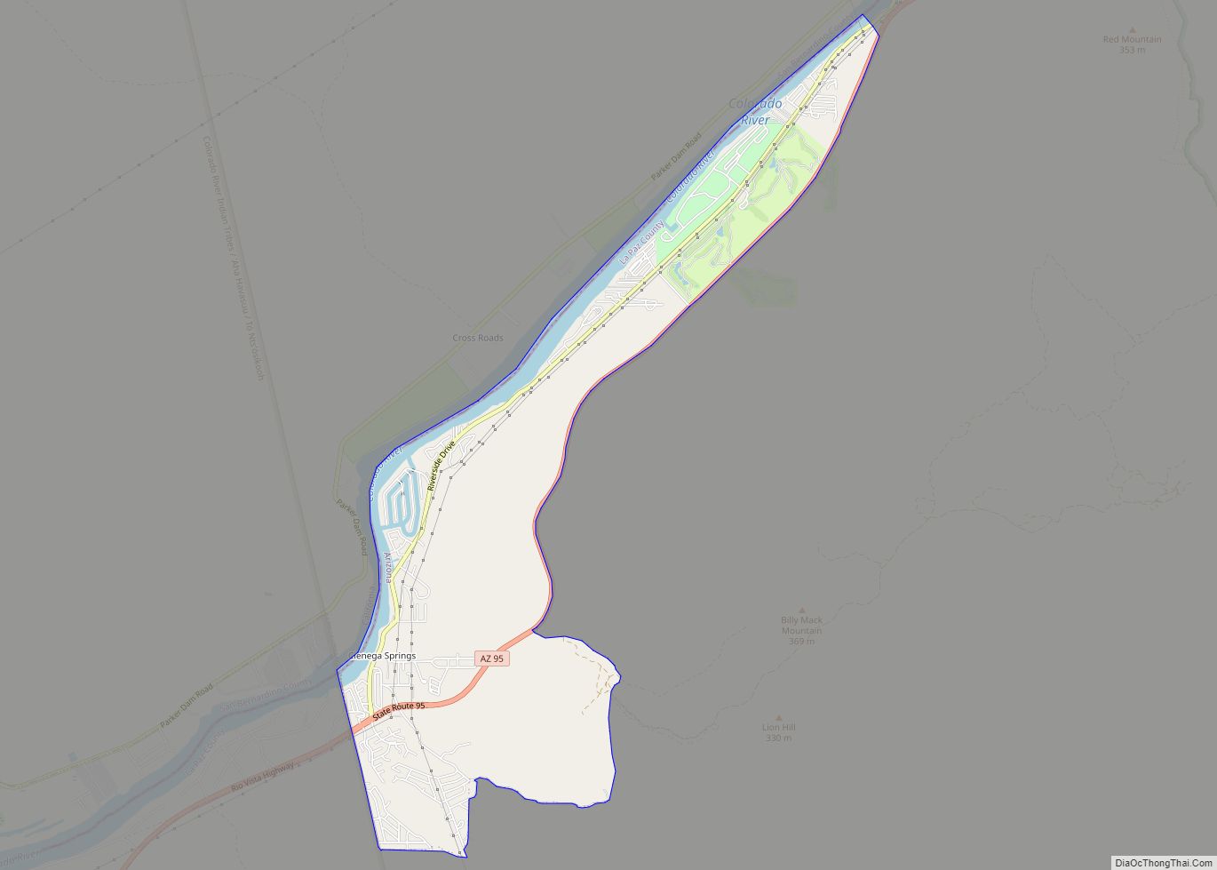
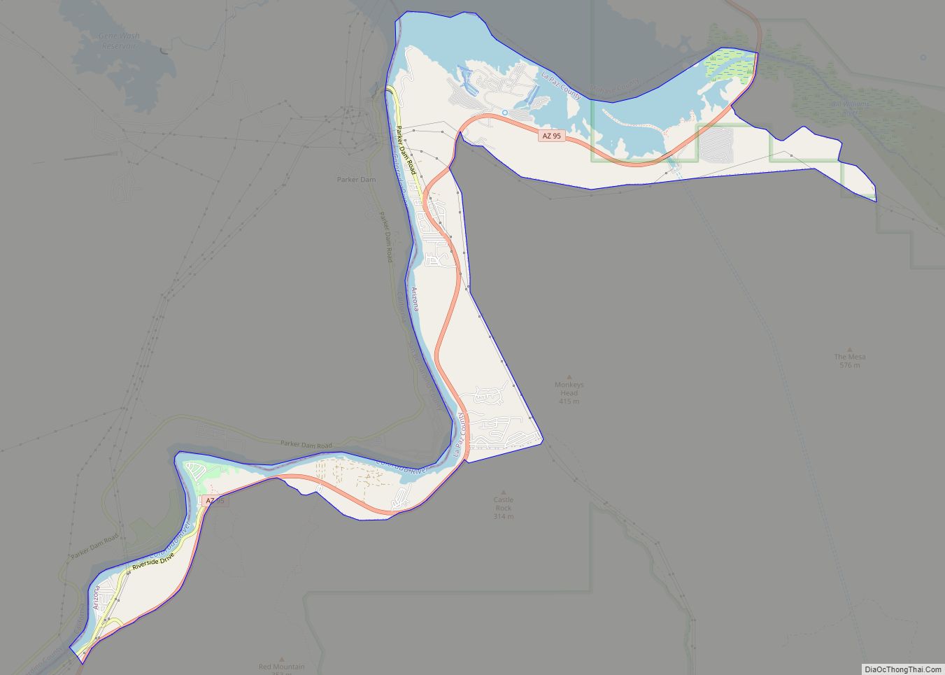
The city is on the Colorado River just south of the Headgate Rock Dam and Moovalya Lake. Arizona State Route 95 and California State Route 62 (across the Colorado River) serve the city.
According to the United States Census Bureau, the town has a total area of 22.0 square miles (57 km), of which 22.0 square miles (57 km) is land and 0.05% is water.
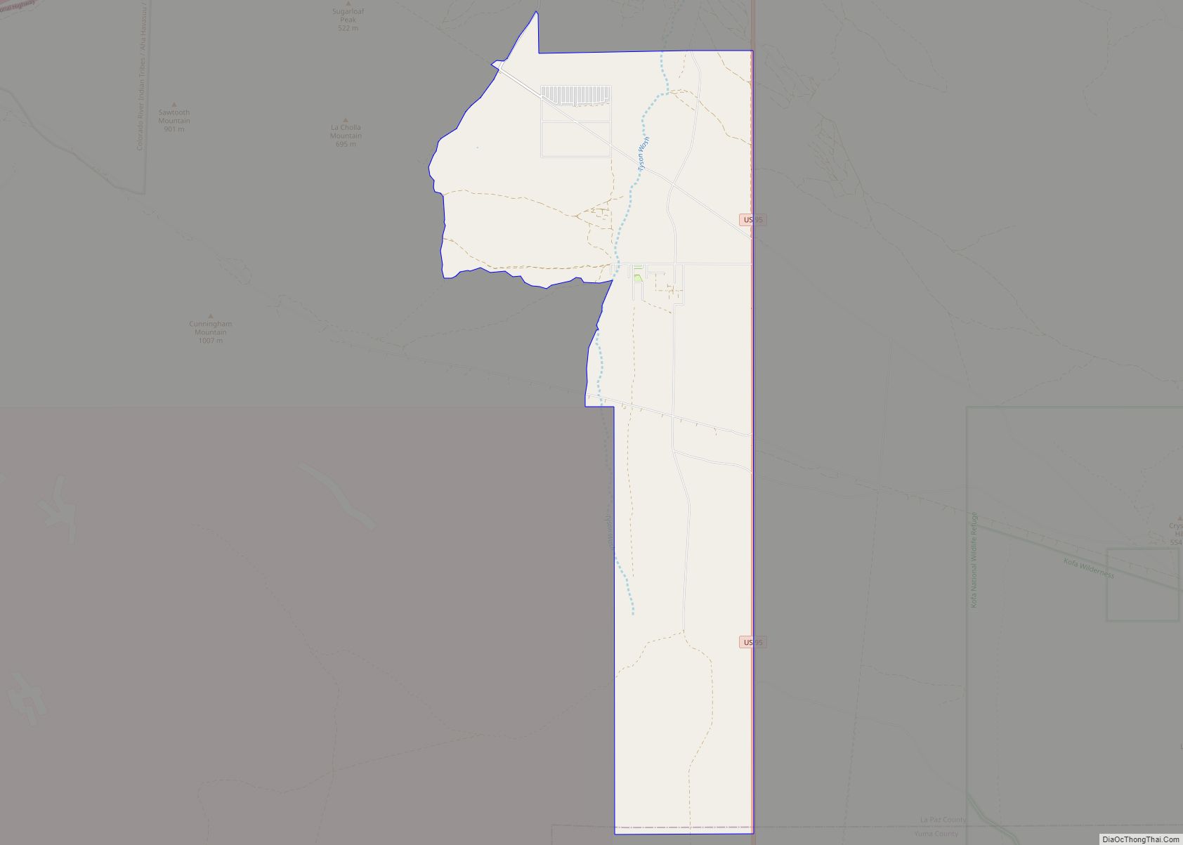
According to Census Bureau maps, the town is divided into two non-contiguous sections; the northern section consists of the original town and is located in the Colorado River Indian reservation and the southern section consists of a larger, roughly rectangular section of largely undeveloped territory. The undeveloped territory consist of extensive unpaved roads. Of the few that are paved, Mohave Road is the most utilized between the town and the territory. The same road can be taken 15.5 miles south to the town of Poston, which is noted for its relocation camps for Japanese Americans during World War II.
See also
Map of Arizona State and its subdivision: Map of other states:- Alabama
- Alaska
- Arizona
- Arkansas
- California
- Colorado
- Connecticut
- Delaware
- District of Columbia
- Florida
- Georgia
- Hawaii
- Idaho
- Illinois
- Indiana
- Iowa
- Kansas
- Kentucky
- Louisiana
- Maine
- Maryland
- Massachusetts
- Michigan
- Minnesota
- Mississippi
- Missouri
- Montana
- Nebraska
- Nevada
- New Hampshire
- New Jersey
- New Mexico
- New York
- North Carolina
- North Dakota
- Ohio
- Oklahoma
- Oregon
- Pennsylvania
- Rhode Island
- South Carolina
- South Dakota
- Tennessee
- Texas
- Utah
- Vermont
- Virginia
- Washington
- West Virginia
- Wisconsin
- Wyoming