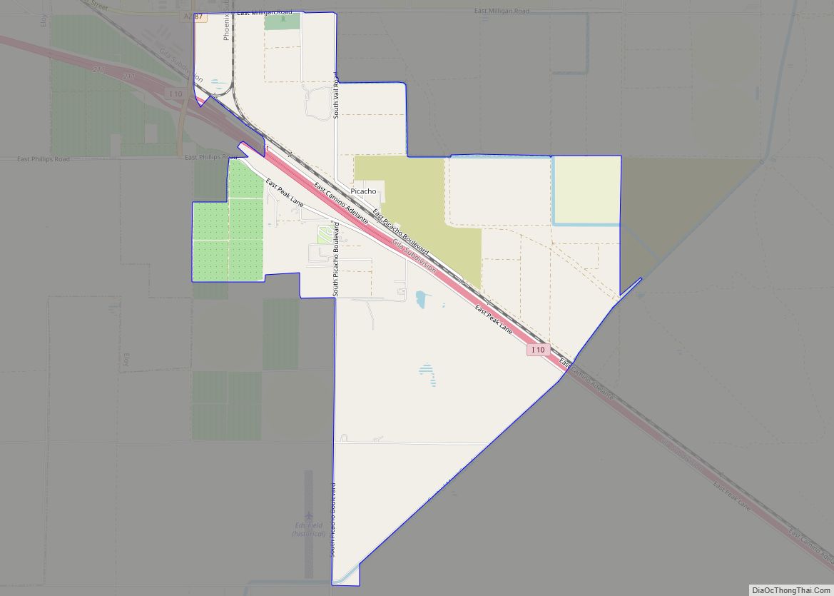
Picacho (/piːkɑːtʃoʊ/) is an unincorporated community and census-designated place in Pinal County, Arizona, United States. The population was 471 at the 2010 census. Picacho is located near Interstate 10, 4.5 miles (7.2 km) southeast of Eloy and 7 miles (11 km) northwest of Picacho Peak State Park. Picacho has a post office with ZIP code 85241, which ... Read more
Arizona Cities and Places
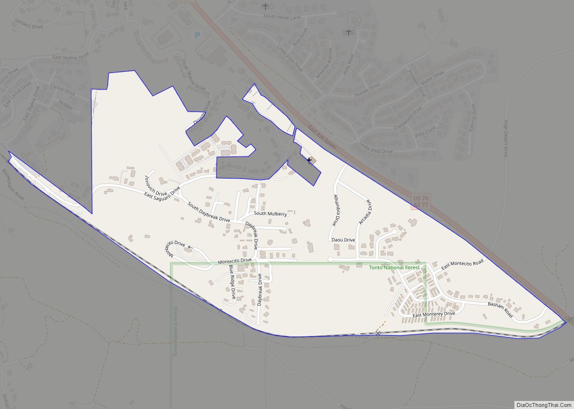
Pinal is a census-designated place (CDP) in Gila County, Arizona, United States. The population was 439 at the 2010 census. Pinal CDP overview: Name: Pinal CDP LSAD Code: 57 LSAD Description: CDP (suffix) State: Arizona County: Gila County Elevation: 3,800 ft (1,200 m) Total Area: 0.42 sq mi (1.08 km²) Land Area: 0.42 sq mi (1.08 km²) Water Area: 0.00 sq mi (0.00 km²) Total Population: ... Read more
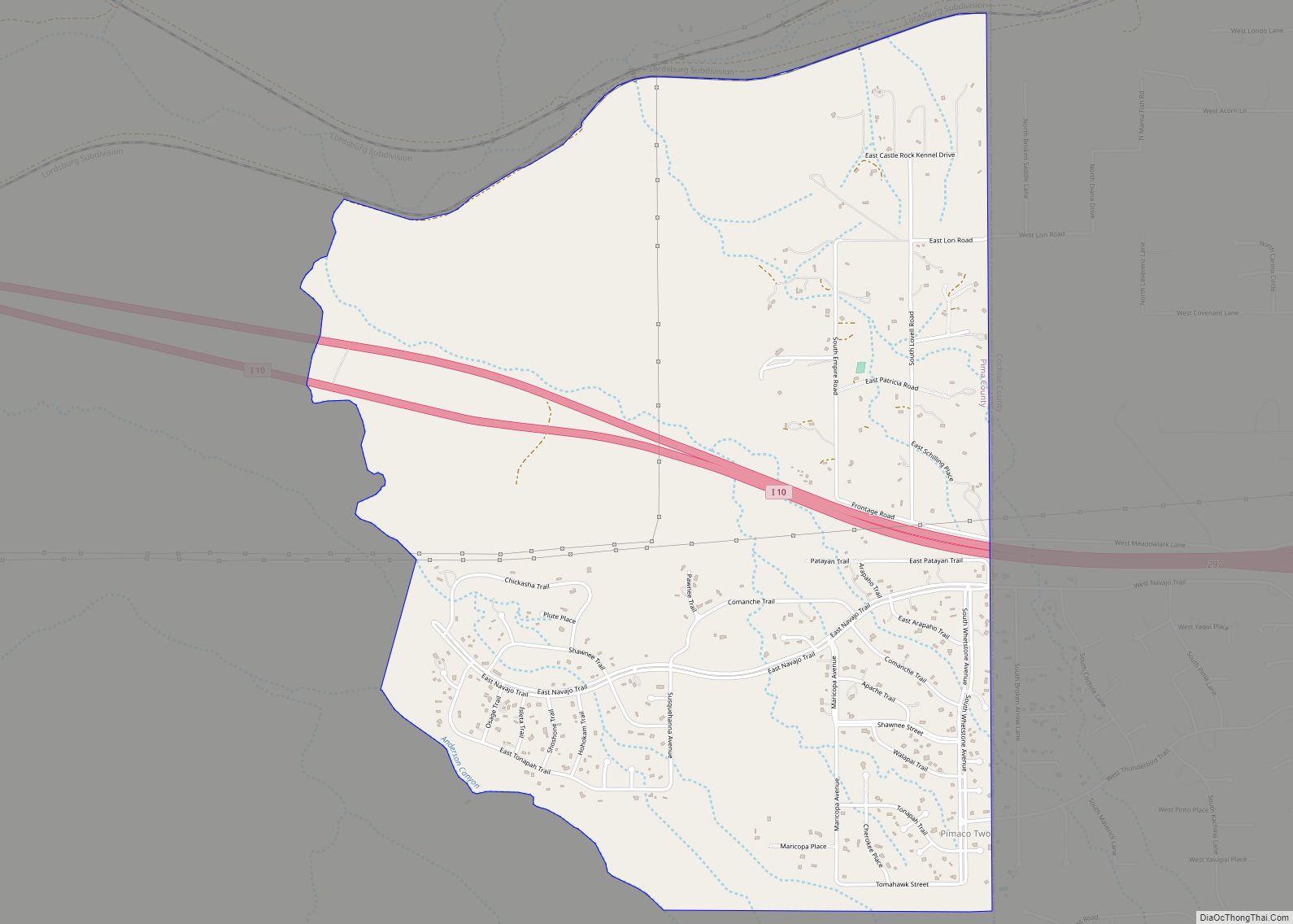
Pimaco Two is a census-designated place (CDP) located in Pima County, Arizona, United States. The population was 682 at the 2010 census. Pimaco Two CDP overview: Name: Pimaco Two CDP LSAD Code: 57 LSAD Description: CDP (suffix) State: Arizona County: Pima County Elevation: 4,094 ft (1,248 m) Total Area: 4.54 sq mi (11.76 km²) Land Area: 4.54 sq mi (11.76 km²) Water Area: ... Read more
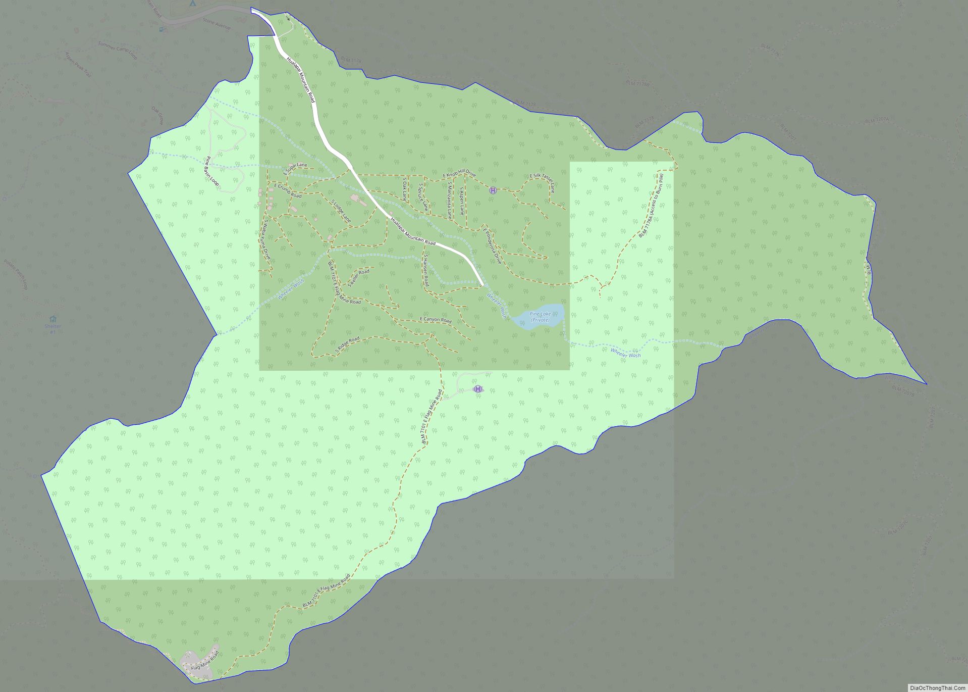
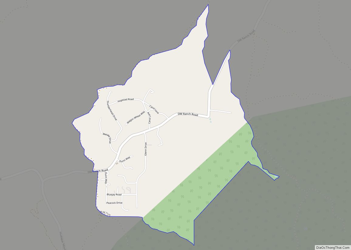
Pine Lake is an unincorporated community and census-designated place (CDP) in Mohave County, Arizona, United States. The population was 142 at the 2020 census. Pine Lake CDP overview: Name: Pine Lake CDP LSAD Code: 57 LSAD Description: CDP (suffix) State: Arizona County: Mohave County Elevation: 6,283 ft (1,915 m) Total Area: 1.69 sq mi (4.37 km²) Land Area: 1.69 sq mi (4.37 km²) ... Read more
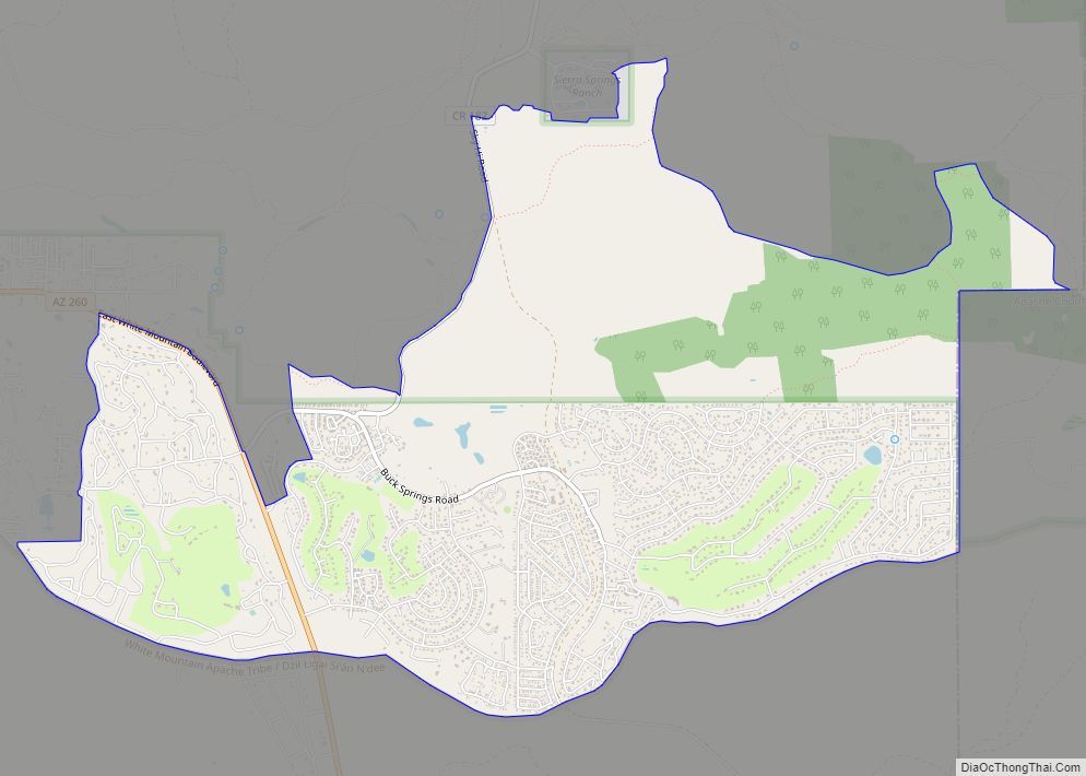
Pinetop Country Club is a census-designated place (CDP) located in Navajo County, Arizona, United States. The population was 1,794 at the 2010 census. Pinetop Country Club CDP overview: Name: Pinetop Country Club CDP LSAD Code: 57 LSAD Description: CDP (suffix) State: Arizona County: Navajo County Elevation: 7,214 ft (2,199 m) Total Area: 6.72 sq mi (17.42 km²) Land Area: 6.72 sq mi ... Read more
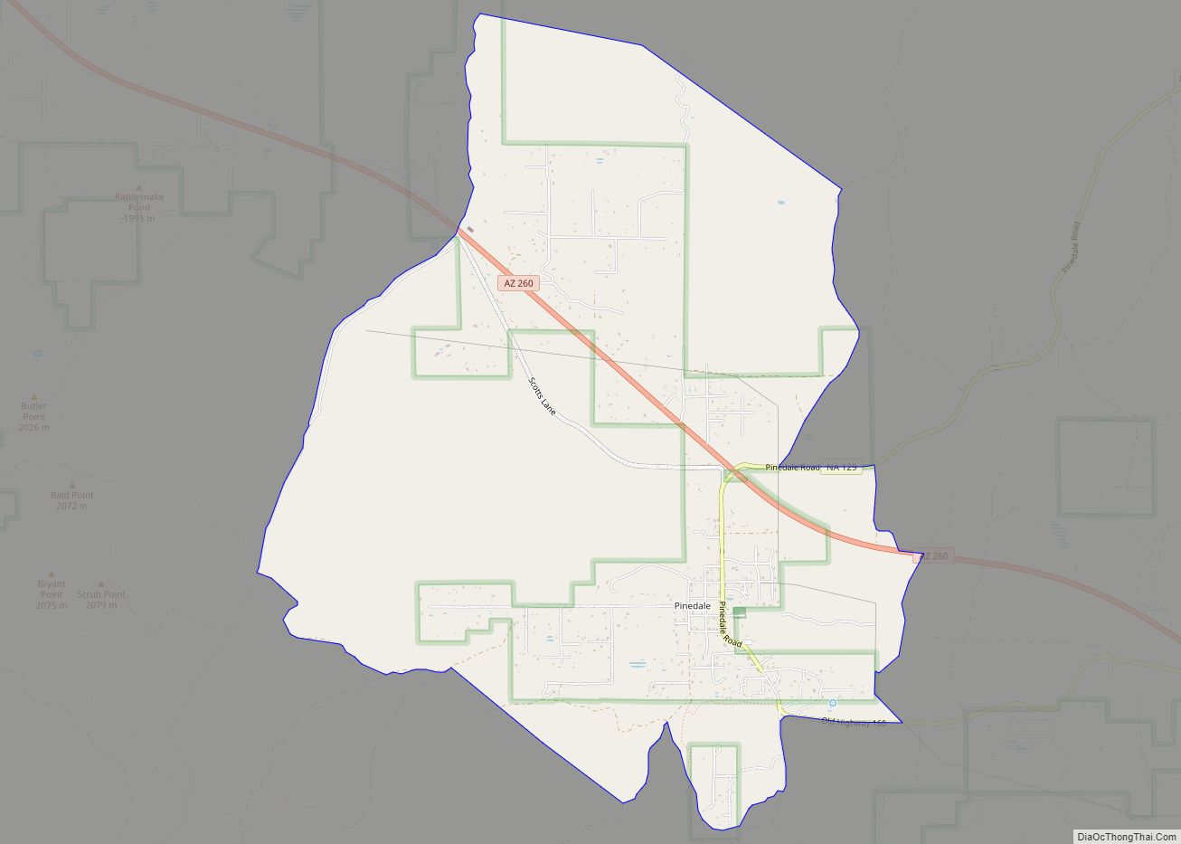
Pinedale is an unincorporated community in Navajo County, Arizona, United States. The population was 487 at the 2010 census. The elevation is approximately 6,500 ft (2,000 m) and it is part of the Mogollon Rim mountain range. Pinedale was first known as Mortensen, after Niels Petersen who established a Mormon settlement there in 1879. It was also ... Read more
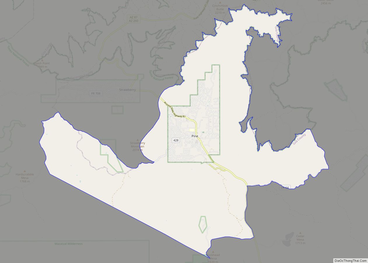
Pine is an unincorporated community and census-designated place (CDP) in Gila County, Arizona, United States. The population was 1,963 at the 2010 census. Pine was established by four Mormon families in 1879. Pine and the adjacent community of Strawberry are rapidly growing vacation and retirement centers in north-central Arizona, below the Mogollon Rim. Pine’s elevation ... Read more
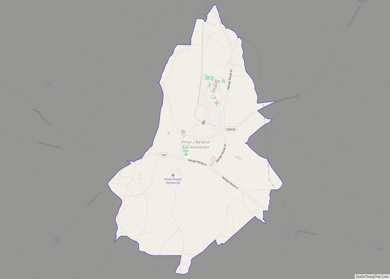
Pinon CDP overview: Name: Pinon CDP LSAD Code: 57 LSAD Description: CDP (suffix) State: Arizona County: Navajo County FIPS code: 0456120 Online Interactive Map Pinon online map. Source: Basemap layers from Google Map, Open Street Map (OSM), Arcgisonline, Wmflabs. Boundary Data from Database of Global Administrative Areas. Pinon location map. Where is Pinon CDP? Pinon ... Read more
Pinion Pines is an unincorporated community and census-designated place (CDP) in Mohave County, Arizona, United States. The population was 158 at the 2020 census. Pinion Pines CDP overview: Name: Pinion Pines CDP LSAD Code: 57 LSAD Description: CDP (suffix) State: Arizona County: Mohave County Elevation: 5,082 ft (1,549 m) Total Area: 1.50 sq mi (3.89 km²) Land Area: 1.50 sq mi (3.89 km²) ... Read more
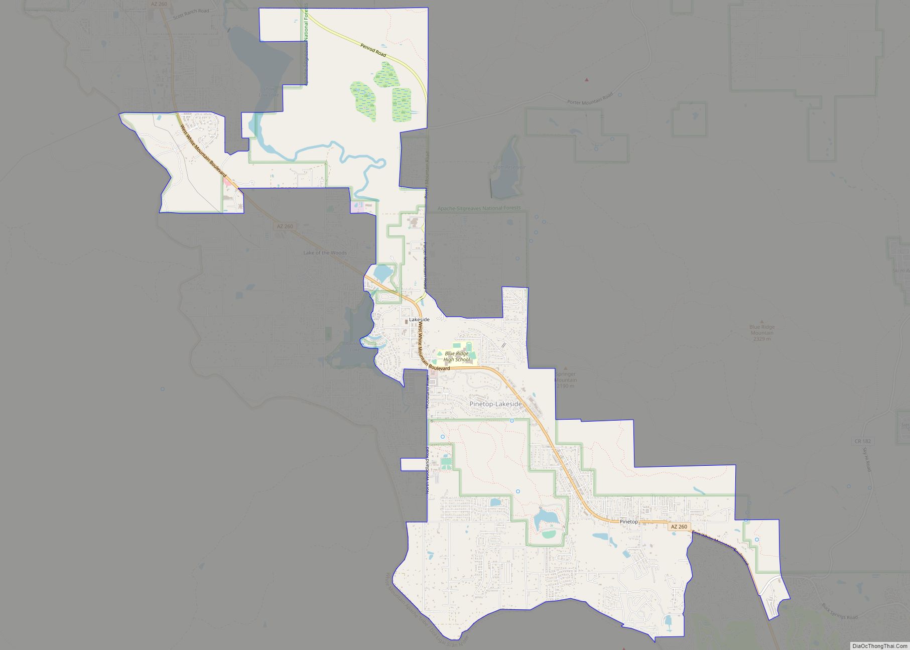
Pinetop–Lakeside is a town in Navajo County, Arizona, United States. According to 2020 census, the population of the town is 4,557. It was founded in 1984 when the neighboring towns of Pinetop and Lakeside merged. Pinetop–Lakeside is a popular summer resort and second-home area for Arizona desert residents. In 2002, a large forest fire, the ... Read more
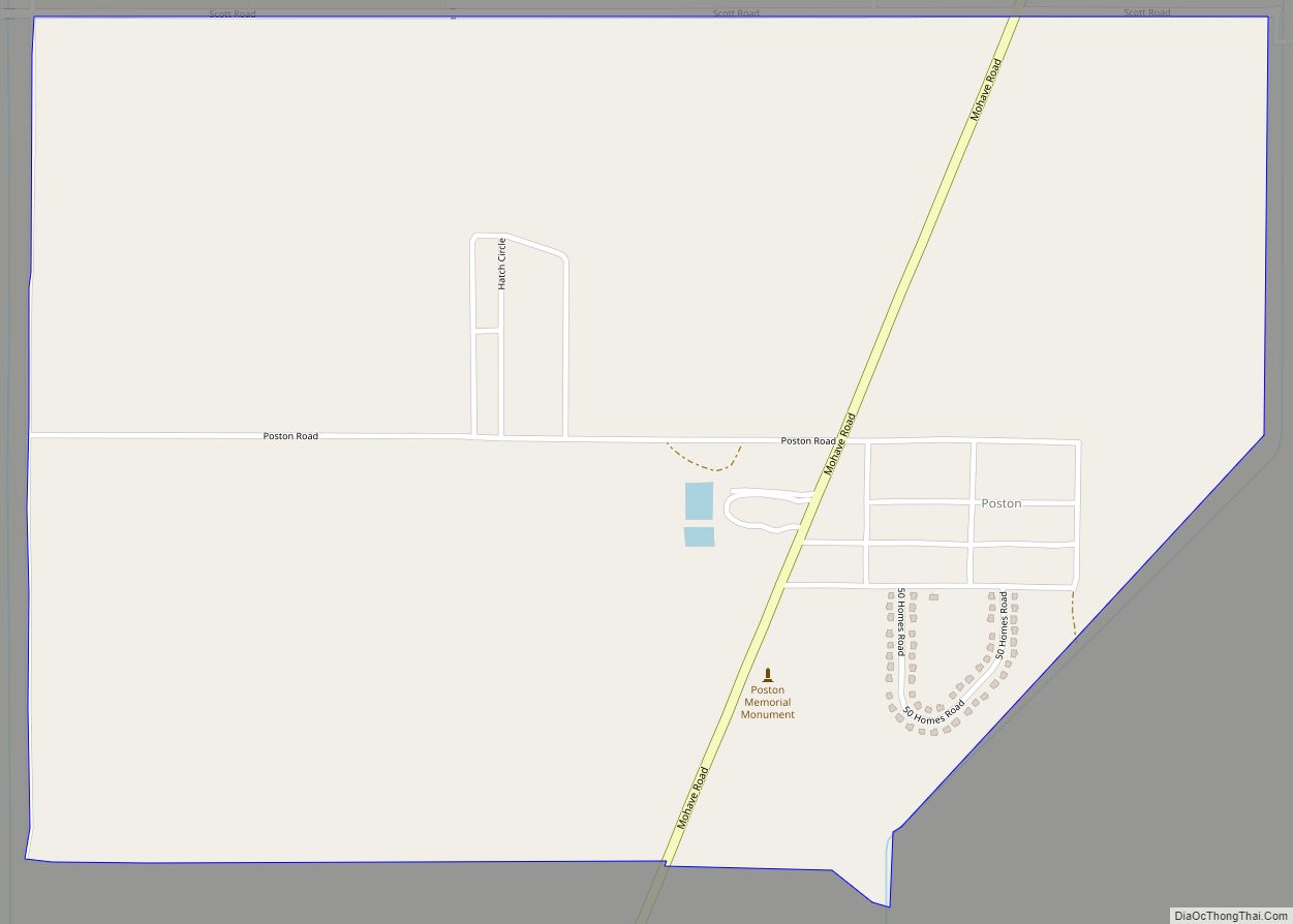
Poston is an unincorporated community and census-designated place (CDP) in La Paz County, Arizona, United States, in the Parker Valley. The population was 285 at the 2010 census, down from 389 in 2000. During World War II, Poston was the site of the Poston War Relocation Center, one of the United States’ largest Japanese-American internment ... Read more
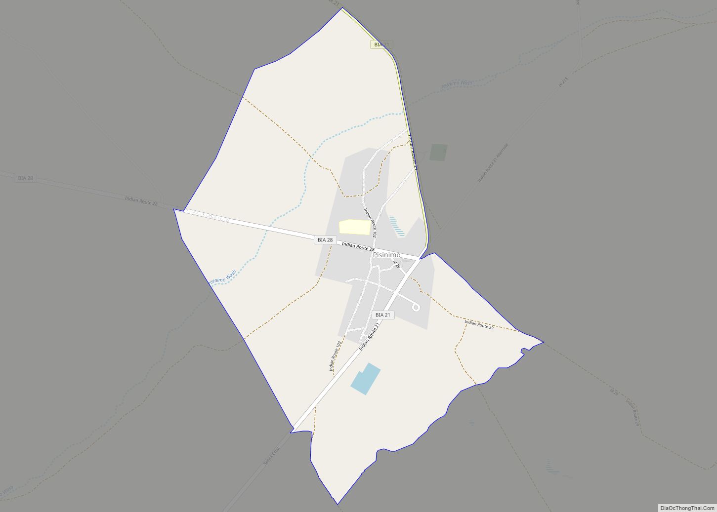
Pisinemo (O’odham Pisin Moʼo name translates as “Buffalo Head”) is a census-designated place (CDP) in Pima County, Arizona, United States. The population was 340 as of the 2020 census. Pisinemo CDP overview: Name: Pisinemo CDP LSAD Code: 57 LSAD Description: CDP (suffix) State: Arizona County: Pima County Elevation: 1,890 ft (576 m) Total Area: 2.27 sq mi (5.88 km²) Land ... Read more
