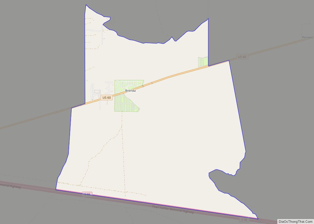
Poston is an unincorporated community and census-designated place (CDP) in La Paz County, Arizona, United States, in the Parker Valley. The population was 285 at the 2010 census, down from 389 in 2000.
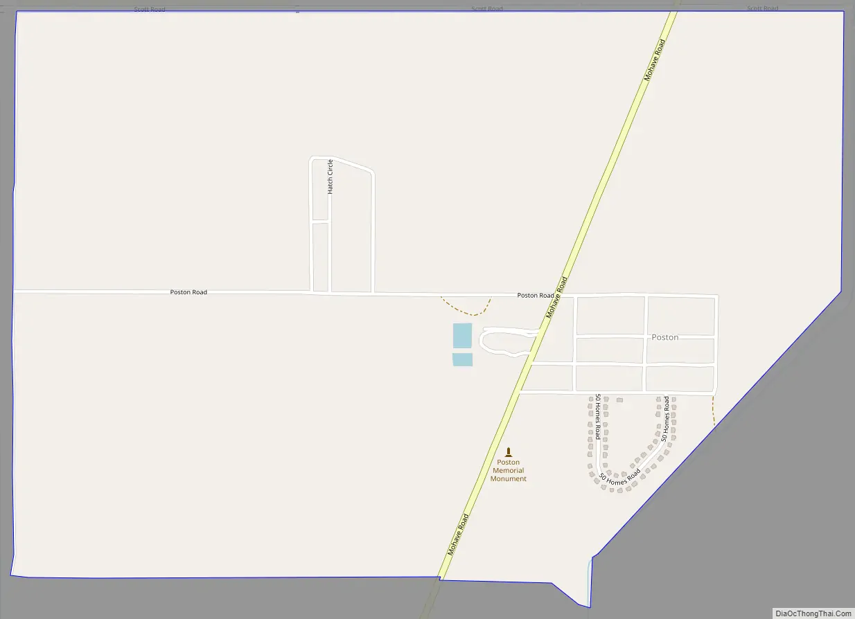
During World War II, Poston was the site of the Poston War Relocation Center, one of the United States’ largest Japanese-American internment camps, where over 17,000 Japanese-Americans were held over a three-year period. The camp sites are now home to a monument dedicated to those interned there.
| Name: | Poston CDP |
|---|---|
| LSAD Code: | 57 |
| LSAD Description: | CDP (suffix) |
| State: | Arizona |
| County: | La Paz County |
| Elevation: | 335 ft (102 m) |
| Total Area: | 1.38 sq mi (3.56 km²) |
| Land Area: | 1.38 sq mi (3.56 km²) |
| Water Area: | 0.00 sq mi (0.00 km²) |
| Total Population: | 183 |
| Population Density: | 133.09/sq mi (51.40/km²) |
| ZIP code: | 85371 |
| Area code: | 928 |
| FIPS code: | 0457170 |
| GNISfeature ID: | 0009680 |
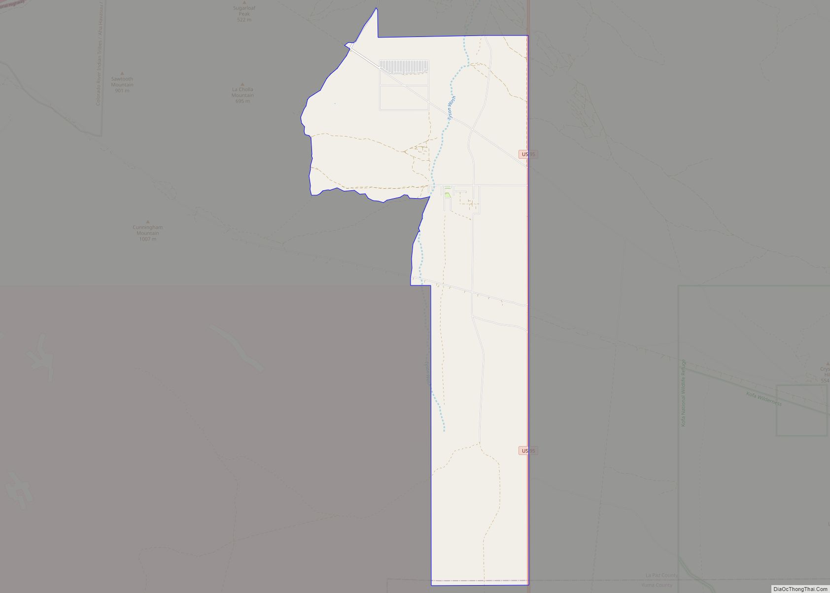
Online Interactive Map
Click on ![]() to view map in "full screen" mode.
to view map in "full screen" mode.
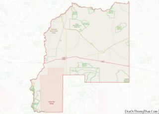
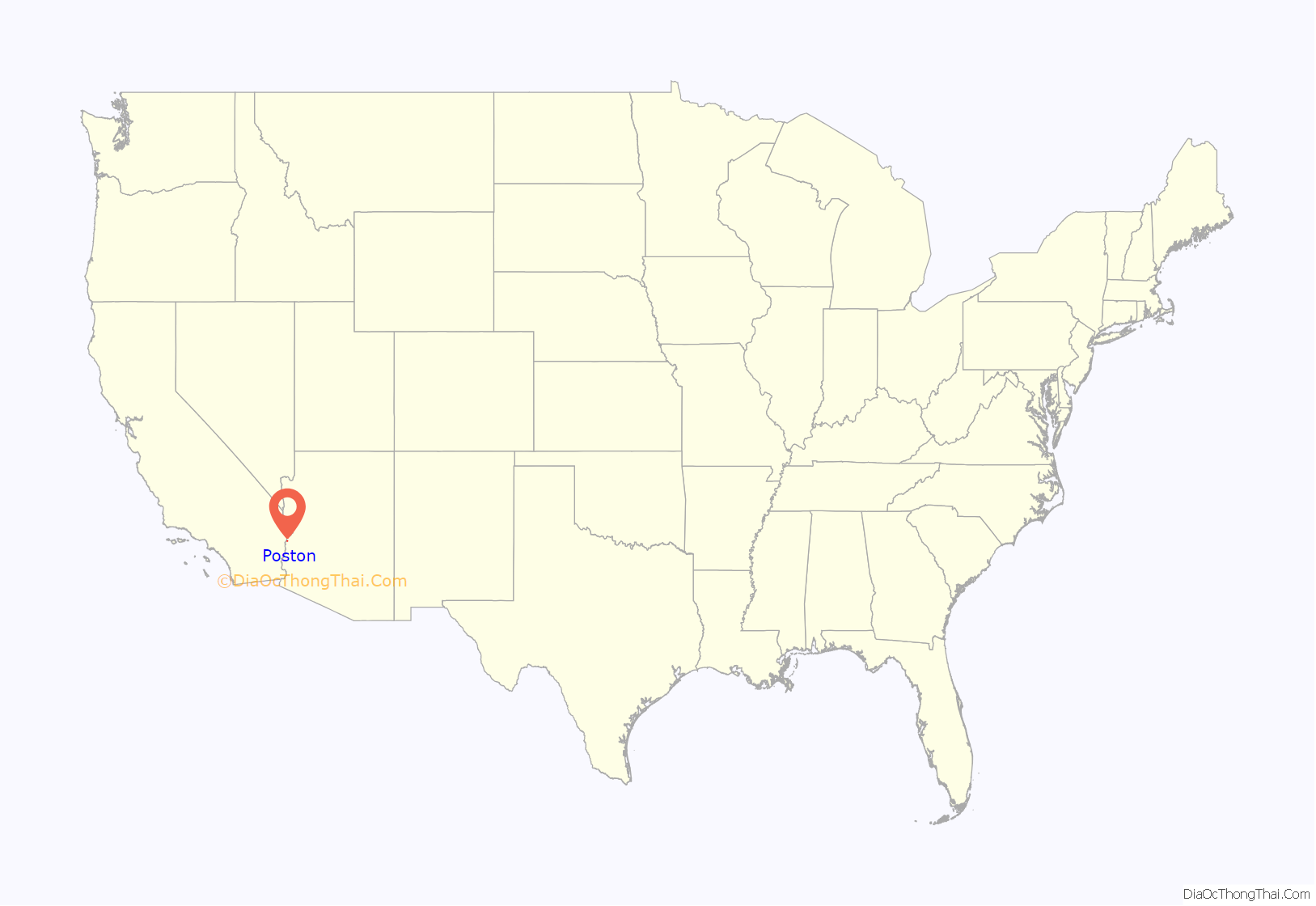
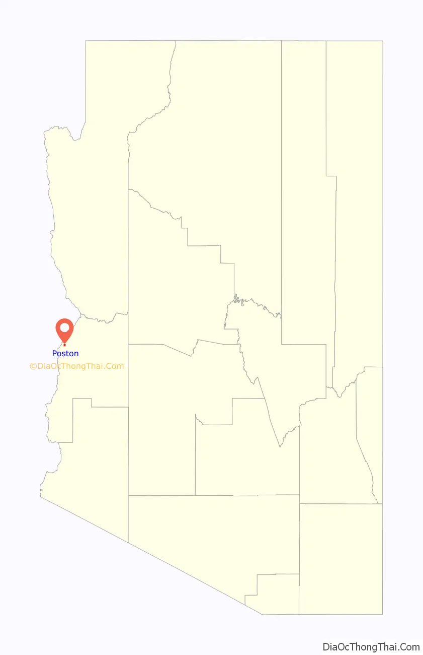
Poston location map. Where is Poston CDP?
Poston Road Map
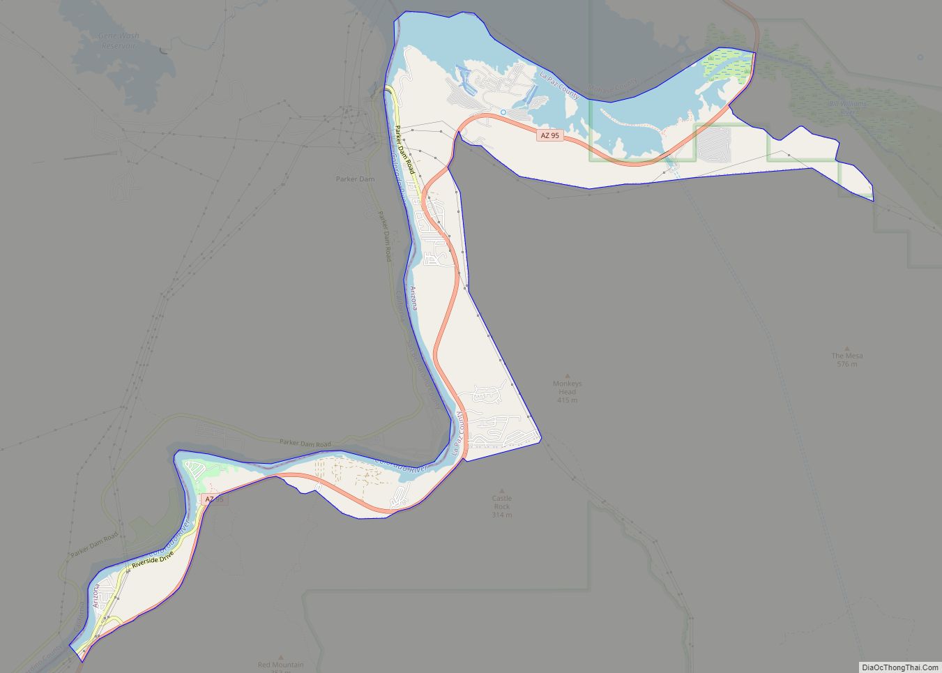
Poston city Satellite Map

Geography
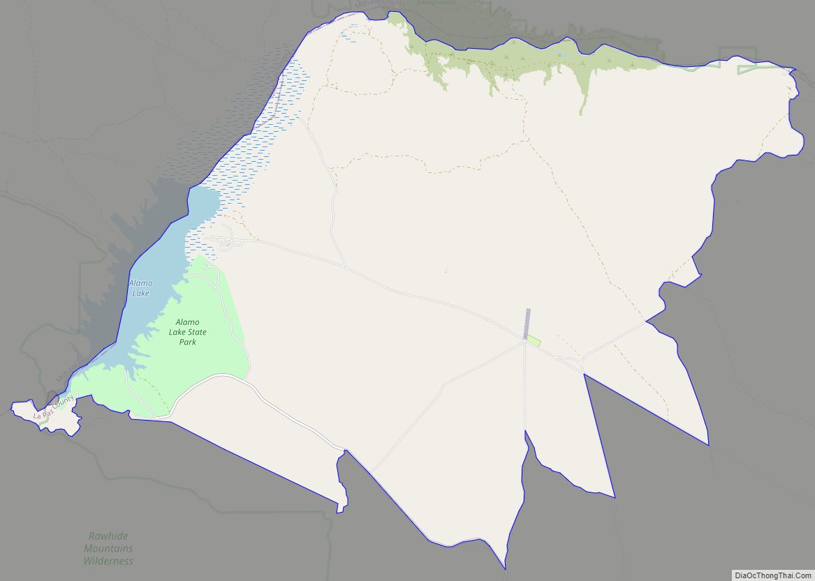
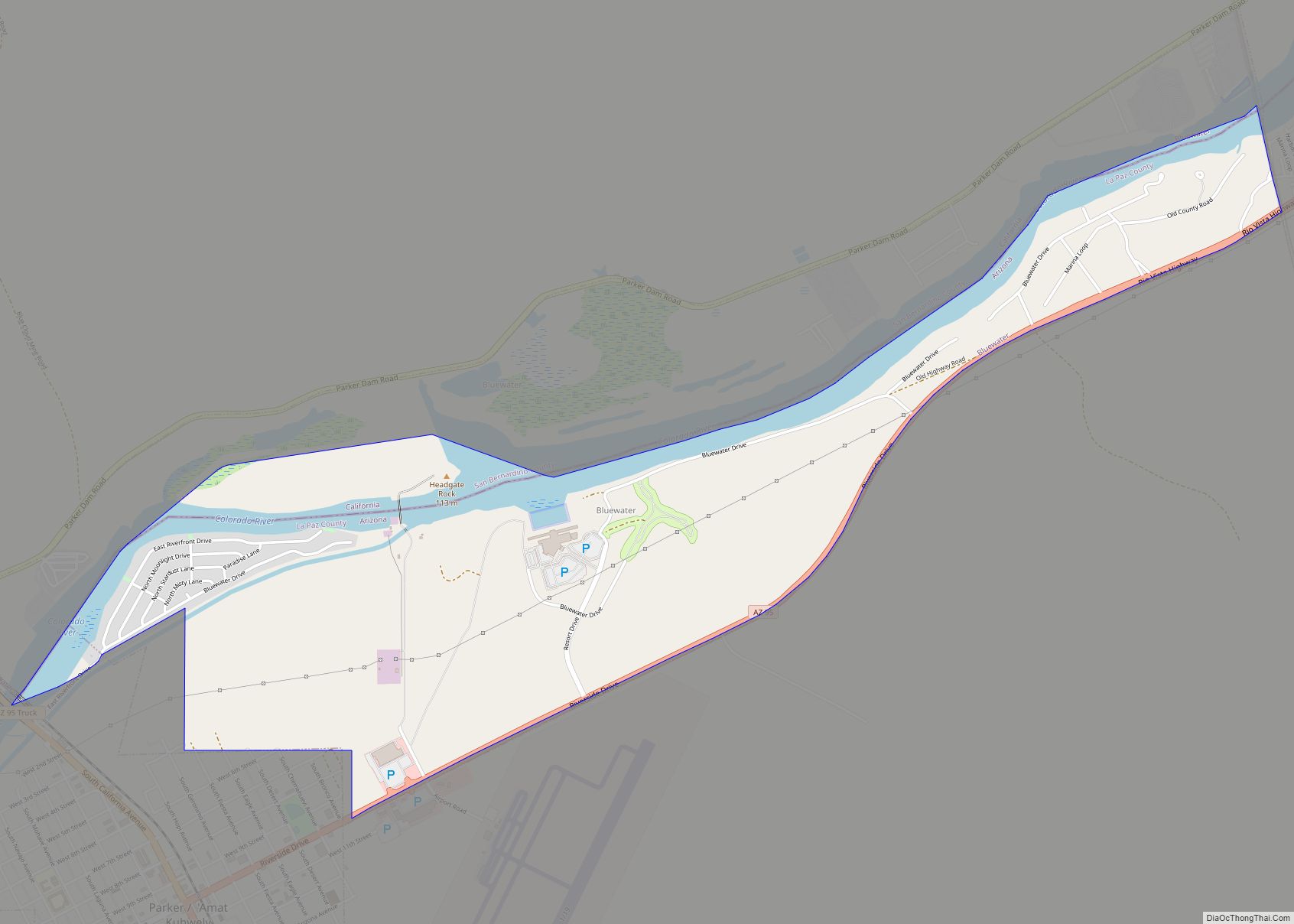
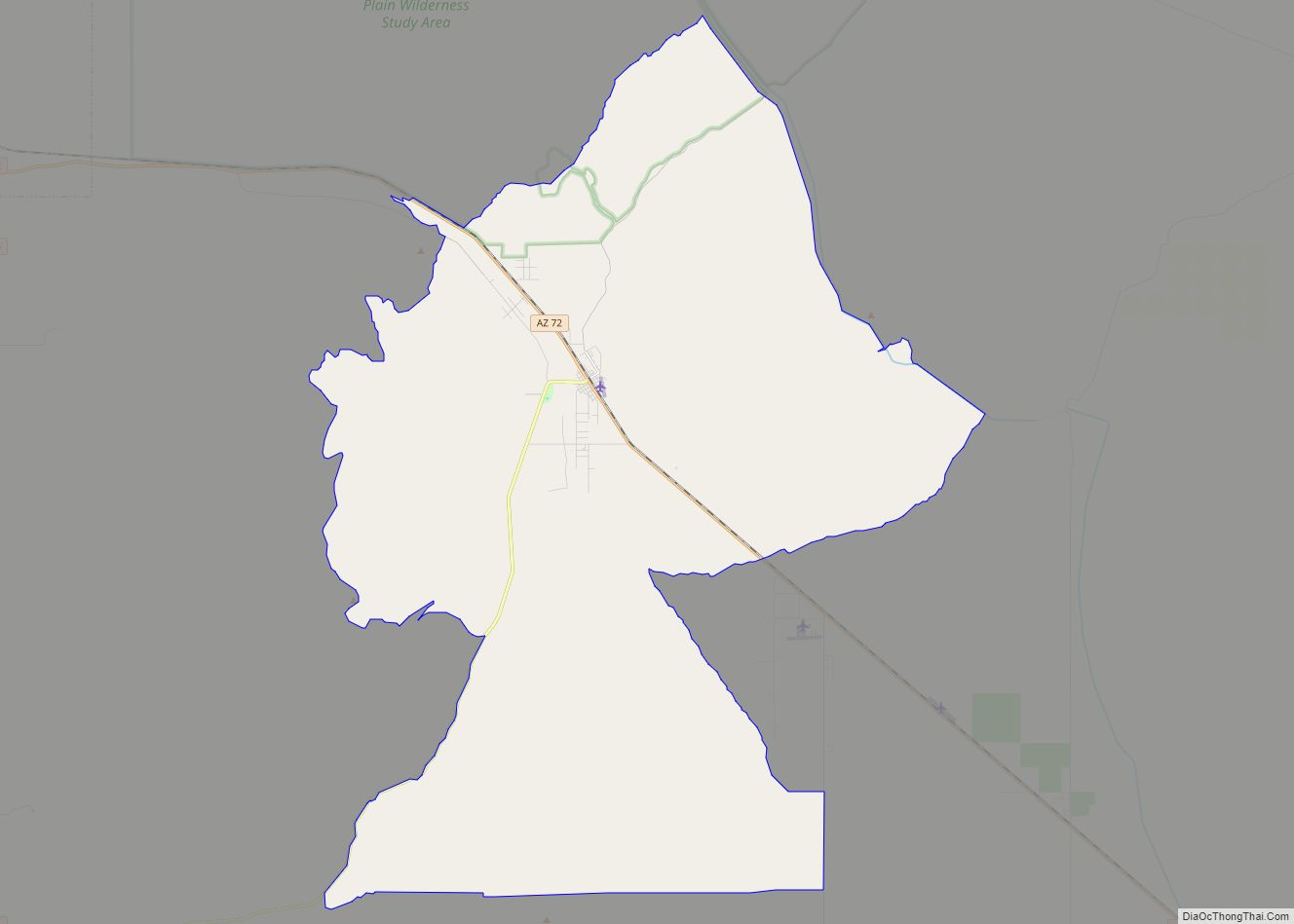
Poston is located in western La Paz County, in the Parker Valley at 33°59′25″N 114°24′4″W / 33.99028°N 114.40111°W / 33.99028; -114.40111 (33.990348, -114.401052). It is 3 miles (5 km) east of the Colorado River, which forms the state border with California. Mohave Road runs through the community, leading north 15 miles (24 km) to Parker and south 28 miles (45 km) to Ehrenberg. The community lies within the boundaries of the Colorado River Indian Reservation.
According to the United States Census Bureau, the Poston CDP has a total area of 1.4 square miles (3.6 km), all land.
See also
Map of Arizona State and its subdivision: Map of other states:- Alabama
- Alaska
- Arizona
- Arkansas
- California
- Colorado
- Connecticut
- Delaware
- District of Columbia
- Florida
- Georgia
- Hawaii
- Idaho
- Illinois
- Indiana
- Iowa
- Kansas
- Kentucky
- Louisiana
- Maine
- Maryland
- Massachusetts
- Michigan
- Minnesota
- Mississippi
- Missouri
- Montana
- Nebraska
- Nevada
- New Hampshire
- New Jersey
- New Mexico
- New York
- North Carolina
- North Dakota
- Ohio
- Oklahoma
- Oregon
- Pennsylvania
- Rhode Island
- South Carolina
- South Dakota
- Tennessee
- Texas
- Utah
- Vermont
- Virginia
- Washington
- West Virginia
- Wisconsin
- Wyoming