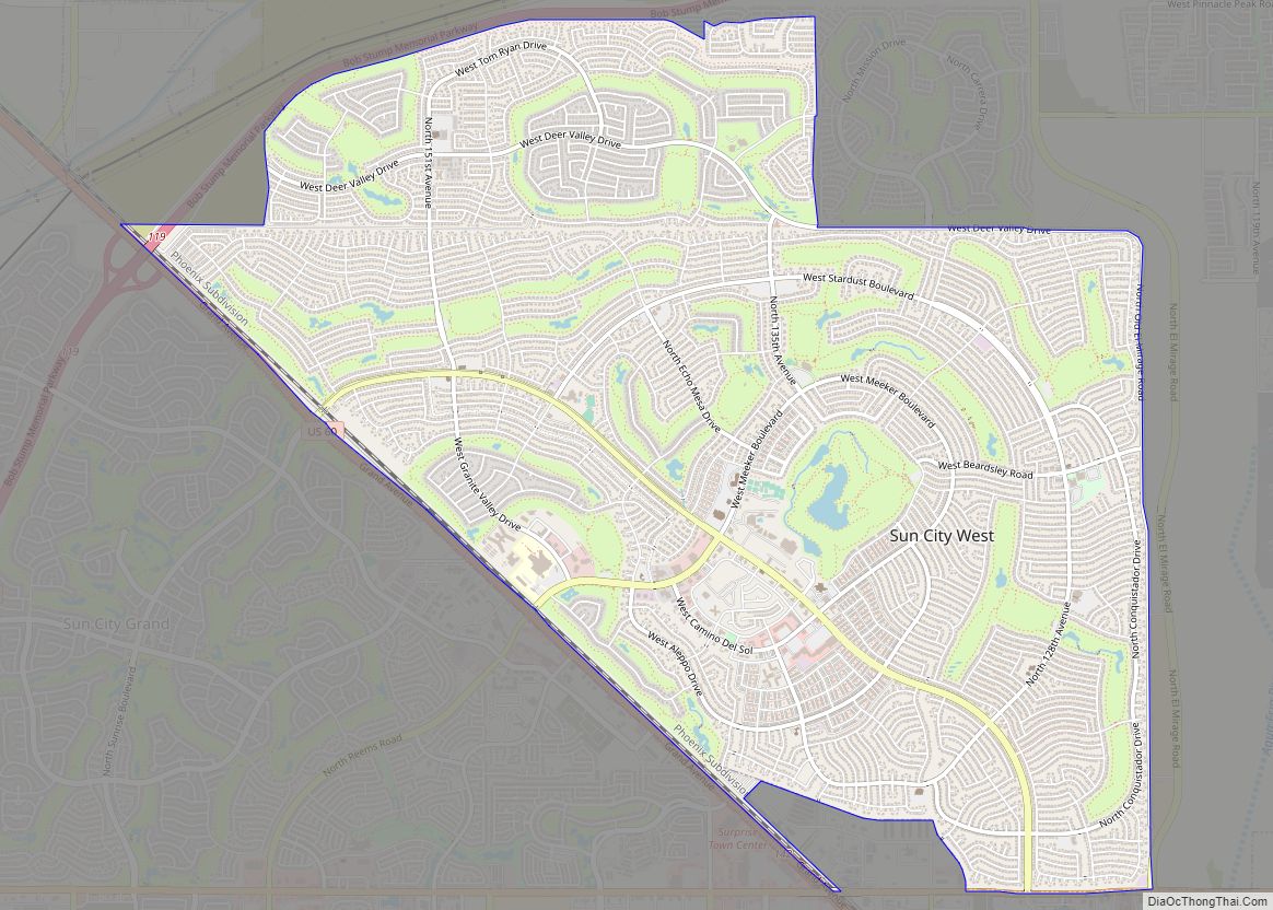
Sun City West is an unincorporated community and census-designated place (CDP) in Maricopa County, Arizona, United States. The population was 25,806 at the 2020 census. Sun City West CDP overview: Name: Sun City West CDP LSAD Code: 57 LSAD Description: CDP (suffix) State: Arizona County: Maricopa County Elevation: 1,234 ft (376 m) Total Area: 11.97 sq mi (30.99 km²) Land ... Read more
Arizona Cities and Places
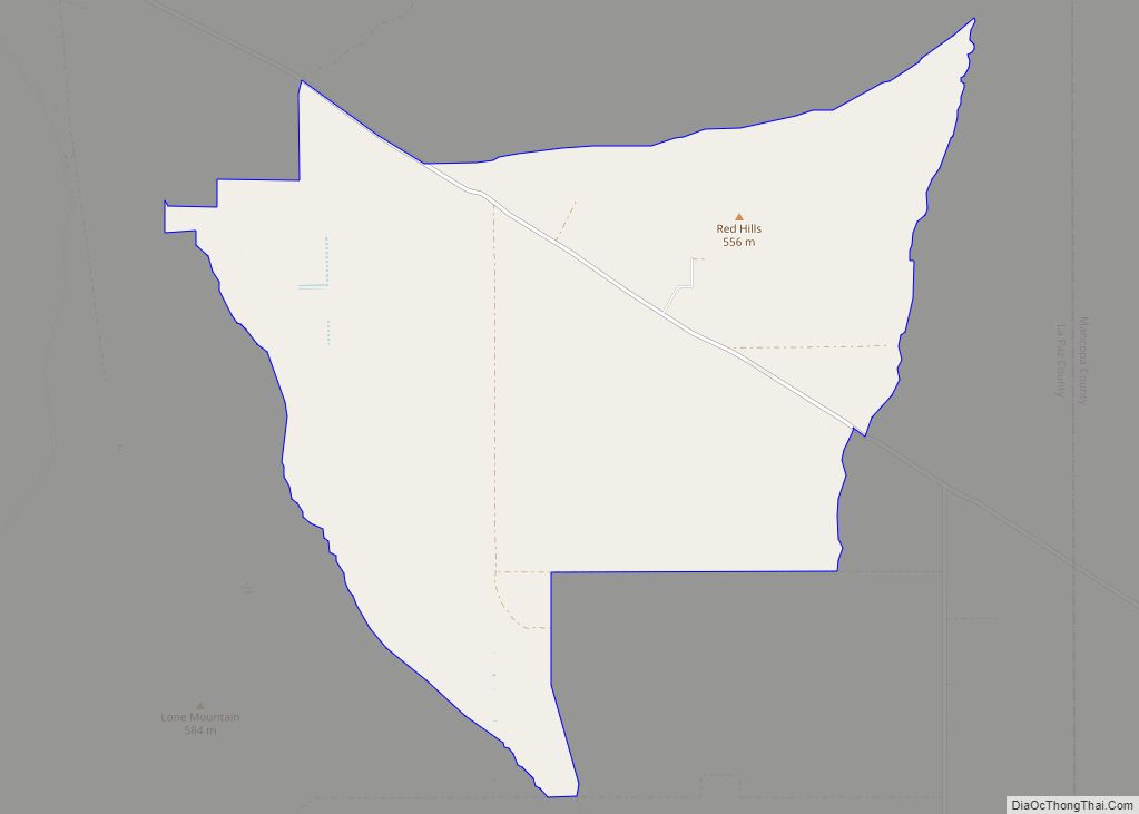
Sunwest is a census-designated place in La Paz County, Arizona, United States. Its population was 5 as of the 2020 census. Sunwest CDP overview: Name: Sunwest CDP LSAD Code: 57 LSAD Description: CDP (suffix) State: Arizona County: La Paz County Elevation: 1,503 ft (458 m) Total Area: 24.25 sq mi (62.80 km²) Land Area: 24.25 sq mi (62.80 km²) Water Area: 0.00 sq mi (0.00 km²) ... Read more
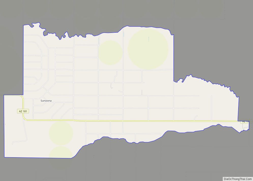
Sunizona is a census-designated place in the central portion of Cochise County in the state of Arizona, United States. Sunizona is located approximately 10 miles to the east of Pearce along Arizona State Highway 181, near US 191. According to the U.S. Census Bureau, the population of Sunizona was 212 in 2019. The median household ... Read more
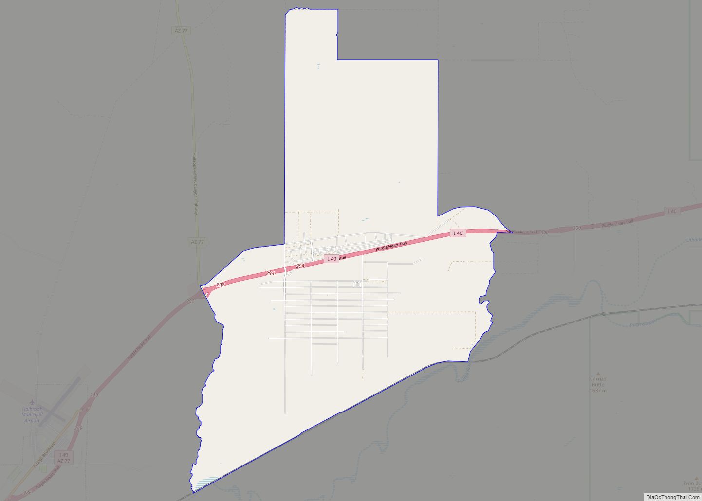
Sun Valley is a populated place in Navajo County, Arizona, United States, east of Holbrook along Interstate 40. It is located at 34°58′50″N 110°3′29″W / 34.98056°N 110.05806°W / 34.98056; -110.05806 in the Painted Desert and covers an area of 31.6 square miles. Sun Valley CDP overview: Name: Sun Valley CDP LSAD Code: 57 LSAD Description: ... Read more
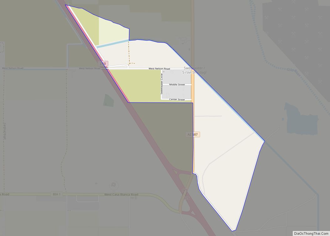
Sweet Water Village (O’odham: S-iʼovĭ Shu:dagĭ) is a census-designated place (CDP) in Pinal County, Arizona, United States, located in the Gila River Indian Community. The population was 83 at the 2010 census. Sweet Water Village CDP overview: Name: Sweet Water Village CDP LSAD Code: 57 LSAD Description: CDP (suffix) State: Arizona County: Pinal County Total ... Read more
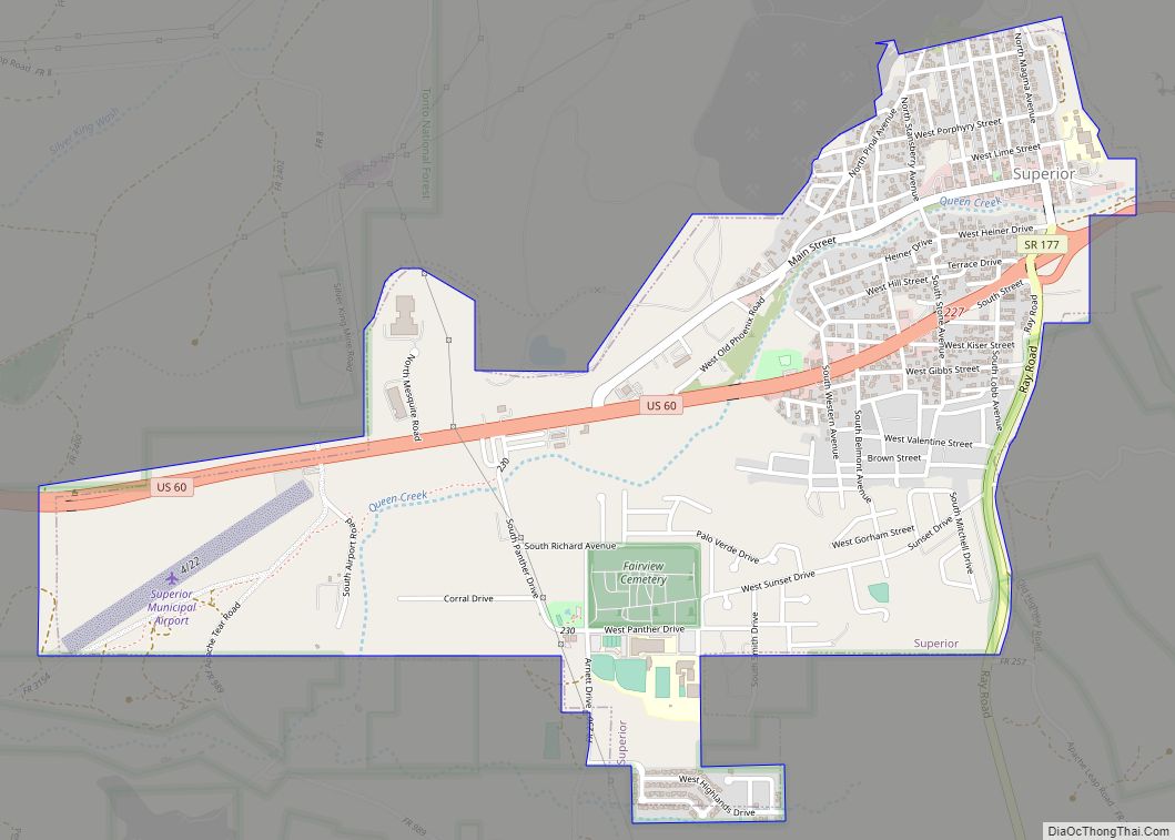
Superior (Western Apache: Yooʼ Łigai) is a town in Pinal County, Arizona. According to the 2020 census, the population of the town is 2,407. Superior was founded as a mining town for the Silver King and the later Magma mines; silver was mined at first, and then transitioned to copper. Currently, exploitation of the huge ... Read more
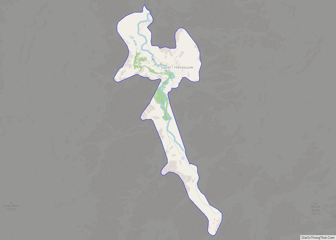
Supai (Havasupai: Havasuuw) is a census-designated place (CDP) in Coconino County, Arizona, United States, within the Grand Canyon. As of the 2010 census, the CDP had a population of 208. The capital of the Havasupai Indian Reservation, Supai is the only place in the United States where mail is still carried in and out by ... Read more
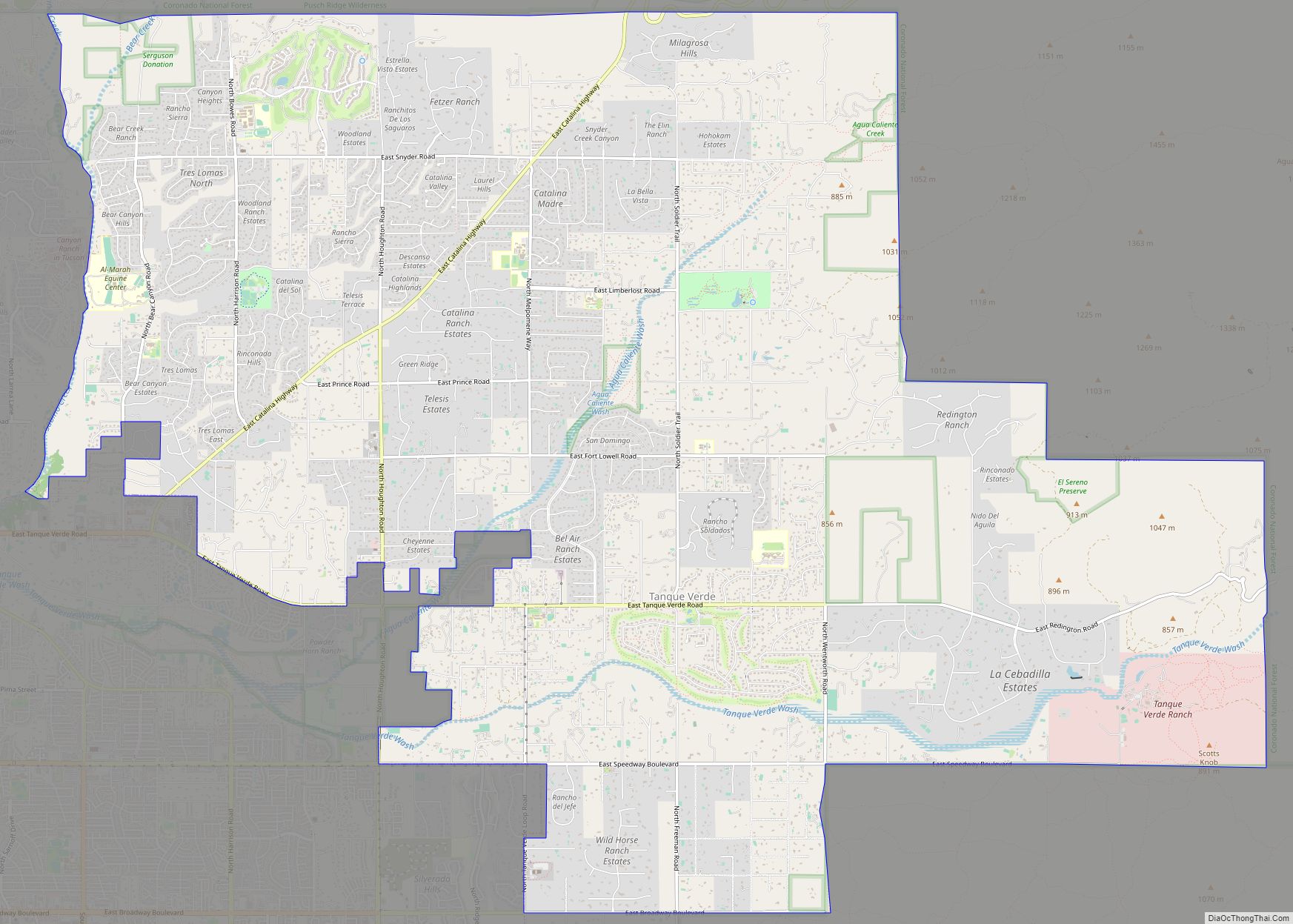
Tanque Verde is a suburban unincorporated community in Pima County, Arizona, United States, northeast of Tucson. The population was 16,195 at the 2000 census. For statistical purposes, the United States Census Bureau has defined Tanque Verde as a census-designated place (CDP). Tanque Verde CDP overview: Name: Tanque Verde CDP LSAD Code: 57 LSAD Description: CDP ... Read more
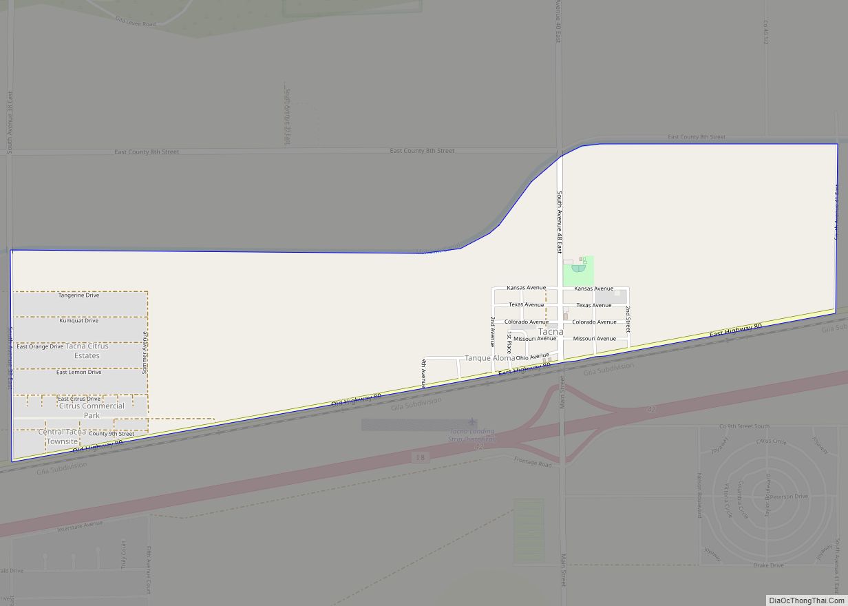
Tacna is a census-designated place (CDP) in Yuma County, Arizona, United States. The population was 555 at the 2000 census, and 602 as of 2010. It is part of the Yuma Metropolitan Statistical Area. Tacna CDP overview: Name: Tacna CDP LSAD Code: 57 LSAD Description: CDP (suffix) State: Arizona County: Yuma County Elevation: 351 ft (107 m) ... Read more
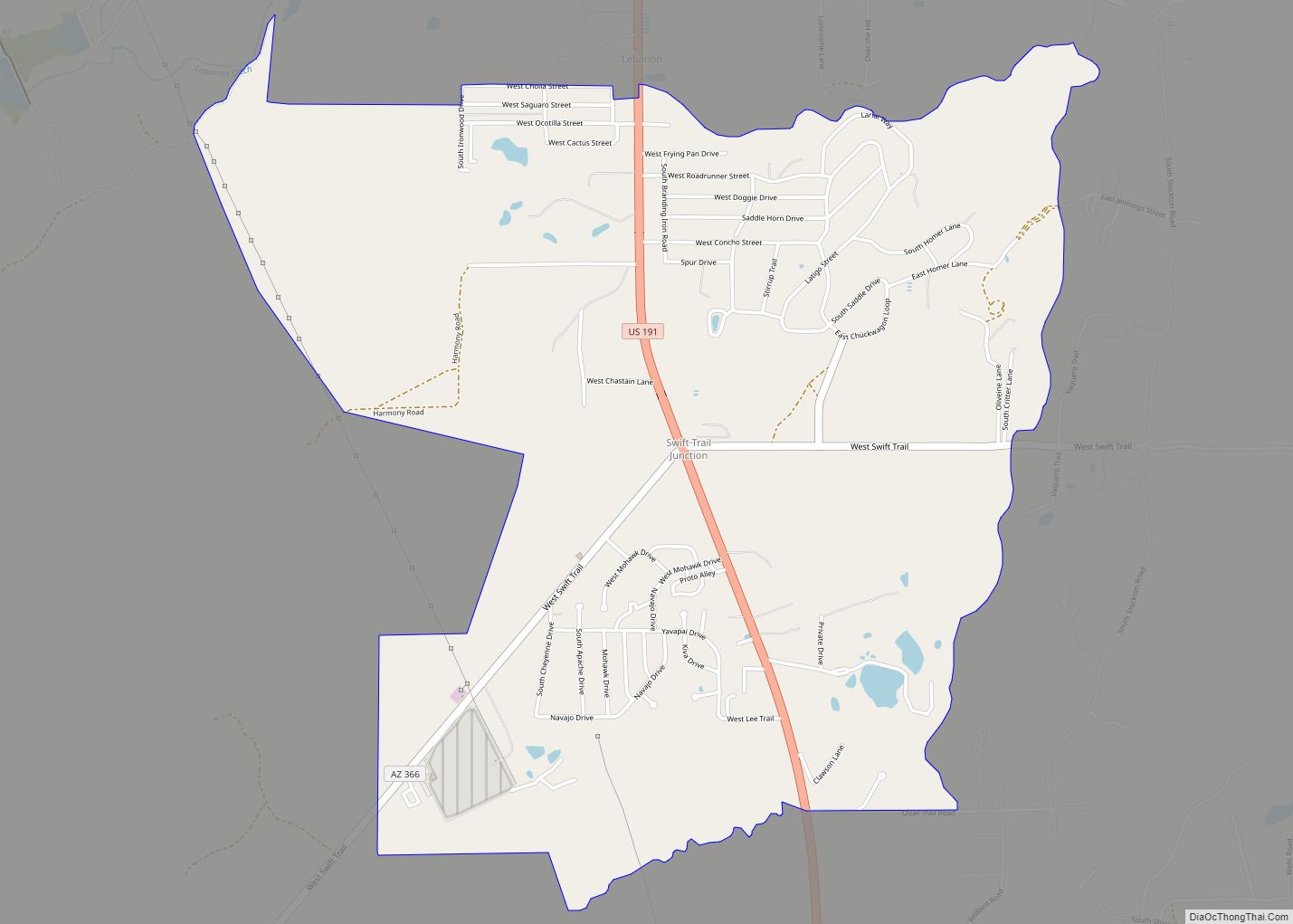
Swift Trail Junction is a census-designated place (CDP) in Graham County, Arizona, United States. The population was 2,935 at the 2010 census, up from 2,195 in 2000. It is part of the Safford Micropolitan Statistical Area. Swift Trail Junction CDP overview: Name: Swift Trail Junction CDP LSAD Code: 57 LSAD Description: CDP (suffix) State: Arizona ... Read more
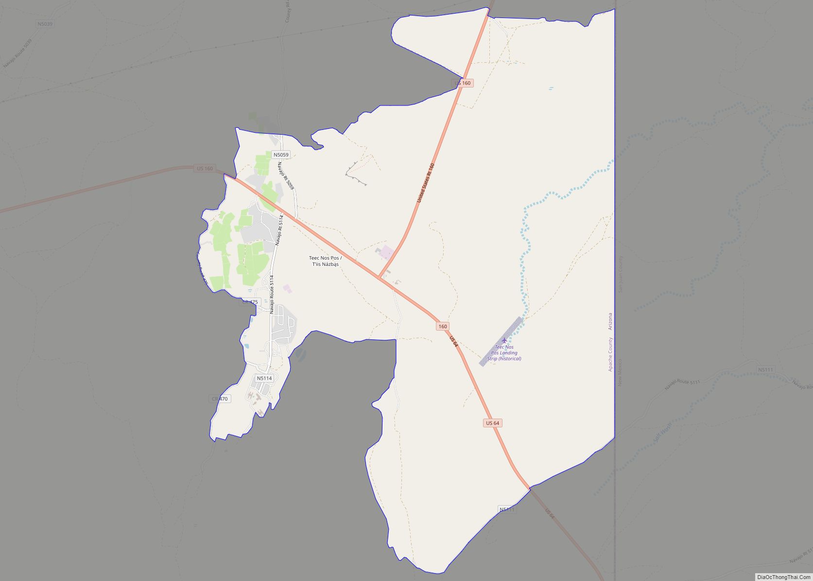
Teec Nos Pos (Navajo: T’iis Názbąs) is a census-designated place (CDP) in Apache County, Arizona, United States. The population was 507 at the 2020 census. It is the western terminus of U.S. Route 64. Teec Nos Pos CDP overview: Name: Teec Nos Pos CDP LSAD Code: 57 LSAD Description: CDP (suffix) State: Arizona County: Apache ... Read more
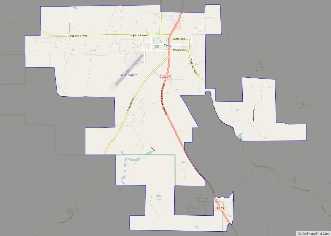
Taylor is a town in Navajo County, Arizona, United States. It was founded by Mormon settlers in January 1878, several months before the neighboring community of Snowflake. Taylor straddles Silver Creek, flowing from the nearby White Mountains to the Little Colorado River on Arizona’s Colorado Plateau. According to the 2010 census, the population of the ... Read more
