Sun City West is an unincorporated community and census-designated place (CDP) in Maricopa County, Arizona, United States. The population was 25,806 at the 2020 census.
| Name: | Sun City West CDP |
|---|---|
| LSAD Code: | 57 |
| LSAD Description: | CDP (suffix) |
| State: | Arizona |
| County: | Maricopa County |
| Elevation: | 1,234 ft (376 m) |
| Total Area: | 11.97 sq mi (30.99 km²) |
| Land Area: | 11.93 sq mi (30.89 km²) |
| Water Area: | 0.04 sq mi (0.10 km²) |
| Total Population: | 25,806 |
| Population Density: | 2,163.84/sq mi (835.44/km²) |
| ZIP code: | 85375 |
| Area code: | 623 |
| FIPS code: | 0470355 |
| GNISfeature ID: | 25111 |
Online Interactive Map
Click on ![]() to view map in "full screen" mode.
to view map in "full screen" mode.
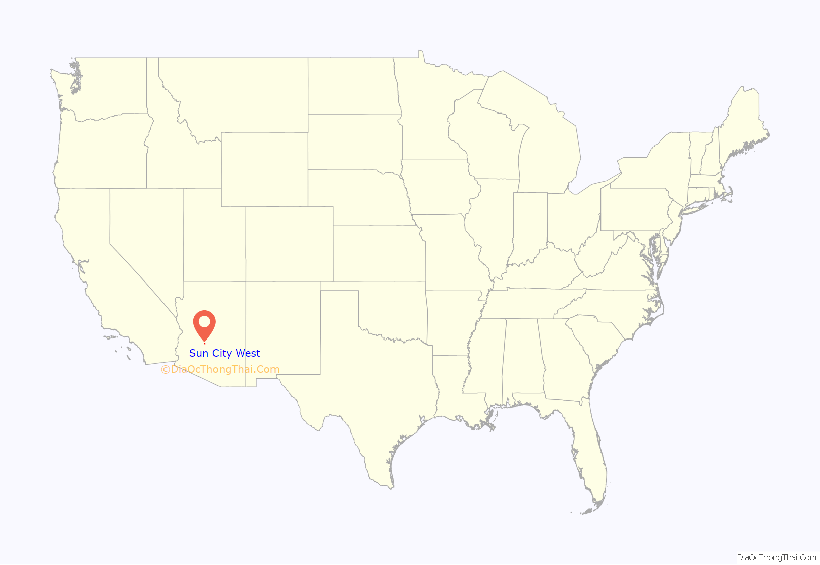
Sun City West location map. Where is Sun City West CDP?

History
Sun City West was constructed on an 11,000-acre (4,500 ha) site to the west of Sun City, including part of the former Lizard Acres cattle ranch. Sun City West was completely built out in 1998, and a sister city, Sun City Grand, to the west of Grand Avenue was started.
Due to the 2019-20 coronavirus pandemic the city announced on March 11, 2020, the closures of all recreation centers to help reduce the spread of COVID-19. This later led to the closures of all seven golf courses on April 13, 2020.
Sun City West Road Map

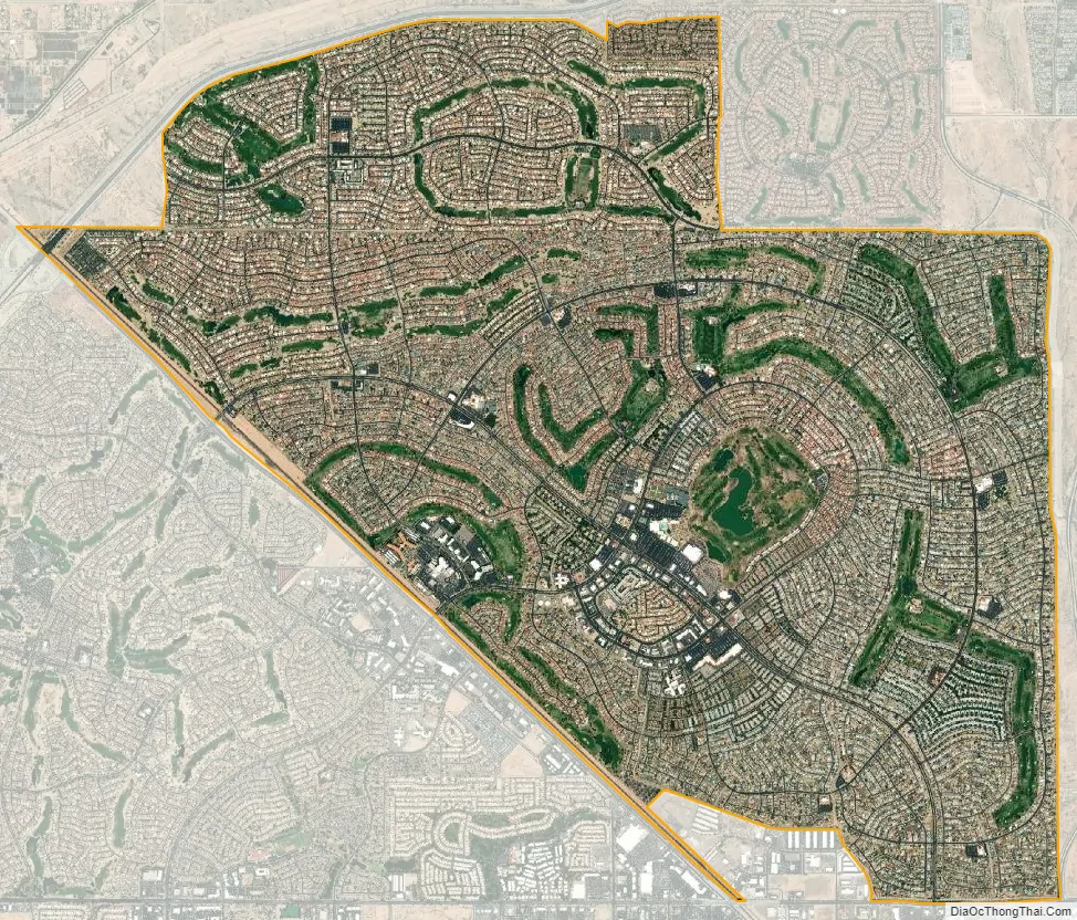
Sun City West city Satellite Map
Geography
Sun City West is located 23 miles (37 km) northwest of downtown Phoenix at 33°39′43″N 112°21′31″W / 33.66194°N 112.35861°W / 33.66194; -112.35861 (33.661829, −112.358740). It is bordered to the south, west, and north by the city of Surprise. U.S. Route 60 runs along the southwest border of the community, and the Arizona State Route 303 freeway bounds the community to the north and northwest.
According to the United States Census Bureau, the CDP has a total area of 12.0 square miles (31 km), of which 0.04 square miles (0.10 km), or 0.33%, are water.
See also
Map of Arizona State and its subdivision: Map of other states:- Alabama
- Alaska
- Arizona
- Arkansas
- California
- Colorado
- Connecticut
- Delaware
- District of Columbia
- Florida
- Georgia
- Hawaii
- Idaho
- Illinois
- Indiana
- Iowa
- Kansas
- Kentucky
- Louisiana
- Maine
- Maryland
- Massachusetts
- Michigan
- Minnesota
- Mississippi
- Missouri
- Montana
- Nebraska
- Nevada
- New Hampshire
- New Jersey
- New Mexico
- New York
- North Carolina
- North Dakota
- Ohio
- Oklahoma
- Oregon
- Pennsylvania
- Rhode Island
- South Carolina
- South Dakota
- Tennessee
- Texas
- Utah
- Vermont
- Virginia
- Washington
- West Virginia
- Wisconsin
- Wyoming


