Avenue B and C or B&C Colonia is a census-designated place (CDP) and colonia in Yuma County, Arizona, United States. The population was 4,176 at the 2010 census. Area that are part of Avenue B and C were first subdivided in the 1920s and 1930s. The colonia received a sewer system in 2011. It is ... Read more
Arizona Cities and Places
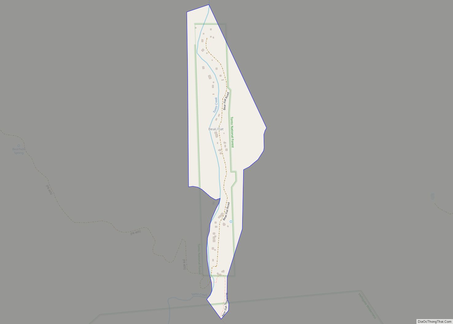
Bear Flat is a census-designated place (CDP) in Gila County, Arizona, United States. Bear Flat is located in the valley of Tonto Creek, 18 miles (29 km) east of the town of Payson. The population as of the 2010 census was 18. Bear Flat CDP overview: Name: Bear Flat CDP LSAD Code: 57 LSAD Description: CDP ... Read more
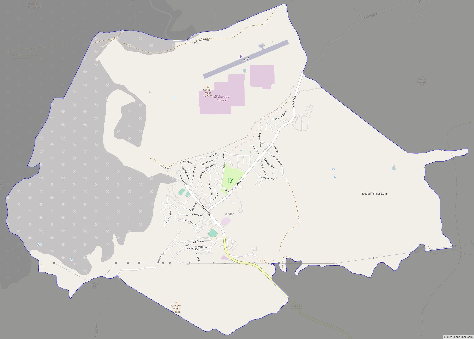
Bagdad is a copper mining community and census-designated place (CDP) in Yavapai County, Arizona, United States, in the western part of the state. It is one of only two remaining company towns in Arizona. The population was 1,876 at the 2010 census, up from 1,578 in 2000. Bagdad CDP overview: Name: Bagdad CDP LSAD Code: ... Read more
Aztec is a census designated place situated in Yuma County, Arizona, United States. It had a population of 47 as of the 2010 U.S. Census. As of July 2015, Aztec had an estimated population of 52. It has an estimated elevation of 509 feet (155 m) above sea level. It is located along Interstate 8 to ... Read more
Benson is a city in Cochise County, Arizona, United States, 45 miles (72 km) east-southeast of Tucson. It was founded as a rail terminal for the area, and still serves as such. As of the 2010 census, the population of the city was 5,105. Benson city overview: Name: Benson city LSAD Code: 25 LSAD Description: city ... Read more
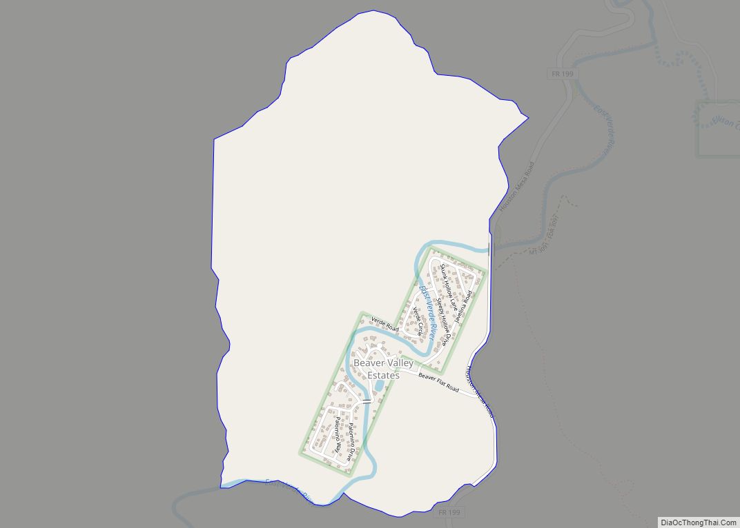
Beaver Valley is a census-designated place in Gila County in the state of Arizona. Beaver Valley is located about 10 miles north of the town of Payson. The population, as of the 2010 U.S. Census, was 231. Beaver Valley CDP overview: Name: Beaver Valley CDP LSAD Code: 57 LSAD Description: CDP (suffix) State: Arizona County: ... Read more
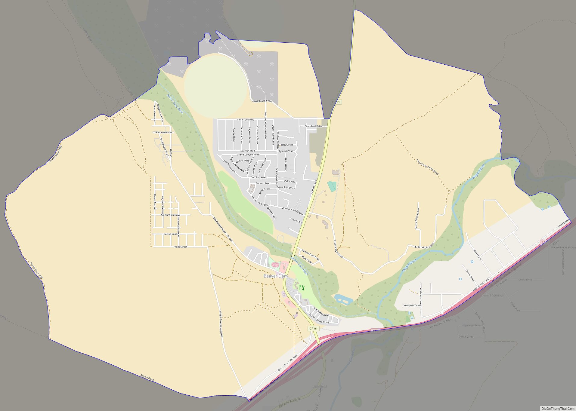
Beaver Dam is an unincorporated community and census-designated place (CDP) in Mohave County, Arizona, United States, that is located in the Arizona Strip region and was settled in 1863. It is located along Interstate 15 approximately 10 miles (16 km) northeast of Mesquite, Nevada. It is located in the 86432 ZIP Code. It had a population ... Read more
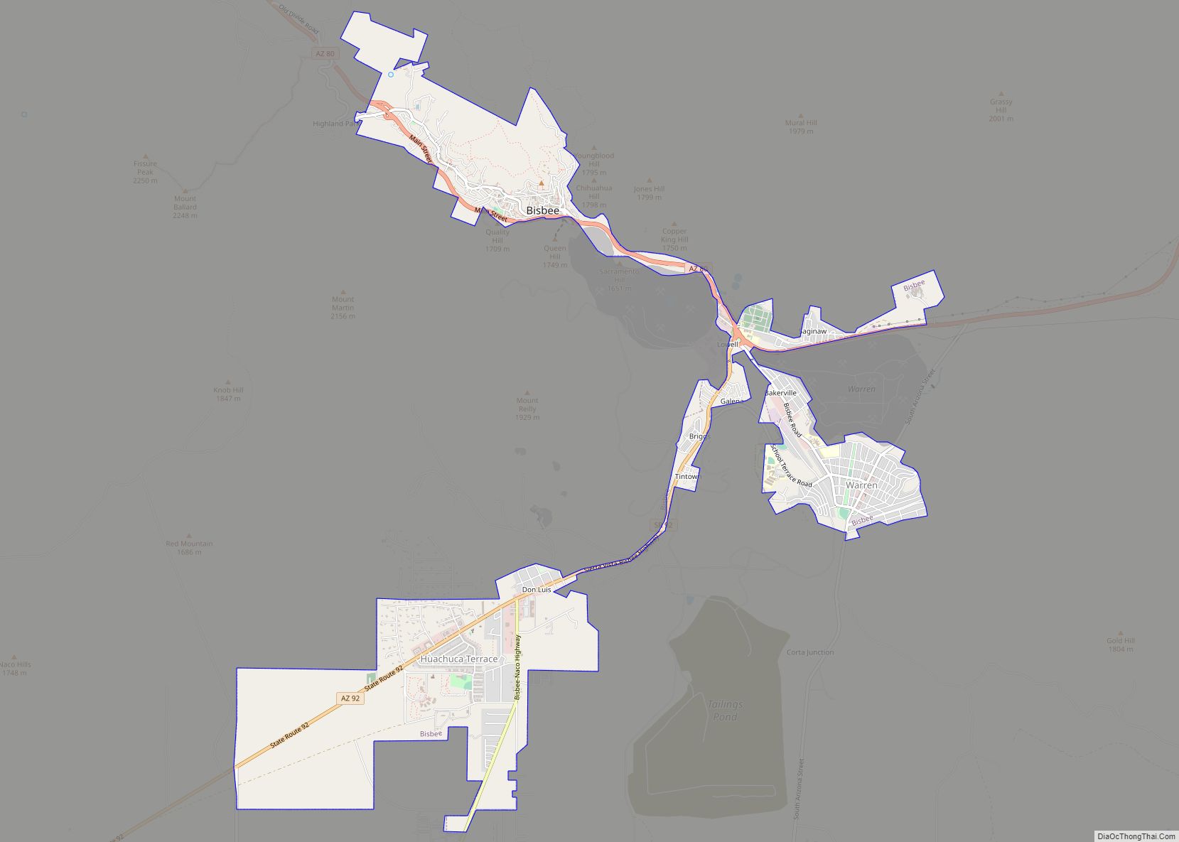
Bisbee is a city in and the county seat of Cochise County in southeastern Arizona, United States. It is 92 miles (148 km) southeast of Tucson and 11 miles (18 km) north of the Mexican border. According to the 2020 census, the population of the town was 4,923, down from 5,575 in the 2010 census. Bisbee city ... Read more
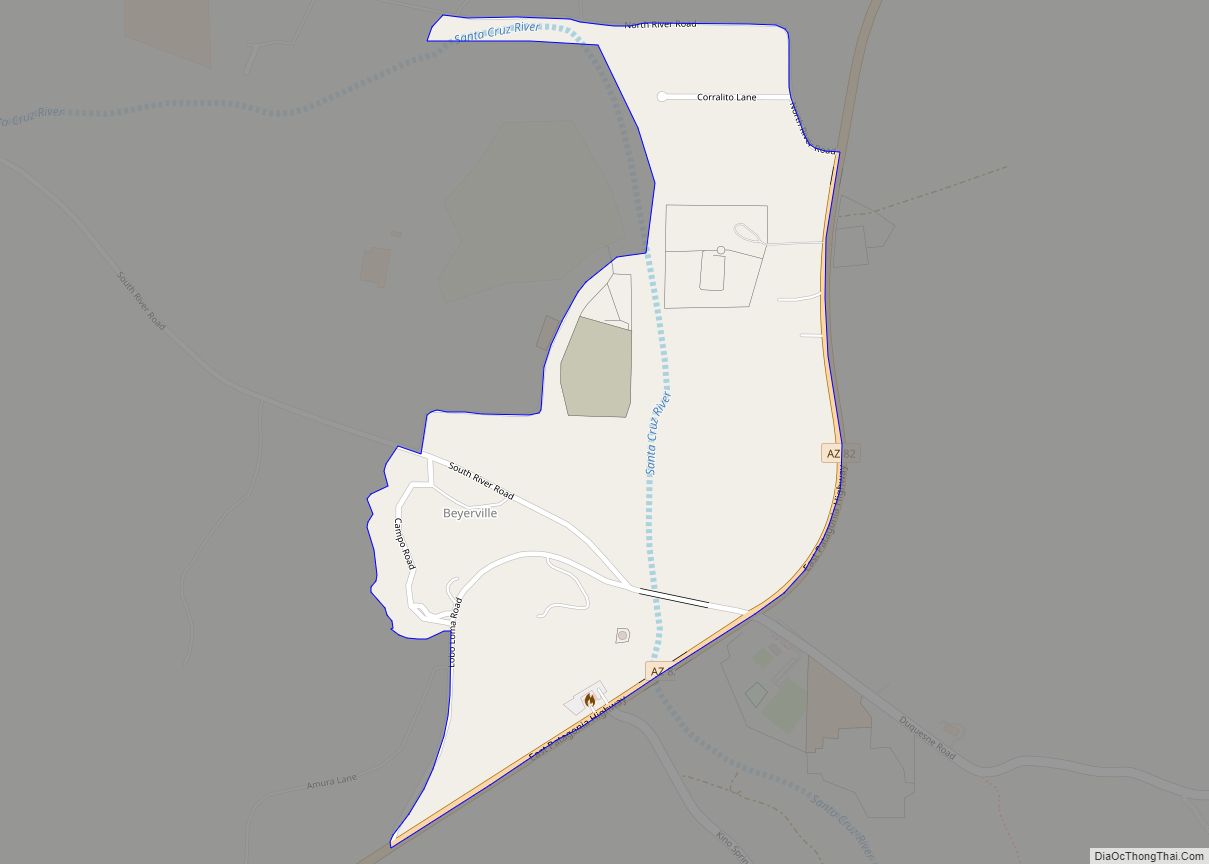
Beyerville is a census-designated place (CDP) in Santa Cruz County, Arizona, United States. The population was 177 at the 2010 census. Beyerville CDP overview: Name: Beyerville CDP LSAD Code: 57 LSAD Description: CDP (suffix) State: Arizona County: Santa Cruz County Elevation: 3,642 ft (1,110 m) Total Area: 0.34 sq mi (0.87 km²) Land Area: 0.34 sq mi (0.87 km²) Water Area: 0.00 sq mi (0.00 km²) ... Read more
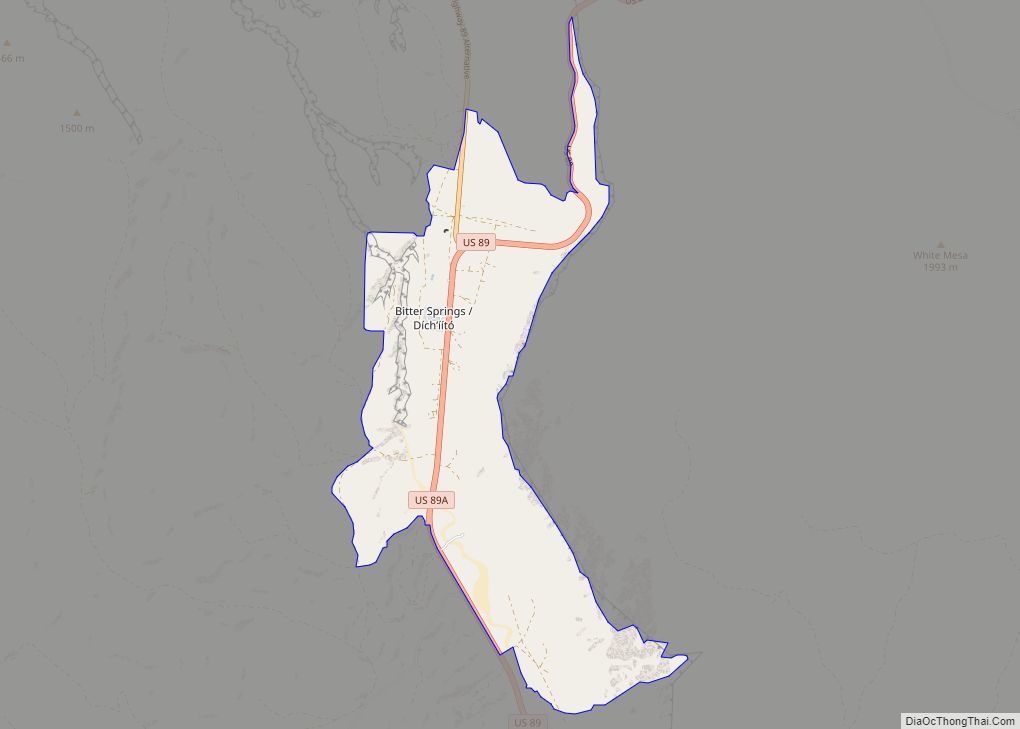
Bitter Springs (Navajo: Díchʼíító) is a native village and census-designated place (CDP) on the Navajo Nation in Coconino County, Arizona, United States. As of the 2020 census, the CDP population was 364 Bitter Springs CDP overview: Name: Bitter Springs CDP LSAD Code: 57 LSAD Description: CDP (suffix) State: Arizona County: Coconino County Elevation: 5,115 ft (1,559 m) ... Read more
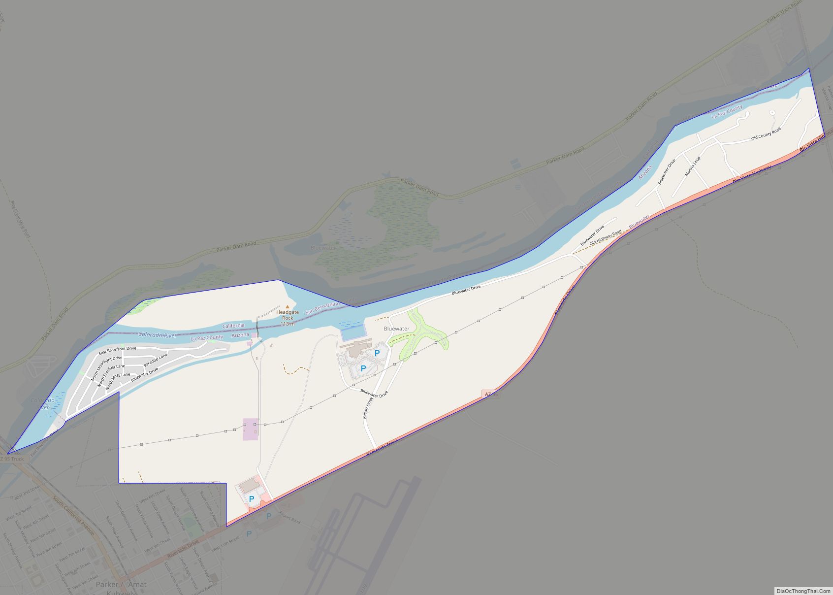
Bluewater is a census-designated place (CDP) on the Colorado River Indian Reservation in La Paz County, Arizona, United States. The population was 725 at the 2010 census. Bluewater CDP overview: Name: Bluewater CDP LSAD Code: 57 LSAD Description: CDP (suffix) State: Arizona County: La Paz County Elevation: 404 ft (123 m) Total Area: 2.38 sq mi (6.18 km²) Land Area: ... Read more
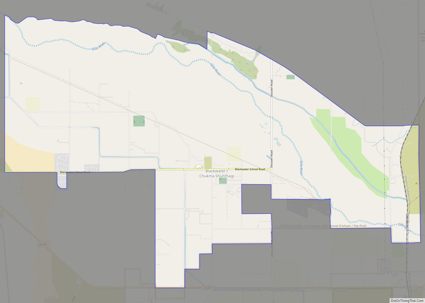
Blackwater is a native village and census-designated place (CDP) on the Gila River Reservation in Pinal County, Arizona, United States. The population was 1,062 at the 2010 census, up from 504 in 2000. Blackwater CDP overview: Name: Blackwater CDP LSAD Code: 57 LSAD Description: CDP (suffix) State: Arizona County: Pinal County Elevation: 1,381 ft (421 m) Total ... Read more

