Bisbee is a city in and the county seat of Cochise County in southeastern Arizona, United States. It is 92 miles (148 km) southeast of Tucson and 11 miles (18 km) north of the Mexican border. According to the 2020 census, the population of the town was 4,923, down from 5,575 in the 2010 census.
| Name: | Bisbee city |
|---|---|
| LSAD Code: | 25 |
| LSAD Description: | city (suffix) |
| State: | Arizona |
| County: | Cochise County |
| Incorporated: | January 9, 1902 |
| Elevation: | 5,538 ft (1,688 m) |
| Total Area: | 5.18 sq mi (13.41 km²) |
| Land Area: | 5.18 sq mi (13.41 km²) |
| Water Area: | 0.00 sq mi (0.00 km²) |
| Total Population: | 4,923 |
| Population Density: | 950.39/sq mi (367.11/km²) |
| ZIP code: | 85603 |
| Area code: | 520 |
| FIPS code: | 0406260 |
| GNISfeature ID: | 1436 |
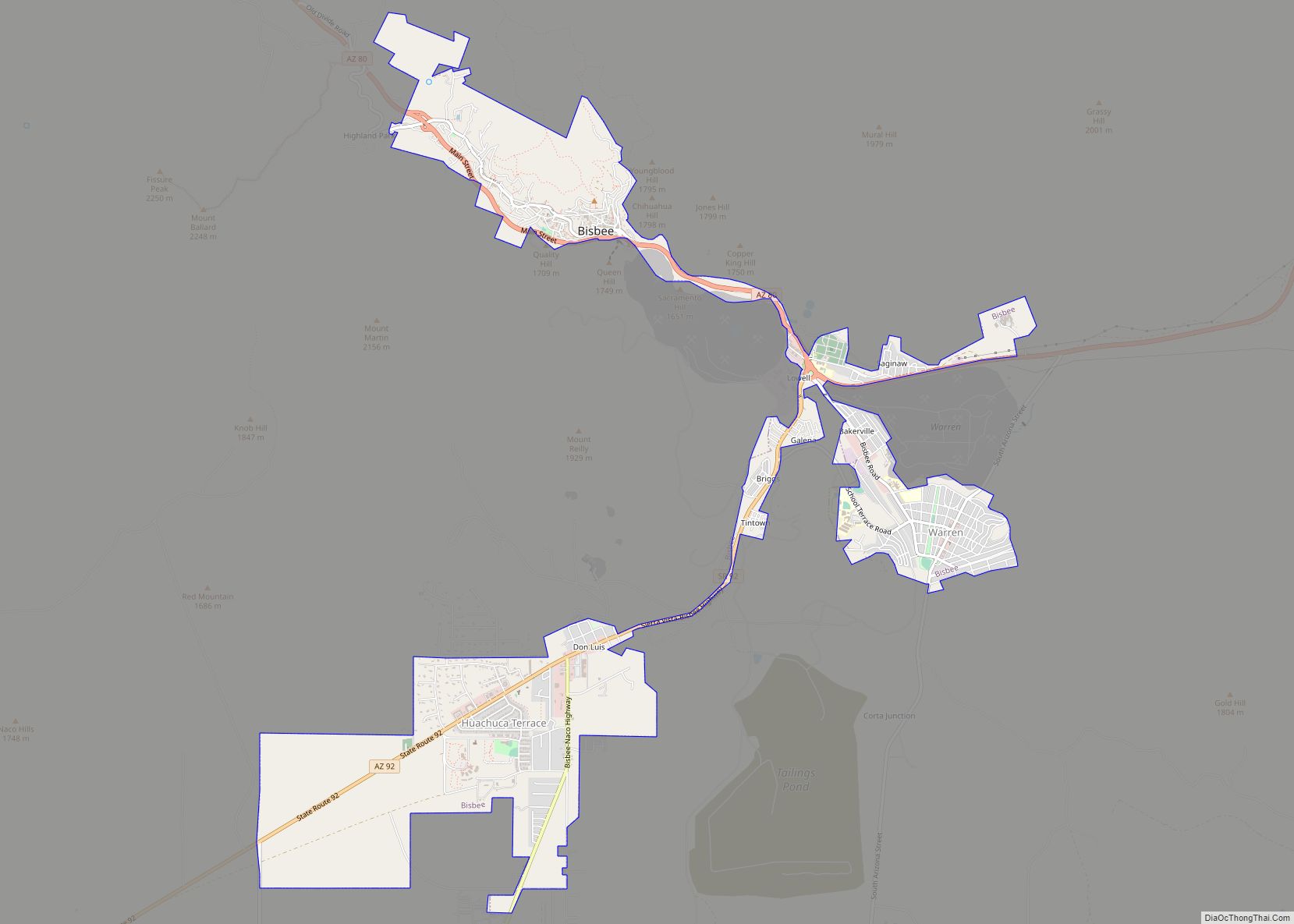
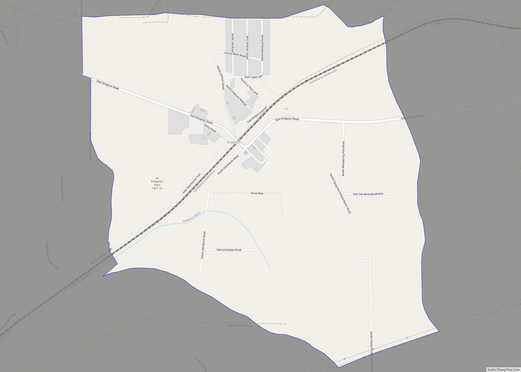
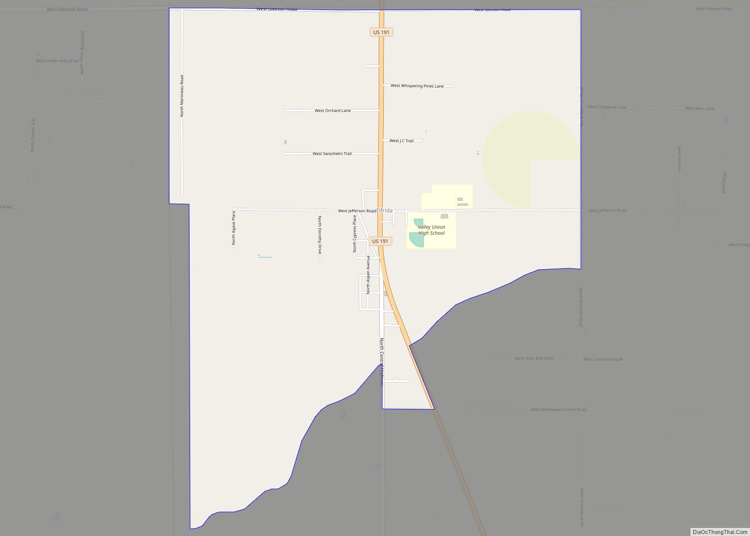
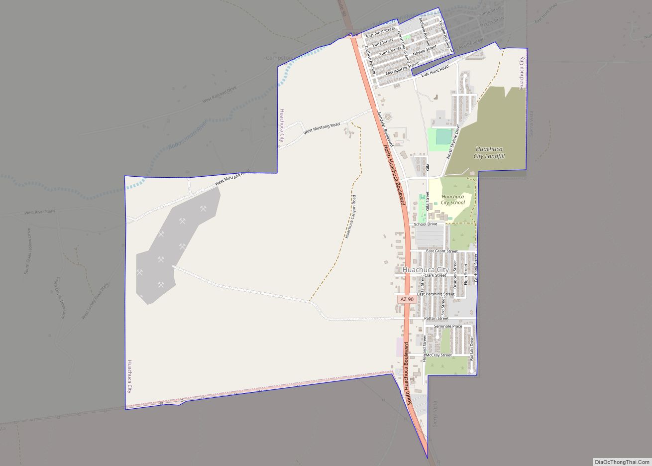
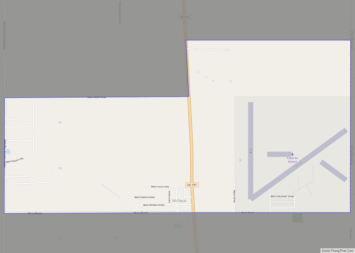
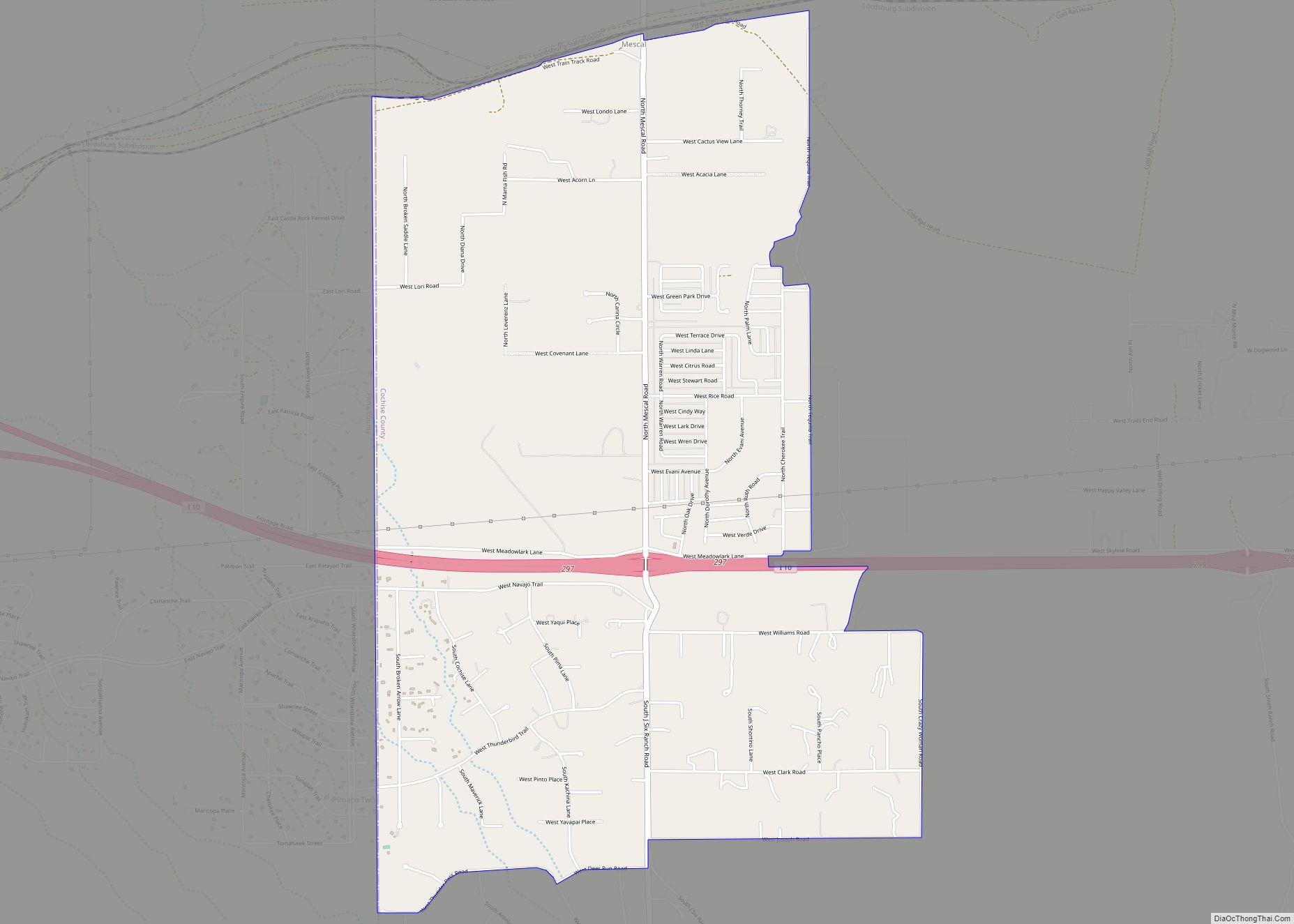
Online Interactive Map
Click on ![]() to view map in "full screen" mode.
to view map in "full screen" mode.
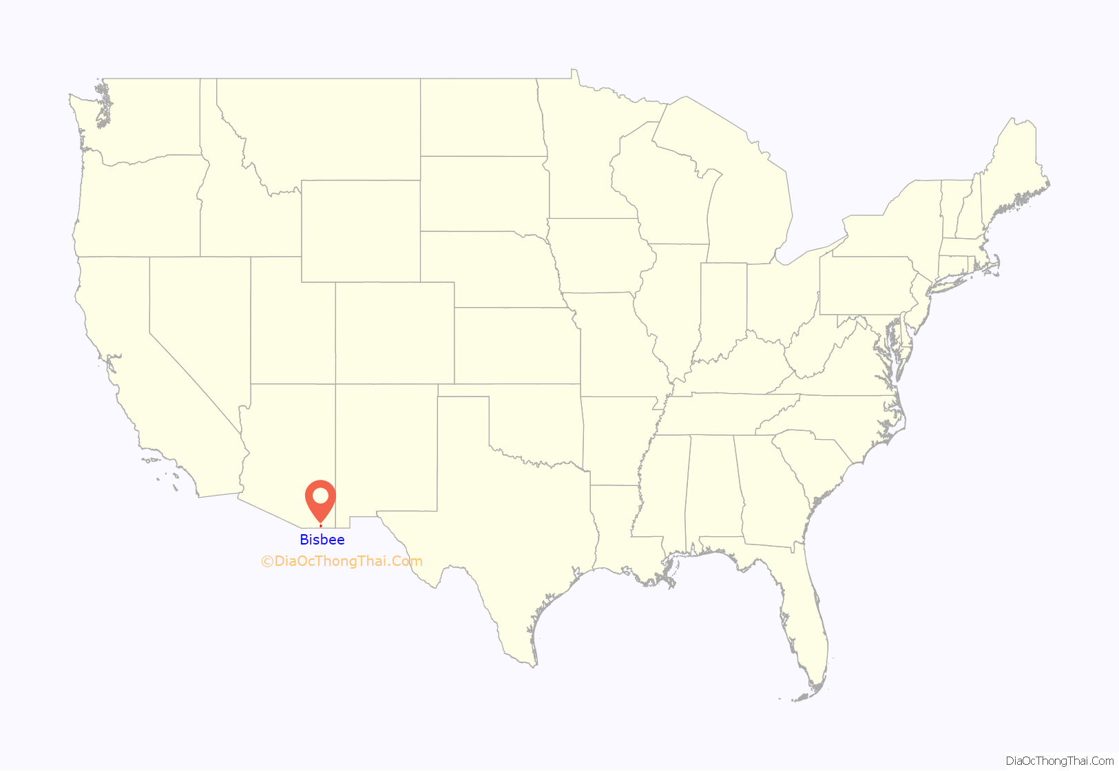
Bisbee location map. Where is Bisbee city?

History
Bisbee was founded as a copper, gold, and silver mining town in 1880, and named in honor of Judge DeWitt Bisbee, one of the financial backers of the adjacent Copper Queen Mine.
The town was the site of the Bisbee Riot in 1919.
In 1929, the county seat was moved from Tombstone to Bisbee, where it remains.
Mining industry
Mining in the Mule Mountains proved quite successful: in the early 20th century the population of Bisbee soared. Incorporated in 1902, by 1910 its population had swelled to 9,019, and it sported a constellation of suburbs, including Warren, Lowell, and San Jose, some of which had been founded on their own (ultimately less successful) mines. In 1917, open-pit mining was successfully introduced to meet the copper demand during World War I.
A high quality turquoise promoted as Bisbee Blue was a by-product of the copper mining. Many high-quality mineral specimens have come from Bisbee area mines and are to be found in museum collections worldwide. Some of these minerals include cuprite, aragonite, wulfenite, malachite, azurite, and galena.
Bisbee deportation
Miners attempted to organize to gain better working conditions and wages. In 1917, the Phelps Dodge Corporation, using private police and deputized sheriffs in conjunction with Cochise County Sheriff Harry C. Wheeler, transported at gunpoint over 1,000 striking miners out of town to Hermanas, New Mexico, due to allegations that they were members of the Industrial Workers of the World (IWW); the company wanted to prevent unionization. Earlier that year, industry police conducted the Jerome Deportation, similarly intended to expel striking miners.
Mining decline and tourism
Continued underground work enabled the town to survive the changes in mining that caused mines in neighboring towns to close, leading to a resulting dramatic loss of population. But the population of Bisbee had dropped nearly 60%, from a high of 9,205 in 1920 down to 3,801 by 1950. In 1975 the Phelps Dodge Corporation halted its Bisbee copper-mining operations. Bisbee Mayor Chuck Eads, with the cooperation of Phelps Dodge, implemented development of a mine tour and historic interpretation of a portion of the Copper Queen Mine as part of an effort to create heritage tourism as another economic base to compensate for the financial loss due to the end of the mining industry.
Community volunteers cleared tons of fallen rock and re-timbered the old workings. Eventually, this local effort came to the attention of the federal Economic Development Administration. It approved a large grant to the City of Bisbee to help the mine tour project and other improvements in downtown Bisbee; these were designed to meet tourist business needs. The Queen Mine Tour was officially opened to visitors on February 1, 1976. More than a million visitors have taken the underground mine tour train.
Modern Bisbee
From 1950 to 1960, the sharp population decline happening over the previous few decades changed course and the number of residents of Bisbee increased by nearly 160 percent when open-pit mining was undertaken and the city annexed nearby areas. The peak population was in 1960, at 9,914.
In the following decade, there was a decline in jobs and population, although not as severe as from 1930 to 1950. But, the economic volatility resulted in a crash in housing prices. Coupled with an attractive climate and picturesque scenery, Bisbee became a destination in the 1960s for artists and hippies of the counter culture.
Artist Stephen Hutchison and his wife Marcia purchased the Copper Queen Hotel, the town’s anchor business and architectural gem, from the Phelps-Dodge mining company in 1970. The company had tried to find a local buyer, offering the deed to any local resident for the sum of $1, but there were no takers. The property needed renovation for continued use.
Hutchison purchased and renovated the hotel, as well as other buildings in the downtown area. One held the early 20th-century Brewery and Stock Exchange. Hutchison began to market Bisbee as a destination of the “authentic,” old Southwest. His work attracted the developer Ed Smart.
Among the many guests at the hotel have been celebrities from nearby California. Actor John Wayne was a frequent visitor to Bisbee and the Copper Queen. He befriended Hutchison and eventually partnered with Smart in his real estate ventures. This period of Bisbee’s history is well documented in contemporary articles in The New Yorker and in an article by Cynthia Buchanan in The Cornell Review. It was at this time that Bisbee became a haven for artists and hippies fleeing the larger cities of Arizona and California. Later it attracted people priced out by gentrification of places such as Aspen, Colorado.
In the 1990s, additional people were attracted to Bisbee, leading it to develop such amenities as coffee shops and live theatre. Many of the old houses have been renovated, and property values in Bisbee now greatly exceed those of other southeastern Arizona cities.
Today, the historic city of Bisbee is known as “Old Bisbee” and is home to a thriving downtown cultural scene. This area is noted for its architecture, including Victorian-style houses and an elegant Art Deco county courthouse. Because its plan was laid out to a pedestrian scale before the automobile, Old Bisbee is compact and walkable. The town’s hilly terrain is exemplified by the old four-story high school; each floor has a ground-level entrance.
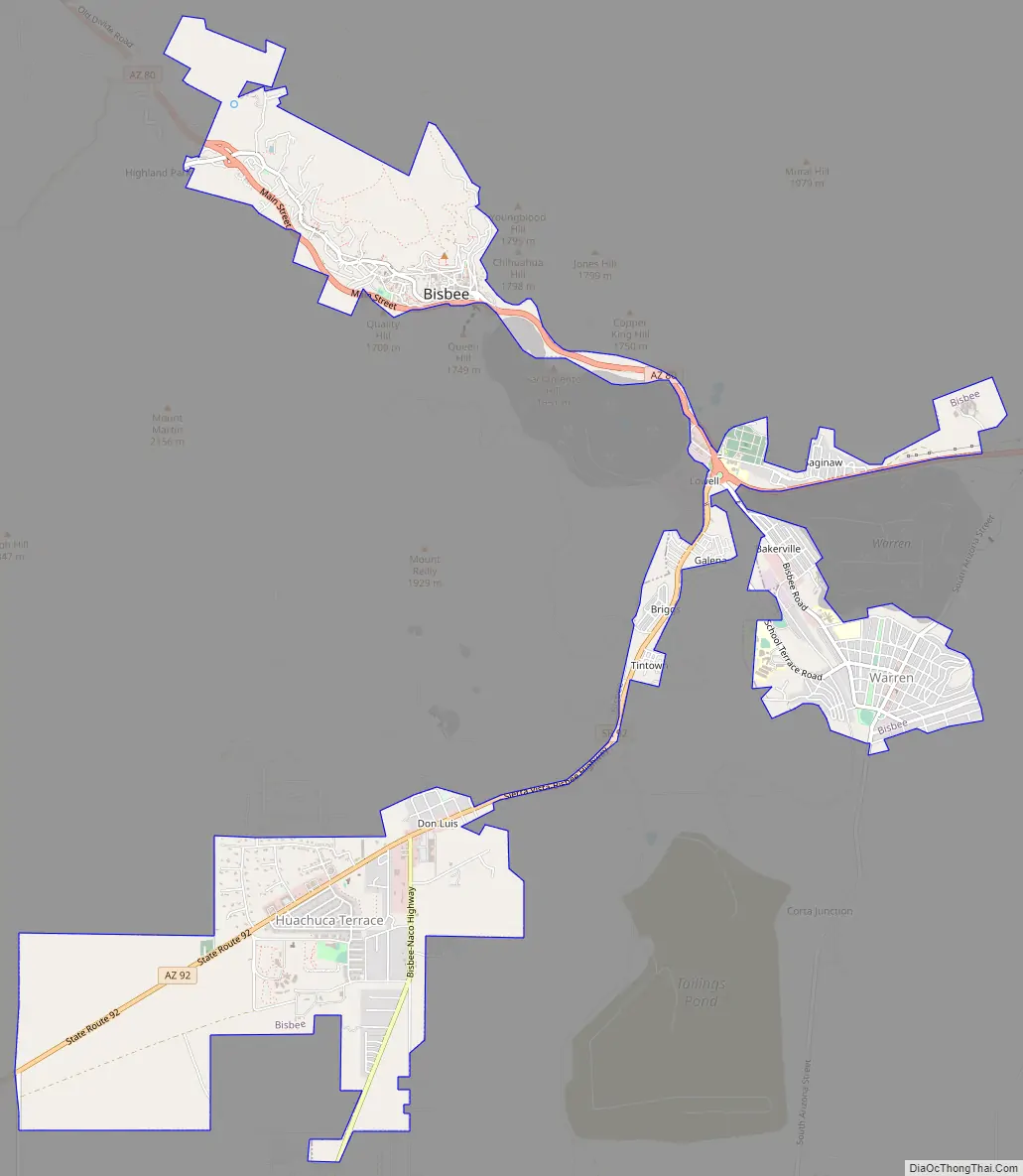
The city of Bisbee now includes the satellite communities of Warren, Lowell, and San Jose. The Lowell and Warren townsites were consolidated into Bisbee proper during the early part of the twentieth century. There are also smaller neighborhoods interspersed between these larger boroughs, including Galena, Bakerville, Tintown, South Bisbee, Briggs, and Saginaw.
Warren was Arizona’s first planned community. It was designed as a bedroom community for the more affluent citizens of the mining district. Warren has a fine collection of Arts and Crafts style bungalow houses. Many have been recognized as historic places, and the city has an annual home tour during which a varying selection are offered for tours. Since the end of mining in the 1970s, Warren has seen a steady decline in its standard of living. The residential district still houses a significant portion of the population, and includes City Hall, Greenway Elementary School, Bisbee High School, and the historic Warren Ballpark.
Lowell was at one time a sizable mining town located just to the southeast of Old Bisbee. The majority of the original townsite was consumed by the excavation of the Lavender Pit mine during the 1950s. All that is left today is a small portion of Erie Street, along with Evergreen Cemetery, Saginaw subdivision and Lowell Middle School. These days Lowell is considered by most of the local residents to be more of a place name than an operating community.
San Jose, on the southern side of the Mule Mountains, is the most modern of the city’s subdivisions. As it is not restricted by mountains, it has had the most new growth since the late 1990s. Named after a nearby Mexican mountain peak, it is the location of many newer county government buildings, the Huachuca Terrace Elementary School, and a large shopping center.
In 2007, Freeport-McMoRan Copper & Gold bought Phelps-Dodge company. Freeport has invested in Bisbee by remediating soil contaminated in previous mining operations, donations to the school system, and other civic activities.
Bisbee Road Map
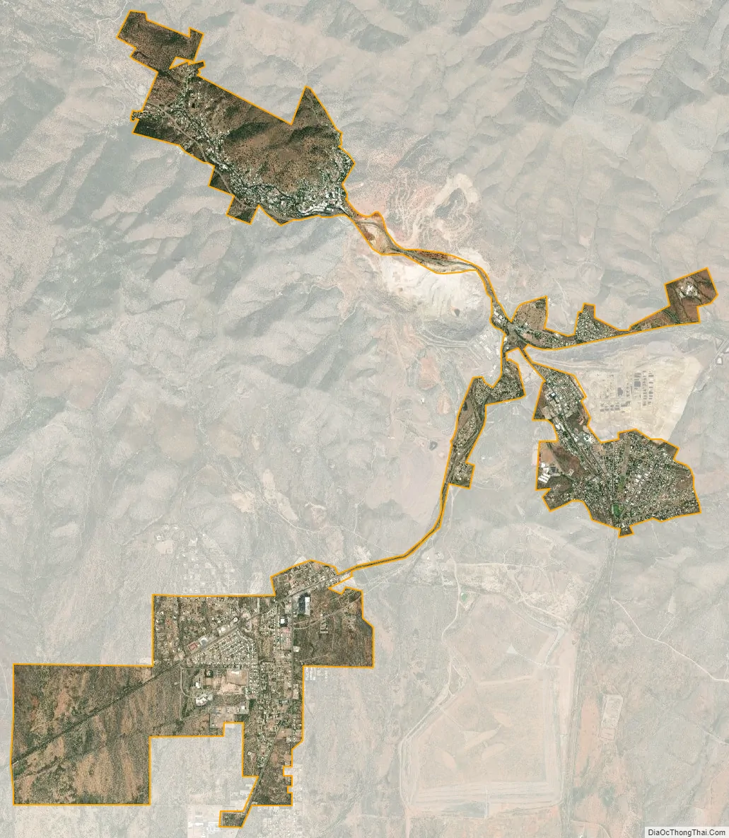
Bisbee city Satellite Map
Geography
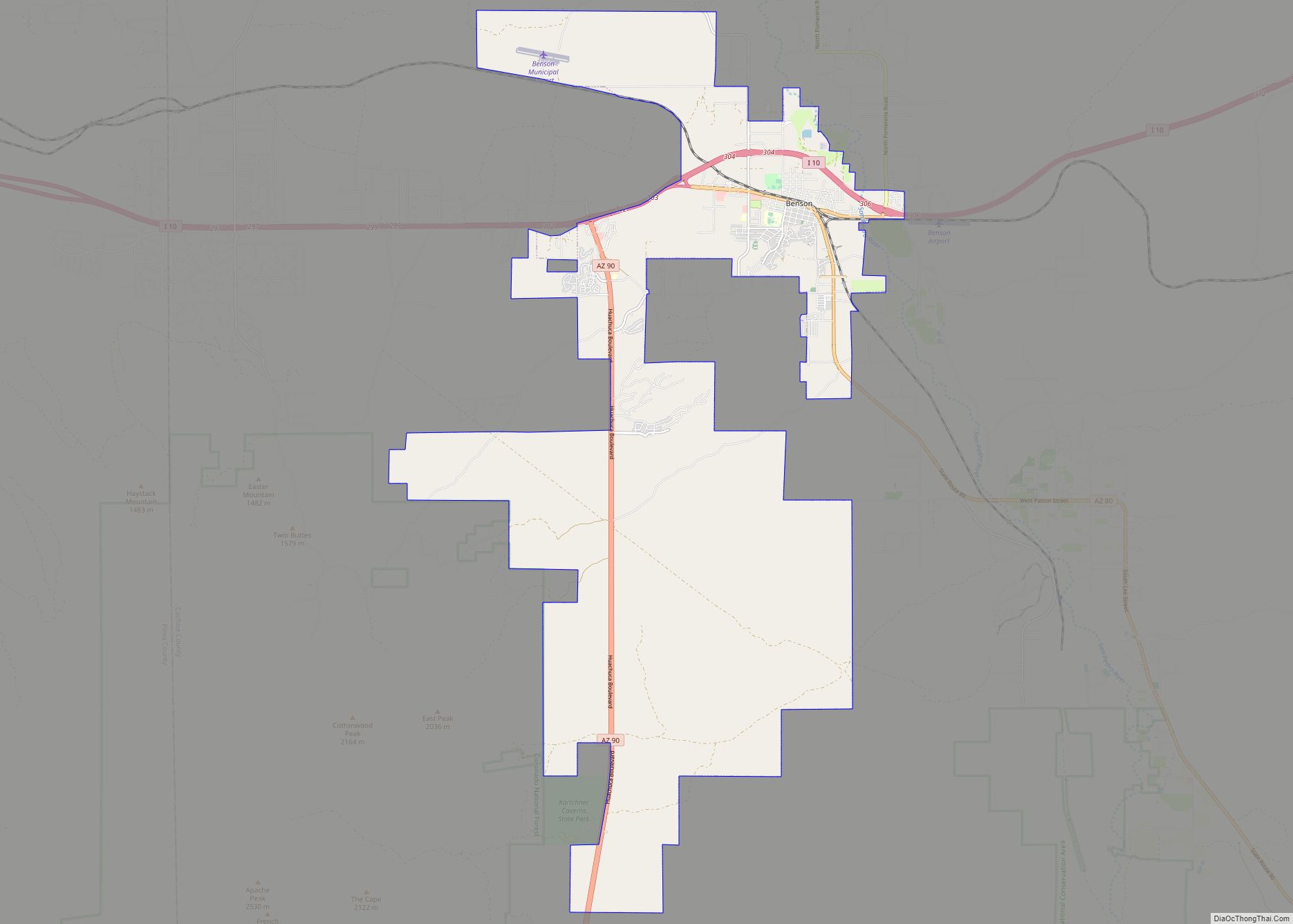
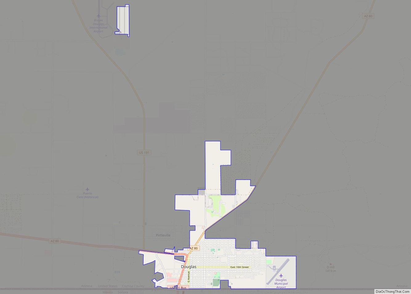
Arizona State Route 80 runs through the city, leading northwest 23 miles (37 km) to Tombstone and 47 miles (76 km) to Benson, and east 26 miles (42 km) to Douglas. The Mexican border at Naco is 11 miles (18 km) south of the center of Bisbee.
According to the United States Census Bureau, the city has a total area of 5.2 square miles (13.4 km), all land.
Natural vegetation around Bisbee has a semi-desert appearance with shrubby acacia, oak and the like, along with cacti, grass, ocotillo and yucca. The town itself is much more luxuriant with large trees such as native cypress, sycamore and cottonwood plus the introduced ailanthus and Old World cypresses, cedars and pines. Palms are capable of growing tall, but are not reliably hardy. At least one mature blue spruce may be seen.
Climate
Bisbee is a typical semi-arid climate (Köppen BSk) of the upland Mountain West. Summer days are warm to hot and dry before the monsoon brings the wettest season from July to September with 10.65 inches (270.5 mm) of Bisbee’s total annual rainfall of 18.63 inches (473.2 mm), often with severe thunderstorms. During the winter, frontal cloudbands may bring occasional rainfall or even snowfall, though average maxima in the winter are typically very mild and sometimes even warm.
See also
Map of Arizona State and its subdivision: Map of other states:- Alabama
- Alaska
- Arizona
- Arkansas
- California
- Colorado
- Connecticut
- Delaware
- District of Columbia
- Florida
- Georgia
- Hawaii
- Idaho
- Illinois
- Indiana
- Iowa
- Kansas
- Kentucky
- Louisiana
- Maine
- Maryland
- Massachusetts
- Michigan
- Minnesota
- Mississippi
- Missouri
- Montana
- Nebraska
- Nevada
- New Hampshire
- New Jersey
- New Mexico
- New York
- North Carolina
- North Dakota
- Ohio
- Oklahoma
- Oregon
- Pennsylvania
- Rhode Island
- South Carolina
- South Dakota
- Tennessee
- Texas
- Utah
- Vermont
- Virginia
- Washington
- West Virginia
- Wisconsin
- Wyoming