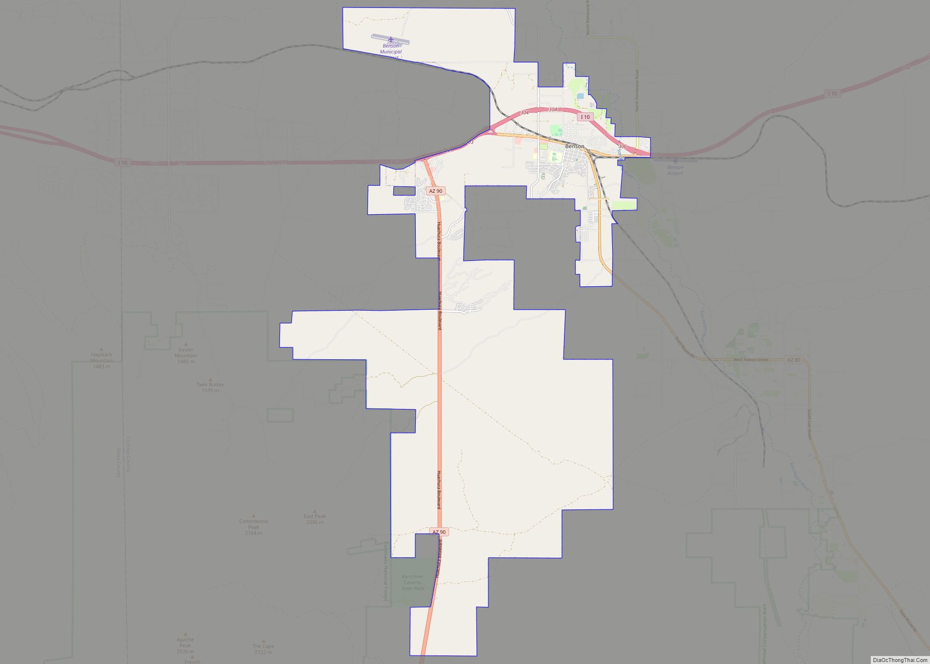
Benson is a city in Cochise County, Arizona, United States, 45 miles (72 km) east-southeast of Tucson. It was founded as a rail terminal for the area, and still serves as such. As of the 2010 census, the population of the city was 5,105.
| Name: | Benson city |
|---|---|
| LSAD Code: | 25 |
| LSAD Description: | city (suffix) |
| State: | Arizona |
| County: | Cochise County |
| Founded: | 1880 |
| Elevation: | 3,586 ft (1,093 m) |
| Total Area: | 41.69 sq mi (107.97 km²) |
| Land Area: | 41.64 sq mi (107.84 km²) |
| Water Area: | 0.05 sq mi (0.13 km²) |
| Total Population: | 5,355 |
| Population Density: | 128.61/sq mi (49.66/km²) |
| ZIP code: | 85602 |
| Area code: | 520 |
| FIPS code: | 0405770 |
| GNISfeature ID: | 1248 |
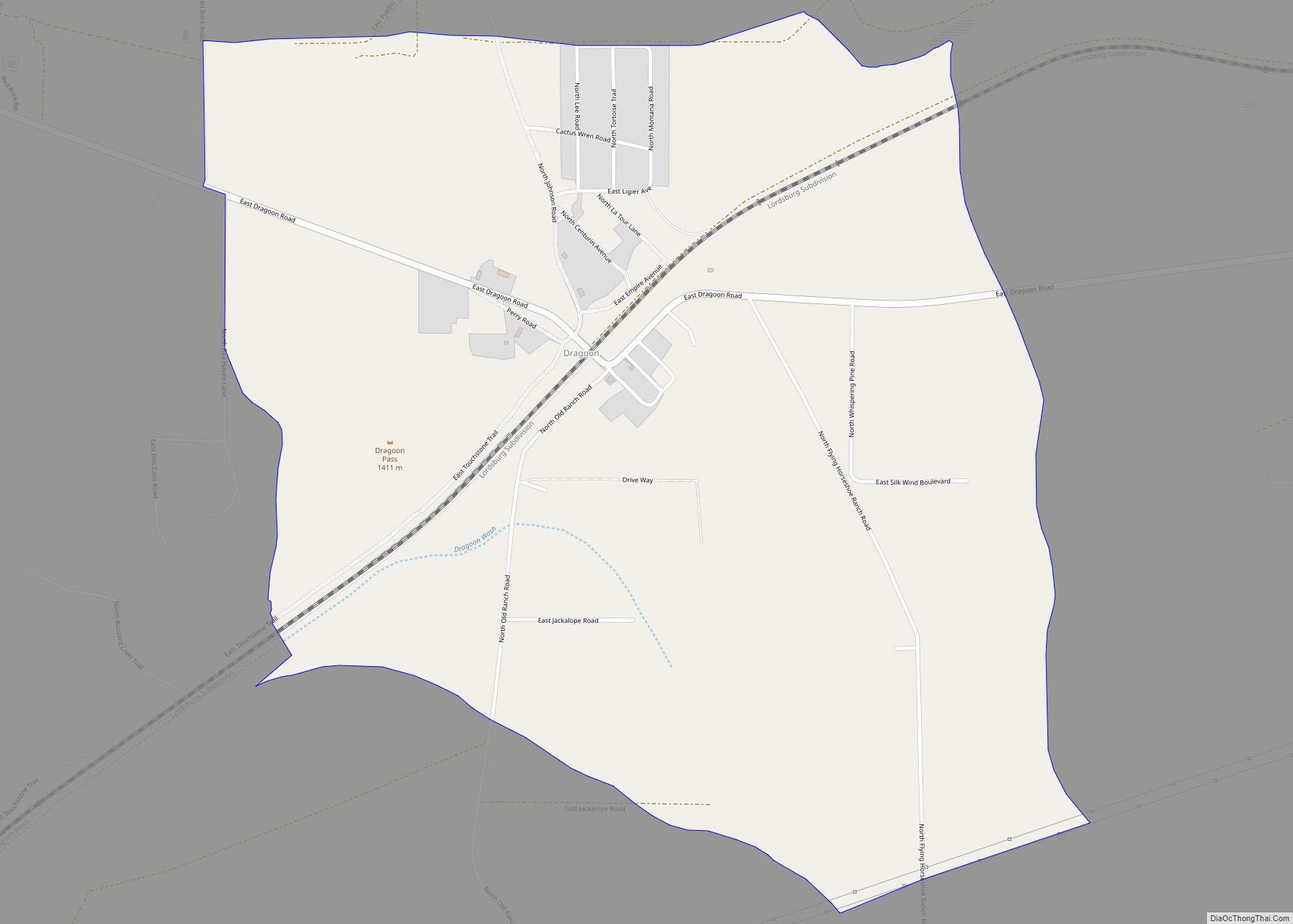
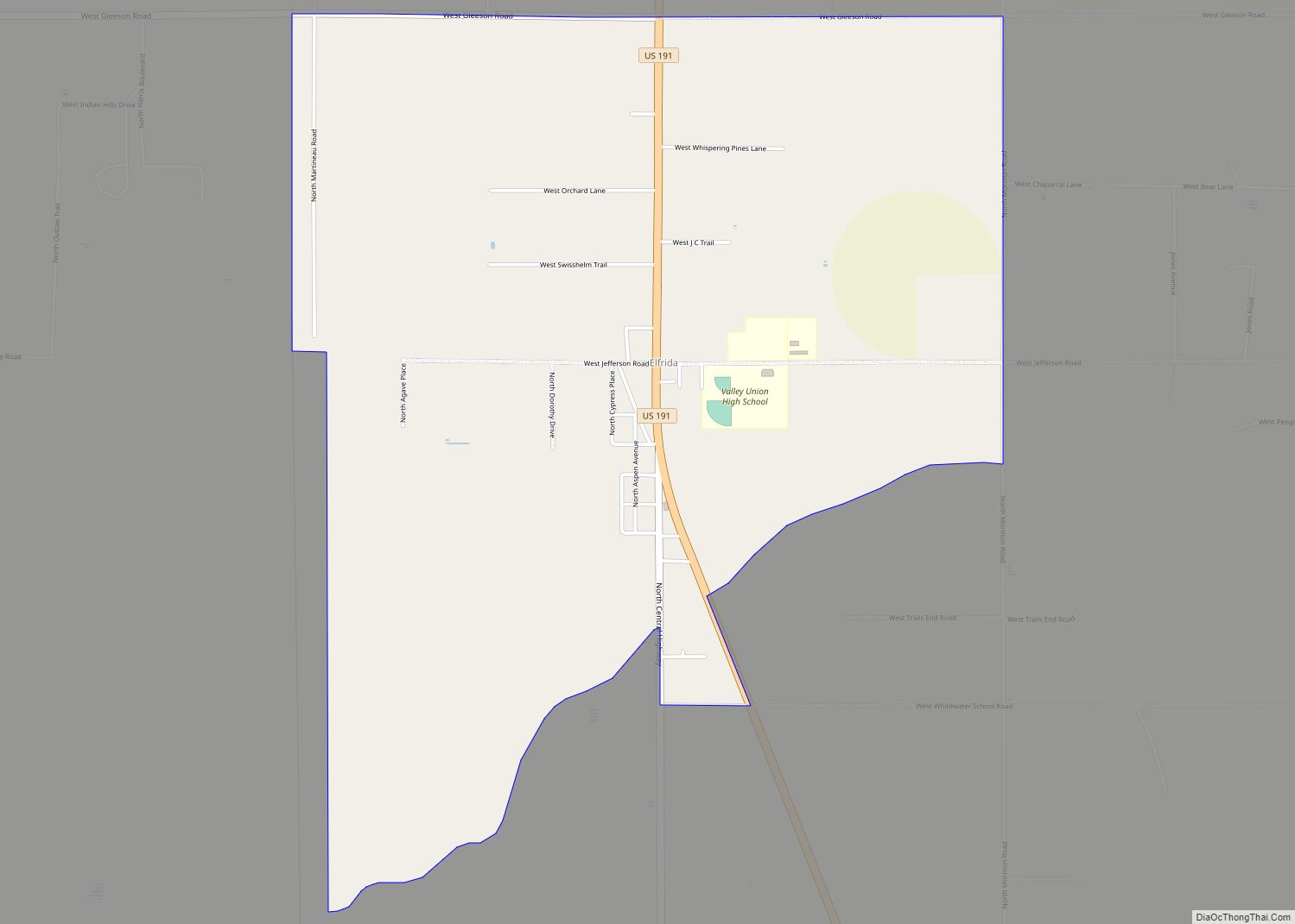
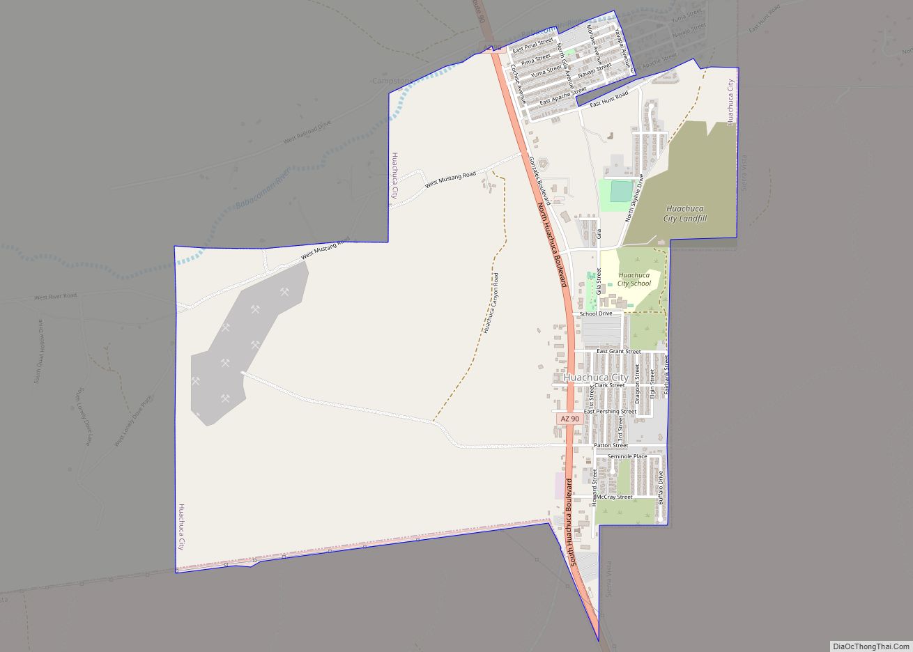
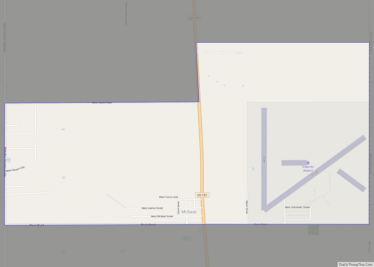
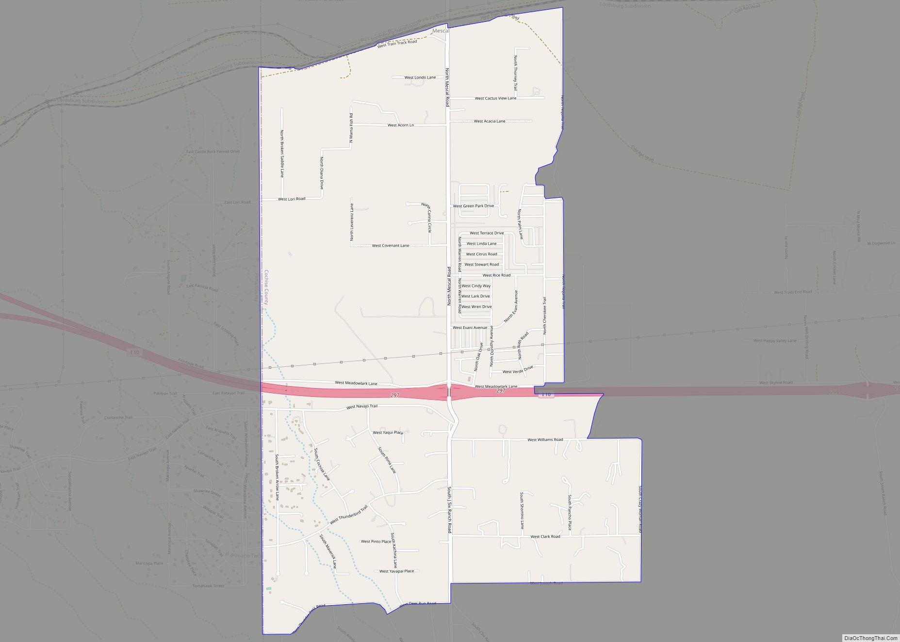
Online Interactive Map
Click on ![]() to view map in "full screen" mode.
to view map in "full screen" mode.
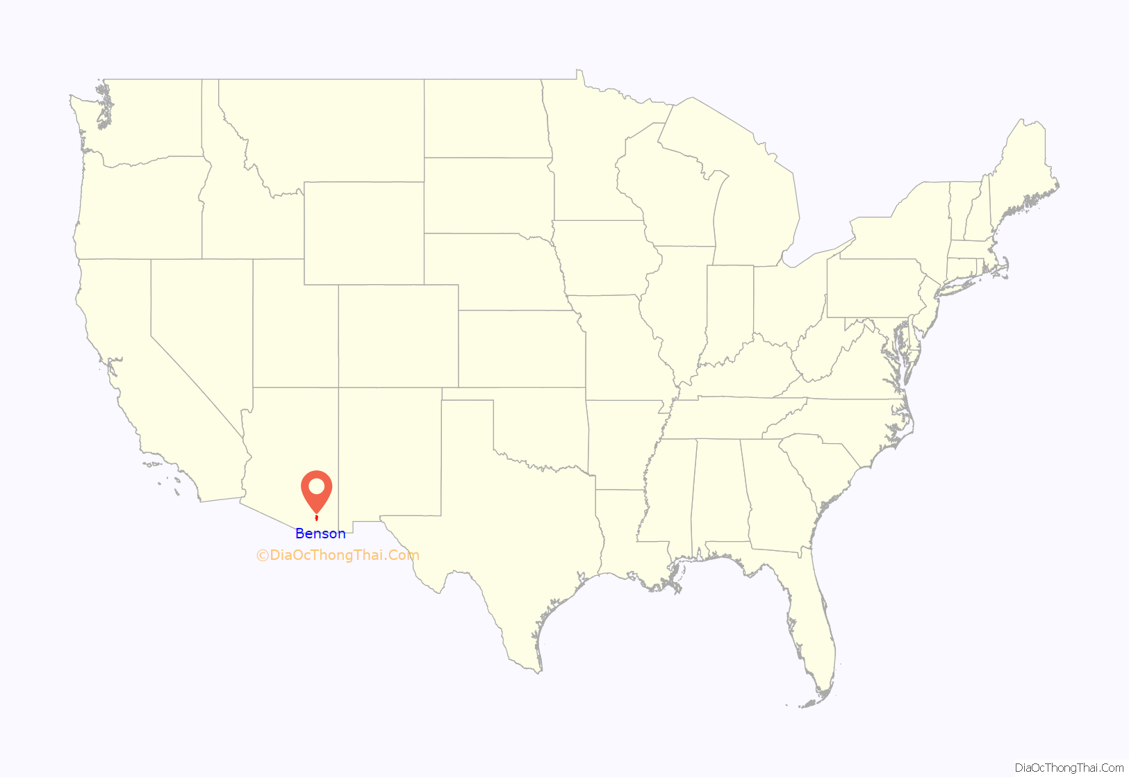
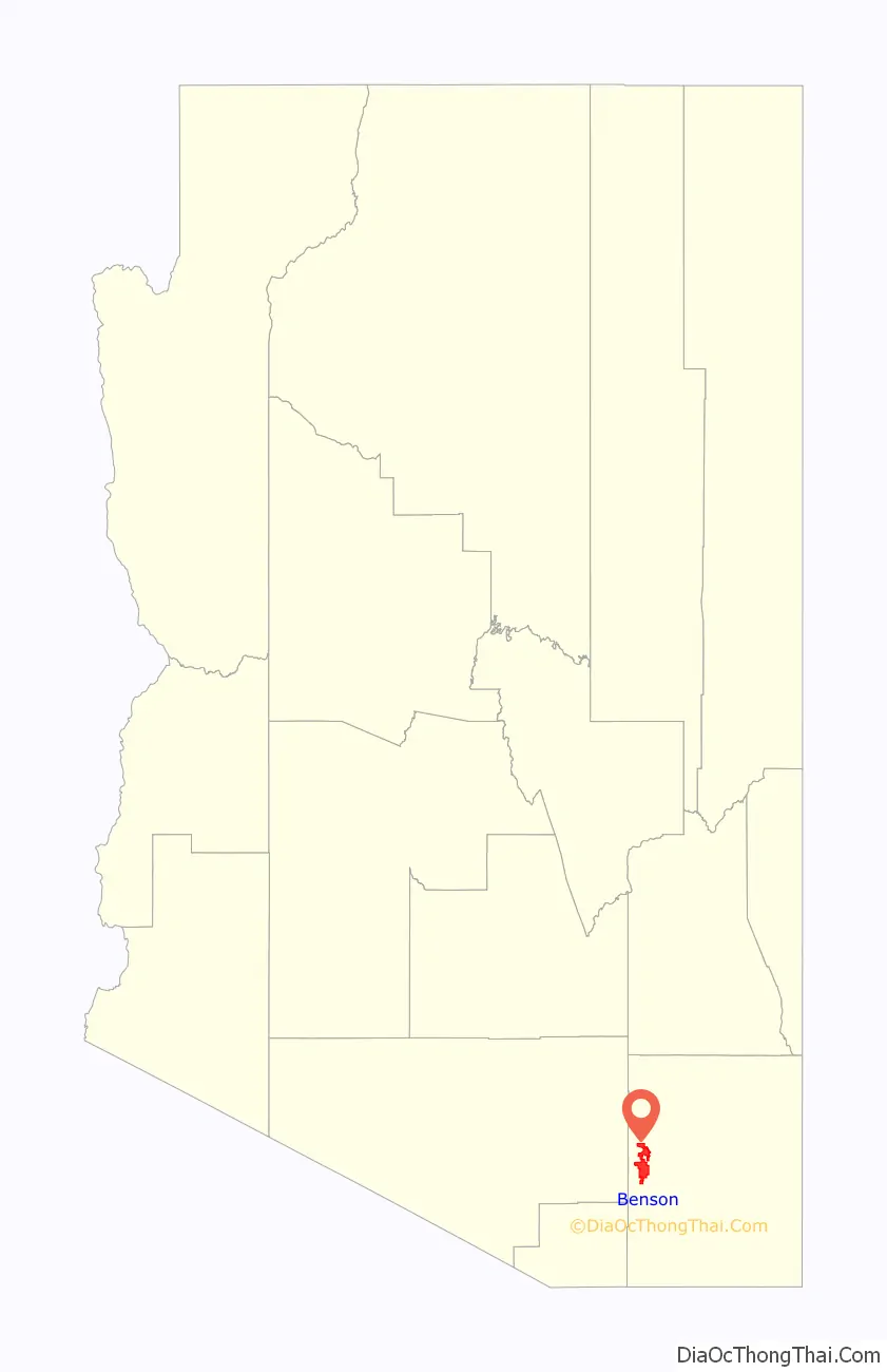
Benson location map. Where is Benson city?
History
The city was founded in 1880 when the Southern Pacific Railroad came through. It was named after Judge William S. Benson, a friend of Charles Crocker, president of the Southern Pacific. The railroad, coming overland from California, chose the Benson site to cross the San Pedro River. Benson then served as a rail junction point to obtain ore and refined metal by wagon, in turn shipping rail freight back to the mines at Tombstone, Fairbank, Contention City and Bisbee. For example, the railhead in Benson was about 25 miles (40 km) from Tombstone, and was the closest rail connection to it until 1882, when a feeder line was laid from Benson to Contention City.
The railhead in Benson was founded about a mile from a traditional crossing of the upper San Pedro River (known also as the Middle Crossing), used by the Southern Emigrant Trail and San Antonio-San Diego Mail Line. It was the site of the San Pedro Station of the Butterfield Overland Mail and a wagon depot, the San Pedro River Station, run since 1871 by William Ohnesorgen. In 1878 he had erected a toll bridge over which mining supplies were transported to the new mining camps such as Fairbank and Tombstone. Two years later this bridge marked the location of the railroad bridge that became the terminal site of Benson.
Apache Nitrogen Products (originally Apache Powder Company) was formed in the 1920s. It was located just outside Benson and was a major employer. Apache Park and nine nearby houses on West 6th Street in Benson, built to house company management, were listed on the National Register of Historic Places in 1994 as the Apache Powder Historic Residential District.
The city today is perhaps best known as the gateway to Kartchner Caverns State Park. It is also home to the acclaimed Singing Wind Bookshop, which specializes in books about the Southwest.
Benson Road Map
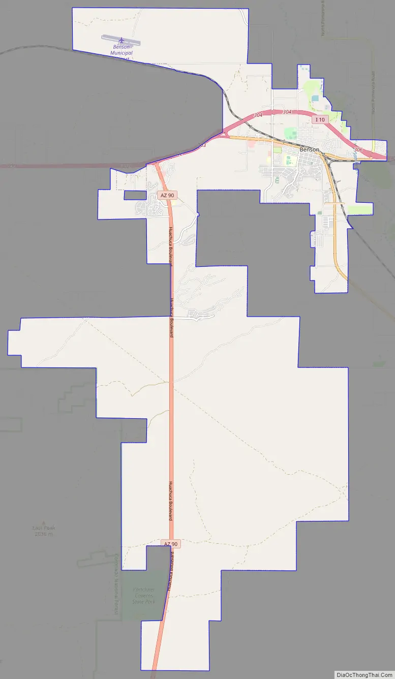
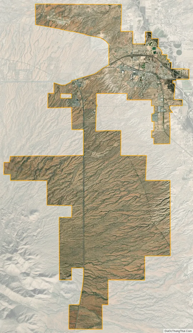
Benson city Satellite Map
Geography
According to the United States Census Bureau, Benson has a total area of 41.5 square miles (107.4 km), of which 0.04 square miles (0.1 km), or 0.12%, is water.
Climate
Similar to other desert plains areas of Arizona, Benson receives little rainfall and is relatively hot. Some snow occasionally falls in the winter. There is a high degree of diurnal temperature variation, especially in transitional months such as October.
See also
Map of Arizona State and its subdivision: Map of other states:- Alabama
- Alaska
- Arizona
- Arkansas
- California
- Colorado
- Connecticut
- Delaware
- District of Columbia
- Florida
- Georgia
- Hawaii
- Idaho
- Illinois
- Indiana
- Iowa
- Kansas
- Kentucky
- Louisiana
- Maine
- Maryland
- Massachusetts
- Michigan
- Minnesota
- Mississippi
- Missouri
- Montana
- Nebraska
- Nevada
- New Hampshire
- New Jersey
- New Mexico
- New York
- North Carolina
- North Dakota
- Ohio
- Oklahoma
- Oregon
- Pennsylvania
- Rhode Island
- South Carolina
- South Dakota
- Tennessee
- Texas
- Utah
- Vermont
- Virginia
- Washington
- West Virginia
- Wisconsin
- Wyoming