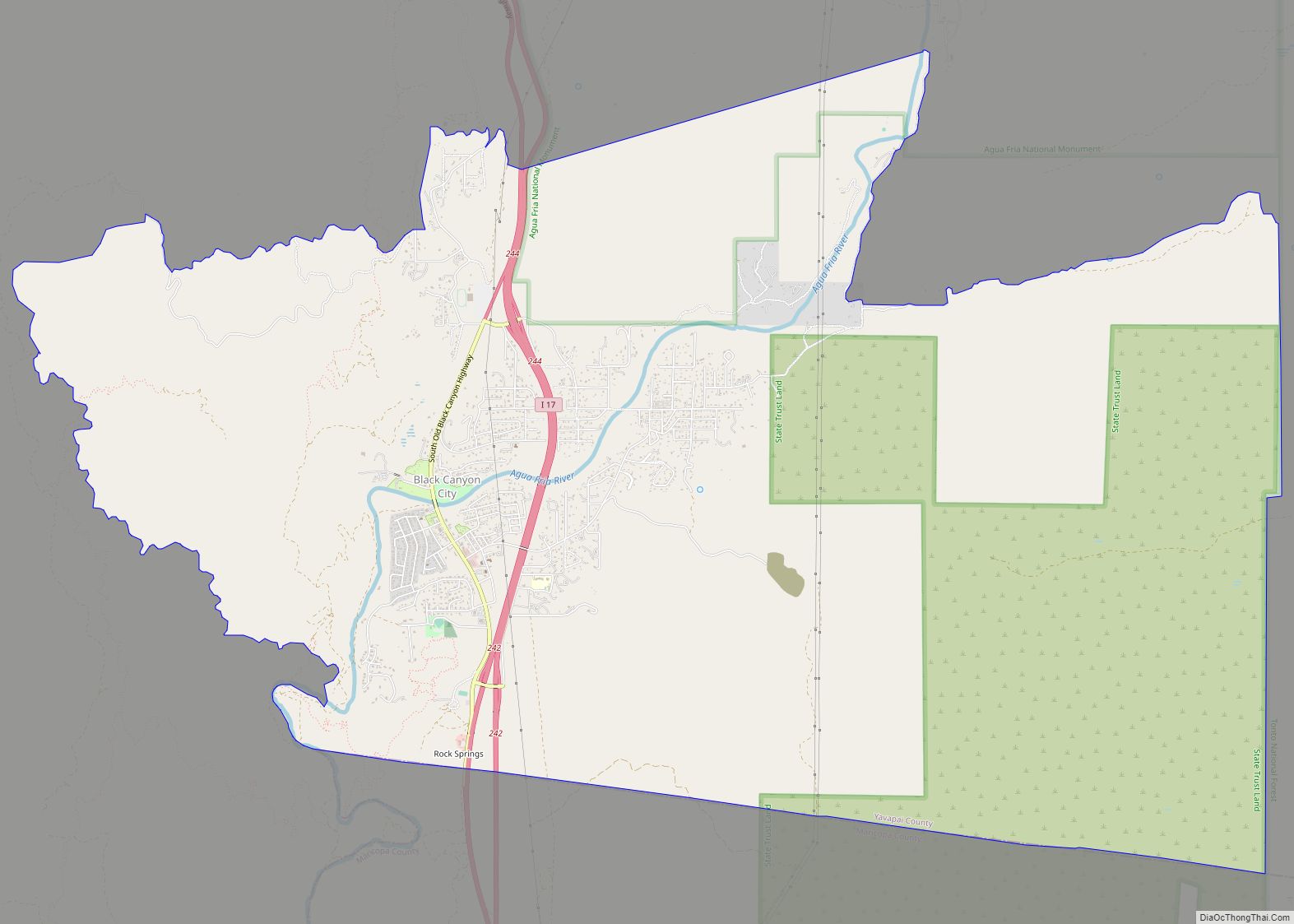
Black Canyon City is an unincorporated community and census-designated place (CDP) in Yavapai County, Arizona, United States. The population was 2,837 at the 2010 census, up from 2,697 in 2000. Black Canyon City CDP overview: Name: Black Canyon City CDP LSAD Code: 57 LSAD Description: CDP (suffix) State: Arizona County: Yavapai County Elevation: 2,000 ft (610 m) ... Read more
Arizona Cities and Places
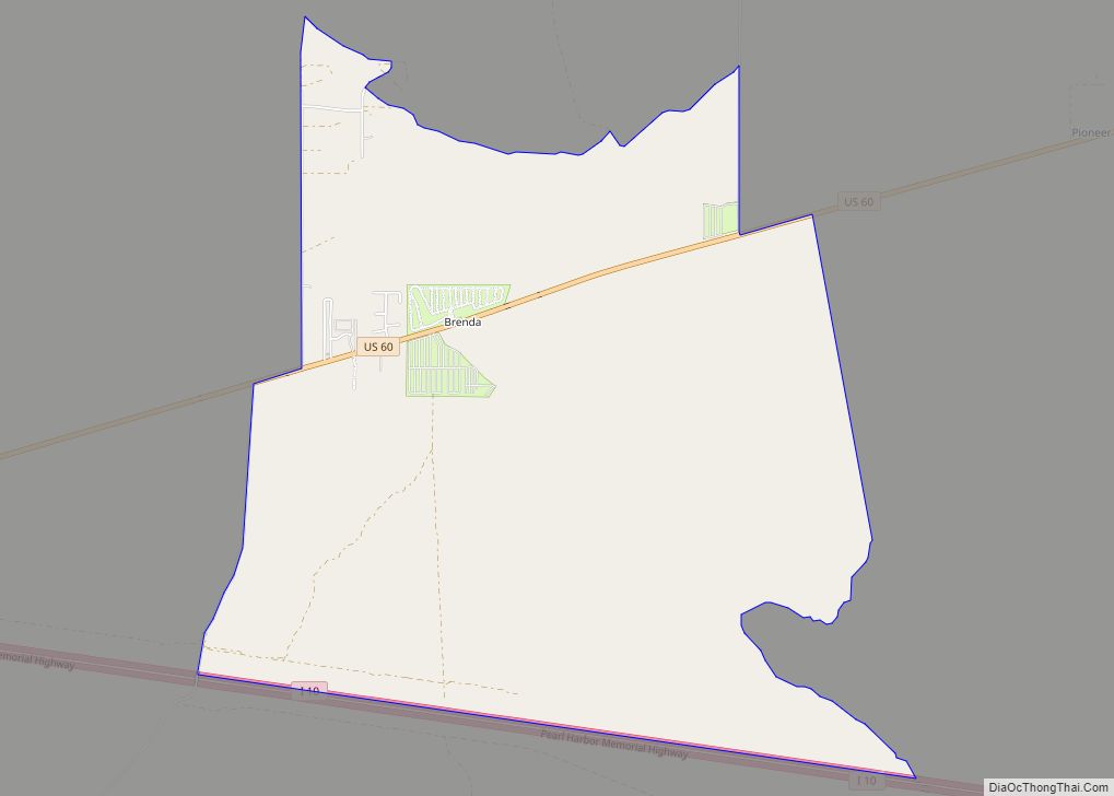
Brenda is a census-designated place (CDP) in La Paz County, Arizona, United States. Brenda CDP overview: Name: Brenda CDP LSAD Code: 57 LSAD Description: CDP (suffix) State: Arizona County: La Paz County Elevation: 1,375 ft (419 m) Total Area: 6.91 sq mi (17.90 km²) Land Area: 6.91 sq mi (17.90 km²) Water Area: 0.00 sq mi (0.00 km²) Total Population: 466 Population Density: 67.44/sq mi (26.04/km²) Area ... Read more
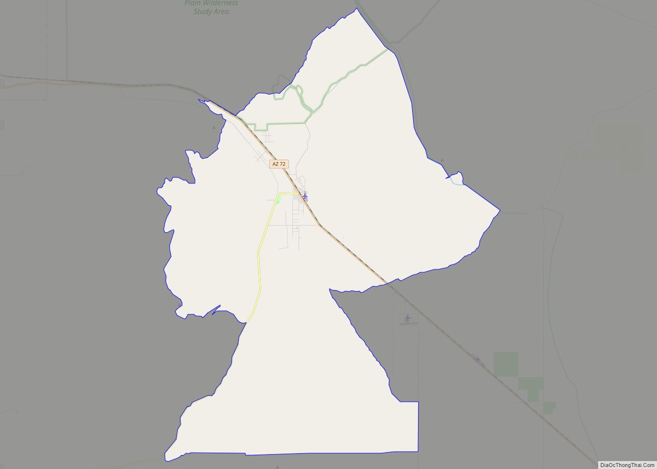
Bowie is an unincorporated community and a census-designated place in Cochise County, Arizona, United States. As of the 2010 U.S. Census the population of Bowie was 449. Bowie CDP overview: Name: Bowie CDP LSAD Code: 57 LSAD Description: CDP (suffix) State: Arizona County: Cochise County Elevation: 3,763 ft (1,147 m) Total Area: 1.71 sq mi (4.42 km²) Land Area: 1.71 sq mi ... Read more
Bouse (/ˈbaʊs/ BOWSS rhymes with “house”) is a census-designated place (CDP) and ghost town in La Paz County, Arizona, United States. Founded in 1908 as a mining camp, the economy of Bouse is now based on tourism, agriculture, and retirees. The population was 996 at the 2010 census. It was originally named Brayton after the ... Read more
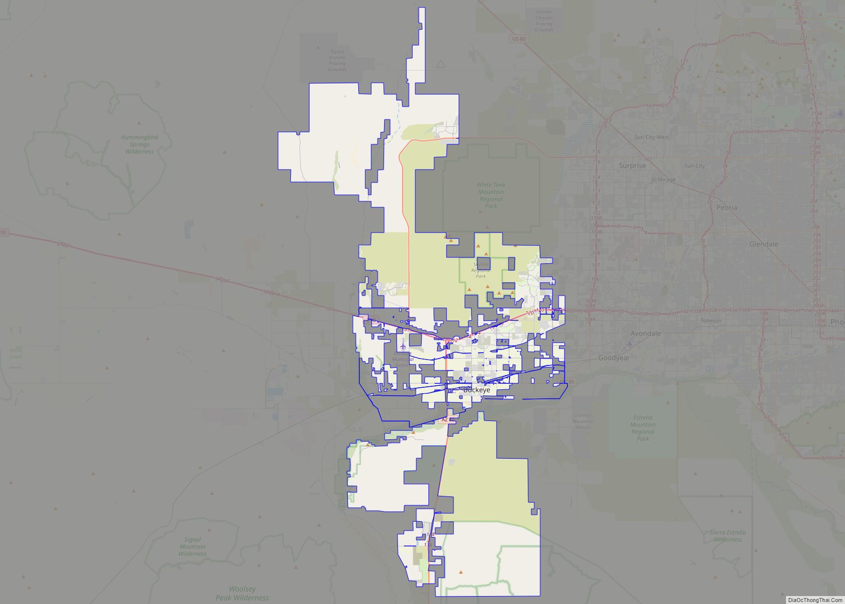
Buckeye is a city in Maricopa County, Arizona, United States. It is Arizona’s largest city by area, and it is the westernmost suburb in the Phoenix Metropolitan Area. As of the 2020 census, the population was 91,502, up from 50,876 in 2010, and 6,537 in 2000. It was the fastest-growing city in the United States ... Read more
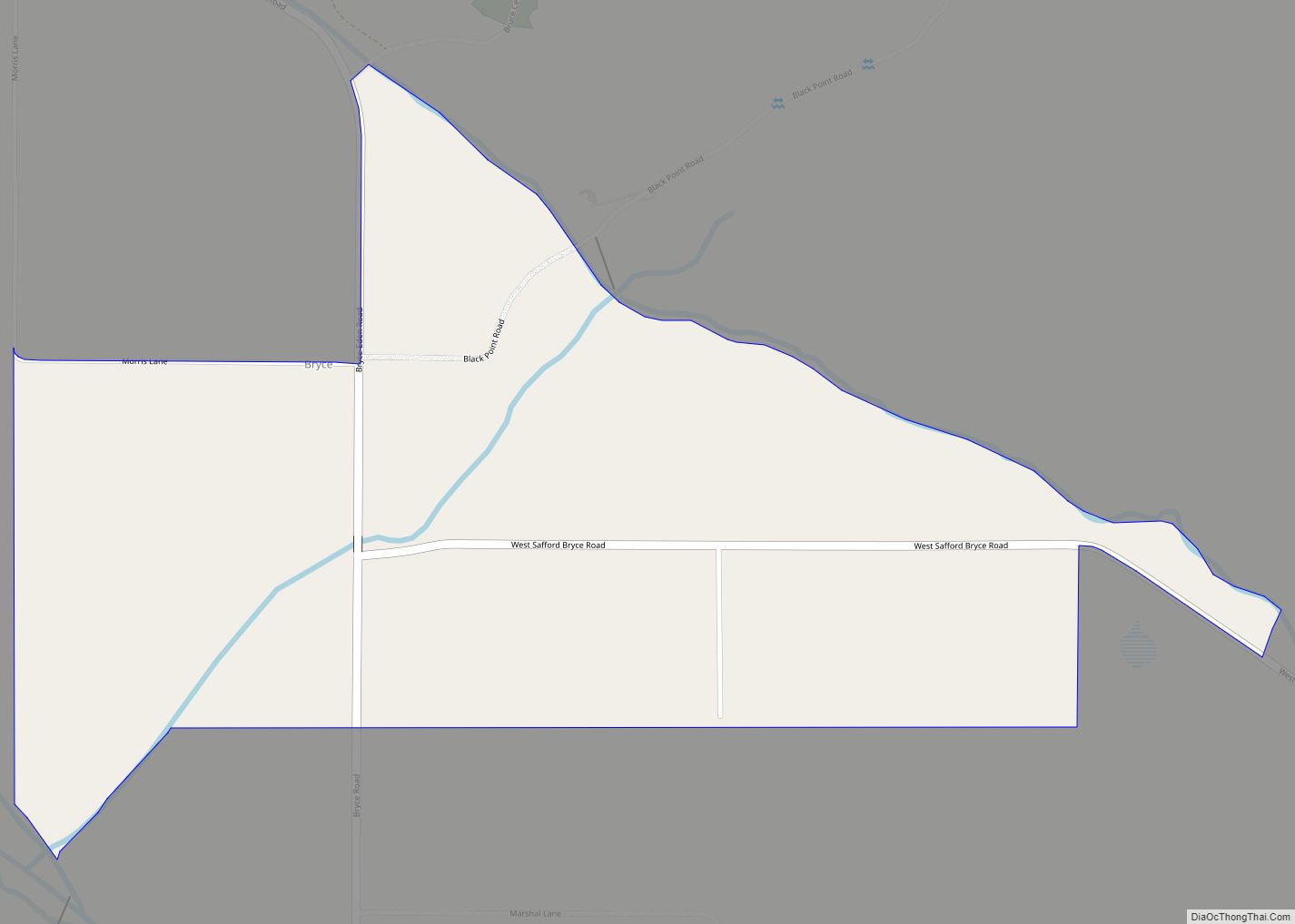
Bryce is a census-designated place in Graham County, Arizona, United States. Its population was 173 as of the 2020 census. Bryce is located in the upper Gila River valley, approximately two miles north of Pima and north of the Gila River. The first settlement at Bryce was made in 1883. Bryce is named for settler ... Read more
Buckshot is a census-designated place (CDP) in Yuma County, Arizona, United States. The population was 153 at the 2010 census. Redondo Lake, a reservoir holding seepage from the Gila Gravity Main Canal, is located to the north of Buckshot. Buckshot CDP overview: Name: Buckshot CDP LSAD Code: 57 LSAD Description: CDP (suffix) State: Arizona County: ... Read more
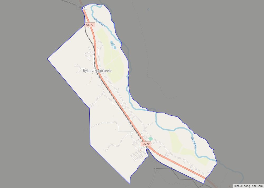
Bylas (Western Apache: Hago’teełe) is an unincorporated community and census-designated place in Graham County, Arizona, United States, located within the San Carlos Apache Indian Reservation. As of the 2010 census, its population was 1,962. The community has a medical clinic, a police substation, and a market. Bylas is an Apache settlement divided into two communities, ... Read more
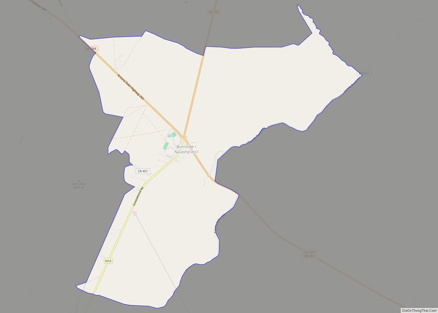
Burnside is a native village and census-designated place (CDP) on the Navajo Nation in Apache County, Arizona, United States. The population was 537 at the 2010 census. Burnside CDP overview: Name: Burnside CDP LSAD Code: 57 LSAD Description: CDP (suffix) State: Arizona County: Apache County Elevation: 6,410 ft (1,954 m) Total Area: 9.28 sq mi (24.02 km²) Land Area: 9.28 sq mi ... Read more
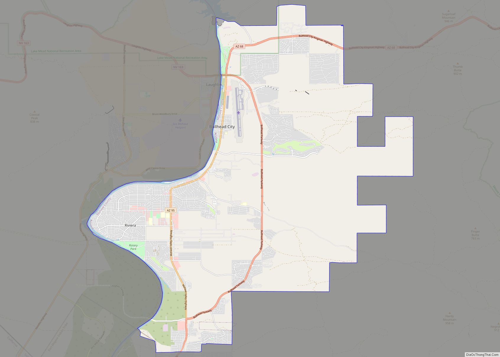
Bullhead City is a city located on the Colorado River in Mohave County, Arizona, United States, 97 miles (156 km) south of Las Vegas, Nevada, and directly across the Colorado River from Laughlin, Nevada, whose casinos and ancillary services supply much of the employment for Bullhead City. Bullhead City is located at the southern end of ... Read more
Cameron (Navajo: Naʼníʼá Hasání) is a census-designated place (CDP) in Coconino County, Arizona, United States, on the Navajo Nation. The population was 885 at the 2010 census. Most of the town’s economy is tourist food and craft stalls, restaurants, and other services for north–south traffic from Flagstaff and Page. There is a ranger station supplying ... Read more
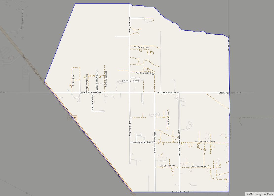
Cactus Forest is a census-designated place (CDP) in Pinal County, Arizona, United States. The population was 594 at the 2010 census. Cactus Forest CDP overview: Name: Cactus Forest CDP LSAD Code: 57 LSAD Description: CDP (suffix) State: Arizona County: Pinal County Total Area: 2.73 sq mi (7.08 km²) Land Area: 2.73 sq mi (7.08 km²) Water Area: 0.00 sq mi (0.00 km²) Total Population: ... Read more
