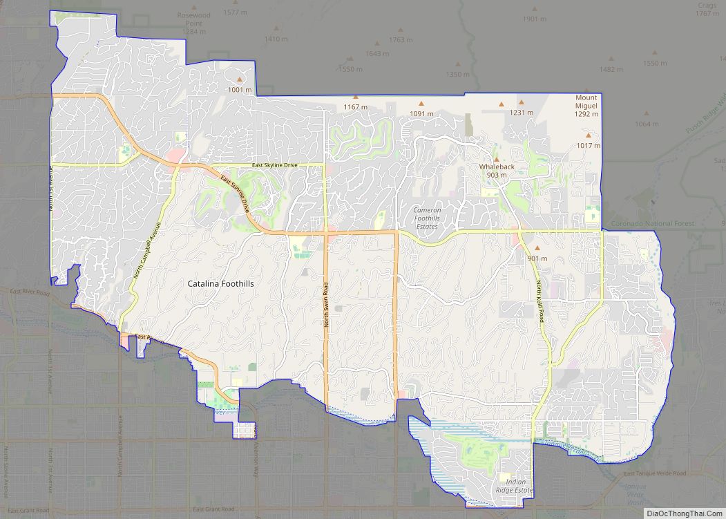
Catalina Foothills is an unincorporated community and census-designated place (CDP) located north of Tucson in Pima County, Arizona, United States. Situated in the southern foothills of the Santa Catalina Mountains, Catalina Foothills had a population of 50,796 at the 2010 census. Catalina Foothills is one of the most affluent communities in Arizona and in the ... Read more
Arizona Cities and Places
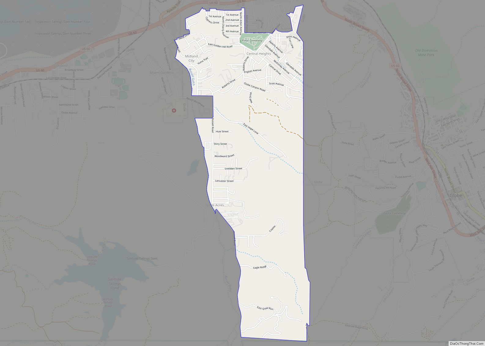
Central Heights-Midland City is an unincorporated community and census-designated place (CDP) in Gila County, Arizona, United States. The area is home to the Pinal Cemetery which serves the community in gereneral but also contains Croatian and Serbian dedicated sections. The Gila County Health and Human Services offices are located within the region. One of the ... Read more
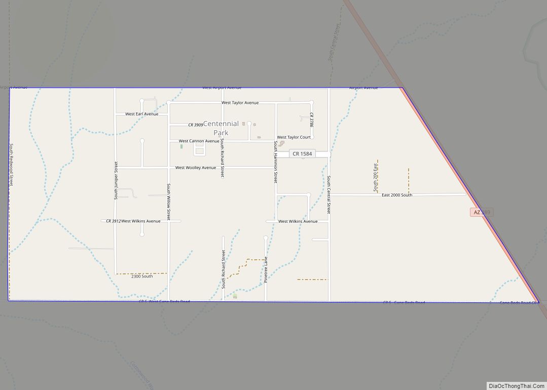
Centennial Park is an unincorporated community and census-designated place (CDP) in Mohave County, Arizona, United States. The population was 1,578 at the 2020 census, up from 1,264 at the 2010 census. It is the central location for the Centennial Park group, a fundamentalist Mormon group. Centennial Park CDP overview: Name: Centennial Park CDP LSAD Code: ... Read more
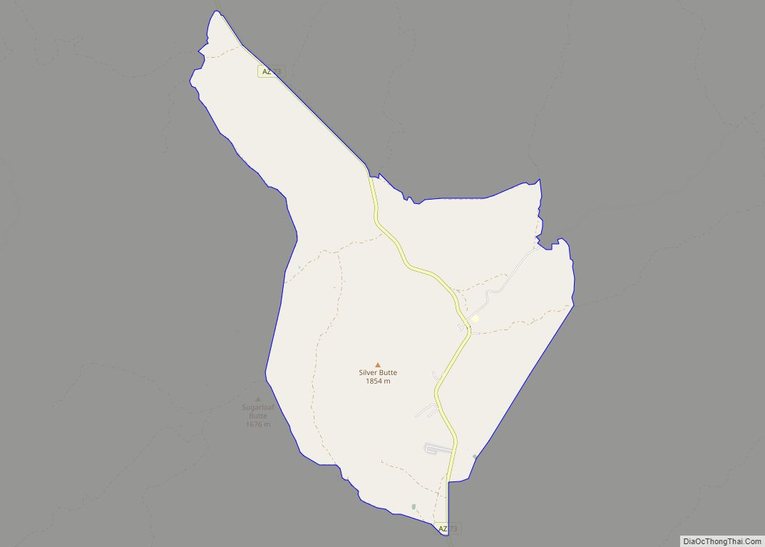
Cedar Creek is a census-designated place in Gila County, Arizona, United States, on the Fort Apache Indian Reservation. Cedar Creek is located along Arizona State Route 73. The population in 2010 was 318. Cedar Creek CDP overview: Name: Cedar Creek CDP LSAD Code: 57 LSAD Description: CDP (suffix) State: Arizona County: Gila County Elevation: 4,928 ft ... Read more
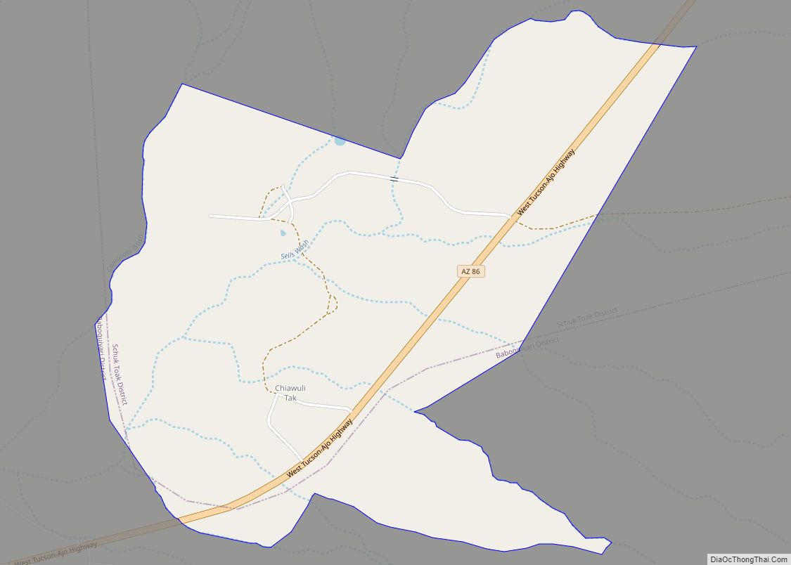
Chiawuli Tak is both a census-designated place (CDP) as well as a populated place in Pima County, Arizona, United States. Chiawuli Tak means “the barrel cactus sits” in the O’odham language. It is also unofficially known as Geowic, Jeowic, or Tjeavolitak. The population was 78 at the 2010 census. Chiawuli Tak CDP overview: Name: Chiawuli ... Read more
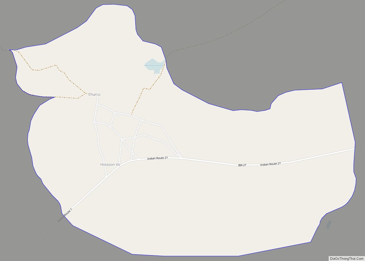
Charco is both a census-designated place (CDP) and a populated place in Pima County, Arizona, United States. The population was 52 at the 2010 census. Charco CDP overview: Name: Charco CDP LSAD Code: 57 LSAD Description: CDP (suffix) State: Arizona County: Pima County Elevation: 2,100 ft (640 m) Total Area: 0.93 sq mi (2.41 km²) Land Area: 0.93 sq mi (2.41 km²) Water ... Read more
Central is a census-designated place in Graham County, Arizona, United States. Its population was 758 as of the 2020 census. It is part of the Safford micropolitan area. Central is located between the towns of Thatcher and Pima, all west of the Graham County seat, Safford. U.S. Route 70 is the main thoroughfare. Central has ... Read more
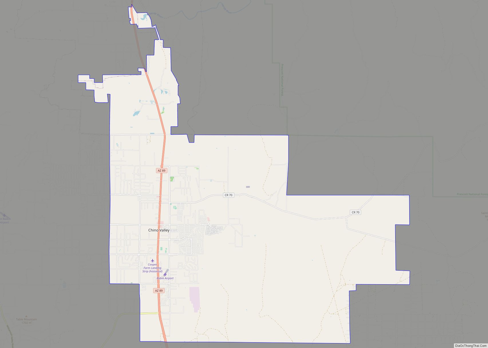
Chino Valley is a town in Yavapai County, Arizona, United States. According to the 2021 U.S. Census, the population of the town is 13,492. Chino Valley town overview: Name: Chino Valley town LSAD Code: 43 LSAD Description: town (suffix) State: Arizona County: Yavapai County Elevation: 4,707 ft (1,435 m) Total Area: 62.48 sq mi (161.83 km²) Land Area: 62.46 sq mi (161.77 km²) ... Read more
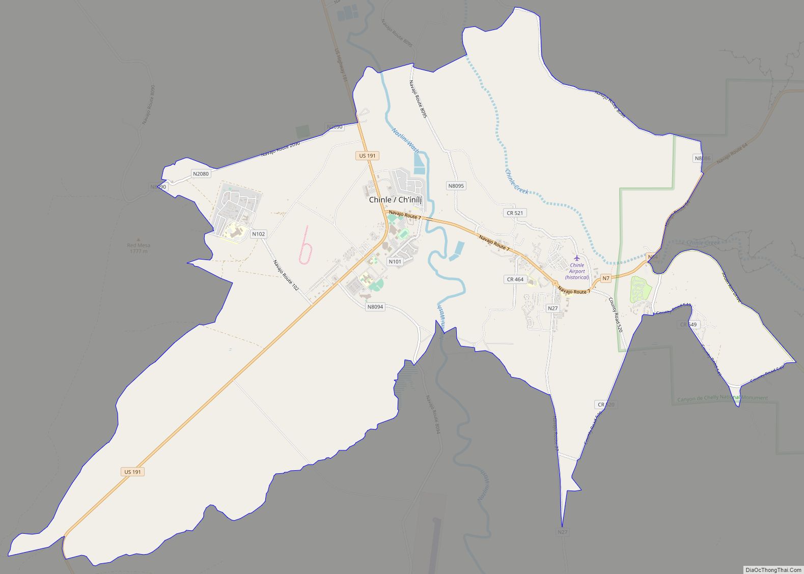
Chinle (Navajo: Chʼínílį́) is a census-designated place (CDP) in Apache County, Arizona, United States. The name in Navajo means “flowing out” and is a reference to the location where the water flows out of the Canyon de Chelly. The population was 4,518 at the 2010 census. Chinle CDP overview: Name: Chinle CDP LSAD Code: 57 ... Read more
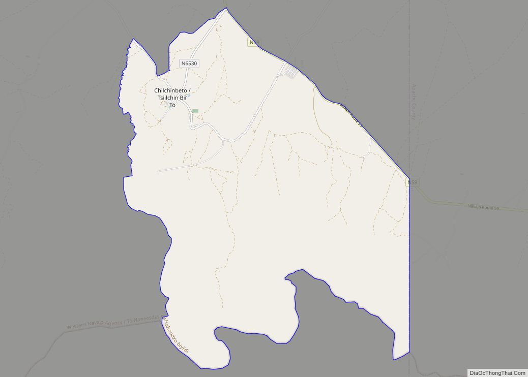
Chilchinbito (Navajo: Tsiiłchin Biiʼ Tó) is a town located on the Navajo Nation, whose lands spans four state boundary lines in the Four Corners region of the United States. The town of Chilchinbito is a census-designated place (CDP) specifically in Navajo County, Arizona, United States. The population was 506 at the 2010 census. Chilchinbito is ... Read more
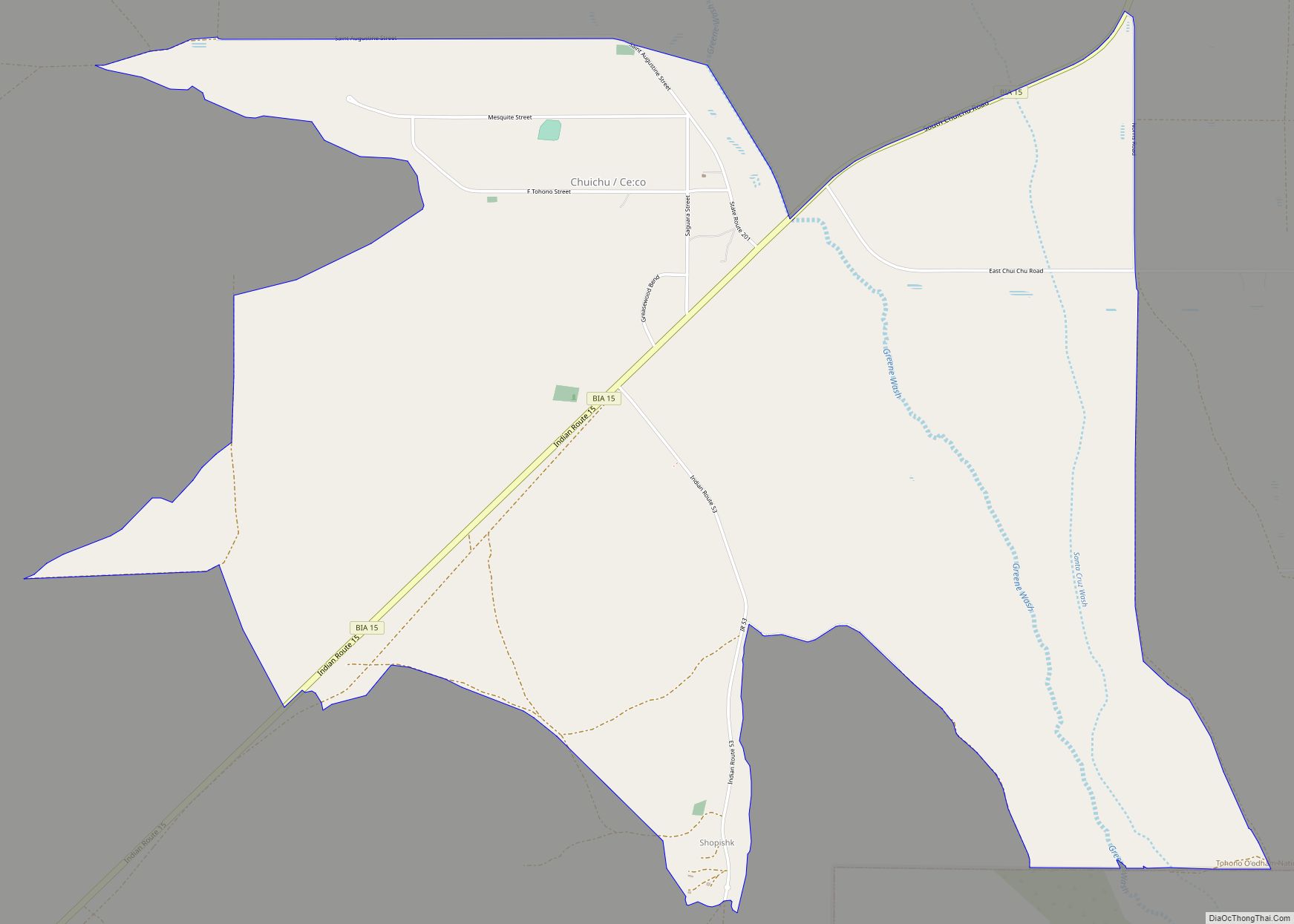
Chuichu (O’odham: Ce:co name translates as “Many Caves”) is a census-designated place (CDP) in Pinal County, Arizona, United States. The population was 308 at the 2020 census. It is the northernmost traditional village on the Tohono O’odham Nation reservation. Chuichu CDP overview: Name: Chuichu CDP LSAD Code: 57 LSAD Description: CDP (suffix) State: Arizona County: ... Read more
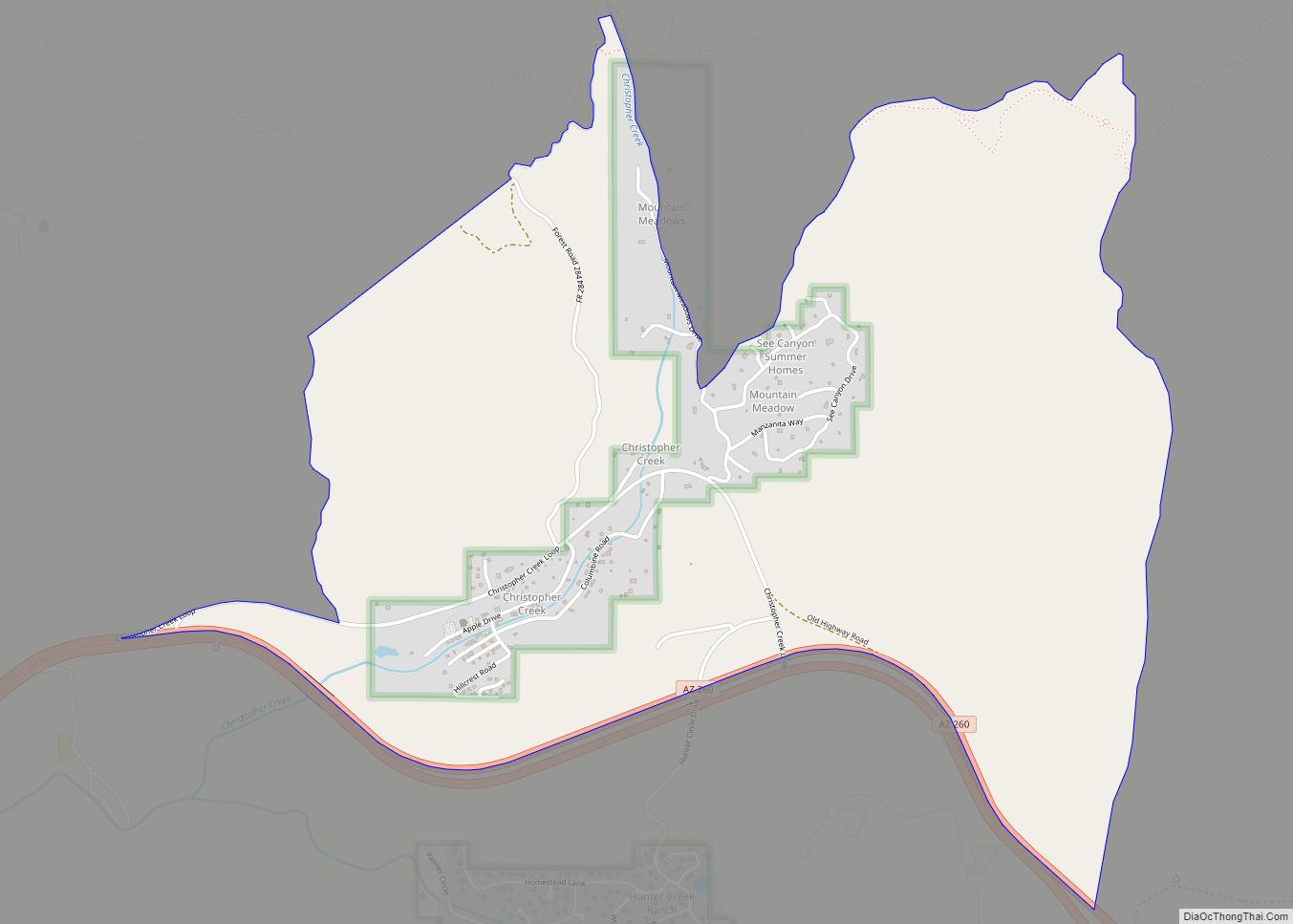
Christopher Creek is a census-designated place in northern Gila County in the U.S. state of Arizona. Situated at the base of the Mogollon Rim, the community lies at an elevation of 5,961 feet (1,817 m), and is located approximately 23.5 miles (37.82 km) northeast of Payson, just off SR 260. The population as of the 2010 U.S. ... Read more
