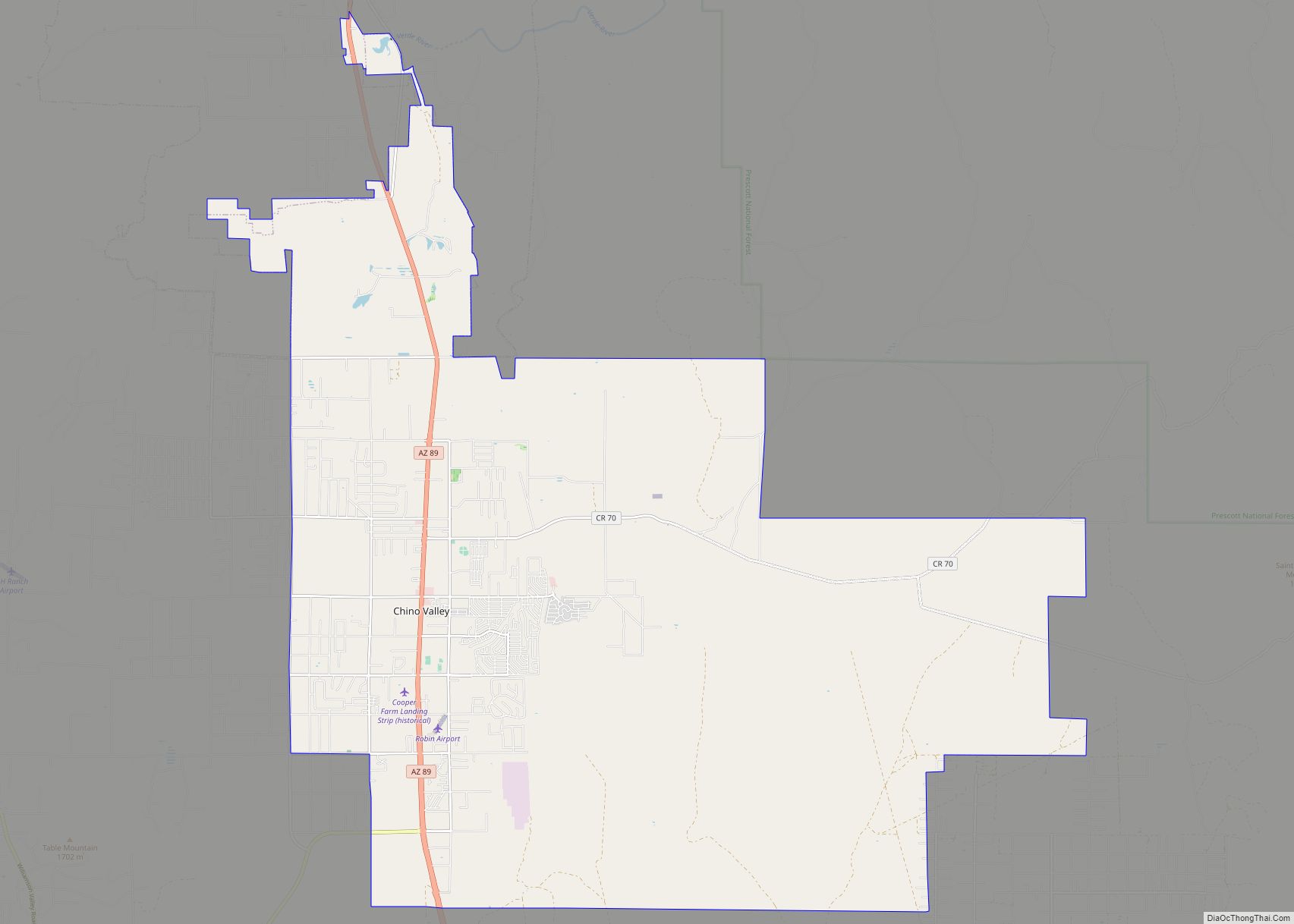
Chino Valley is a town in Yavapai County, Arizona, United States. According to the 2021 U.S. Census, the population of the town is 13,492.
| Name: | Chino Valley town |
|---|---|
| LSAD Code: | 43 |
| LSAD Description: | town (suffix) |
| State: | Arizona |
| County: | Yavapai County |
| Elevation: | 4,707 ft (1,435 m) |
| Total Area: | 62.48 sq mi (161.83 km²) |
| Land Area: | 62.46 sq mi (161.77 km²) |
| Water Area: | 0.02 sq mi (0.06 km²) |
| Total Population: | 13,020 |
| Population Density: | 208.45/sq mi (80.48/km²) |
| ZIP code: | 86323 |
| Area code: | 928 |
| FIPS code: | 0412840 |
| GNISfeature ID: | 27601 |
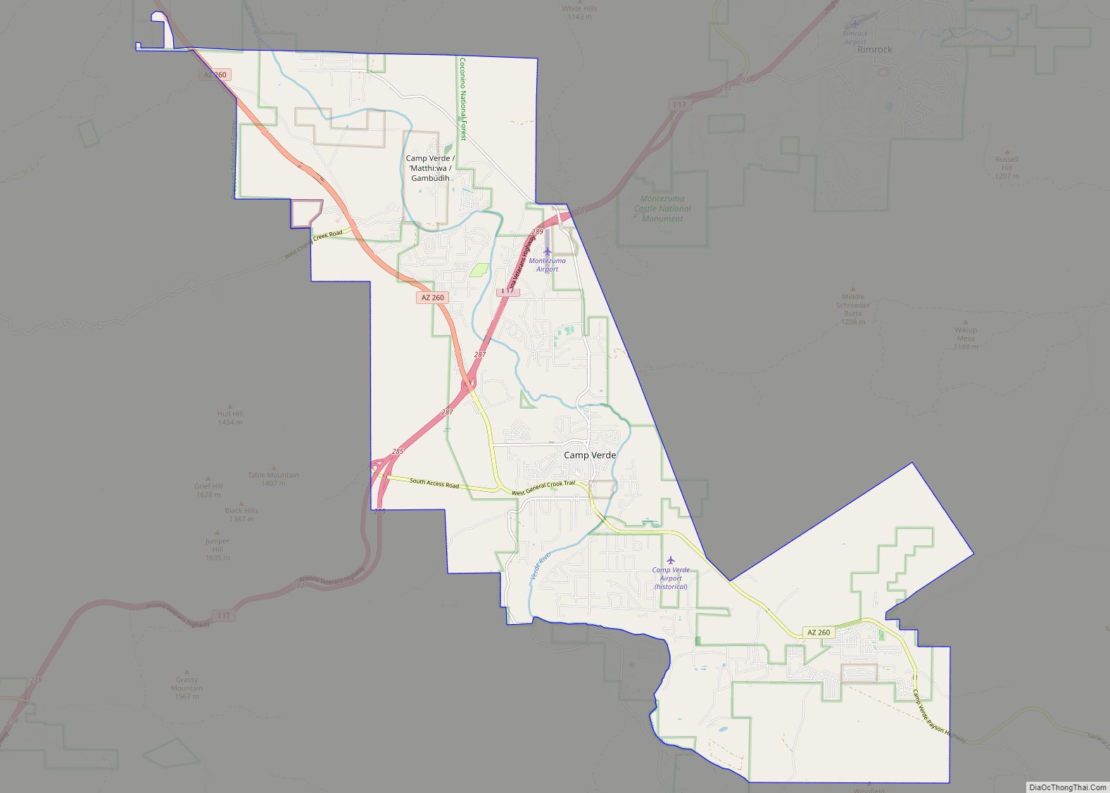
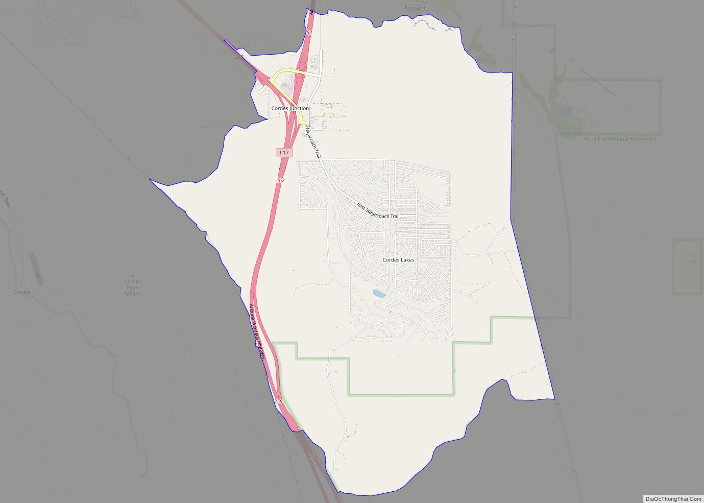
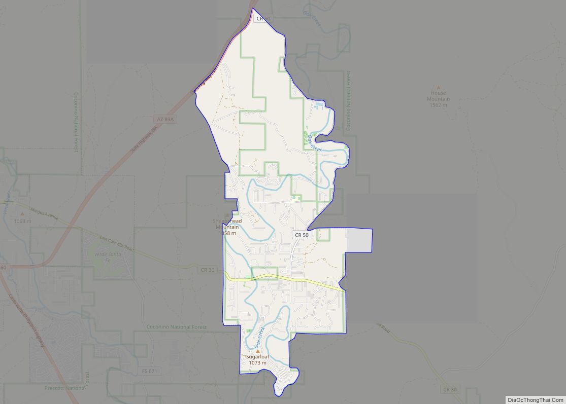
Online Interactive Map
Click on ![]() to view map in "full screen" mode.
to view map in "full screen" mode.
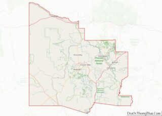
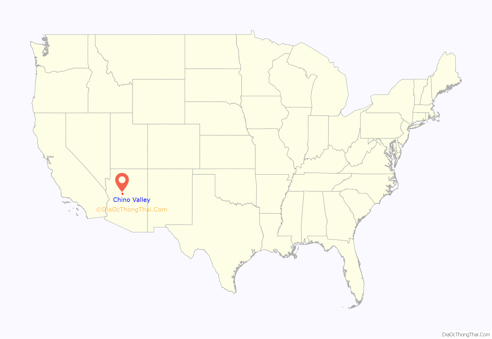
Chino Valley location map. Where is Chino Valley town?

History
Chino Valley is the site of the first Territorial Capital of Arizona. The capital moved to Prescott, 15 miles (24 km) away, in 1864. U.S. Army Cavalry Lt. Amiel W. Whipple, while traveling through the area in 1854, gave the community its name. “Chino” is the Spanish name for the abundant curly grama grass growing in the area.
In 1895, a narrow gauge branch of the United Verde and Pacific Railroad to Jerome, joining the Santa Fe, Prescott, and Phoenix Railway, was completed, and Jerome Junction was established. In 1923, the activities of Jerome Junction were absorbed by Chino Valley.
In 1960, Chino Valley’s population was estimated as 50 residents.
The town of Chino Valley was incorporated in 1970.
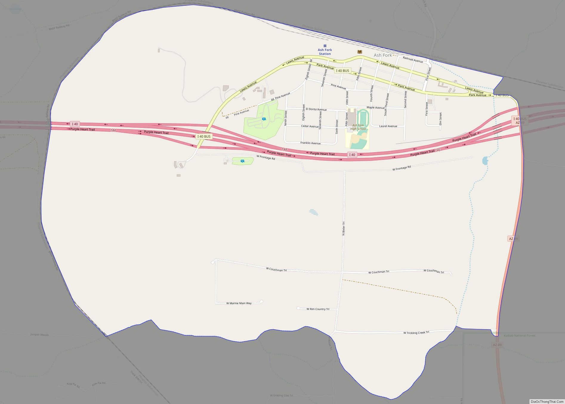
The town is in north-central Arizona, on state Highway 89, 15 miles (24 km) north of Prescott and 35 miles (56 km) south of Ash Fork, which is on Interstate 40. Chino Valley is at an elevation of about 4,750 feet (1,450 m).
Chino Valley Road Map

Chino Valley city Satellite Map
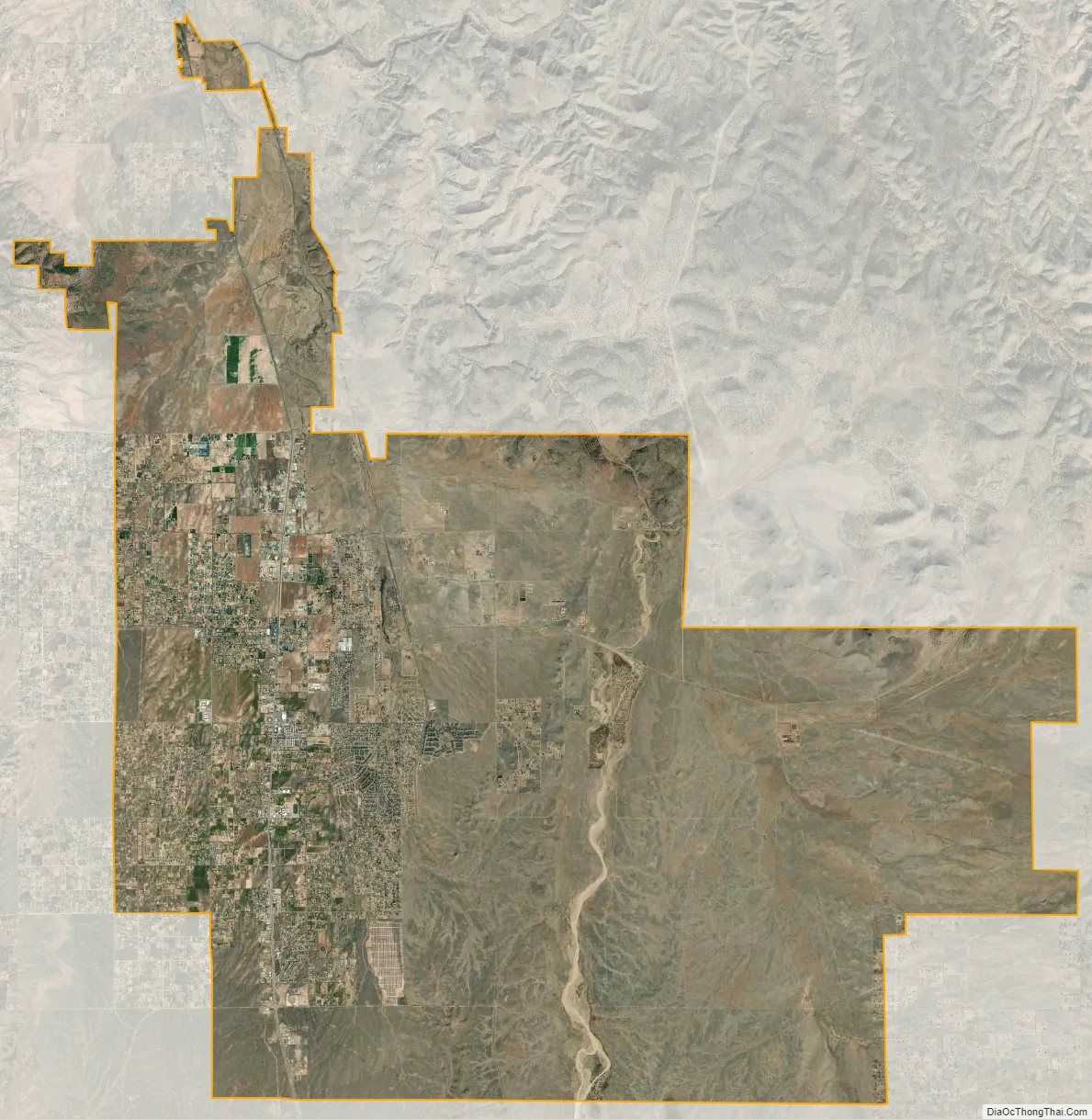
Geography
Chino Valley is located at 34°45′27″N 112°27′14″W / 34.75750°N 112.45389°W / 34.75750; -112.45389 (34.758381, -112.449758). The town is located adjacent the southeast terminus of Chino Valley, approximately 9 miles (14 km) north at Paulden. The smaller north-trending Little Chino Valley lies just east of the townsite.
According to the United States Census Bureau, the town has a total area of 63.4 square miles (164 km), all land.
See also
Map of Arizona State and its subdivision: Map of other states:- Alabama
- Alaska
- Arizona
- Arkansas
- California
- Colorado
- Connecticut
- Delaware
- District of Columbia
- Florida
- Georgia
- Hawaii
- Idaho
- Illinois
- Indiana
- Iowa
- Kansas
- Kentucky
- Louisiana
- Maine
- Maryland
- Massachusetts
- Michigan
- Minnesota
- Mississippi
- Missouri
- Montana
- Nebraska
- Nevada
- New Hampshire
- New Jersey
- New Mexico
- New York
- North Carolina
- North Dakota
- Ohio
- Oklahoma
- Oregon
- Pennsylvania
- Rhode Island
- South Carolina
- South Dakota
- Tennessee
- Texas
- Utah
- Vermont
- Virginia
- Washington
- West Virginia
- Wisconsin
- Wyoming