Catalina Foothills is an unincorporated community and census-designated place (CDP) located north of Tucson in Pima County, Arizona, United States. Situated in the southern foothills of the Santa Catalina Mountains, Catalina Foothills had a population of 50,796 at the 2010 census. Catalina Foothills is one of the most affluent communities in Arizona and in the U.S., with the 6th highest per capita income in Arizona, and the 14th highest per capita income in the U.S. of communities with a population of at least 50,000. The Catalina Foothills community includes some of Arizona’s most expensive homes and land, and has the highest median property value. It also includes resorts, golf courses, and spas.
| Name: | Catalina Foothills CDP |
|---|---|
| LSAD Code: | 57 |
| LSAD Description: | CDP (suffix) |
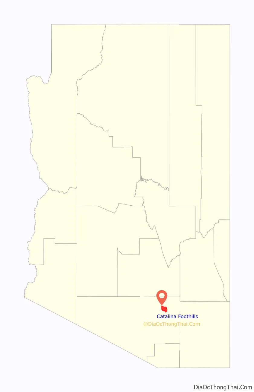
| State: | Arizona |
| County: | Pima County |
| Elevation: | 2,575 ft (785 m) |
| Total Area: | 41.92 sq mi (108.58 km²) |
| Land Area: | 41.85 sq mi (108.38 km²) |
| Water Area: | 0.08 sq mi (0.20 km²) |
| Total Population: | 52,401 |
| Population Density: | 1,252.23/sq mi (483.49/km²) |
| FIPS code: | 0411230 |
| GNISfeature ID: | 37214 |
Online Interactive Map
Click on ![]() to view map in "full screen" mode.
to view map in "full screen" mode.
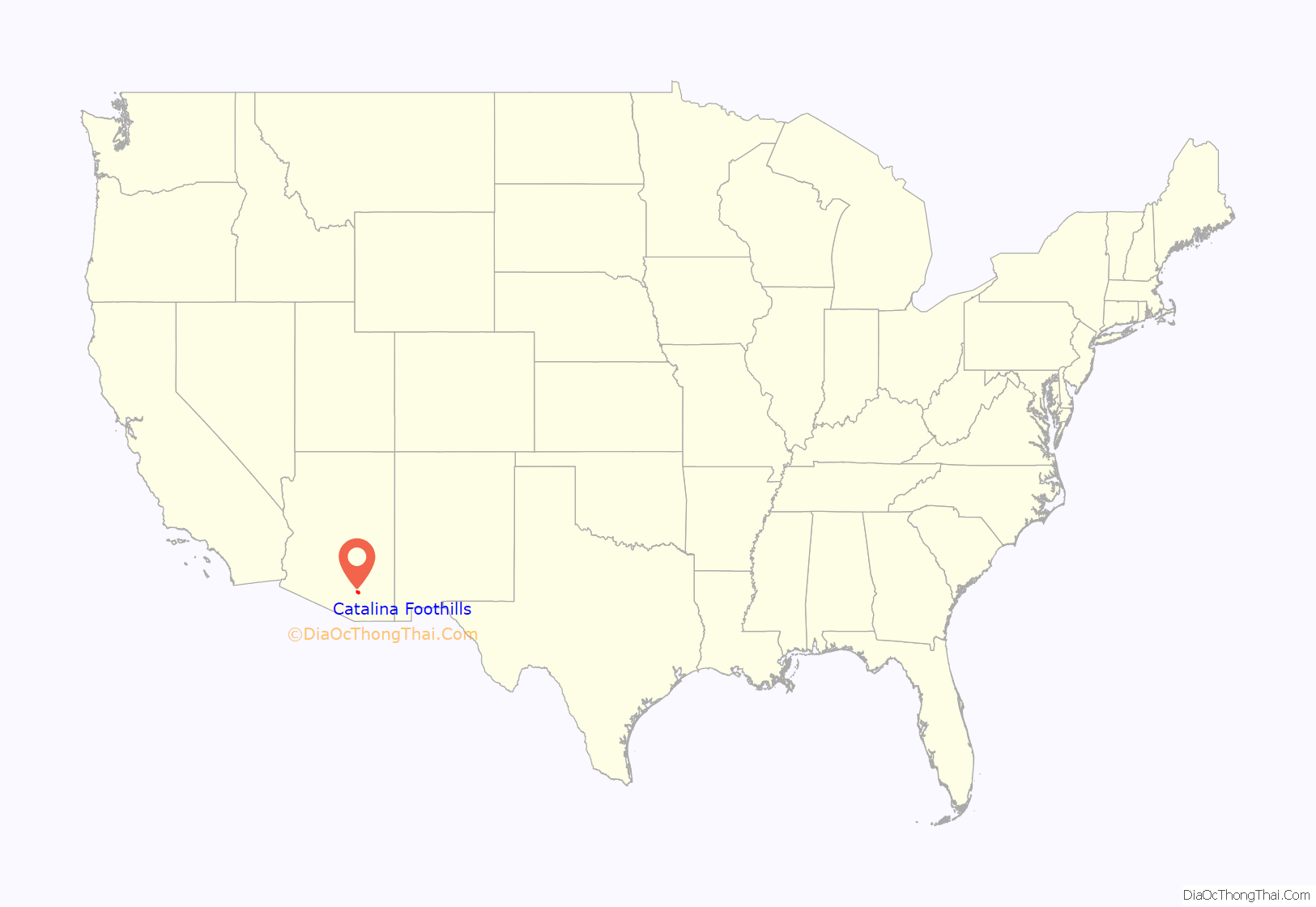
Catalina Foothills location map. Where is Catalina Foothills CDP?
History
Modern development of the Catalina Foothills dates back to the early 1920s. Prior to that time, the Catalina Foothills area was primarily federal trust land and open range for cattle grazing. Beginning in the 1920s, John Murphey began purchasing property north of River Road in the foothills of the Santa Catalina Mountains.
Murphey originally planned to develop 10 housing subdivisions with large lots. Murphey’s vision for the Catalina Foothills community was low-density residential development, on lots designed for maximum privacy, preserving existing desert vegetation, the natural terrain, and mountain views. In 1928 Murphey bought a 7,000 acres (28 km) tract of land north of River Road between North Oracle Road and Sabino Canyon in a federal land auction.
Around the same time, Josias Joesler, a Swiss architect, was retained to implement John Murphey’s vision. Residential development in the Catalina Foothills began in the 1930s, and Joesler designed a number of the homes.
In 1931, residents of the Foothills organized the Catalina Foothills School District to serve the local school-aged population. Murphey sold the school district the land for the first school building near East River Road and North Campbell Avenue, and Joesler designed the first school building. This building continues to house the school district’s administration.
In 1936, Joesler and Murphey completed the building of St. Philip’s in the Hills Episcopal Church at the corner of Campbell Avenue and River Road, which was then the main entrance to the Catalina Foothills Estates, an example of Spanish Colonial Mission architecture. The land for the church was donated by Murphey, and Joesler donated his services for its design. The congregation paid only for construction.
The Catalina Foothills’ population continued to expand, as development continued northward on the Oracle Road corridor, and eastward along the Ina Road/Skyline Drive corridor. In 1963, the Skyline Country Club was established. In the 1980s, both La Paloma Resort and Ventana Canyon Resort were established.
While the Catalina Foothills community supports a population exceeding 50,000, most of the neighborhoods maintain a low-density and suburban character.
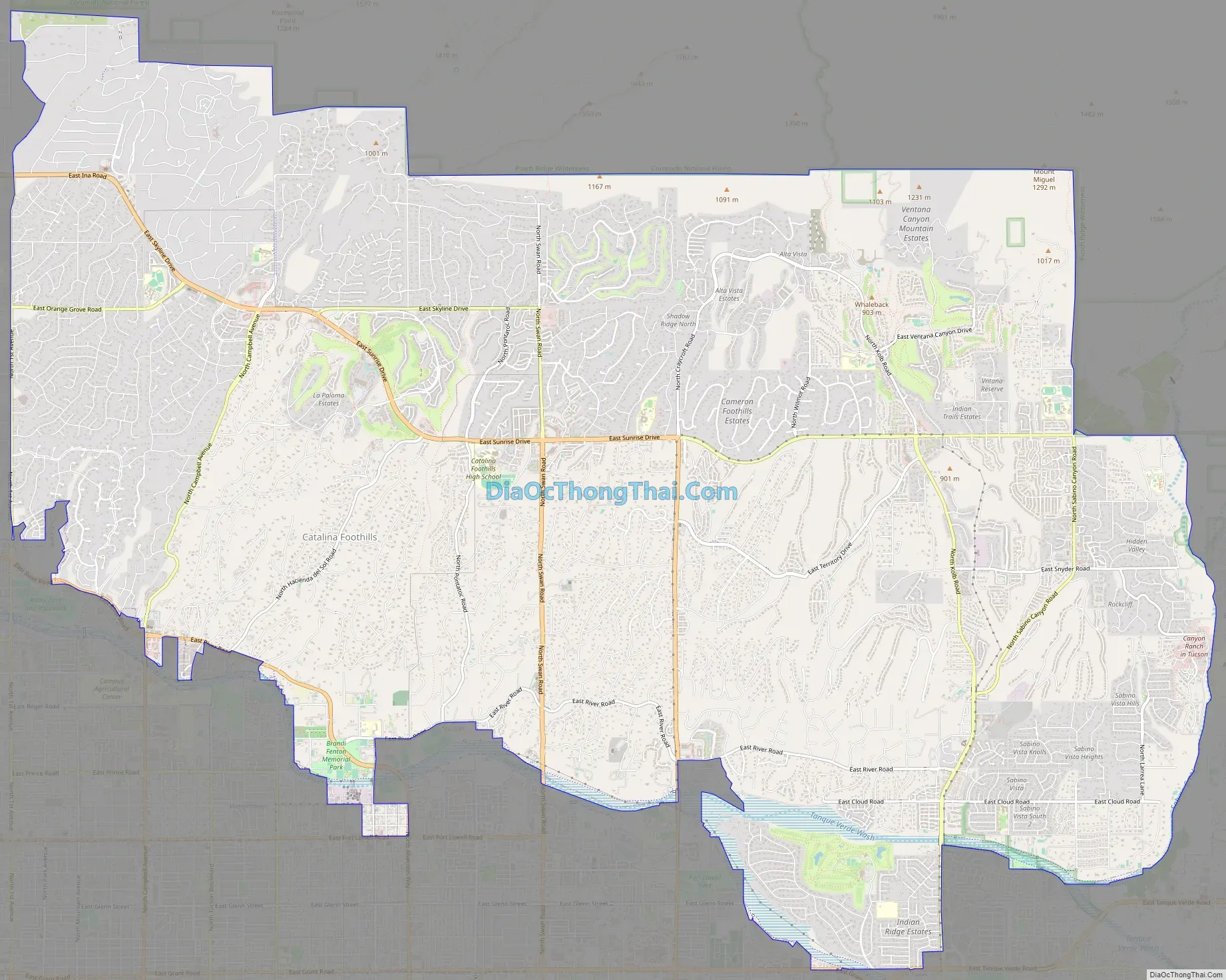
Catalina Foothills Road Map
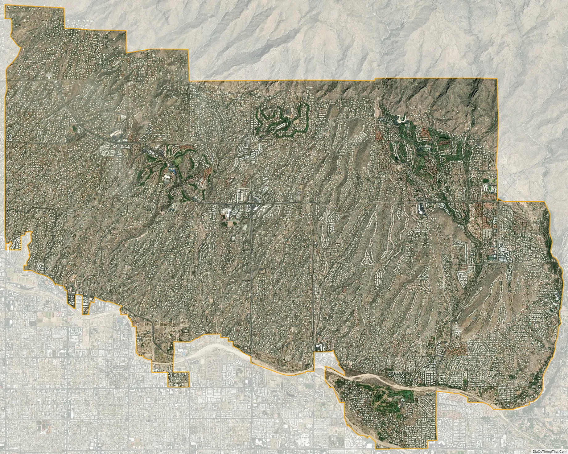
Catalina Foothills city Satellite Map
Geography
The Catalina Foothills area is defined as north of River Road, east of Oracle Road, and west of Sabino Creek. The Catalina Foothills community is bounded to the north by the Santa Catalina Ranger District of the Coronado National Forest.
Catalina Foothills is located at 32°17′38″N 110°53′2″W / 32.29389°N 110.88389°W / 32.29389; -110.88389 (32.293990, -110.883872).
According to the United States Census Bureau, the CDP has a total area of 44.6 square miles (115.5 km), of which 44.5 square miles (115.2 km) is land and 0.1 square mile (0.3 km) (0.3%) is water.
See also
Map of Arizona State and its subdivision: Map of other states:- Alabama
- Alaska
- Arizona
- Arkansas
- California
- Colorado
- Connecticut
- Delaware
- District of Columbia
- Florida
- Georgia
- Hawaii
- Idaho
- Illinois
- Indiana
- Iowa
- Kansas
- Kentucky
- Louisiana
- Maine
- Maryland
- Massachusetts
- Michigan
- Minnesota
- Mississippi
- Missouri
- Montana
- Nebraska
- Nevada
- New Hampshire
- New Jersey
- New Mexico
- New York
- North Carolina
- North Dakota
- Ohio
- Oklahoma
- Oregon
- Pennsylvania
- Rhode Island
- South Carolina
- South Dakota
- Tennessee
- Texas
- Utah
- Vermont
- Virginia
- Washington
- West Virginia
- Wisconsin
- Wyoming


