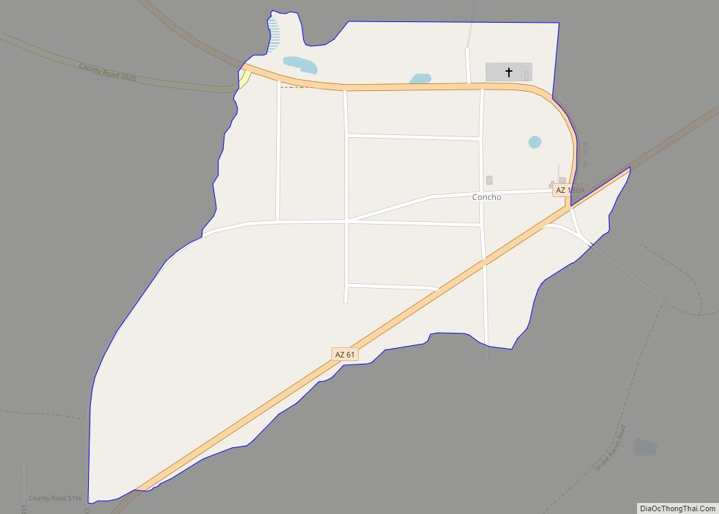
Concho is an unincorporated community and census-designated place (CDP) in Apache County, Arizona, United States. Concho is located on Arizona State Route 61, 14 miles (23 km) west of St. Johns. Concho was the original site for the state capital, due to its prosperous farming. As of the 2010 census, the Concho CDP had a population ... Read more
Arizona Cities and Places
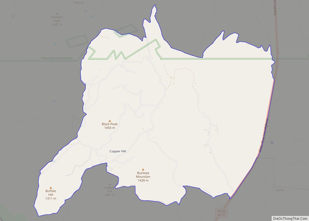
Copper Hill is a census-designated place in Gila County, Arizona, United States. Copper Hill is located near US Route 60, northeast of the city of Globe. The population as of the 2010 U.S. Census was 108. Copper Hill CDP overview: Name: Copper Hill CDP LSAD Code: 57 LSAD Description: CDP (suffix) State: Arizona County: Gila ... Read more
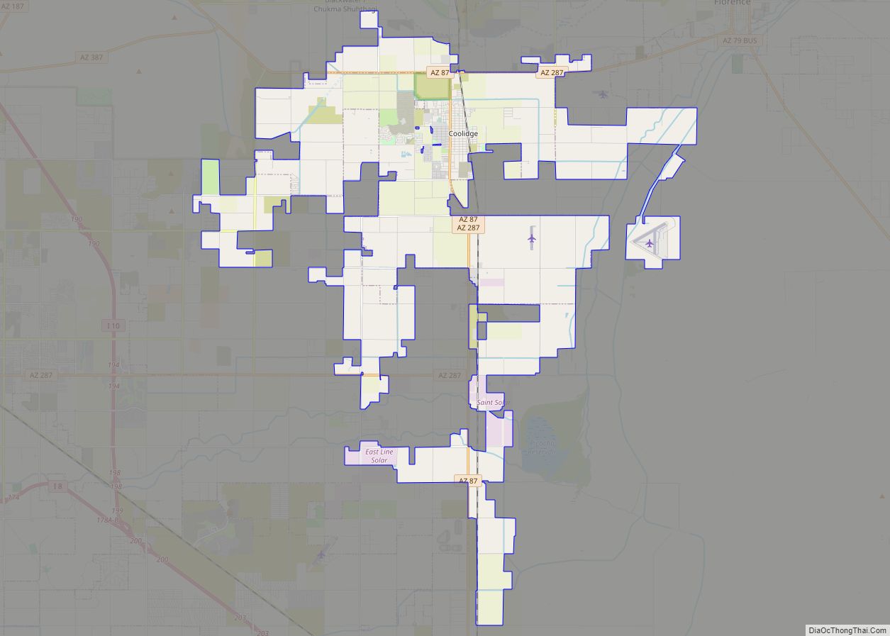
Coolidge is a city in Pinal County, Arizona, United States. According to the 2020 census, the city’s population is 13,218. Coolidge is home of the Casa Grande Ruins National Monument. The monument was the first historic site to receive protected status by the United States Government in 1892. Coolidge is also home to both Central ... Read more
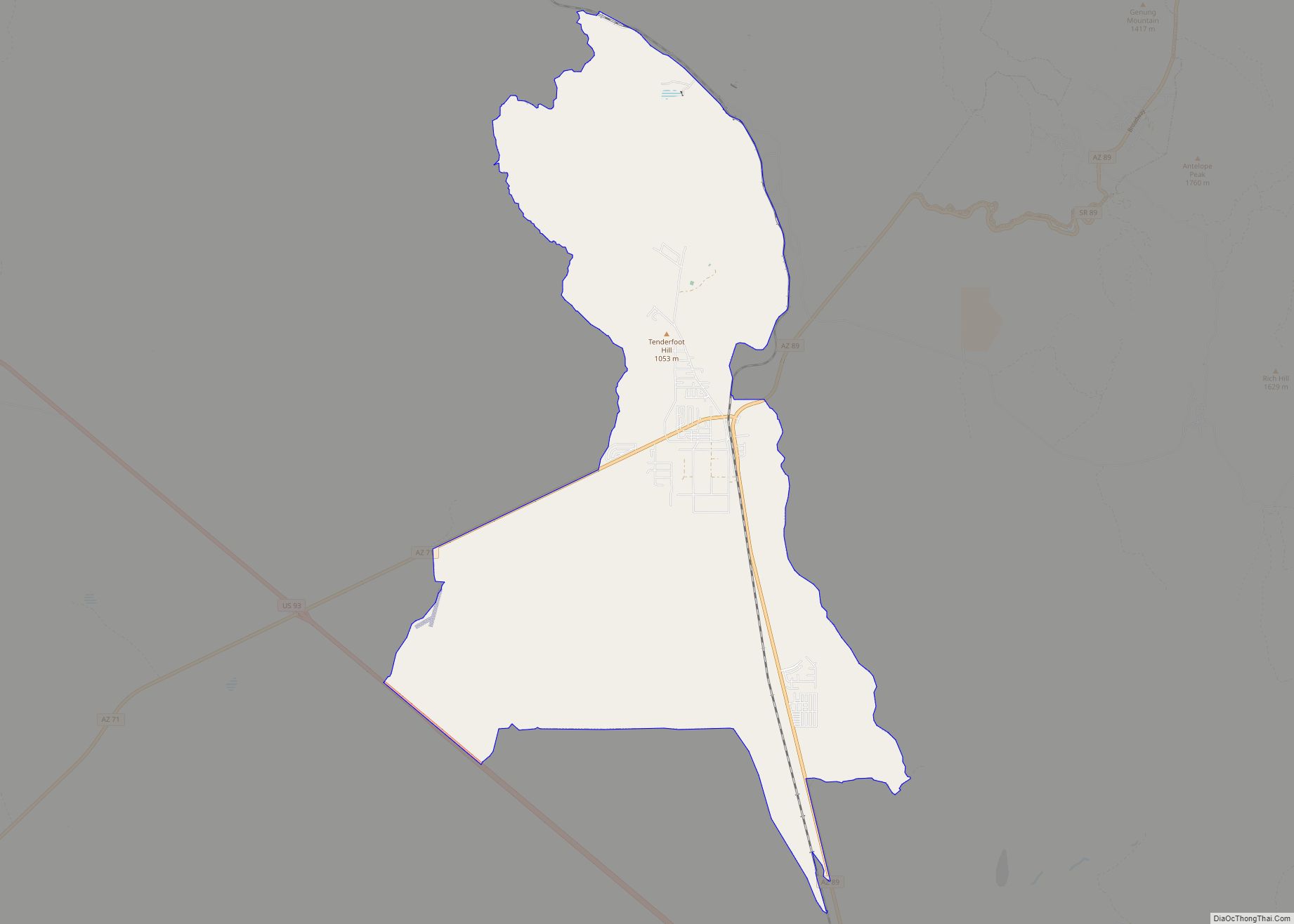
Congress (aka Old Congress) is a census-designated place (CDP) in Yavapai County, Arizona, United States. Once a gold-mining center for the Congress Mine and then a ghost town, Congress now serves as a retirement and bedroom community for nearby Wickenburg. The population was 1,811 at the 2020 census. Congress CDP overview: Name: Congress CDP LSAD ... Read more
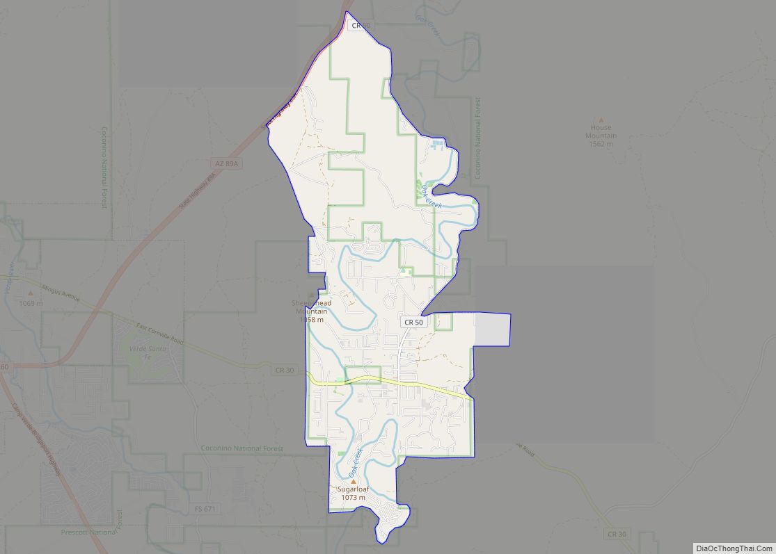
Cornville is a census-designated place (CDP) in Yavapai County, Arizona, United States. The population as of the 2010 United States Census was 3,280, down from 3,335 at the 2000 census. For statistical purposes, the United States Census Bureau has defined Cornville as a CDP that includes the unincorporated communities of Cornville and Page Springs. Cornville ... Read more
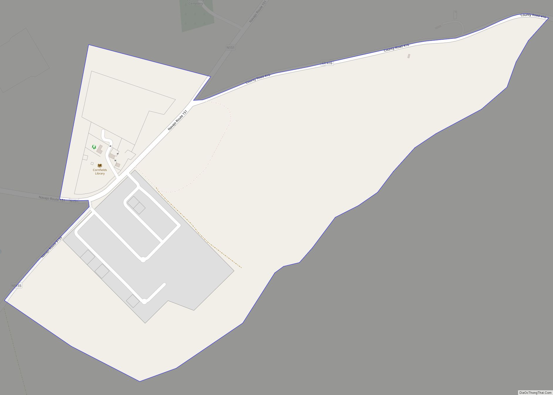
Cornfields is a chapter of the Navajo Nation and a census-designated place (CDP) in Apache County, Arizona, United States. The population was 255 at the 2010 census. Cornfields is part of the Fort Defiance Agency, of the Bureau of Indian Affairs; Ganado, AZ is the delegate seat for the district that encompasses the Jeddito, Cornfields, ... Read more
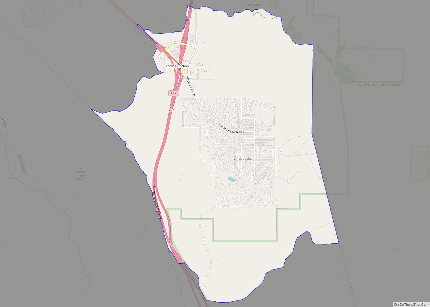
Cordes Lakes is a census-designated place (CDP) in Yavapai County, Arizona, United States. The population was 2,058 at the 2000 census. The Agua Fria National Monument lies to the east and south of the community and Arcosanti is to the north. Cordes Junction, at the intersection of Arizona State Route 69 and I-17, is located ... Read more
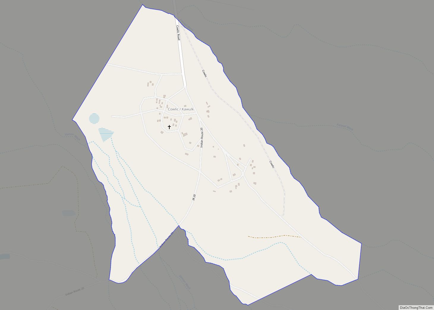
Cowlic or Kawulk (O’odham) name translates as “The Hill”, is a census-designated place (CDP) in Pima County, Arizona, United States. The population was 147 as of the 2020 census. It is located on the Tohono O’odham Nation reservation. Cowlic CDP overview: Name: Cowlic CDP LSAD Code: 57 LSAD Description: CDP (suffix) State: Arizona County: Pima ... Read more
Cottonwood is a census-designated place (CDP) in Apache County, Arizona, United States. The population was 226 at the 2010 census. Cottonwood CDP overview: Name: Cottonwood CDP LSAD Code: 57 LSAD Description: CDP (suffix) State: Arizona County: Apache County Elevation: 6,069 ft (1,850 m) Total Area: 0.16 sq mi (0.41 km²) Land Area: 0.16 sq mi (0.41 km²) Water Area: 0.00 sq mi (0.00 km²) Total Population: ... Read more
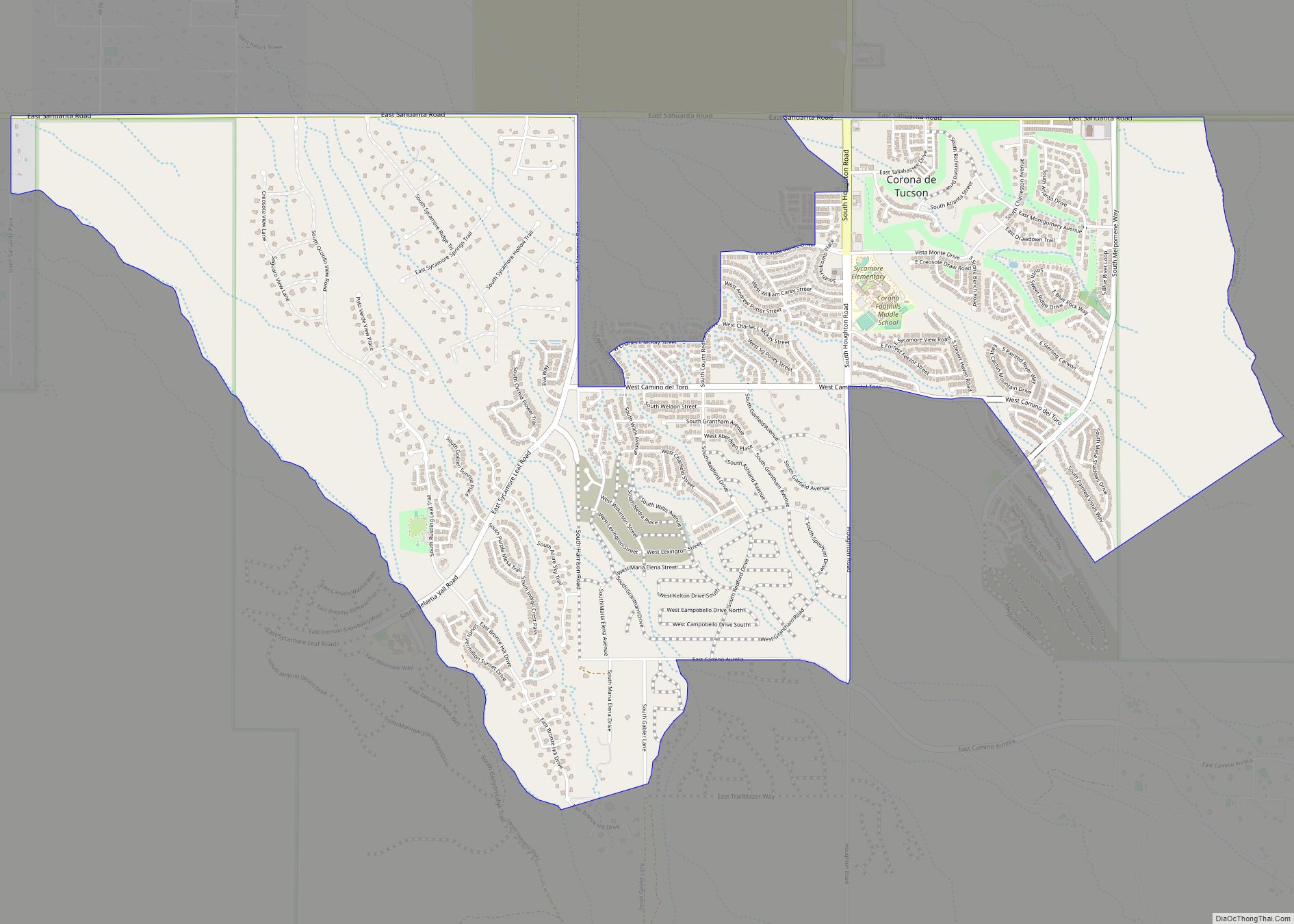
Corona de Tucson is a census-designated place (CDP) in Pima County, Arizona, United States. The population was 9,240 at the 2020 census, an increase of 1036% from the 2000 population of 813. ZIP code 85641 is shared by Corona de Tucson and Vail. Corona de Tucson CDP overview: Name: Corona de Tucson CDP LSAD Code: ... Read more
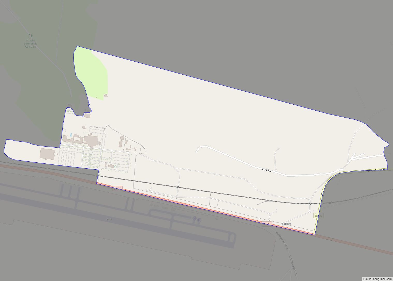
Cutter is a census-designated place in Gila County in the U.S. state of Arizona. Cutter is located just off US Route 70, east of the city of Globe. The population as of the 2010 U.S. Census was 74. Cutter CDP overview: Name: Cutter CDP LSAD Code: 57 LSAD Description: CDP (suffix) State: Arizona County: Gila ... Read more
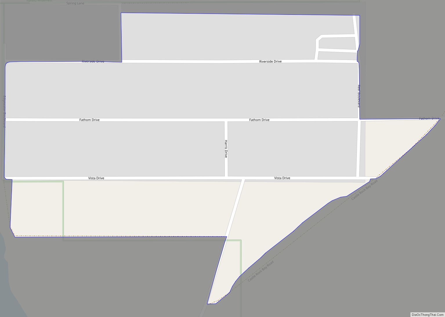
Crystal Beach is an unincorporated community and census-designated place (CDP) in Mohave County, Arizona, United States. The population was 250 at the 2020 census. Crystal Beach CDP overview: Name: Crystal Beach CDP LSAD Code: 57 LSAD Description: CDP (suffix) State: Arizona County: Mohave County Elevation: 518 ft (158 m) Total Area: 0.34 sq mi (0.88 km²) Land Area: 0.34 sq mi (0.88 km²) ... Read more
