Colorado City is a town in Mohave County, Arizona, United States, and is located in a region known as the Arizona Strip. As of the 2020 census, the population of the town was 2,478, down from 4,821 in 2010. At least three Mormon fundamentalist sects are said to have been based there. A majority of residents and many local officials belong to the most prominent of these sects, the Fundamentalist Church of Jesus Christ of Latter-Day Saints, whose corporation also owned much of the land within and around the town until state intervention in the 2000s.
| Name: | Colorado City town |
|---|---|
| LSAD Code: | 43 |
| LSAD Description: | town (suffix) |
| State: | Arizona |
| County: | Mohave County |
| Founded: | 1913 |
| Elevation: | 4,977 ft (1,517 m) |
| Total Area: | 9.21 sq mi (23.84 km²) |
| Land Area: | 9.20 sq mi (23.82 km²) |
| Water Area: | 0.01 sq mi (0.02 km²) |
| Total Population: | 2,478 |
| Population Density: | 269.41/sq mi (104.02/km²) |
| ZIP code: | 86021 |
| Area code: | 928 |
| FIPS code: | 0414870 |
| Website: | www.tocc.us |
Online Interactive Map
Click on ![]() to view map in "full screen" mode.
to view map in "full screen" mode.
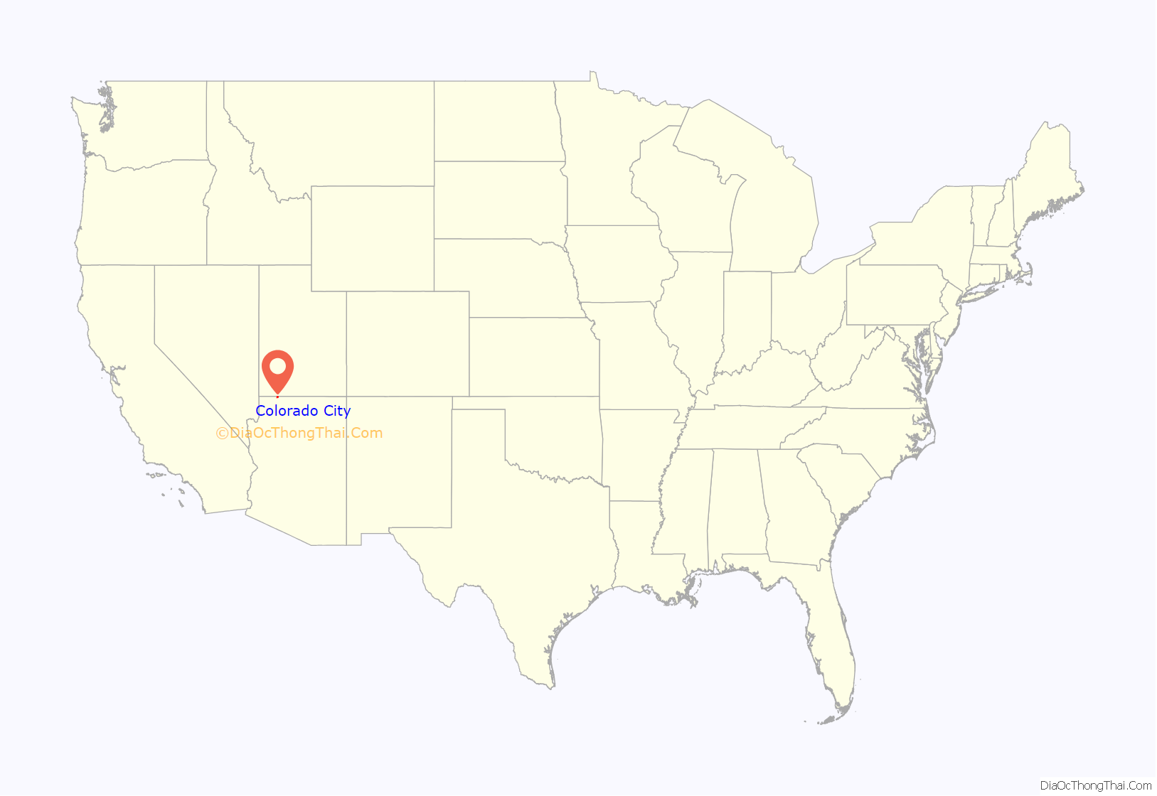
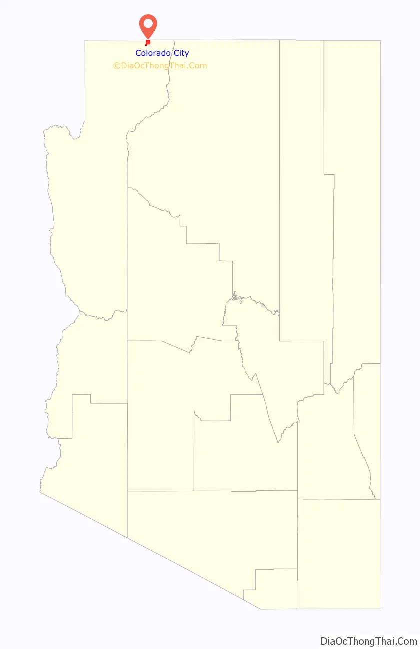
Colorado City location map. Where is Colorado City town?
History
Colorado City, formerly known as “Short Creek” (or the Short Creek Community), was founded in 1913 by members of the Council of Friends, a breakaway group from the Salt Lake City-based Church of Jesus Christ of Latter-Day Saints (LDS Church). The Council of Friends membership desired a remote location where they could practice plural marriage, which had been publicly abandoned by the LDS Church in 1890. On July 26, 1953, Arizona Governor John Howard Pyle sent troops into the settlement to stop polygamy in what became known as the Short Creek raid. The two-year legal battle that followed became a public relations disaster that damaged Pyle’s political career and set a hands-off tone toward the town in Arizona for the next 50 years.
After the death of Joseph W. Musser, the community split into two groups: the Fundamentalist Church of Jesus Christ of Latter-Day Saints stayed in Short Creek, while the Apostolic United Brethren relocated to Bluffdale, Utah. The FLDS changed the name of the community to Colorado City (on the Arizona side of the border) and Hildale (on the Utah side) to eliminate any ties to the Short Creek raids.
In January 2004, local FLDS fundamentalist leader Warren Jeffs expelled a group of 20 men, including the mayor, and gave their wives and children to other men. Jeffs, now a convicted sexual predator, stated he was acting on the orders of God, while the men expelled claimed they were penalized for disagreeing with Jeffs. Observers stated that this was the most severe split to date within the community other than the split between Colorado City and Centennial Park. According to the Utah attorney general’s office, this was not the first time Jeffs was accused of expelling men from the community; as many as 400 young men are estimated to have been expelled by Jeffs from 2001 to 2006. Most were removed for failing to follow Jeffs’ rules, or for dating women without his permission. Many of these expelled men and boys were very naïve and sheltered and often wound up homeless in nearby towns such as Hurricane and St. George, Utah. Jeffs was placed on the FBI Ten Most Wanted list and eventually arrested on August 28, 2006.
Most of the property in the town was owned by the United Effort Plan, a real estate trust of the FLDS. In 2007, the state authorities began dismantling church ownership of Colorado City lands. The FLDS church retaliated and indoctrinated their followers against the state, believing they were being targeted because of their beliefs. The FLDS followers became further secluded as a result. Remaining FLDS members refuse to believe the charges against Jeffs.
On April 6, 2010, law enforcement officials in Mohave County, Arizona, and Washington County, Utah, served five search warrants seeking records from town officers. The warrants were served on government officials and departments, including the Town Manager, David Darger, as well as Colorado City’s fire chief Jacob Barlow. As a result of the initial warrants, the Hildale-Colorado City Department of Public Safety was shut down, and emergency responders were prohibited from responding to calls without the approval of county officials. Firefighter Glen Jeffs indicated that the warrants referenced “misuse of funds”.
In response to a civil rights lawsuit by the United States Justice Department alleging that the Colorado City government, including law enforcement, was taking orders from the FLDS Church, Arizona Attorney General Tom Horne announced in July 2012 that he was allocating funding to allow the Mohave County Sheriff’s Department to provide daily patrols in the town.
On March 20, 2014, a jury hearing the case of Cooke et al v. Colorado City, Town of et al ruled that the towns of Colorado City and Hildale had discriminated against Ronald and Jinjer Cooke because they were not members of the FLDS Church. The Cookes were awarded $5.2 million for “religious discrimination”. The Cooke family had moved to the Short Creek area in 2008 but were refused access to utilities by the towns of Colorado City and Hildale. As a result of the ruling, Arizona Attorney General Tom Horne issued a press release stating that he “wants to eradicate discrimination in two polygamous towns” and believes that the court ruling will give him the tools to do it.
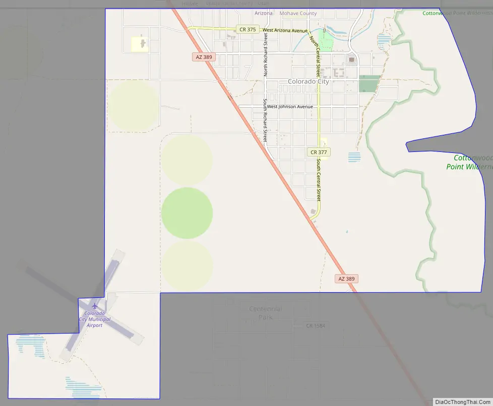
Colorado City Road Map
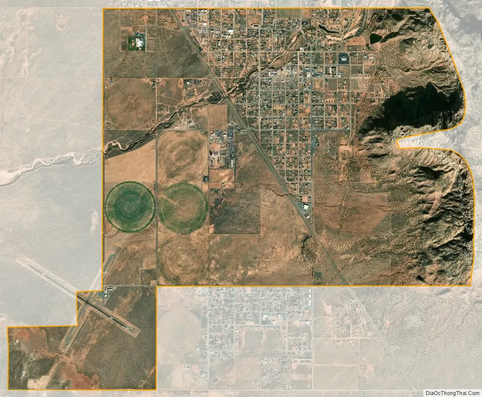
Colorado City city Satellite Map
Geography
Colorado City is located in northeastern Mohave County at 36°59′25″N 112°58′33″W / 36.99028°N 112.97583°W / 36.99028; -112.97583 (36.99026, -112.97577) Its northern border is the Arizona–Utah state line, with the town of Hildale, Utah, to the north. Arizona State Route 389 passes through the center of town, leading east 31 miles (50 km) to Fredonia. To the north, Route 389 becomes Utah State Route 59, which leads northwest 22 miles (35 km) to Hurricane.
According to the United States Census Bureau, the town has a total area of 9.2 square miles (24 km), of which 0.01 square miles (0.03 km), or 0.09%, are water.
Colorado City has the typical cool semi-arid climate (Köppen BSk) of the interior Mountain West, with very warm to hot summers and cool to cold winters, typified by very large diurnal temperature ranges throughout most of the year. The hottest day on record was July 5, 1985, with 108 °F (42 °C). Rainfall is lowest from April to June, but is never particularly high on average, though during strong extratropical low pressure systems, as much as 5 inches (130 mm) may occasionally fall during a month. The wettest year has been 1998 with 26.36 inches (669.5 mm), though only 2005 has otherwise received over 20 inches (508 mm), whilst the driest year since 1963 has been 2009 with 6.45 inches (163.8 mm). Snowfall is relatively light; the most in a month was in January 1982 with 29.0 inches (0.74 m) and that winter had the most for a year with 46.50 inches (1.181 m). The highest daily snow depth was however on February 2, 1979, with 13 inches (0.33 m).
See also
Map of Arizona State and its subdivision: Map of other states:- Alabama
- Alaska
- Arizona
- Arkansas
- California
- Colorado
- Connecticut
- Delaware
- District of Columbia
- Florida
- Georgia
- Hawaii
- Idaho
- Illinois
- Indiana
- Iowa
- Kansas
- Kentucky
- Louisiana
- Maine
- Maryland
- Massachusetts
- Michigan
- Minnesota
- Mississippi
- Missouri
- Montana
- Nebraska
- Nevada
- New Hampshire
- New Jersey
- New Mexico
- New York
- North Carolina
- North Dakota
- Ohio
- Oklahoma
- Oregon
- Pennsylvania
- Rhode Island
- South Carolina
- South Dakota
- Tennessee
- Texas
- Utah
- Vermont
- Virginia
- Washington
- West Virginia
- Wisconsin
- Wyoming


