Coolidge is a city in Pinal County, Arizona, United States. According to the 2020 census, the city’s population is 13,218.
Coolidge is home of the Casa Grande Ruins National Monument. The monument was the first historic site to receive protected status by the United States Government in 1892. Coolidge is also home to both Central Arizona College and the Central Arizona Valley Institute of Technology.
| Name: | Coolidge city |
|---|---|
| LSAD Code: | 25 |
| LSAD Description: | city (suffix) |
| State: | Arizona |
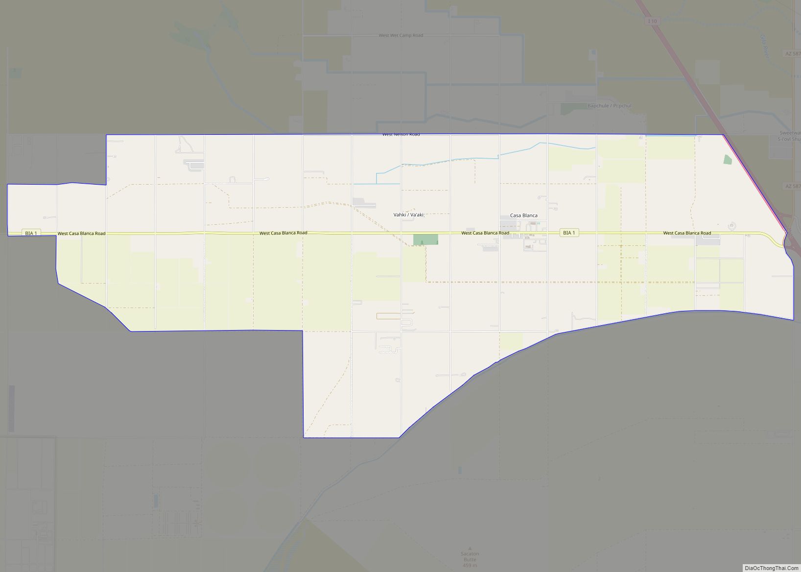
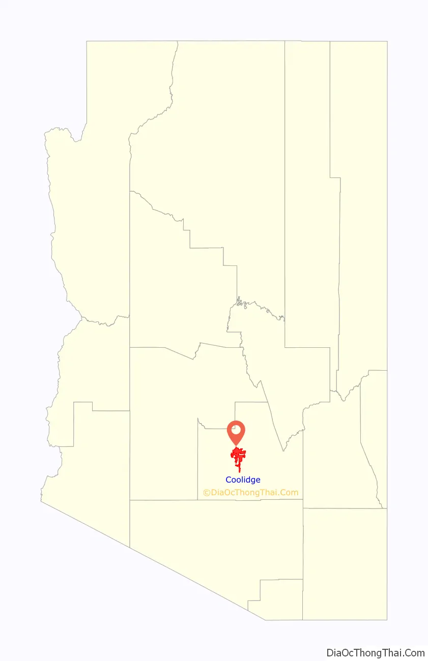
| County: | Pinal County |
| Founded: | 1925 |
| Incorporated: | 1945 |
| Elevation: | 1,424 ft (434 m) |
| Total Area: | 83.05 sq mi (215.11 km²) |
| Land Area: | 82.89 sq mi (214.69 km²) |
| Water Area: | 0.16 sq mi (0.42 km²) 0% |
| Total Population: | 13,218 |
| Population Density: | 159.46/sq mi (61.57/km²) |
| ZIP code: | 85128 |
| Area code: | 520 |
| FIPS code: | 0415500 |
| Website: | “Coolidge AZ”. coolidgeaz.com. |
Online Interactive Map
Click on ![]() to view map in "full screen" mode.
to view map in "full screen" mode.
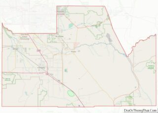
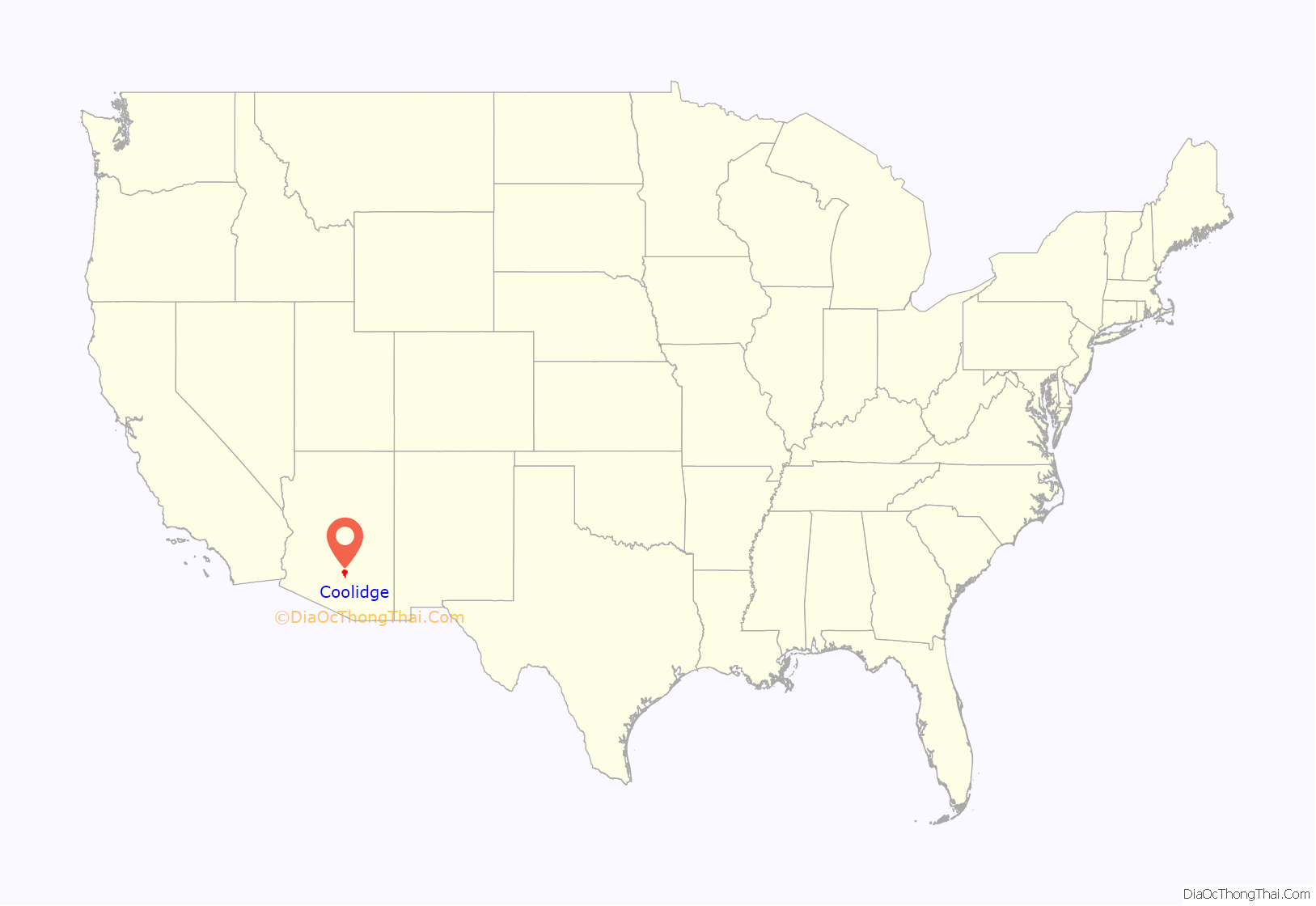
Coolidge location map. Where is Coolidge city?
History
The area containing what is now the City of Coolidge was occupied by the Hohokam, an indigenous ancient Sonoran Desert people who built a massive compound consisting many of caliche structures and remained in the area for over 1,000 years. The only remaining and preserved structure from this compound is the Casa Grande Ruins National Monument.
The modern history of the city is centered around agriculture, particularly cotton. Coolidge was founded in 1925 when R.J. Jones laid out an 80 acres (32 ha) site during the construction of the Coolidge Dam on the nearby Gila River, which was completed in 1930. Both the dam and the townsite were named for Calvin Coolidge, the 30th President of the United States. The dam made the sandy soil native to the area into very rich farmland, and soon vast expanses of desert were plowed and acres of cotton were planted. This is when the area’s status as the hub of the Arizona cotton industry was solidified and led to the incorporation of Coolidge as a city in 1945.
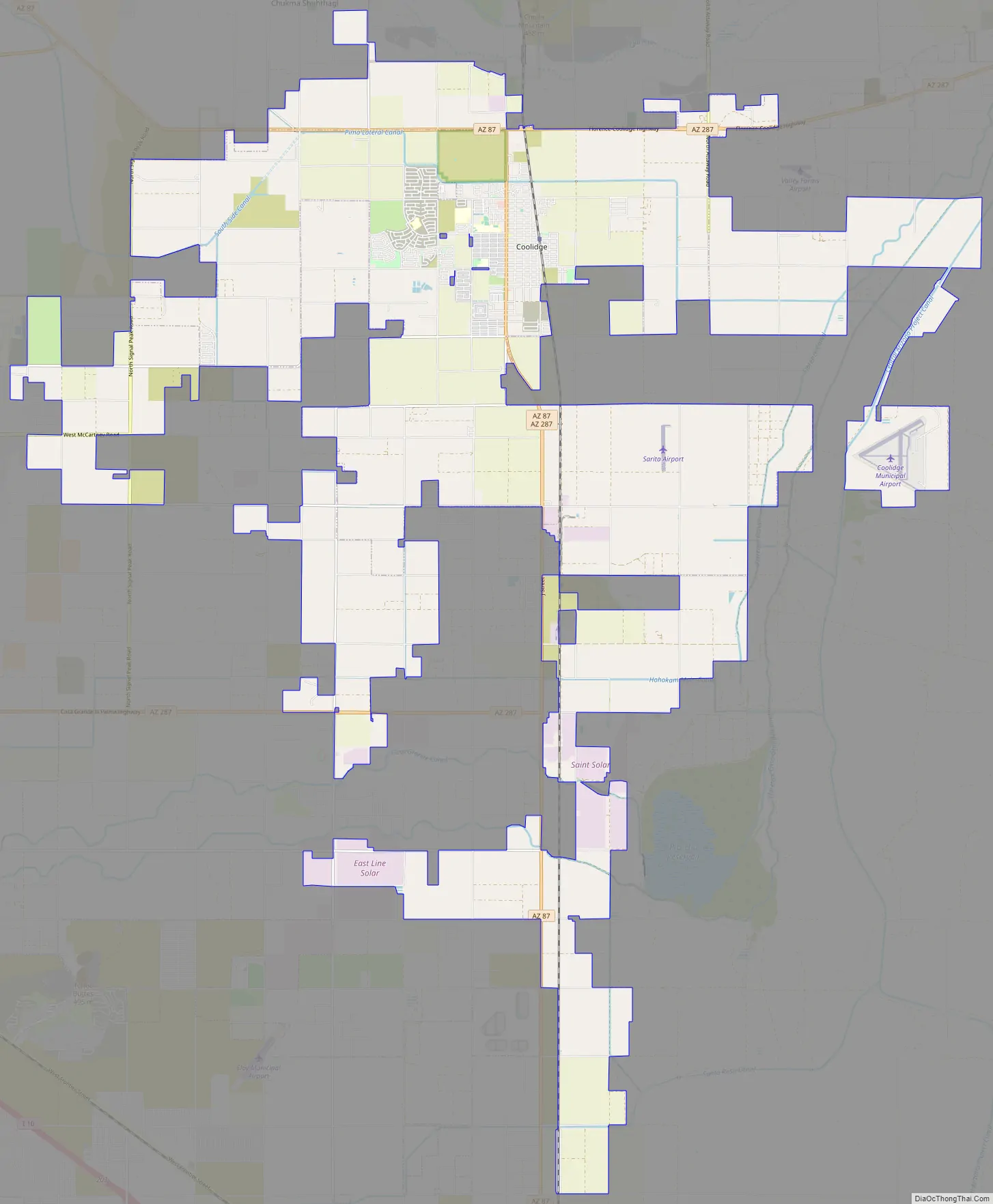
Coolidge Road Map
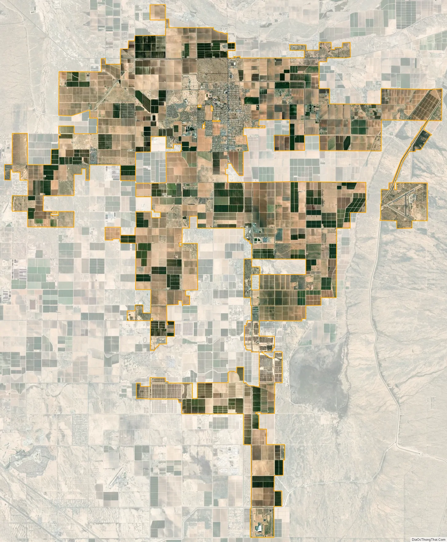
Coolidge city Satellite Map
Geography
According to the United States Census Bureau, the city has a total area of 5.0 square miles (13 km), all of it land. It contains no mountains and is almost entirely flat, lying in a fertile valley located just south of the Gila River. The Sacaton Mountains are visible to the west, and the Picacho Mountains are visible to the southeast.
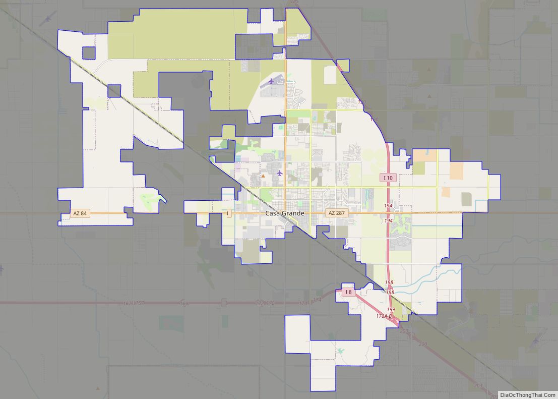
Arizona State Route 87 and Arizona State Route 287 pass through the town, providing connections to the Phoenix metropolitan area, Casa Grande, and Eloy. Interstate 10 is located approximately 10 miles (16 km) to the west. Coolidge is 56 miles (90 km) southeast of Phoenix, 69 miles (111 km) northwest of Tucson, 21 miles (34 km) northeast of Casa Grande and 11 miles southwest of Florence. Picacho Reservoir is just 11 miles (18 km) south of town.
See also
Map of Arizona State and its subdivision: Map of other states:- Alabama
- Alaska
- Arizona
- Arkansas
- California
- Colorado
- Connecticut
- Delaware
- District of Columbia
- Florida
- Georgia
- Hawaii
- Idaho
- Illinois
- Indiana
- Iowa
- Kansas
- Kentucky
- Louisiana
- Maine
- Maryland
- Massachusetts
- Michigan
- Minnesota
- Mississippi
- Missouri
- Montana
- Nebraska
- Nevada
- New Hampshire
- New Jersey
- New Mexico
- New York
- North Carolina
- North Dakota
- Ohio
- Oklahoma
- Oregon
- Pennsylvania
- Rhode Island
- South Carolina
- South Dakota
- Tennessee
- Texas
- Utah
- Vermont
- Virginia
- Washington
- West Virginia
- Wisconsin
- Wyoming