Map of Harrisburg city

Map of Harrisburg city, Arkansas

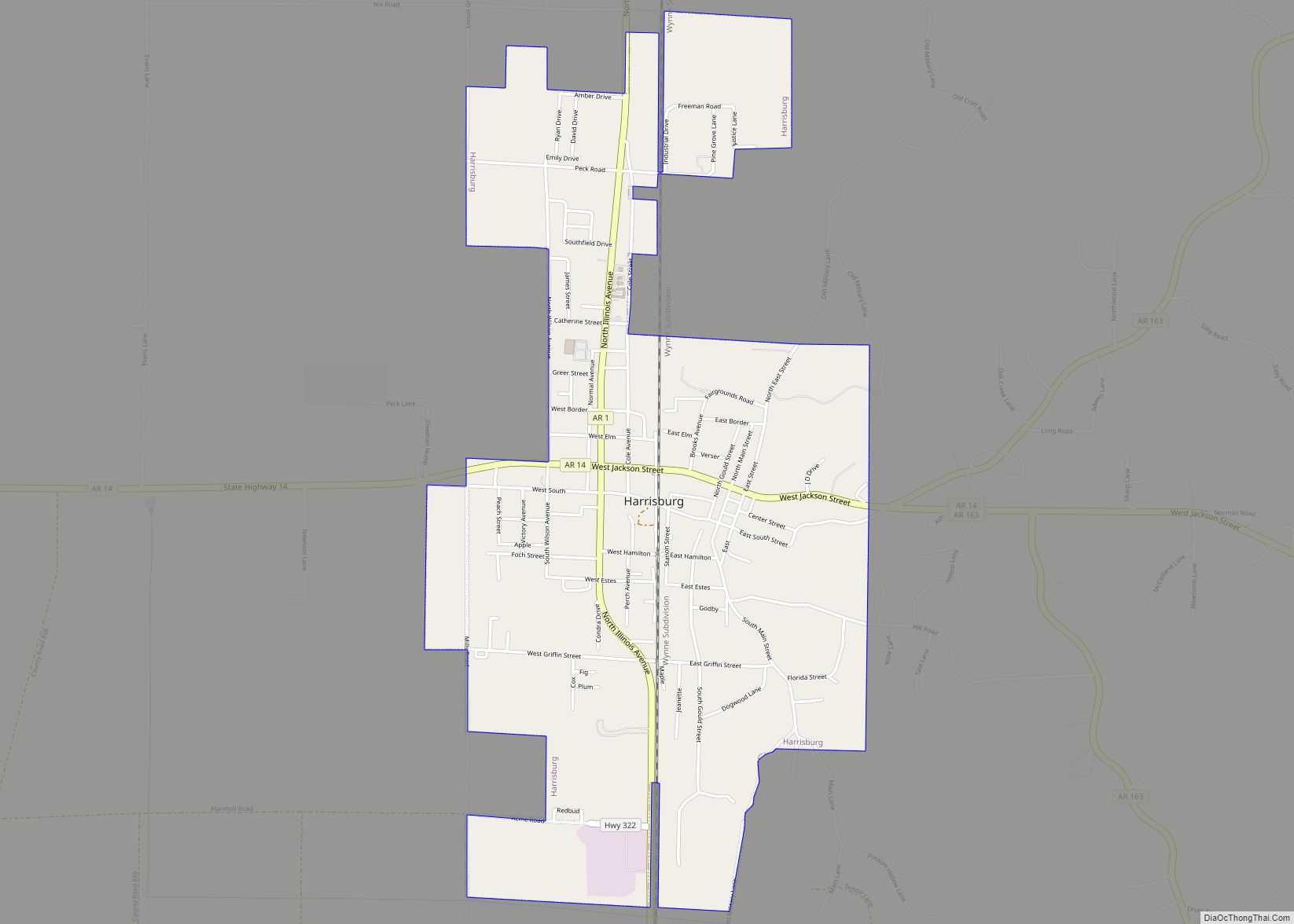
Harrisburg is a city in Poinsett County, Arkansas, United States. The population was 2,288 at the 2010 census. It is included in the Jonesboro, Arkansas Metropolitan Statistical Area. The city is the county seat of Poinsett County. Harrisburg city overview: Name: Harrisburg city LSAD Code: 25 LSAD Description: city (suffix) State: Arkansas County: Poinsett County … Read more

Map of Harrell town

Map of Harrell town

Harrell is a town in Calhoun County, Arkansas, United States. The population was 254 at the 2010 census. It is part of the Camden Micropolitan Statistical Area. Harrell town overview: Name: Harrell town LSAD Code: 43 LSAD Description: town (suffix) State: Arkansas County: Calhoun County Elevation: 203 ft (62 m) Total Area: 0.55 sq mi (1.43 km²) Land Area: 0.55 sq mi … Read more

Map of Hartford city, Arkansas

Map of Hartford city, Arkansas

Hartford is a city in Sebastian County, Arkansas, United States. It is part of the Fort Smith, Arkansas–Oklahoma Metropolitan Statistical Area. The population was 642 at the 2010 census. Clergyman James T. Draper, Jr., president of the Southern Baptist Convention from 1982 to 1984, was born in Hartford in 1935, where his father, James Draper, … Read more

Map of Haskell city

Map of Haskell city, Arkansas

Haskell is a city in Saline County, Arkansas, United States. The population was 3,990 at the 2010 census. It is part of the Little Rock–North Little Rock–Conway Metropolitan Statistical Area. Haskell city overview: Name: Haskell city LSAD Code: 25 LSAD Description: city (suffix) State: Arkansas County: Saline County Elevation: 308 ft (94 m) Total Area: 4.91 sq mi (12.73 km²) … Read more

Map of Hartman city

Map of Hartman city, Arkansas

Hartman is a city in Johnson County, Arkansas, United States. The population was 519 at the 2010 census. Hartman city overview: Name: Hartman city LSAD Code: 25 LSAD Description: city (suffix) State: Arkansas County: Johnson County Elevation: 492 ft (150 m) Total Area: 1.60 sq mi (4.15 km²) Land Area: 1.58 sq mi (4.09 km²) Water Area: 0.02 sq mi (0.06 km²) Total Population: 516 Population … Read more

Map of Haynes town

Map of Haynes town, Arkansas

Haynes is a town in Lee County, Arkansas, United States. The population was 150 at the 2010 census, down from 214 at the 2000 census. Haynes town overview: Name: Haynes town LSAD Code: 43 LSAD Description: town (suffix) State: Arkansas County: Lee County Elevation: 220 ft (70 m) Total Area: 0.35 sq mi (0.90 km²) Land Area: 0.35 sq mi (0.90 km²) Water … Read more

Map of Havana city

Map of Havana city, Arkansas

Havana is a city in northwest Yell County, Arkansas, United States. The population was 375 at the 2010 census. It is part of the Russellville Micropolitan Statistical Area. Arkansas Scenic State Highway 309 leads from Havana to the top of Mount Magazine, home of Arkansas’s newest State Park, and the highest peak in Arkansas. Havana … Read more

Map of Hatfield town

Map of Hatfield town, Arkansas

Hatfield is a town in western Polk County, Arkansas, United States. The population was 413 at the 2010 census. Hatfield town overview: Name: Hatfield town LSAD Code: 43 LSAD Description: town (suffix) State: Arkansas County: Polk County Elevation: 978 ft (298 m) Total Area: 1.36 sq mi (3.51 km²) Land Area: 1.33 sq mi (3.46 km²) Water Area: 0.02 sq mi (0.06 km²) Total Population: 345 … Read more

Map of Hector town

Map of Hector town, Arkansas

Hector is a town in Pope County, Arkansas, United States. The population was 450 at the 2010 census. It is part of the Russellville Micropolitan Statistical Area. Hector town overview: Name: Hector town LSAD Code: 43 LSAD Description: town (suffix) State: Arkansas County: Pope County Elevation: 722 ft (220 m) Total Area: 2.29 sq mi (5.93 km²) Land Area: 2.29 sq mi … Read more

Map of Heber Springs city

Map of Heber Springs city

Heber Springs is a city in and the county seat of Cleburne County, Arkansas, United States. The population was 7,165 at the 2010 census. Heber Springs city overview: Name: Heber Springs city LSAD Code: 25 LSAD Description: city (suffix) State: Arkansas County: Cleburne County Elevation: 341 ft (104 m) Total Area: 9.09 sq mi (23.55 km²) Land Area: 9.09 sq mi (23.55 km²) … Read more

Map of Hazen city

Map of Hazen city, Arkansas

Hazen is a city in Prairie County, Arkansas, United States. The population was 1,468 at the 2010 census. Hazen city overview: Name: Hazen city LSAD Code: 25 LSAD Description: city (suffix) State: Arkansas County: Prairie County Elevation: 230 ft (70 m) Total Area: 3.52 sq mi (9.11 km²) Land Area: 3.52 sq mi (9.11 km²) Water Area: 0.00 sq mi (0.00 km²) Total Population: 1,481 Population … Read more

Map of Hermitage city

Map of Hermitage city, Arkansas

Hermitage is a city in Bradley County, Arkansas, United States. The United States Census Bureau estimated the population to be 830 as of the 2010 census. Jeff Wardlaw, the District 8 member of the Arkansas House of Representatives, operates Wardlaw Brothers Farms, Inc., in Hermitage. Hermitage city overview: Name: Hermitage city LSAD Code: 25 LSAD … Read more