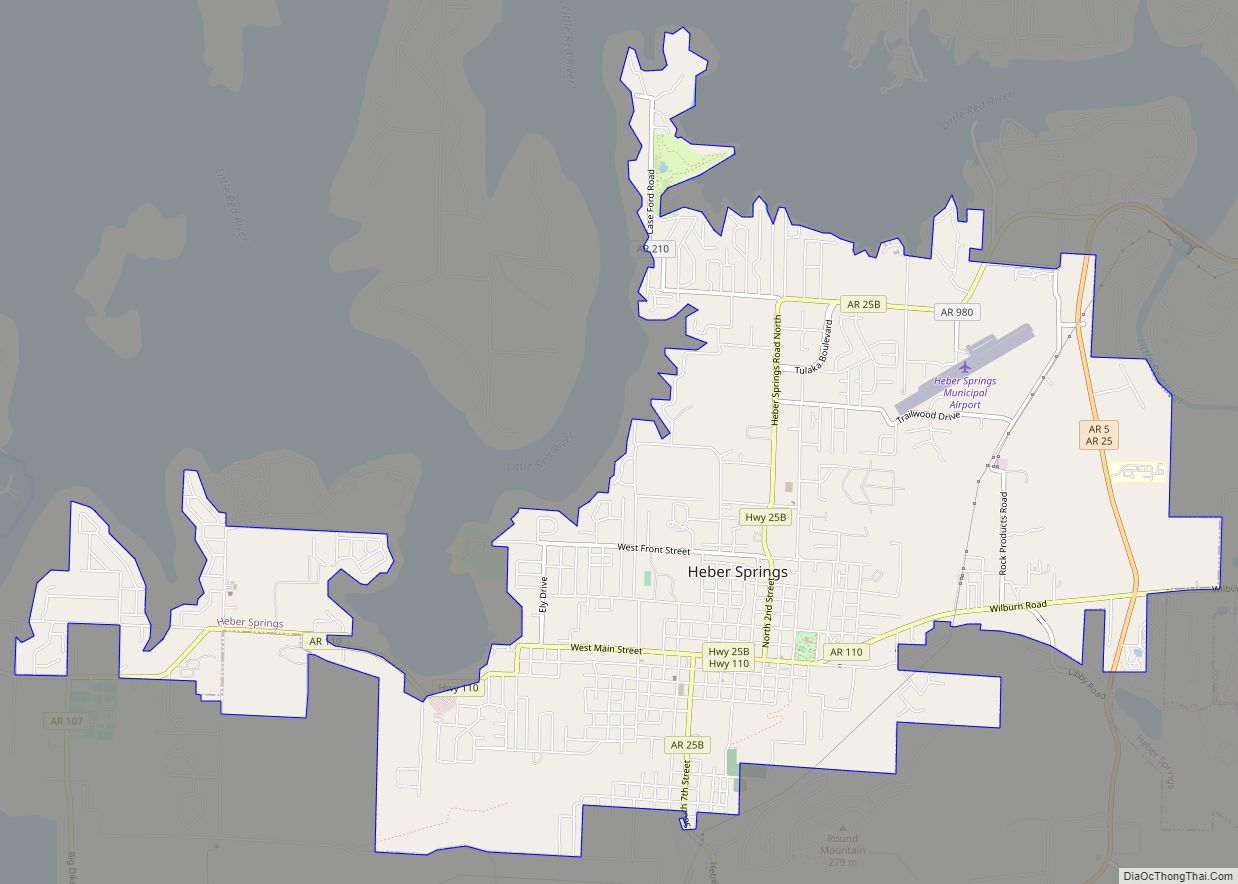
Heber Springs is a city in and the county seat of Cleburne County, Arkansas, United States. The population was 7,165 at the 2010 census.
| Name: | Heber Springs city |
|---|---|
| LSAD Code: | 25 |
| LSAD Description: | city (suffix) |
| State: | Arkansas |
| County: | Cleburne County |
| Elevation: | 341 ft (104 m) |
| Total Area: | 9.09 sq mi (23.55 km²) |
| Land Area: | 9.09 sq mi (23.55 km²) |
| Water Area: | 0.00 sq mi (0.00 km²) |
| Total Population: | 6,969 |
| Population Density: | 766.33/sq mi (295.87/km²) |
| ZIP code: | 72543, 72545 |
| Area code: | 501 |
| FIPS code: | 0531090 |
| GNISfeature ID: | 0077155 |
| Website: | cityofhebersprings.com |
Online Interactive Map
Click on ![]() to view map in "full screen" mode.
to view map in "full screen" mode.
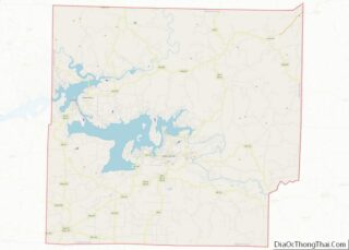
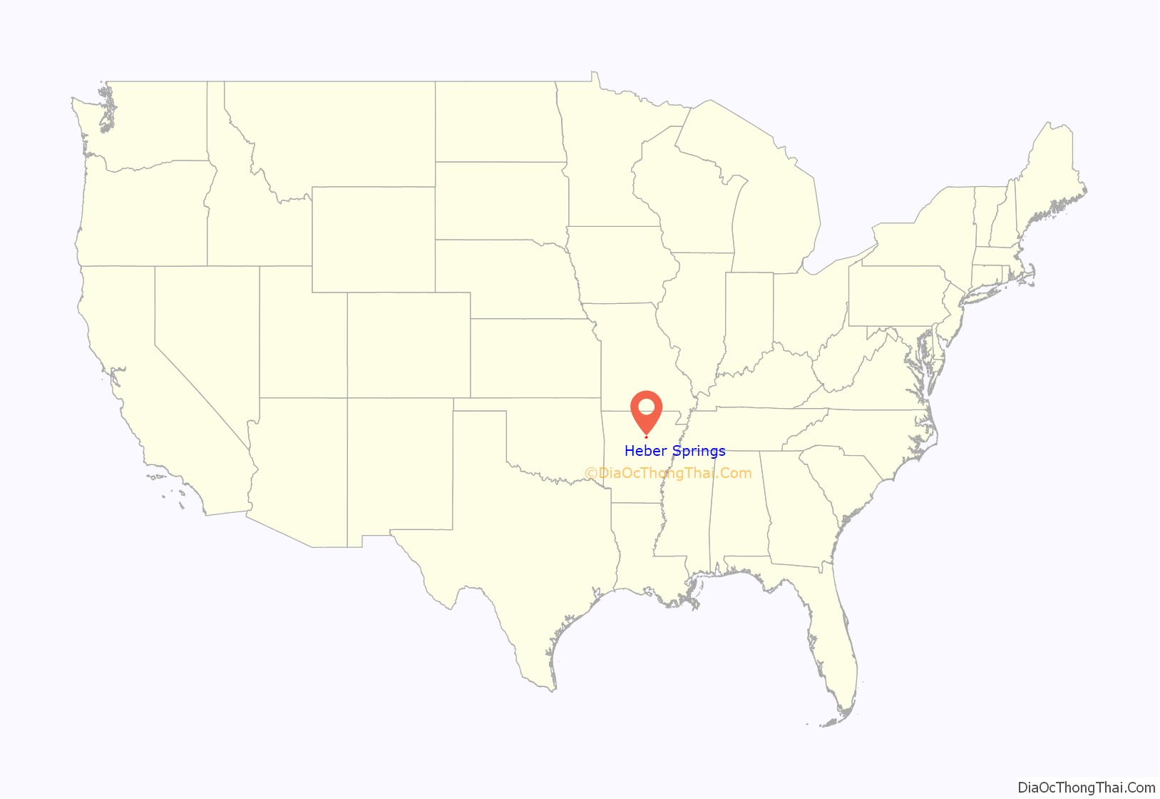
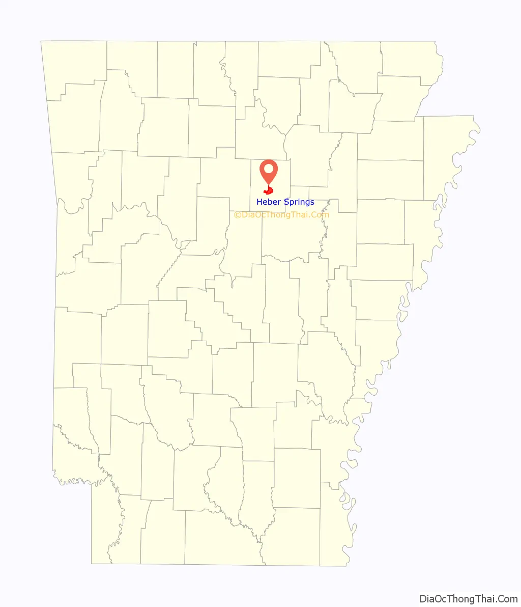
Heber Springs location map. Where is Heber Springs city?
History
Initially named Sugar Loaf, Heber Springs was founded by Max Frauenthal. In 1881, Frauenthal bought land in Van Buren County from John T. Jones. He founded the Sugar Loaf Springs Company and plotted a town site which was incorporated as “Sugar Loaf” on October 4, 1882. In 1883, Frauenthal donated land for the courthouse square, built a frame courthouse to be used by the soon-to-be-created Cleburne County, and donated the land for Spring Park, thus securing the county seat for the new town. Frauenthal chose the name Cleburne County to honor Confederate General Patrick Cleburne, who was killed in the Battle of Franklin in 1864. In 1910, Sugar Loaf’s name was changed to Heber Springs in order to avoid confusion with another town with a post office named Sugar Loaf. Frauenthal chose the new name to honor John T. Jones’s son, Dr. Heber Jones, who was a prominent physician in Memphis, Tennessee, where Frauenthal had since moved.
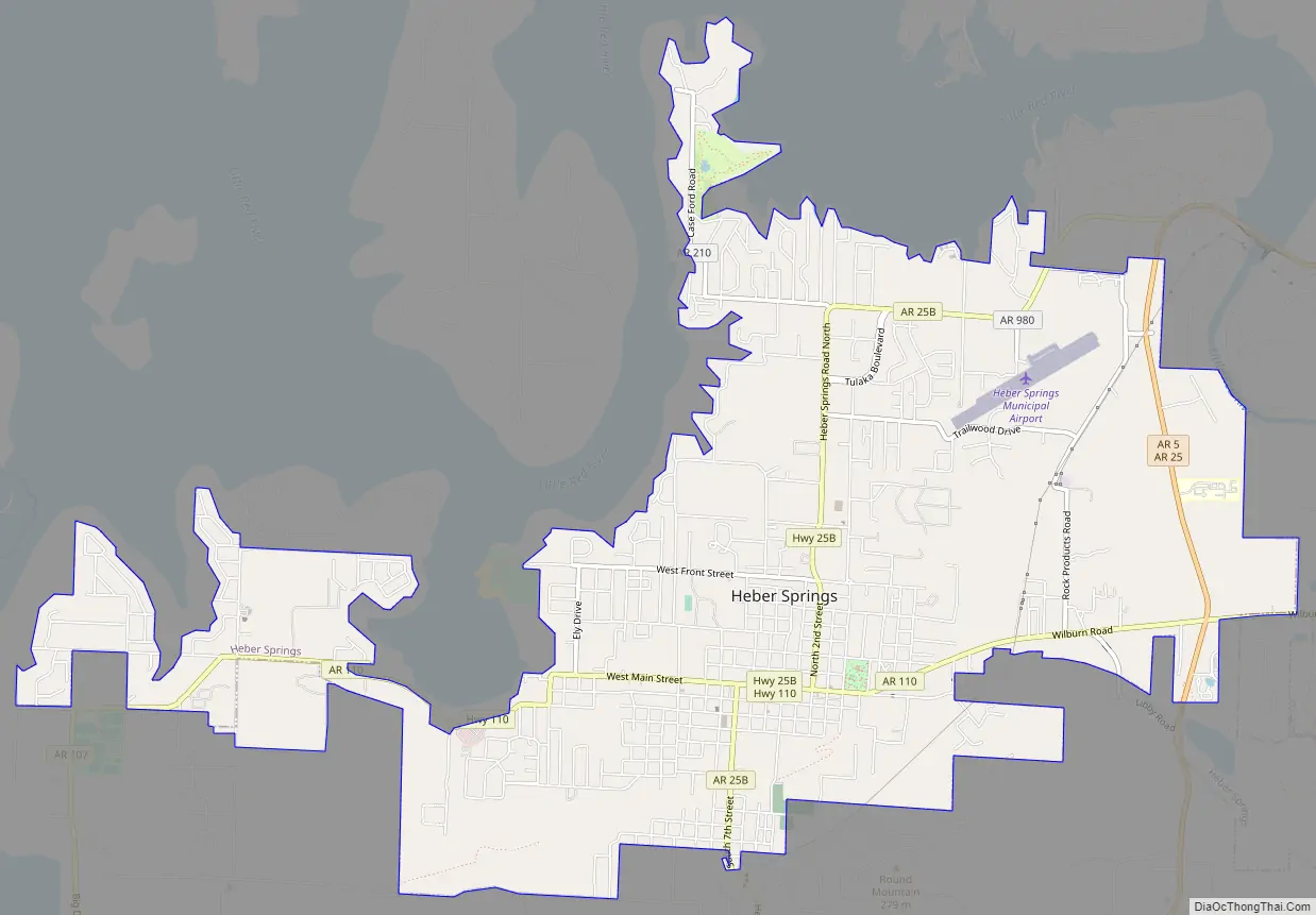
Heber Springs Road Map
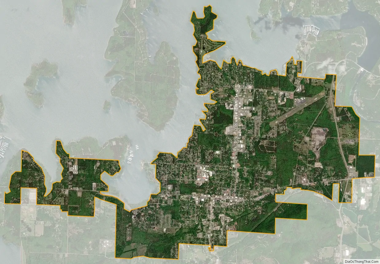
Heber Springs city Satellite Map
Geography
Heber Springs is located near the center of Cleburne County at 35°29′40″N 92°2′21″W / 35.49444°N 92.03917°W / 35.49444; -92.03917 (35.494329, −92.039168). Arkansas Highway 5 bypasses the center of the city to the east, leading north 40 miles (64 km) to Mountain View and south 62 miles (100 km) to Little Rock (via U.S. Route 67). Searcy is 28 miles (45 km) to the southeast via Highway 16.
According to the United States Census Bureau, the city has a total area of 8.4 square miles (21.7 km), all land. The city was named for a series of natural springs that are located on the east side of town on Main Street. Greers Ferry Lake and the Little Red River are located just north of the city, where rainbow trout are stocked in the Little Red and can be fished below the Greers Ferry Dam. The lake is a major tourism draw for swimming, boating, and personal watercraft, complemented by the Little Red River and Sugarloaf Mountain along the eastern portion of the city.
See also
Map of Arkansas State and its subdivision:- Arkansas
- Ashley
- Baxter
- Benton
- Boone
- Bradley
- Calhoun
- Carroll
- Chicot
- Clark
- Clay
- Cleburne
- Cleveland
- Columbia
- Conway
- Craighead
- Crawford
- Crittenden
- Cross
- Dallas
- Desha
- Drew
- Faulkner
- Franklin
- Fulton
- Garland
- Grant
- Greene
- Hempstead
- Hot Spring
- Howard
- Independence
- Izard
- Jackson
- Jefferson
- Johnson
- Lafayette
- Lawrence
- Lee
- Lincoln
- Little River
- Logan
- Lonoke
- Madison
- Marion
- Miller
- Mississippi
- Monroe
- Montgomery
- Nevada
- Newton
- Ouachita
- Perry
- Phillips
- Pike
- Poinsett
- Polk
- Pope
- Prairie
- Pulaski
- Randolph
- Saint Francis
- Saline
- Scott
- Searcy
- Sebastian
- Sevier
- Sharp
- Stone
- Union
- Van Buren
- Washington
- White
- Woodruff
- Yell
- Alabama
- Alaska
- Arizona
- Arkansas
- California
- Colorado
- Connecticut
- Delaware
- District of Columbia
- Florida
- Georgia
- Hawaii
- Idaho
- Illinois
- Indiana
- Iowa
- Kansas
- Kentucky
- Louisiana
- Maine
- Maryland
- Massachusetts
- Michigan
- Minnesota
- Mississippi
- Missouri
- Montana
- Nebraska
- Nevada
- New Hampshire
- New Jersey
- New Mexico
- New York
- North Carolina
- North Dakota
- Ohio
- Oklahoma
- Oregon
- Pennsylvania
- Rhode Island
- South Carolina
- South Dakota
- Tennessee
- Texas
- Utah
- Vermont
- Virginia
- Washington
- West Virginia
- Wisconsin
- Wyoming