Map of St. Charles town

Map of St. Charles town, Arkansas

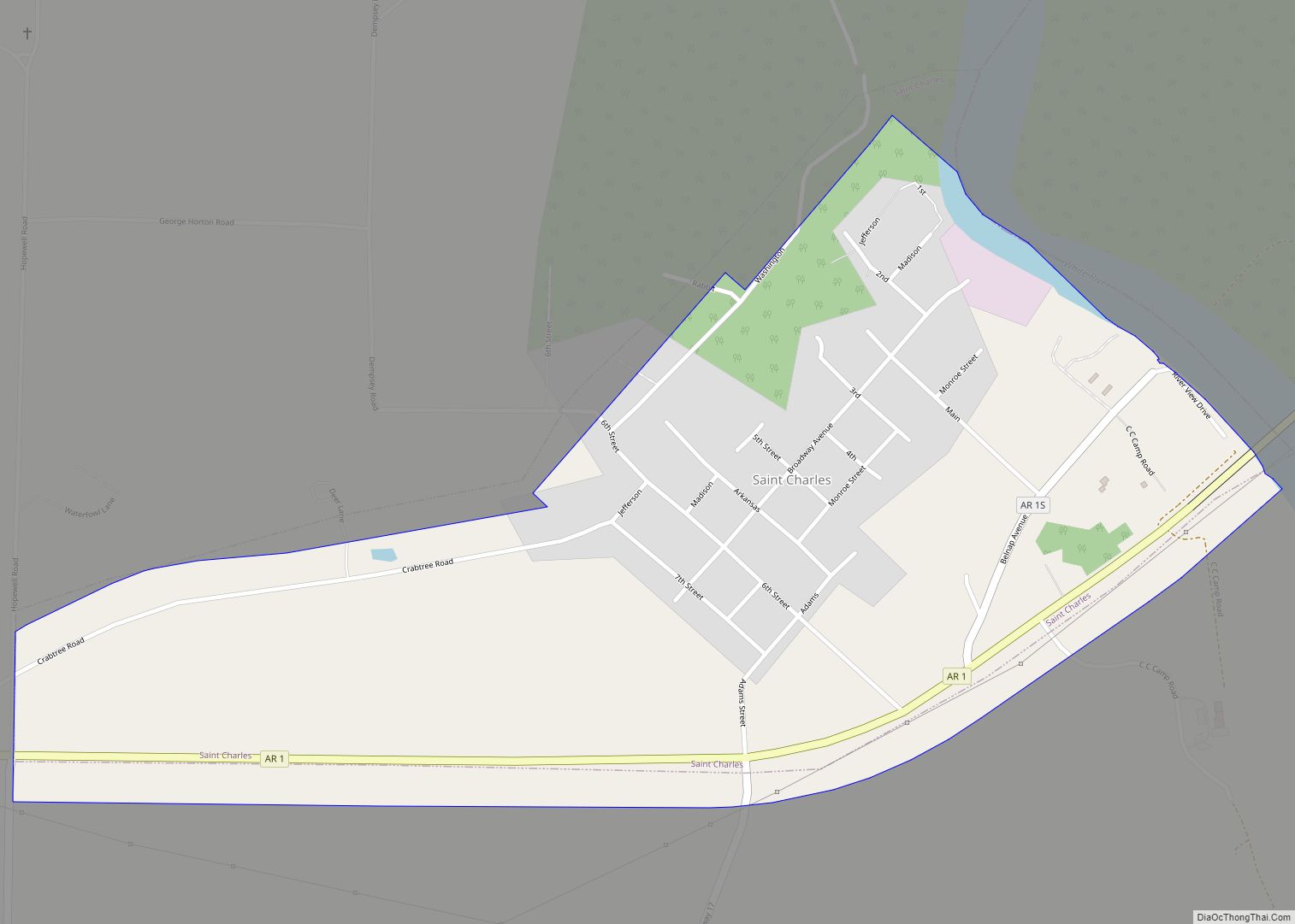
St. Charles is a town in Arkansas County, Arkansas, United States. The population was 230 at the 2010 census. The small town has been at the center of various events in Arkansas’ history. St. Charles is best known for the Battle of Saint Charles, which was fought on the White River, which borders the town. … Read more

Map of Springtown town

Map of Springtown town, Arkansas

Springtown is a town in Benton County, Arkansas, United States. The population was 83 at the 2020 census. It is part of the Northwest Arkansas region. Springtown town overview: Name: Springtown town LSAD Code: 43 LSAD Description: town (suffix) State: Arkansas County: Benton County Elevation: 1,207 ft (368 m) Total Area: 0.54 sq mi (1.40 km²) Land Area: 0.54 sq mi (1.40 km²) … Read more

Map of Stamps city

Map of Stamps city

Stamps is a city in Lafayette County, Arkansas, United States. The population was 1,693 at the 2010 census, down from 2,131 at the 2000 census. Stamps city overview: Name: Stamps city LSAD Code: 25 LSAD Description: city (suffix) State: Arkansas County: Lafayette County Elevation: 308 ft (94 m) Total Area: 3.15 sq mi (8.17 km²) Land Area: 3.05 sq mi (7.91 km²) Water … Read more

Map of St. Paul town, Arkansas

Map of St. Paul town, Arkansas

St. Paul is a town in Madison County, Arkansas, United States. The population was 111 at the 2020 census. It is on the edge of the Northwest Arkansas region. St. Paul was platted in 1887 when the railroad was extended to that point. St. Paul town overview: Name: St. Paul town LSAD Code: 43 LSAD … Read more

Map of St. Joe town

Map of St. Joe town, Arkansas

St. Joe or Saint Joe is a town in Searcy County, Arkansas, United States. The population was 132 at the 2010 census. St. Joe town overview: Name: St. Joe town LSAD Code: 43 LSAD Description: town (suffix) State: Arkansas County: Searcy County Elevation: 778 ft (237 m) Total Area: 1.25 sq mi (3.23 km²) Land Area: 1.24 sq mi (3.22 km²) Water Area: … Read more

Map of Stephens city

Map of Stephens city

Stephens is a city in Ouachita County, Arkansas, United States. The population was 891 at the 2010 census. It is part of the Camden Micropolitan Statistical Area. Stephens was incorporated in 1889. Stephens city overview: Name: Stephens city LSAD Code: 25 LSAD Description: city (suffix) State: Arkansas County: Ouachita County Elevation: 249 ft (76 m) Total Area: … Read more

Map of Staves CDP

Map of Staves CDP

Staves is a census-designated place in Cleveland County, Arkansas, United States. Per the 2020 census, the population was 133. Staves was known locally as the “Y” Community, because State Route 212 created a “Y” where it intersected State Route 35, with connectors leading both north and south from State Route 212’s east–west direction. The road … Read more

Map of Star City city

Map of Star City, Arkansas

Star City is a city in, and the county seat of, Lincoln County, Arkansas, United States. Incorporated in 1876, the city is located between the Arkansas Delta and Arkansas Timberlands. With an economy historically based on agriculture, today Star City has developed a diverse economy based on both industry and agriculture. As of the 2010 … Read more

Map of Strong city

Map of Strong city, Arkansas

Strong is a city in Union County, Arkansas, United States. The population was 558 at the 2010 census. Strong city overview: Name: Strong city LSAD Code: 25 LSAD Description: city (suffix) State: Arkansas County: Union County Elevation: 98 ft (30 m) Total Area: 1.60 sq mi (4.14 km²) Land Area: 1.60 sq mi (4.14 km²) Water Area: 0.00 sq mi (0.00 km²) Total Population: 410 Population … Read more

Map of Strawberry town

Map of Strawberry town, Arkansas

Strawberry is a town in Lawrence County, Arkansas, United States. The population was 302 at the 2010 census. Strawberry town overview: Name: Strawberry town LSAD Code: 43 LSAD Description: town (suffix) State: Arkansas County: Lawrence County Elevation: 341 ft (104 m) Total Area: 2.34 sq mi (6.07 km²) Land Area: 2.34 sq mi (6.07 km²) Water Area: 0.00 sq mi (0.00 km²) Total Population: 268 Population … Read more

Map of Stuttgart city

Map of Stuttgart city

Stuttgart is a city in and the county seat of the northern district of Arkansas County, Arkansas, United States. Established by German settlers, it was named for its larger German counterpart. Known as the “Rice and Duck Capital of the World”, the city is an international destination for waterfowl hunting along the Mississippi Flyway. Stuttgart … Read more

Map of Sulphur Rock town

Map of Sulphur Rock town

Sulphur Rock is a town in Independence County, Arkansas, United States. The population was 456 at the 2010 census. Sulphur Rock town overview: Name: Sulphur Rock town LSAD Code: 43 LSAD Description: town (suffix) State: Arkansas County: Independence County Elevation: 325 ft (99 m) Total Area: 1.25 sq mi (3.24 km²) Land Area: 1.25 sq mi (3.24 km²) Water Area: 0.00 sq mi (0.00 km²) Total … Read more