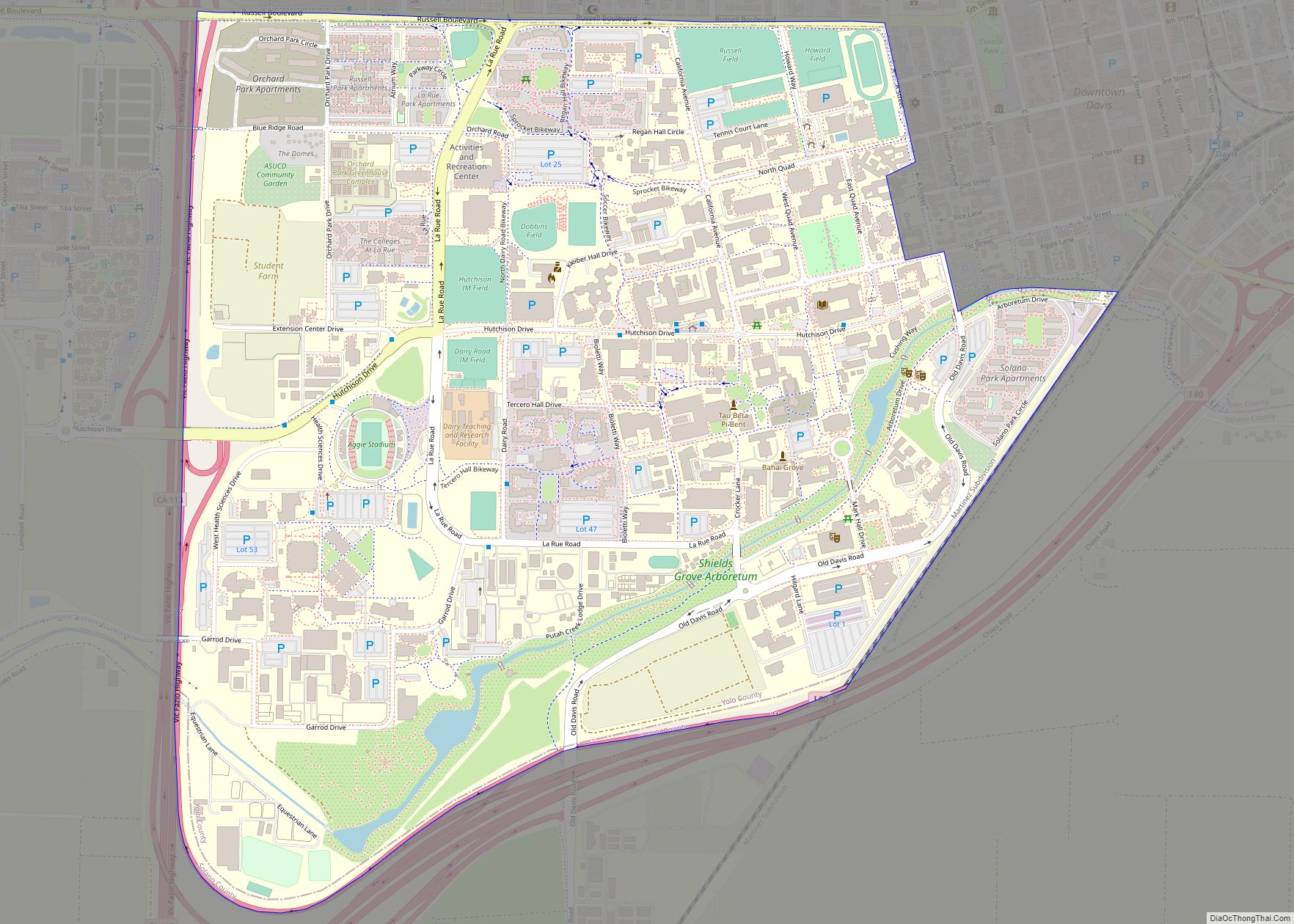
University of California-Davis CDP overview: Name: University of California-Davis CDP LSAD Code: 57 LSAD Description: CDP (suffix) State: California County: Yolo County FIPS code: 0681302 Online Interactive Map University of California-Davis online map. Source: Basemap layers from Google Map, Open Street Map (OSM), Arcgisonline, Wmflabs. Boundary Data from Database of Global Administrative Areas. University of ... Read more
California Cities and Places
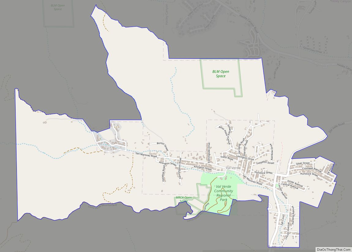
Val Verde (pronunciation) (Spanish for “Green Valley”) is an unincorporated community in the southeastern Topatopa Mountains foothills, and in northwestern Los Angeles County, California. The unincorporated community of Valencia and the city of Santa Clarita are east of the community. Its population was 2,468 at the 2010 census, up from 1,472 at the 2000 census. ... Read more
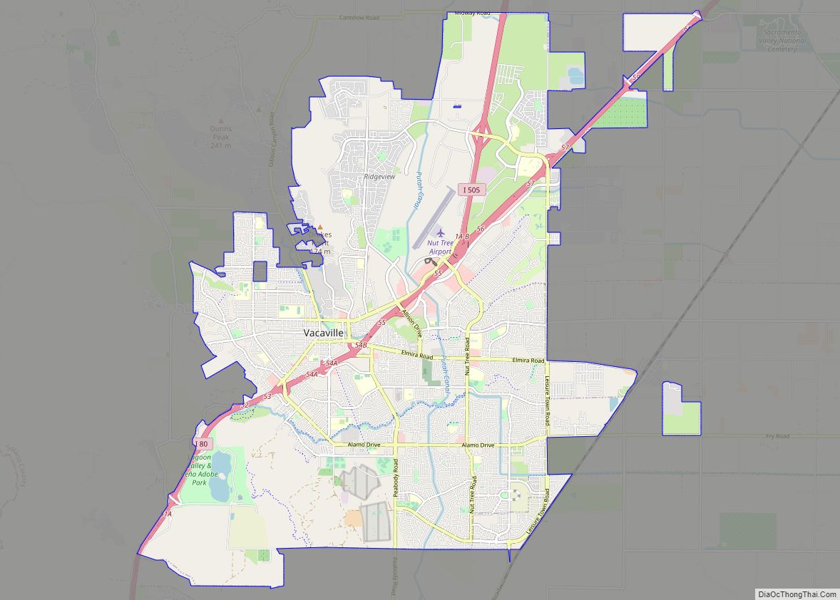
Vacaville is a city located in Solano County, California, within the North Bay subregion of the San Francisco Bay Area. Sitting about 35 miles (56 km) from Sacramento and 55 miles (89 km) from San Francisco, it is on the edge of the Sacramento Valley in Northern California. The city was founded in 1851 and is named ... Read more
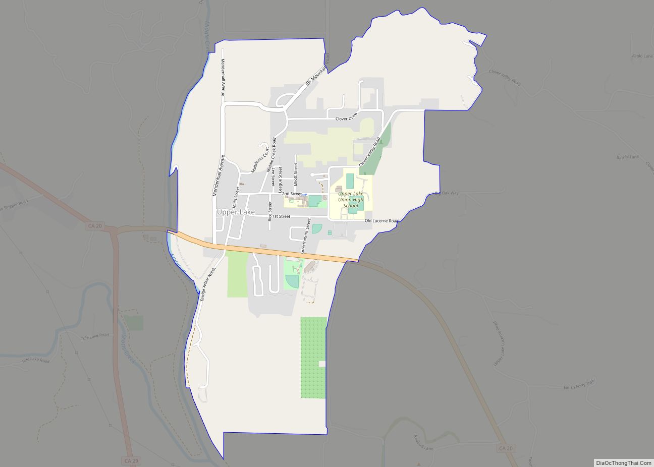
Upper Lake is a census-designated place (CDP) in Lake County, California, United States. Upper Lake is located 8 miles (13 km) north of Lakeport, at an elevation of 1,345 feet (410 m). The population was 1,052 at the 2010 census, up from 989 at the 2000 census. The Habematolel Pomo of Upper Lake are headquartered here. Upper ... Read more
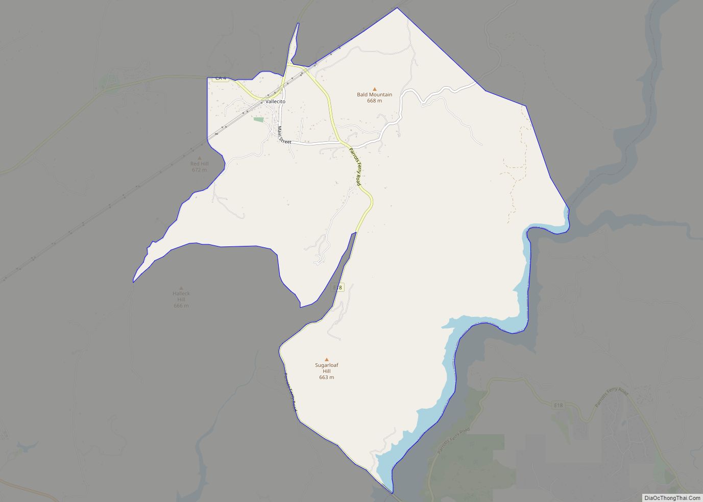
Vallecito (Spanish for “Little Valley”) is a census-designated place (CDP) in Calaveras County, California, United States. The population was 442 at the 2010 census, up from 427 at the 2000 census. The town is registered as California Historical Landmark #273. Nearby is Moaning Cavern, the largest cave chamber in California, which the Miwok Indians used ... Read more
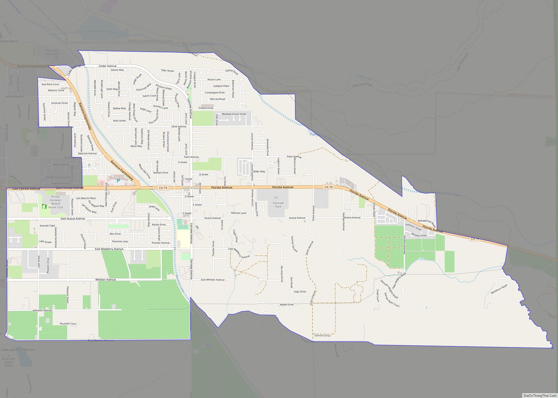
Valle Vista (Spanish for “View Valley”) is a census-designated place (CDP) in Riverside County, California, United States and is located in the San Jacinto Valley. Some areas of Valle Vista are considered to be part of both unincorporated San Jacinto and Hemet but have yet to be incorporated. The population was 11,036 at the 2010 ... Read more
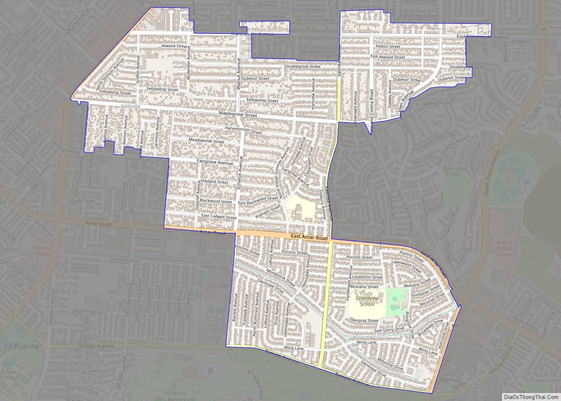
Valinda is a census-designated place (CDP) in the San Gabriel Valley, in Los Angeles County, California, in the United States. At the 2010 census, the population was 22,822, up from 21,776 at the 2000 census. Valinda CDP overview: Name: Valinda CDP LSAD Code: 57 LSAD Description: CDP (suffix) State: California County: Los Angeles County Elevation: ... Read more
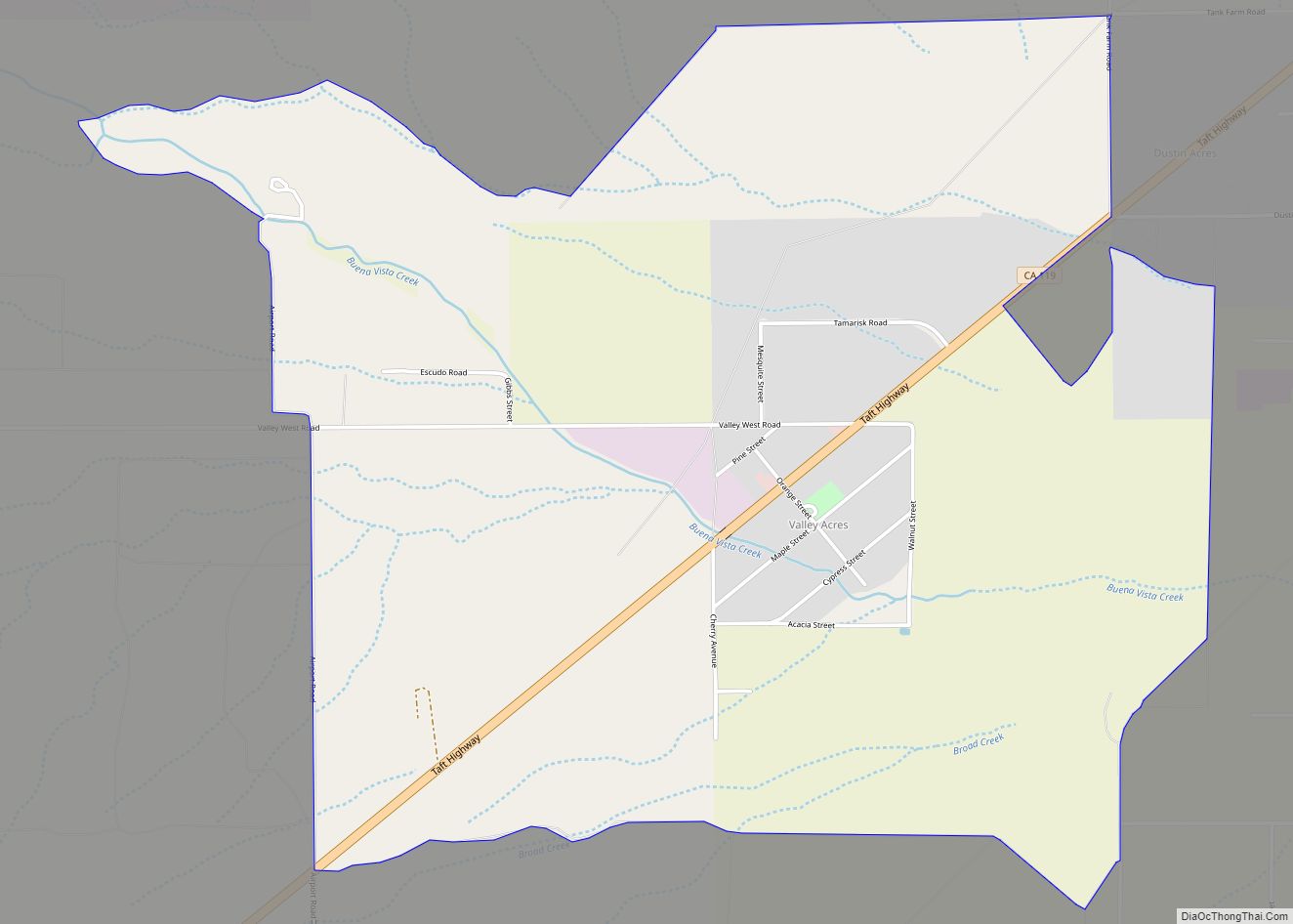
Valley Acres is a census-designated place (CDP) in Kern County, California, United States. Valley Acres is located 5.2 miles (8.4 km) north-northeast of Taft, at an elevation of 420 feet (128.02 m). The population was 527 at the 2010 census, up from 512 at the 2000 census. Valley Acres CDP overview: Name: Valley Acres CDP LSAD Code: ... Read more
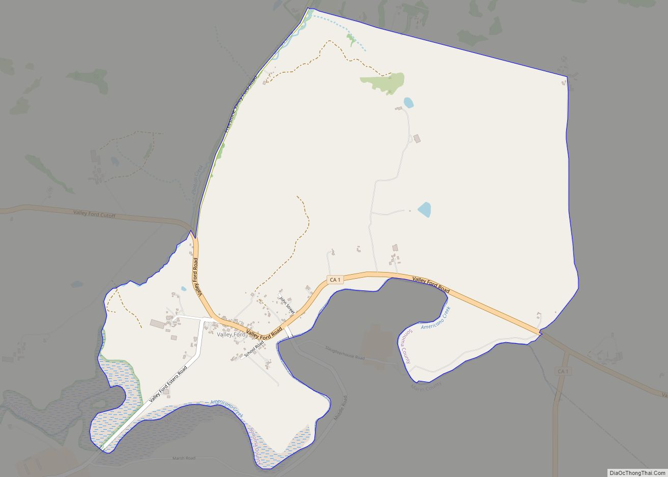
Valley Ford is an unincorporated community and census-designated place (CDP) in western Sonoma County, California, United States. It is located on State Route 1 north of San Francisco. Like all of Sonoma County, Valley Ford is included in both the San Francisco Bay Area and the Redwood Empire. The village lies just north of Americano ... Read more
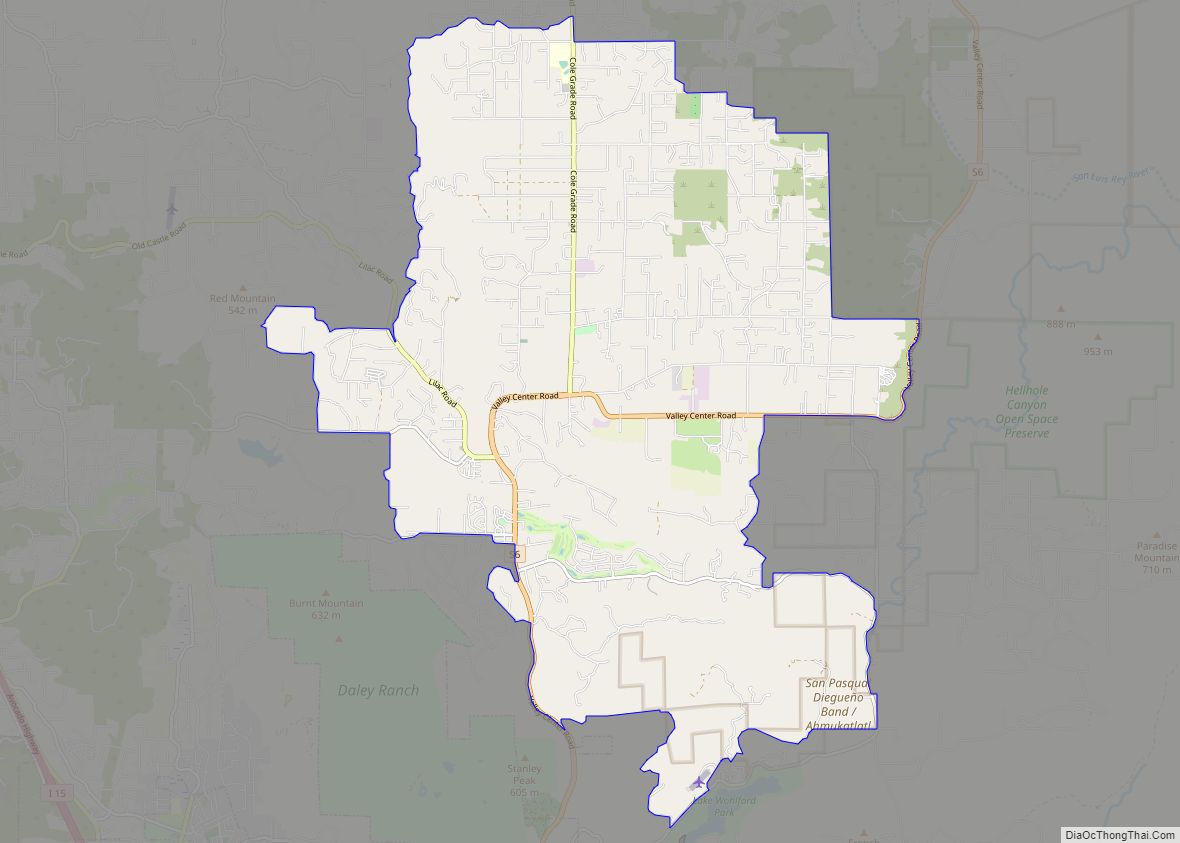
Valley Center is a census-designated place (CDP) in northern San Diego County, California. The population was 9,277 at the 2010 census. Valley Center CDP overview: Name: Valley Center CDP LSAD Code: 57 LSAD Description: CDP (suffix) State: California County: San Diego County Elevation: 1,312 ft (400 m) Total Area: 27.426 sq mi (71.033 km²) Land Area: 27.426 sq mi (71.033 km²) Water Area: ... Read more
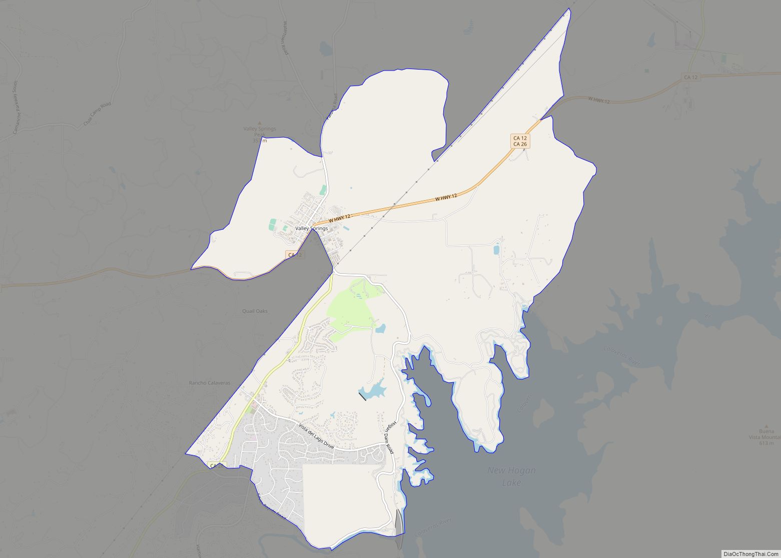
Valley Springs (formerly, Spring Valley and Valley Spring) is a census-designated place (CDP) in Calaveras County, California, United States, in the foothills of the Sierra Nevada Mountain Range. Valley Springs is registered as a California Historical Landmark, number 251. Valley Springs CDP overview: Name: Valley Springs CDP LSAD Code: 57 LSAD Description: CDP (suffix) State: ... Read more
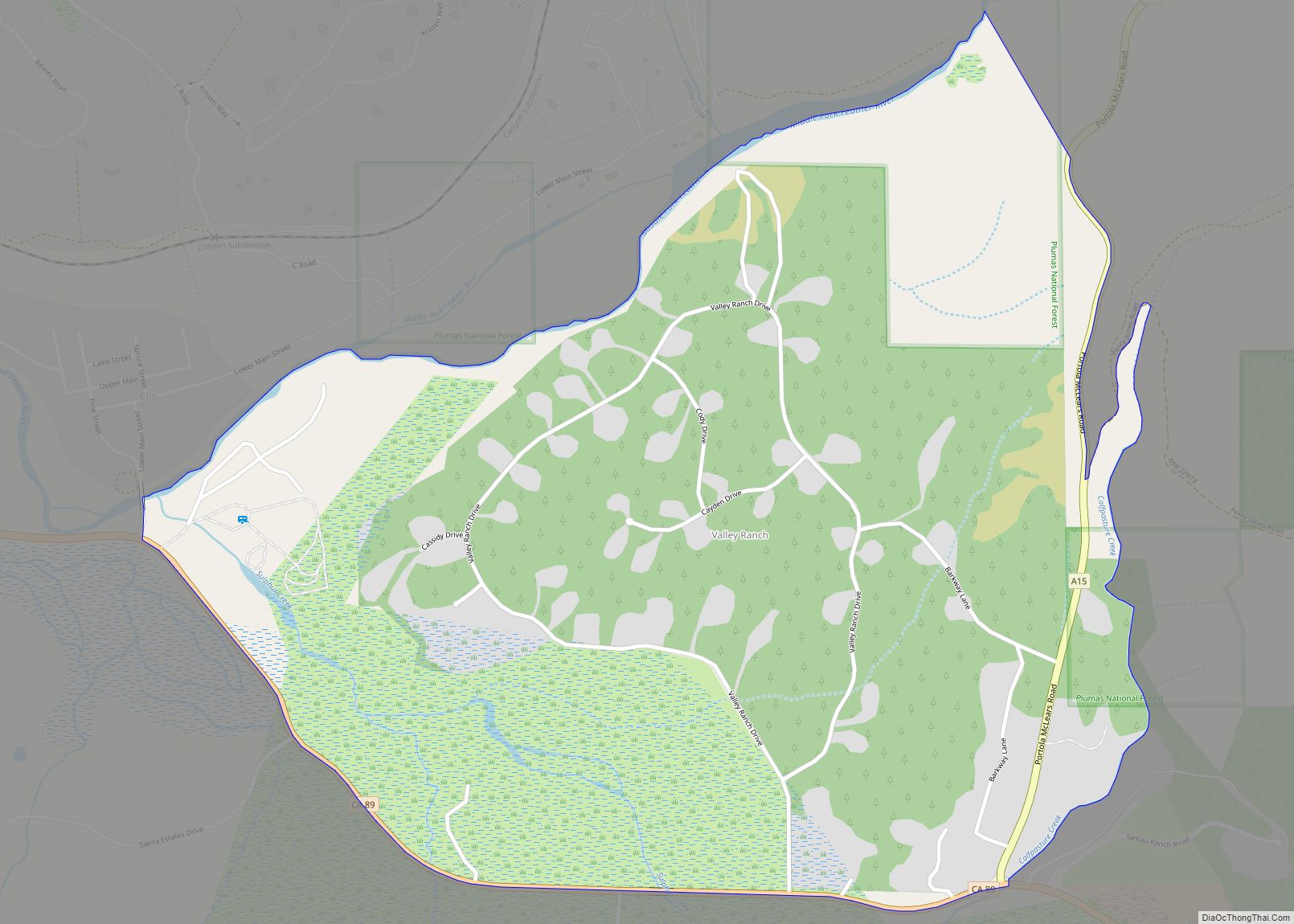
Valley Ranch is a census-designated place in Plumas County, California, United States. The population was 109 at the 2010 census, up from 92 at the 2000 census. Valley Ranch CDP overview: Name: Valley Ranch CDP LSAD Code: 57 LSAD Description: CDP (suffix) State: California County: Plumas County Elevation: 4,436 ft (1,352 m) Total Area: 1.137 sq mi (2.945 km²) Land ... Read more
