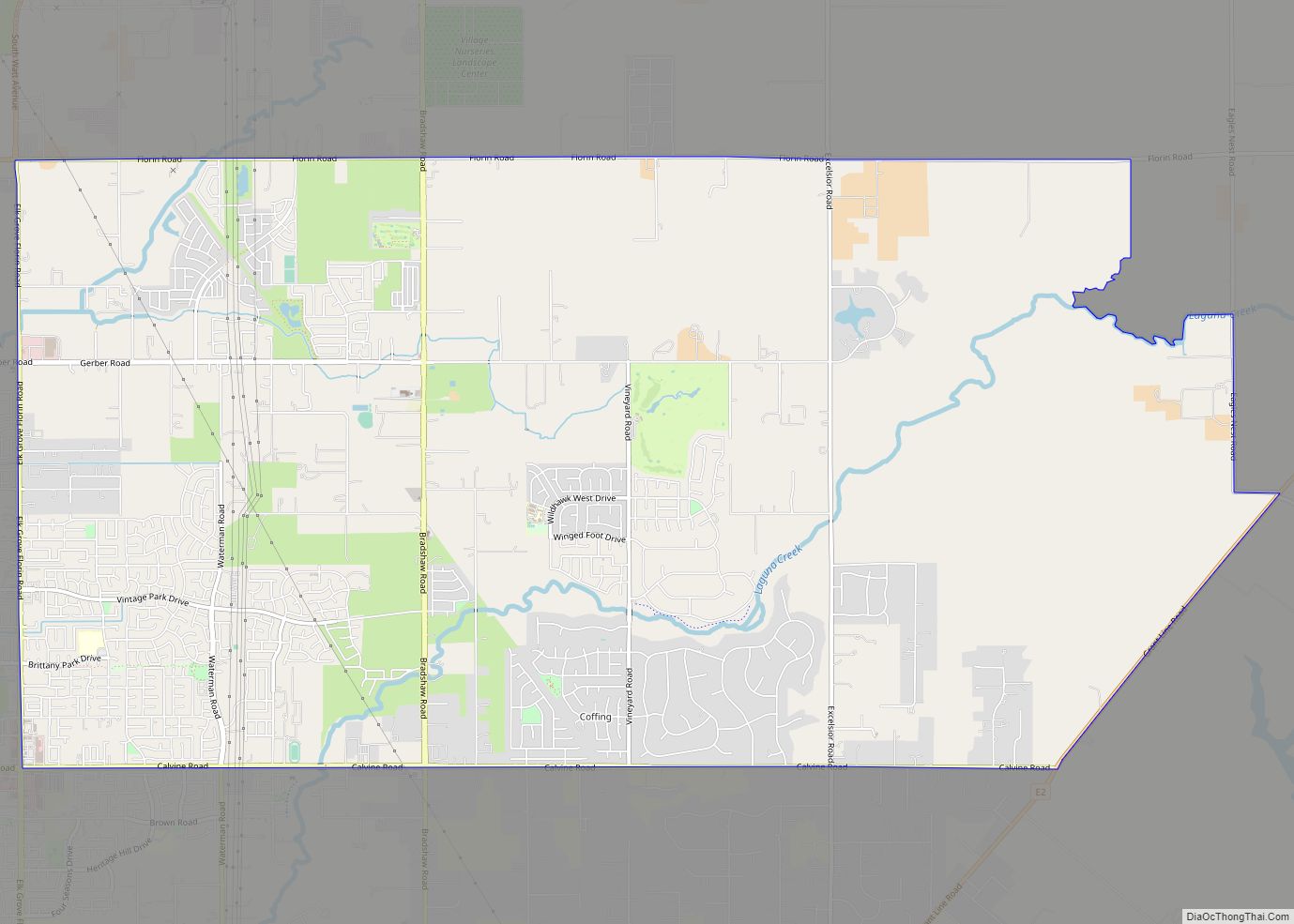
Vineyard is a census-designated place (CDP) in Sacramento County, California, United States. It is part of the Sacramento–Arden-Arcade–Roseville Metropolitan Statistical Area. The population was 24,836 at the 2010 census, up from 10,109 at the 2000 census. Along with more than doubling its population in just one decade, Vineyard also grew to become one of Greater ... Read more