Walnut Creek is a city in Contra Costa County, California, United States, located in the East Bay region of the San Francisco Bay Area, about 16 miles (26 kilometers) east of the city of Oakland. With a total population of 70,127 per the 2020 census, Walnut Creek serves as a vibrant hub for its neighboring cities because of its location at the junction of the highways from Sacramento and San Jose (I-680) and San Francisco/Oakland (SR-24), and its accessibility by BART. Its active downtown neighborhood features hundred-year-old buildings and extensive high-end retail establishments. The city shares its borders with Clayton, Lafayette, Alamo, Pleasant Hill, and Concord.
| Name: | Walnut Creek city |
|---|---|
| LSAD Code: | 25 |
| LSAD Description: | city (suffix) |
| State: | California |
| County: | Contra Costa County |
| Incorporated: | October 21, 1914 |
| Elevation: | 131 ft (40 m) |
| Total Area: | 19.77 sq mi (51.21 km²) |
| Land Area: | 19.76 sq mi (51.18 km²) |
| Water Area: | 0.01 sq mi (0.03 km²) 0.06% |
| Total Population: | 70,127 |
| Population Density: | 3,500/sq mi (1,400/km²) |
| ZIP code: | 94595–94598 |
| Area code: | 925 |
| FIPS code: | 0683346 |
Online Interactive Map
Click on ![]() to view map in "full screen" mode.
to view map in "full screen" mode.
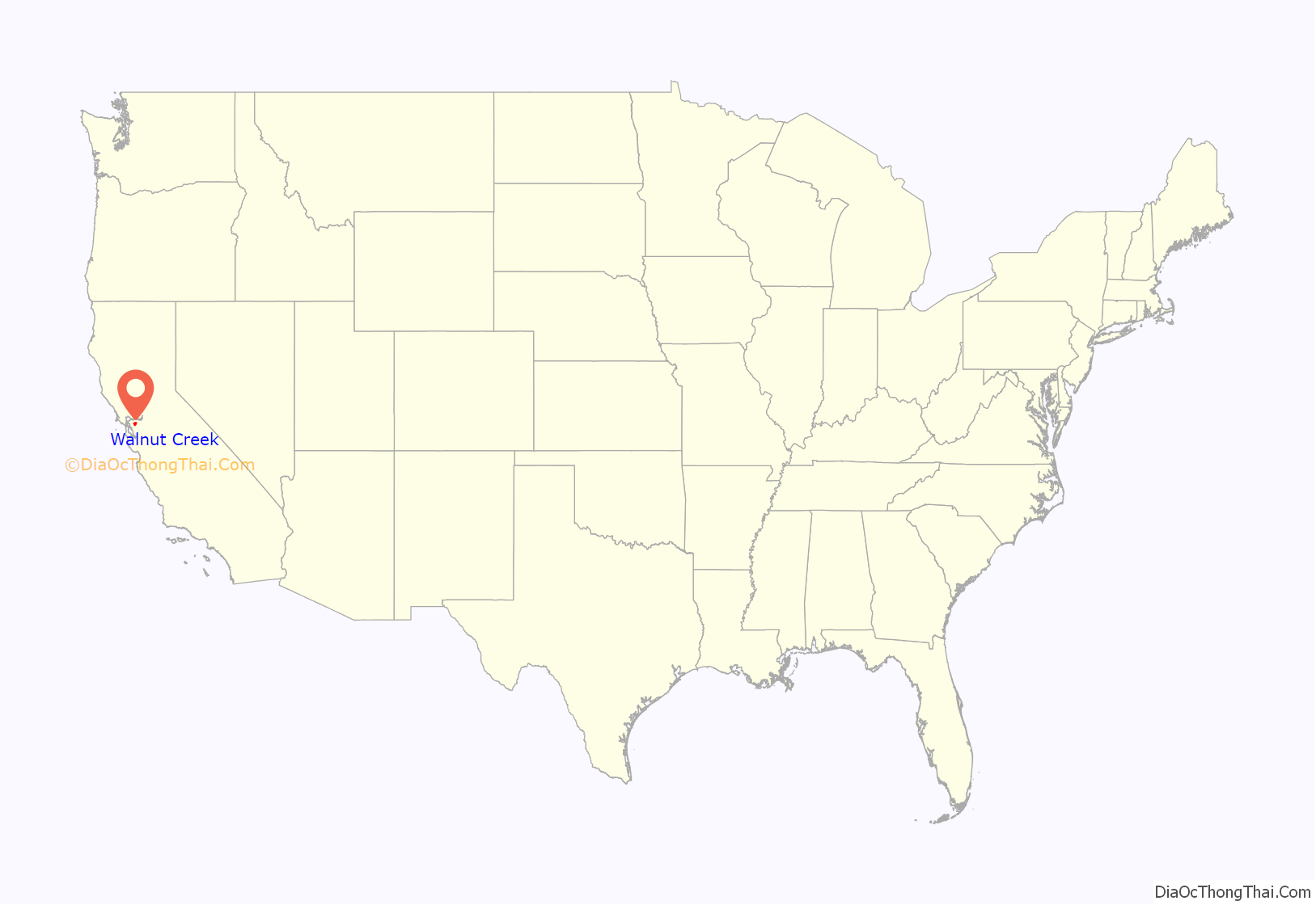
Walnut Creek location map. Where is Walnut Creek city?

History
There are three bands of Bay Miwok Native Americans associated with the area of Walnut Creek (the stream for which the city is named): the Saclan, whose territory extended through the hills east of present-day cities of Oakland, Rossmoor, Lafayette, Moraga and Walnut Creek; the Volvon (also spelled Bolbon, Wolwon or Zuicun), who were near Mt. Diablo; and the Tactan, located on the San Ramon Creek in present-day Danville and Walnut Creek.
The city of Walnut Creek has developed within the earlier area of four extensive Mexican land grants. One of these land grants – measuring 18,000 acres (73 km) – belonged to Juana Sanchez de Pacheco. The grant was called Rancho Arroyo de Las Nueces y Bolbones, named after the principal waterway, Arroyo de las Nueces (Walnut Creek in English), and for the local group of Volvon indigenous Americans (also known as Bolbones in Spanish). The Arroyo de las Nueces was named for the local species of walnut tree, the California Walnut. The two grandsons of Sanchez de Pacheco inherited the thousands of acres of land. One, Ygnacio Sibrian, built the first roofed home in the valley in about 1850.
As settlers from the United States arrived following US annexation of California after victory in the Mexican–American War, a small settlement called “The Corners” emerged. It was named for the junction where roads met from the settlements of Pacheco and Lafayette. The intersection of Mt. Diablo Boulevard and North Main Street is now at this site. The first town settler was William Slusher, who built a dwelling on the bank of Walnut Creek, first called “Nuts Creek” by Americans in 1849. In 1855, Milo Hough of Lafayette built the hotel named “Walnut Creek House” in The Corners. A blacksmith shop and a store were soon established by settlers. In 1850 Hiram Penniman laid out the town site and realigned Main Street to what it is today. (Penniman also developed Shadelands Ranch.)
In December 1862 a United States Post Office was established here, named “Walnut Creek”. Pioneer Homer Shuey platted the downtown street patterns in 1871–1872 on a portion of one of his family’s large cattle ranches. These streets have been maintained to the present.
The arrival of Southern Pacific Railroad service in 1891 stimulated development of Walnut Creek. On October 21, 1914, the town and the surrounding area were incorporated as the 8th city in Contra Costa County. A branch line of the Southern Pacific ran through Walnut Creek until the late 1970s. Portions were adapted by East Bay Regional Park District for the Iron Horse Trail, which is used by walkers, runners and bikers. The mainline of the Sacramento Northern Railway passed through Walnut Creek. Both railroads had stations here. Today, the Yellow Line of the Bay Area Rapid Transit (BART) serves Walnut Creek with a station adjacent to Highway 680.
With the 1951 opening of the downtown Broadway Shopping Center (now Broadway Plaza), Contra Costa County’s first major retail center, the city took off in a new direction. In the postwar period of suburban development, its population more than quadrupled – from 2,460 in 1950 to 9,903 in 1960. Growth has accelerated since the late 20th century, and the population in 2019 was estimated at slightly more than 70,000.
Walnut Creek Road Map

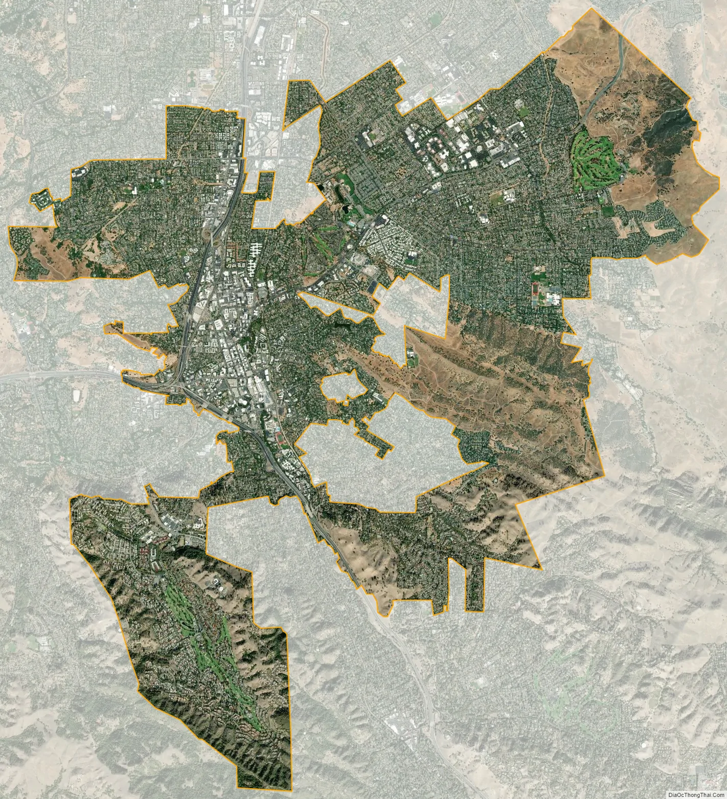
Walnut Creek city Satellite Map
Geography
Walnut Creek is located at 37°54′23″N 122°03′54″W / 37.90639°N 122.06500°W / 37.90639; -122.06500. Portions lie in both the San Ramon Valley and the Ygnacio Valley below the western slopes of Mount Diablo. According to the United States Census Bureau, the city has a total area of 19.8 sq mi (51.2 km), 0.06 percent of which is water. Walnut Creek – the actual waterway that runs through the town – has been routed underneath downtown through a series of tunnels. These start at the southwest end of Macy’s and end just southwest of Bar Camino Restaurant.
Neighborhoods
Walnut Creek consists of a bustling, upscale downtown with established neighborhoods in its surrounding areas. Neighborhoods range in affordability and feel, with some being exceptionally charming and tight-knit (e.g., Parkmead) while others are more rural and forested with homes on generous lots (e.g., Tice Valley). Not all neighborhoods are incorporated; there are many unincorporated areas that are serviced by Contra Costa County. A non-exhaustive list of neighborhoods in Walnut Creek include:
- Castle Hill
- Carriage Square
- Diablo Shadows
- Lakewood Area
- Larkey Park (Median SFH sold price of $1,205,000 — Feb 2022)
- Livorna Estates
- Northgate (Median SFH sold price of $1,762,500 — Feb 2022)
- Overlook
- Parkmead
- Rancho Paraiso (Median SFH sold price of $2,500,000 — Feb 2022)
- Rossmoor (A 55+ retirement community of approximately 10,000 residents)
- Rudgear Estates
- Saranap (Median SFH sold price of $1,900,000 — Feb 2022)
- Summit Ridge
- Tice Valley (Median SFH sold price of $1,879,000 — Feb 2022)
- Walnut Heights (Median SFH sold price of $1,802,000 — Feb 2022)
- Walnut Knolls
- Homestead
- Creekside
Depending on the neighborhood, homes can be assigned to schools in Lafayette, San Ramon Valley, Walnut Creek, or Mt. Diablo Unified School District.
Open space
Walnut Creek owns more open space per capita than any other community in the state of California. In 1974, Walnut Creek voters approved a $6.7 million bond measure to acquire and protect open space: the city purchased 1,800 acres (730 ha) of undeveloped hillsides, ridge lines, and park sites. Walnut Creek owns parts of Lime Ridge Open Space, Acalanes Ridge Open Space, Shell Ridge Open Space, and Sugarloaf Open Space.
The East Bay Regional Park District operates Diablo Foothills Regional Park and Castle Rock Regional Recreation Area, both of which are located in Walnut Creek.
Climate
Walnut Creek’s warm summer Mediterranean climate (Köppen climate classification Csb) is typical of California’s interior valleys. In summer, high pressure results in almost unbroken sunshine and virtually no precipitation. Days start out cool but quickly warm up, with high temperatures normally in the 80s Fahrenheit (27 to 32 °C). Temperatures of 100 °F (38 °C) or hotter occur numerous times during heatwaves, however. In the winter, the jet stream moves far enough south so that Pacific storms can reach Walnut Creek, bringing much-needed rain – average annual rainfall approximates 20 inches (510 mm), with slight variations occurring in microclimates based on elevation and topography. During particularly cold storms, snow falls on the peak of nearby Mount Diablo, but snow in the valley floor is very rare. There are numerous clear, mild days in winter, often with morning frost. The climate allows for the successful cultivation of many plants and crops, being warm enough for citrus yet cold enough for apples. The Ruth Bancroft Garden is a renowned botanical garden that showcases the diversity of plants that can be successfully grown.
See also
Map of California State and its subdivision:- Alameda
- Alpine
- Amador
- Butte
- Calaveras
- Colusa
- Contra Costa
- Del Norte
- El Dorado
- Fresno
- Glenn
- Humboldt
- Imperial
- Inyo
- Kern
- Kings
- Lake
- Lassen
- Los Angeles
- Madera
- Marin
- Mariposa
- Mendocino
- Merced
- Modoc
- Mono
- Monterey
- Napa
- Nevada
- Orange
- Placer
- Plumas
- Riverside
- Sacramento
- San Benito
- San Bernardino
- San Diego
- San Francisco
- San Joaquin
- San Luis Obispo
- San Mateo
- Santa Barbara
- Santa Clara
- Santa Cruz
- Shasta
- Sierra
- Siskiyou
- Solano
- Sonoma
- Stanislaus
- Sutter
- Tehama
- Trinity
- Tulare
- Tuolumne
- Ventura
- Yolo
- Yuba
- Alabama
- Alaska
- Arizona
- Arkansas
- California
- Colorado
- Connecticut
- Delaware
- District of Columbia
- Florida
- Georgia
- Hawaii
- Idaho
- Illinois
- Indiana
- Iowa
- Kansas
- Kentucky
- Louisiana
- Maine
- Maryland
- Massachusetts
- Michigan
- Minnesota
- Mississippi
- Missouri
- Montana
- Nebraska
- Nevada
- New Hampshire
- New Jersey
- New Mexico
- New York
- North Carolina
- North Dakota
- Ohio
- Oklahoma
- Oregon
- Pennsylvania
- Rhode Island
- South Carolina
- South Dakota
- Tennessee
- Texas
- Utah
- Vermont
- Virginia
- Washington
- West Virginia
- Wisconsin
- Wyoming


