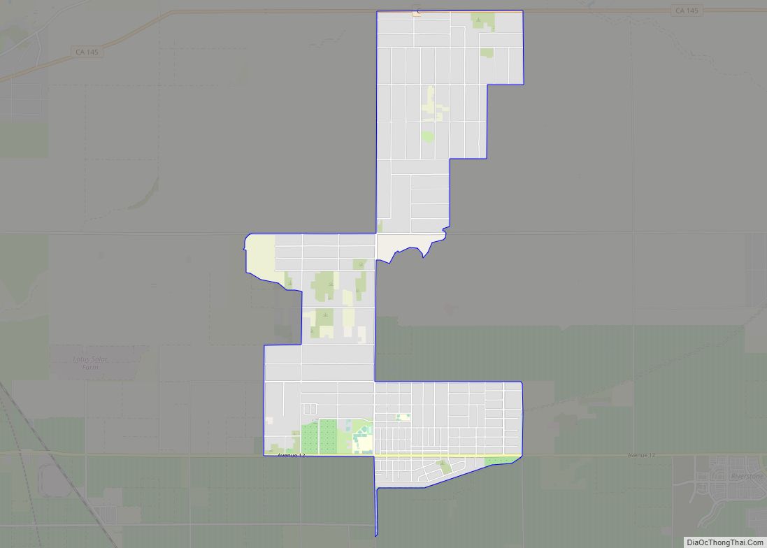
Map of Bodfish CDP

Map of Bodfish CDP

Bodfish is a census-designated place (CDP) in the southern Kern River Valley of the Southern Sierra Nevada, in Kern County, California. Bodfish is located 32 miles (51 km) east-northeast of Bakersfield, at an elevation of 2,687 feet (819 m). The population was 1,956 at the 2010 census, up from 1,823 at the 2000 census. Bodfish CDP overview: … Read more

Map of Bodega CDP

Map of Bodega CDP

Bodega is an unincorporated community and census-designated place (CDP) in Sonoma County in the U.S. state of California. The town had a population of 220 as of the 2010 Census. Bodega is located on Bodega Highway, about 5 mi (8 km) west of Freestone, California. Salmon Creek flows through the town. Bodega CDP overview: Name: Bodega CDP … Read more

Map of Bodega Bay CDP

Map of Bodega Bay CDP

Bodega Bay is a village and census-designated place (CDP) in Sonoma County, California, United States. The population was 912 at the 2020 census. The town, located along State Route 1, is on the eastern side of Bodega Harbor, an inlet of Bodega Bay on the Pacific coast. Bodega Bay CDP overview: Name: Bodega Bay CDP … Read more

Map of Bonadelle Ranchos-Madera Ranchos CDP

Map of Bonadelle Ranchos-Madera Ranchos CDP

Bonadelle Ranchos and Madera Ranchos are a pair of communities in Madera County, California, United States. They are part of the Madera–Chowchilla Metropolitan Statistical Area. Prior to 2020, the communities were part of the Bonadelle Ranchos-Madera Ranchos Census Designated Place, with a population of 8,569 at the 2010 census. For the 2020 census, the area … Read more

Map of Bombay Beach CDP

Map of Bombay Beach CDP

Bombay Beach is a census-designated place (CDP) in Imperial County, California, United States. It is located on the Salton Sea, 4 miles (6.4 km) west-southwest of Frink and is the lowest community in the United States, located 223 feet (68 m) below sea level. The population was 231 at the 2020 census, down from 295 in 2010, … Read more

Map of Bolinas CDP

Map of Bolinas CDP

Bolinas is an unincorporated coastal community and census-designated place in Marin County, California, United States. As of the 2020 census it had a population of 1,483. It is located on the California coast, approximately 13 miles (21 km) (straight line distance) northwest of San Francisco, and 27 miles (43 km) by road. The community is known for … Read more

Map of Bonsall CDP

Map of Bonsall CDP

Bonsall is a census-designated place (CDP) in San Diego County, California. The population was 3,982 at the 2010 census, up from 3,401 at the 2000 census. The Bonsall area was heavily affected by the Lilac Fire in December 2017, which burned 4,100 acres. Bonsall CDP overview: Name: Bonsall CDP LSAD Code: 57 LSAD Description: CDP … Read more

Map of Bonny Doon CDP

Map of Bonny Doon CDP

Bonny Doon is a census-designated place in Santa Cruz County, California. It is situated northwest of the city of Santa Cruz, considered part of the southern San Francisco Bay Area or northern Monterey Bay Area. Bonny Doon’s population was 2,868, as reported by the 2020 United States Census. Bonny Doon CDP overview: Name: Bonny Doon … Read more

Map of Bonita CDP

Map of Bonita CDP, California

Bonita (Spanish for “Beautiful”) is a census-designated place (CDP) in southern San Diego County, California, nestled between the cities of Chula Vista, National City, and San Diego. The population was 12,538 at the 2010 census. Bonita CDP overview: Name: Bonita CDP LSAD Code: 57 LSAD Description: CDP (suffix) State: California County: San Diego County Elevation: … Read more

Map of Boron CDP

Map of Boron CDP

Boron (formerly Amargo, Baker, Borate, and Kern) is a census-designated place (CDP) in Kern County, California, United States. Boron is 15 miles (24 km) southwest of Red Rock Mountain at an elevation of 2,467 feet (752 m). The population was 2,086 at the 2020 census, up from 2,025 at the 2000 census. Boron is named after the … Read more

Map of Bootjack CDP

Map of Bootjack CDP

Bootjack is an unincorporated community and census-designated place in Mariposa County, California, United States. The population was 661 at the 2020 census, down from 960 in 2010 and 1,588 in 2000, largely due to reductions in the area of the CDP. Bootjack CDP overview: Name: Bootjack CDP LSAD Code: 57 LSAD Description: CDP (suffix) State: … Read more

Map of Boonville CDP

Map of Boonville CDP, California

Boonville (formerly The Corners and Kendall’s City) is a census-designated place (CDP) in Mendocino County, California, United States. It is located 12.5 miles (20 km) southwest of Ukiah, at an elevation of 381 feet (116 m). The population was 1,018 at the 2020 census. Boonville CDP overview: Name: Boonville CDP LSAD Code: 57 LSAD Description: CDP … Read more