Bonny Doon is a census-designated place in Santa Cruz County, California. It is situated northwest of the city of Santa Cruz, considered part of the southern San Francisco Bay Area or northern Monterey Bay Area. Bonny Doon’s population was 2,868, as reported by the 2020 United States Census.
| Name: | Bonny Doon CDP |
|---|---|
| LSAD Code: | 57 |
| LSAD Description: | CDP (suffix) |
| State: | California |
| County: | Santa Cruz County |
| Elevation: | 1,476 ft (450 m) |
| Total Area: | 16.56 sq mi (42.90 km²) |
| Land Area: | 16.56 sq mi (42.90 km²) |
| Water Area: | 0.00 sq mi (0.00 km²) 0% |
| Total Population: | 2,868 |
| Population Density: | 173.16/sq mi (66.86/km²) |
| ZIP code: | 95060 |
| FIPS code: | 0607470 |
| GNISfeature ID: | 2582948 |
Online Interactive Map
Click on ![]() to view map in "full screen" mode.
to view map in "full screen" mode.
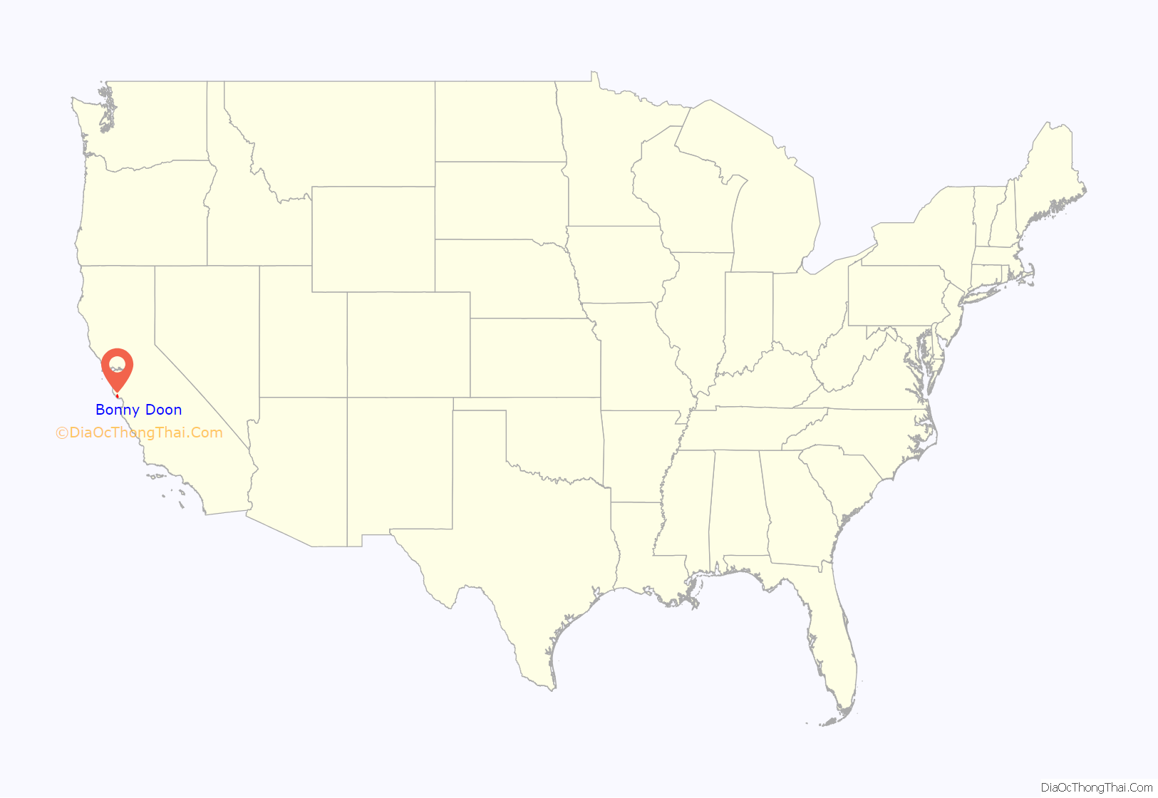
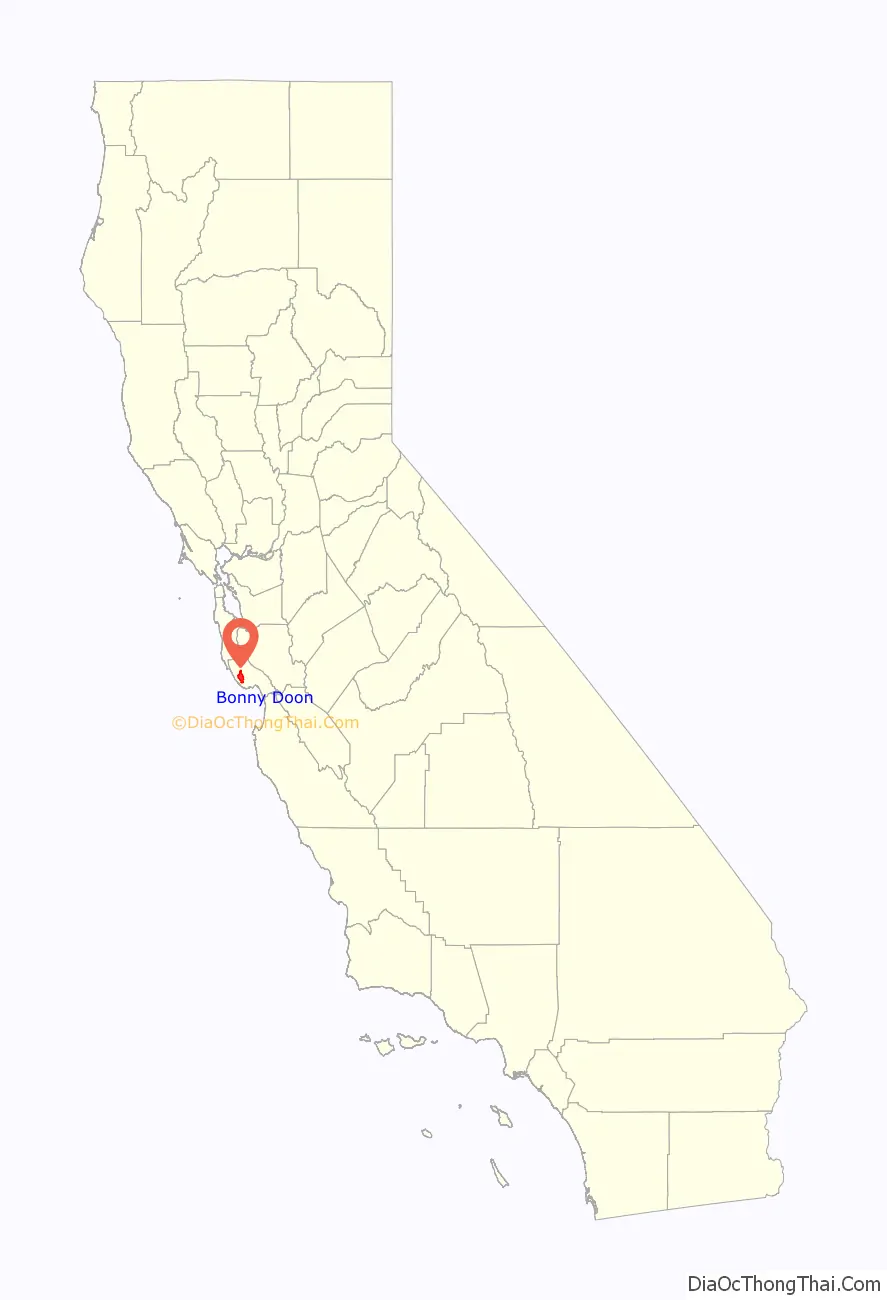
Bonny Doon location map. Where is Bonny Doon CDP?
History
It was founded in the 1850s as a logging camp. The current name can be attested back to 1902: John Burns, a Scotsman living in Santa Cruz, named Bonny Doon after a line in the Robert Burns song “The Banks O’ Doon”. The line is: “Ye banks and braes o’ bonnie Doon…”, and refers back to the Doon River in Scotland. Evidence of 2,600 years of occupation by Native Americans has been found in the area.
Bonny Doon has no city center or commercial shops, but features several wineries including Bonny Doon Vineyard, a church, two fire stations, a lavender farm, the Bonny Doon Ecological Reserve, an elementary school, and a private-use airport. A beach of the same name is nearby.
In 2020, Bonny Doon was popular with remote workers during the COVID-19 pandemic.
Wildfires
At 2:54 p.m. on June 11, 2008, a fire broke out at the Bonny Doon Ecological Reserve, a preserve with a number of hiking trails located on Martin Road. This Martin Fire burned 520 acres (2.1 km), destroying three residences and eight outbuildings. About 1,500 residents of Bonny Doon were evacuated as a result of the fire. Governor Arnold Schwarzenegger declared a state of emergency for Santa Cruz County. The blaze cost over $5.4 million to contain and was part of a busy summer of wildfires in California.
Little more than one year later, on August 12, 2009 at 7:16 pm, a second fire started in Bonny Doon, near the Lockheed facility off Empire Grade. The Lockheed Fire burned 7,817 acres (31.63 km), and destroyed 13 outbuildings. More than 2,000 residents were evacuated as the blaze spread from Swanton south toward Bonny Doon. The blaze cost over $26.6 million and took nearly 2 weeks to be fully contained. The cause of the fire remains under investigation.
In August 2020, Bonny Doon was affected by the CZU complex of lightning-initiated fires, which joined together to form one of the top 10 largest fires ever in California. Many home structures, the local school, and lavender field farm were protected by local residents – and one neighbor’s (borrowed) fire equipment truck. This band of neighbors defied an evacuation order and worked together over 4 days and nights to save multiple properties in their community, with the help of CAL Fire at the very peak of the fire. {Stories of the heroic actions of community members who stayed behind to protect homes yet to be added by a local resident}
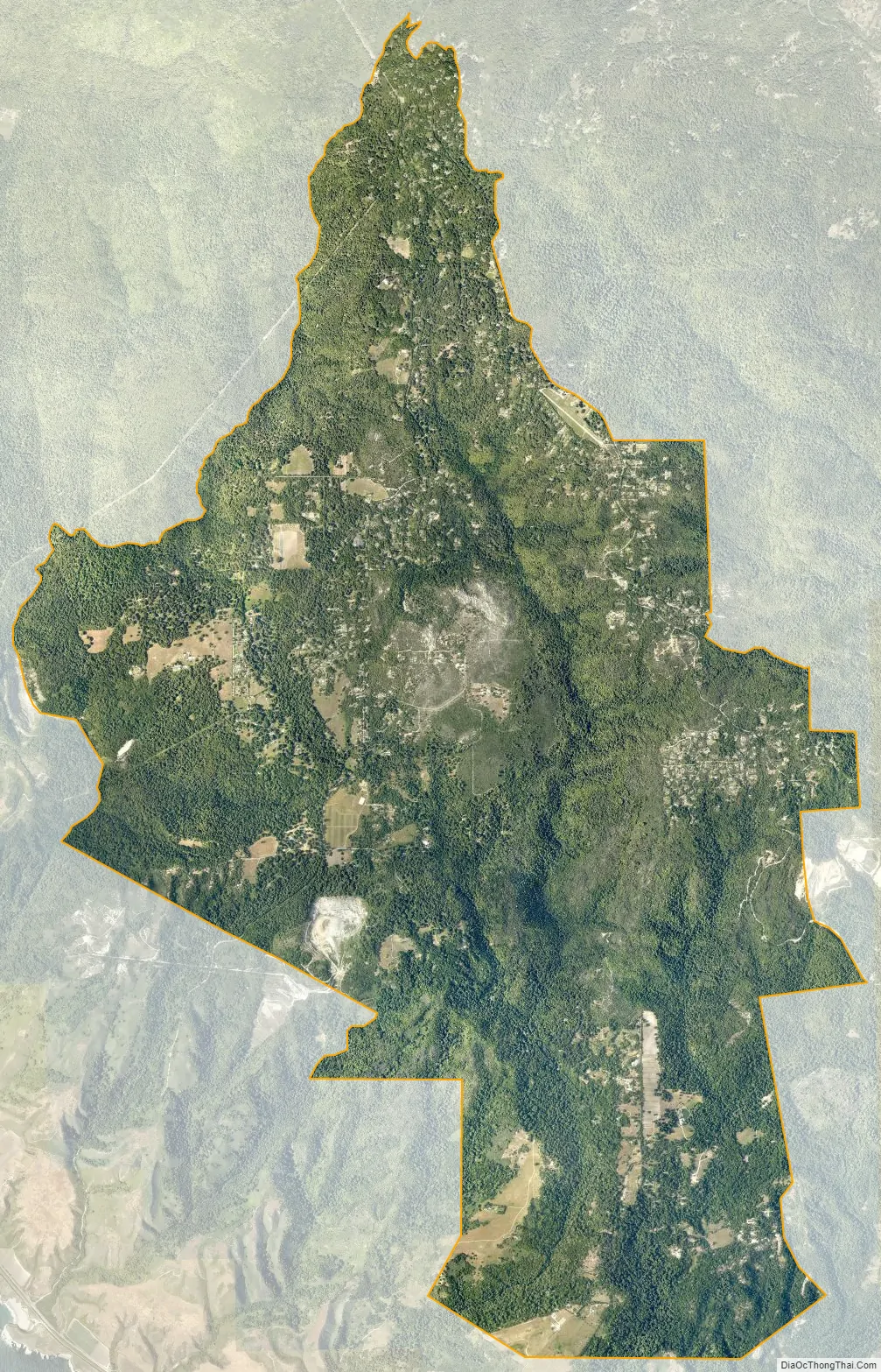
Bonny Doon Road Map

Bonny Doon city Satellite Map
Geography
According to the United States Census Bureau, the CDP covers an area of 16.7 square miles (43.2 km), all of it land. The area sits at an elevation of 1,476 feet (450 m).
The area is on a slope with higher elevations in redwood forest or maritime chaparral, and lower elevations descending into the coastal zone, which is occupied by grasslands. There are ocean views from parts of the area on days when fog is not present.
The road to Bonny Doon from State Route 1, named Bonny Doon Road, crosses an enclosed, unmarked conveyor belt, which carried limestone from a quarry 3 miles (4.8 km) east to the Cemex cement plant in Davenport. The Davenport plant had supplied cement for later stages of the Panama Canal and other large projects since its founding in 1906, but is now closed.
See also
Map of California State and its subdivision:- Alameda
- Alpine
- Amador
- Butte
- Calaveras
- Colusa
- Contra Costa
- Del Norte
- El Dorado
- Fresno
- Glenn
- Humboldt
- Imperial
- Inyo
- Kern
- Kings
- Lake
- Lassen
- Los Angeles
- Madera
- Marin
- Mariposa
- Mendocino
- Merced
- Modoc
- Mono
- Monterey
- Napa
- Nevada
- Orange
- Placer
- Plumas
- Riverside
- Sacramento
- San Benito
- San Bernardino
- San Diego
- San Francisco
- San Joaquin
- San Luis Obispo
- San Mateo
- Santa Barbara
- Santa Clara
- Santa Cruz
- Shasta
- Sierra
- Siskiyou
- Solano
- Sonoma
- Stanislaus
- Sutter
- Tehama
- Trinity
- Tulare
- Tuolumne
- Ventura
- Yolo
- Yuba
- Alabama
- Alaska
- Arizona
- Arkansas
- California
- Colorado
- Connecticut
- Delaware
- District of Columbia
- Florida
- Georgia
- Hawaii
- Idaho
- Illinois
- Indiana
- Iowa
- Kansas
- Kentucky
- Louisiana
- Maine
- Maryland
- Massachusetts
- Michigan
- Minnesota
- Mississippi
- Missouri
- Montana
- Nebraska
- Nevada
- New Hampshire
- New Jersey
- New Mexico
- New York
- North Carolina
- North Dakota
- Ohio
- Oklahoma
- Oregon
- Pennsylvania
- Rhode Island
- South Carolina
- South Dakota
- Tennessee
- Texas
- Utah
- Vermont
- Virginia
- Washington
- West Virginia
- Wisconsin
- Wyoming


